♻️Built to Last
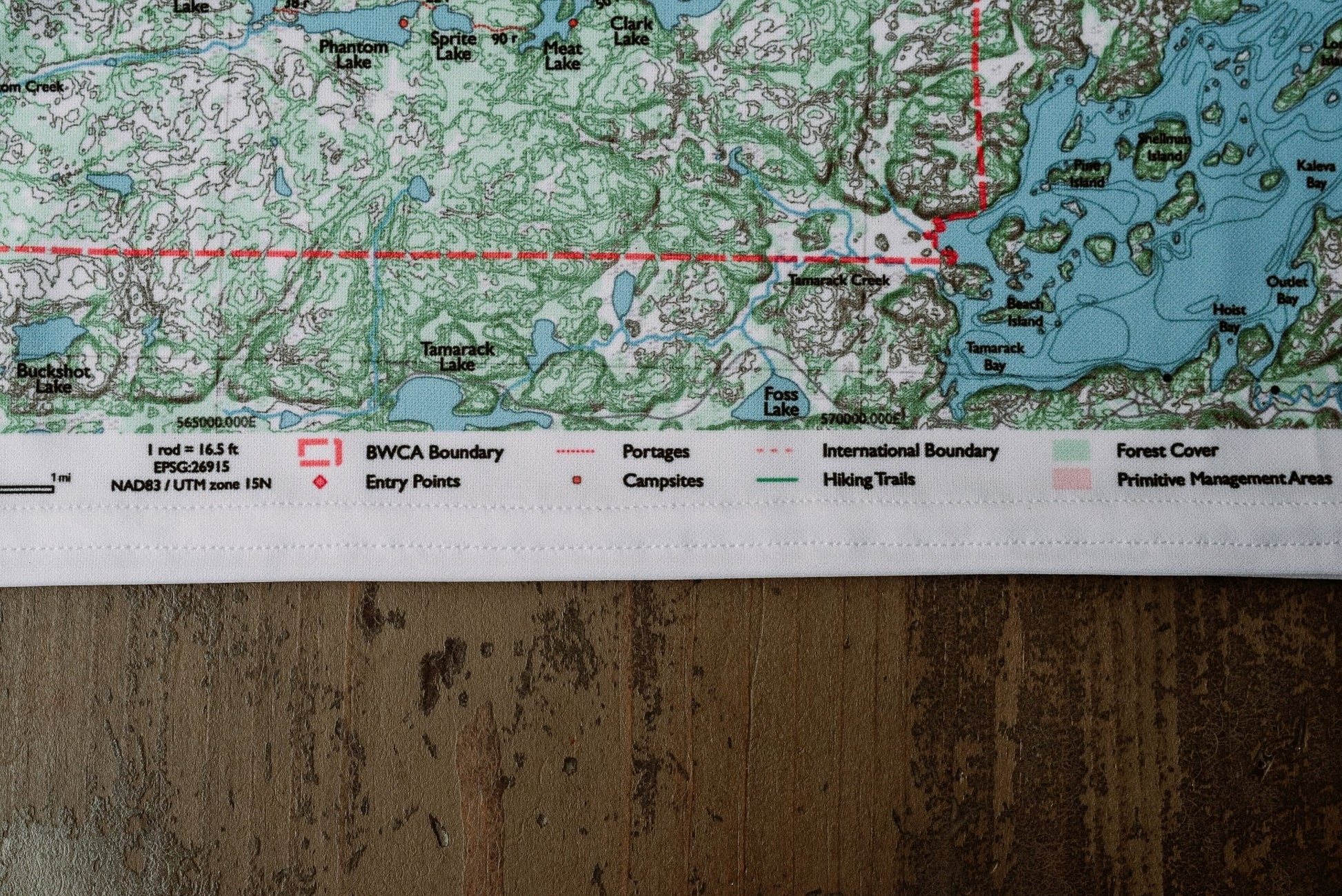
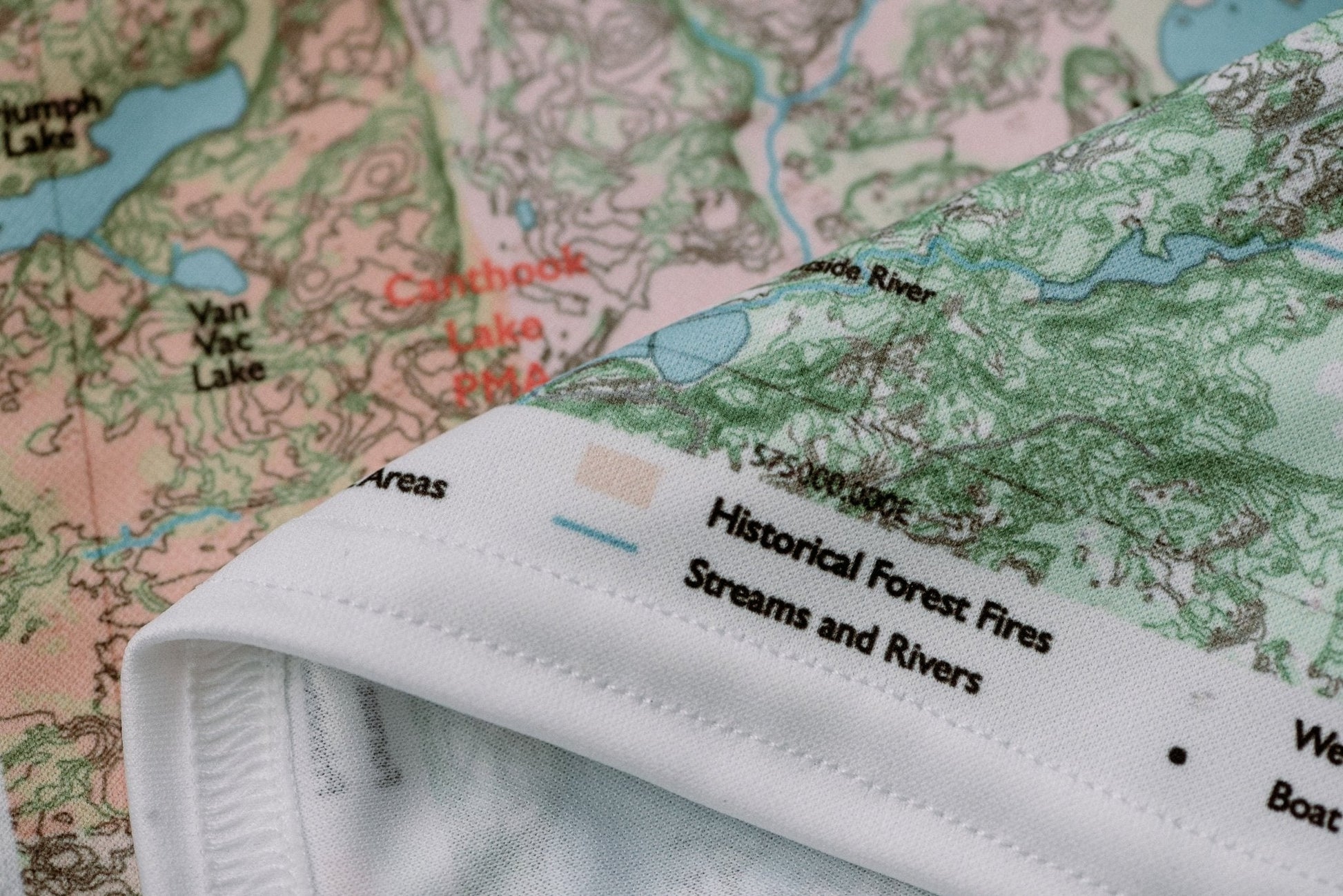
Durable cloth maps designed for years of use, not single trips
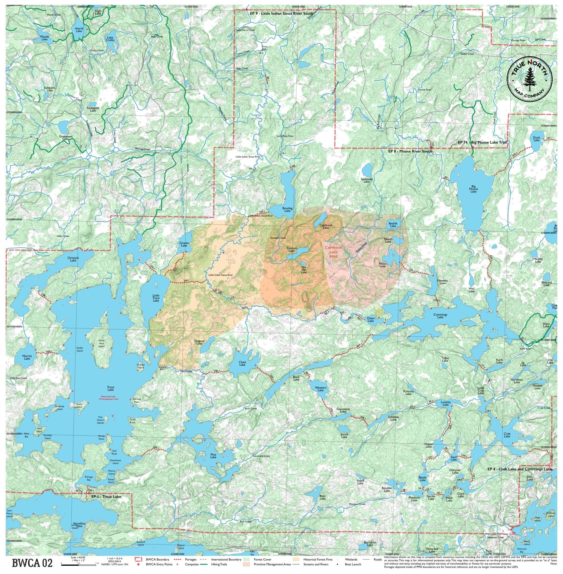
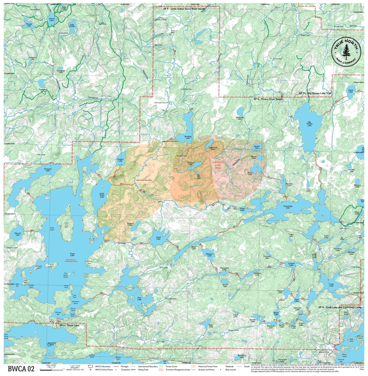
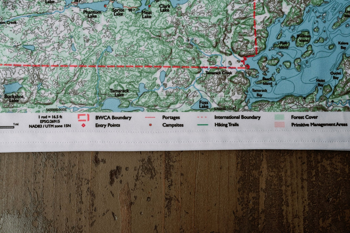
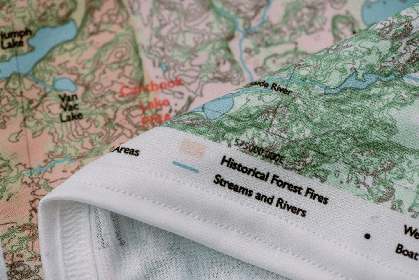
The gateway to the Boundary Waters from Ely, Minnesota's canoe capital. This map covers the lakes surrounding Ely — Burntside, Trout, and Lake Vermilion — including several entry points that see year-round traffic. A good map for day trips or weeklong paddles close to town, with a mix of well-traveled entry lakes and quieter interior water once you get past the first portage.
True North Map Co. is an independent map publisher and is not affiliated with, endorsed by, or sponsored by the National Park Service, U.S. Forest Service, U.S. Fish & Wildlife Service, Bureau of Land Management, the U.S. Department of the Interior, or any other government agency. Place and park names are used for identification purposes only.