True North Map Co
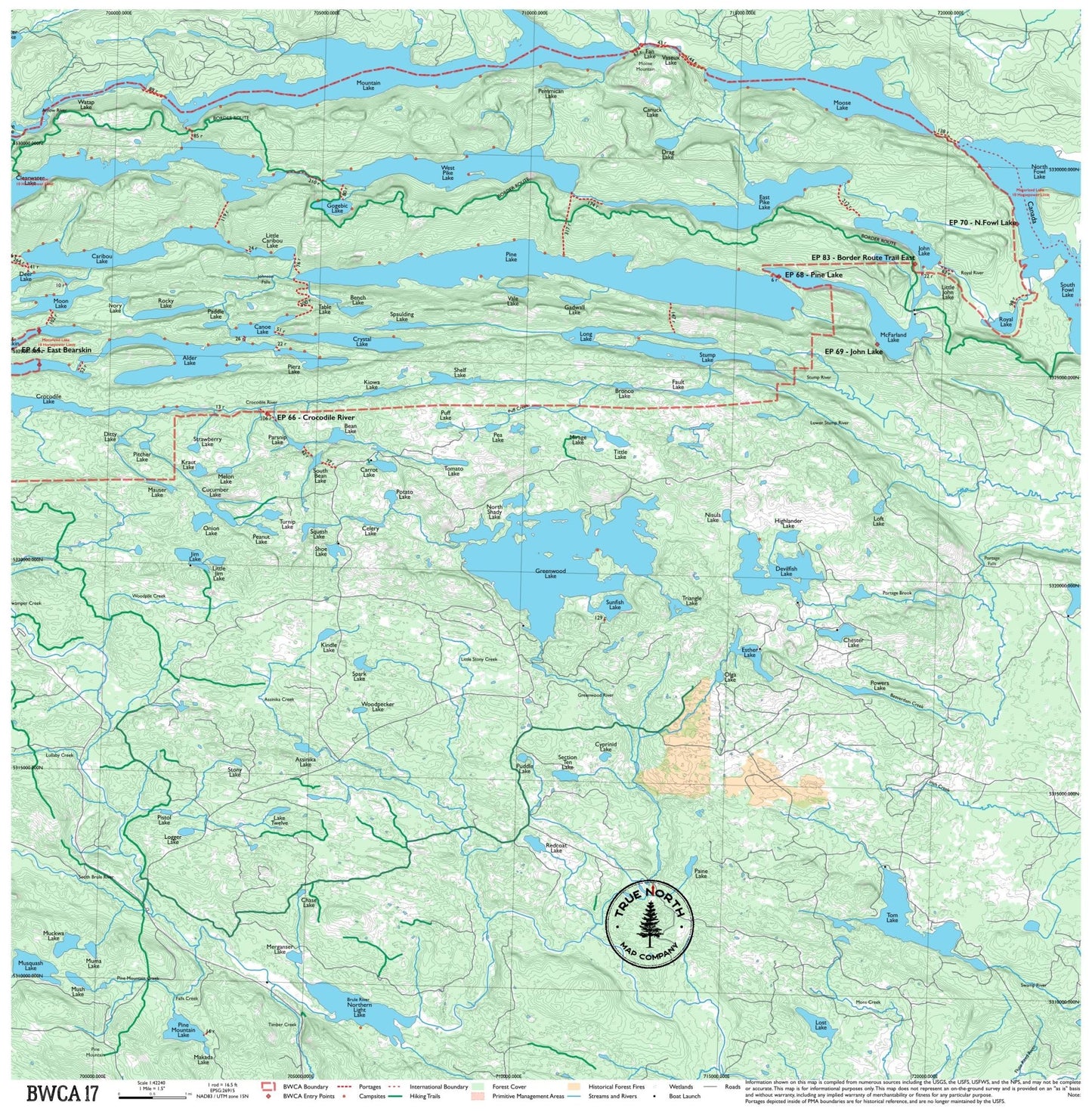
BWCA 17 – Mountain Lake & Fowl Lakes Cloth Map
BWCA 17 – Mountain Lake & Fowl Lakes Cloth Map
Where this map sits
Where this map sits


Turn your phone sideways for a bigger map. Swipe sideways to see the whole map. Tap a map next door to see it.
Entry points on this map:
- EP 64 East Bearskin
- EP 66 Crocodile River
- EP 68 Pine Lake
- EP 69 John Lake
- EP 70 N.Fowl Lake
- EP 83 Border Route Trail East
Maps next door:
- 16BWCA 16 – Rove Lake & East Gunflint$25 · In stock
Part of the Complete BWCA Map Set (1–17): all 17 maps, $375 (save $50)
Couldn't load pickup availability
The far southeastern tip of the BWCA, where the boundary waters drain toward Lake Superior. Mountain Lake, McFarland Lake, and the North and South Fowl Lakes are wild, seldom-visited, and strikingly beautiful. This corner of the BWCA feels different from the rest — more boreal, more remote, farther from the outfitter towns. For paddlers who want to go where fewer have been.
Entry Points: 6668697083
▼ Lakes on this map
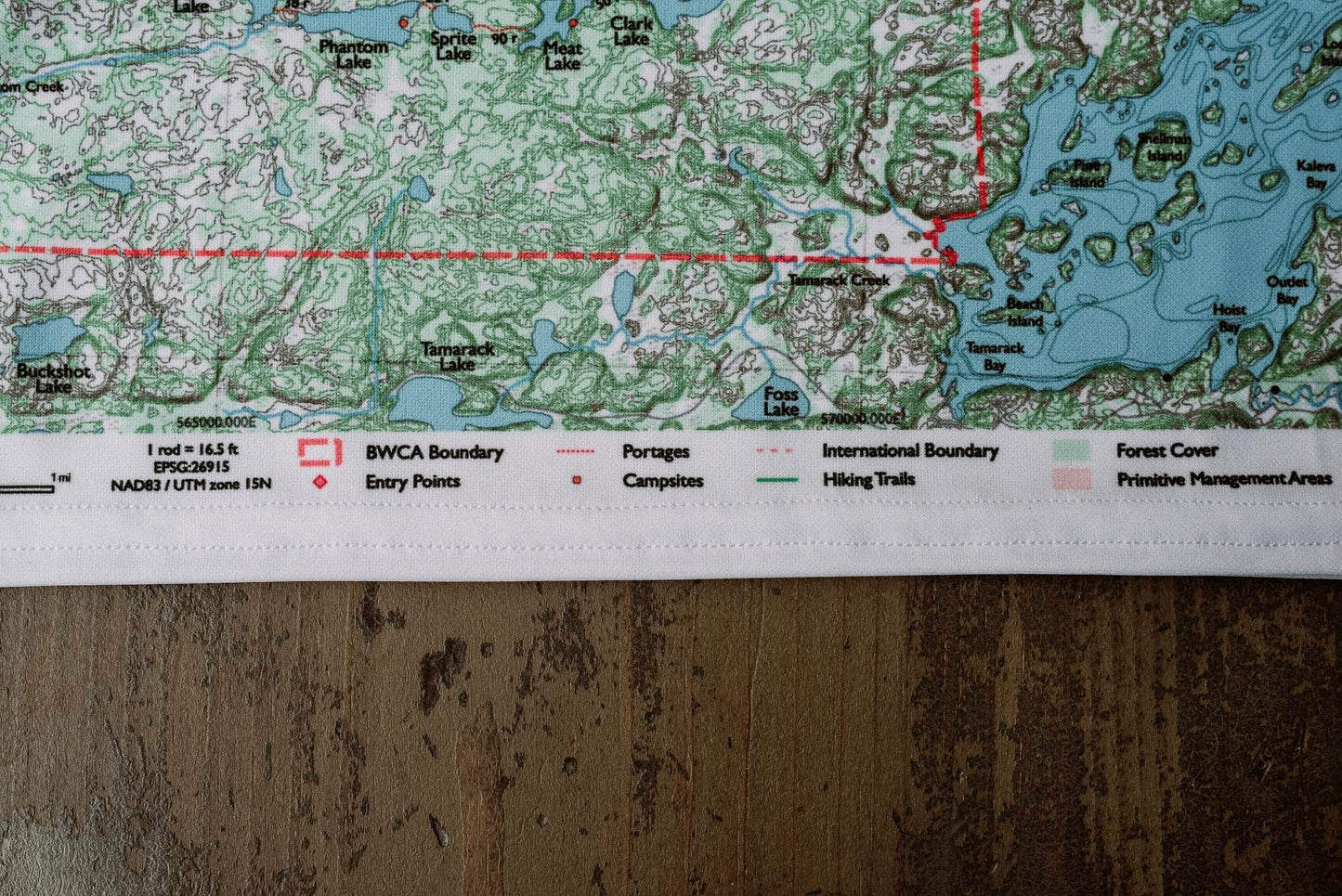
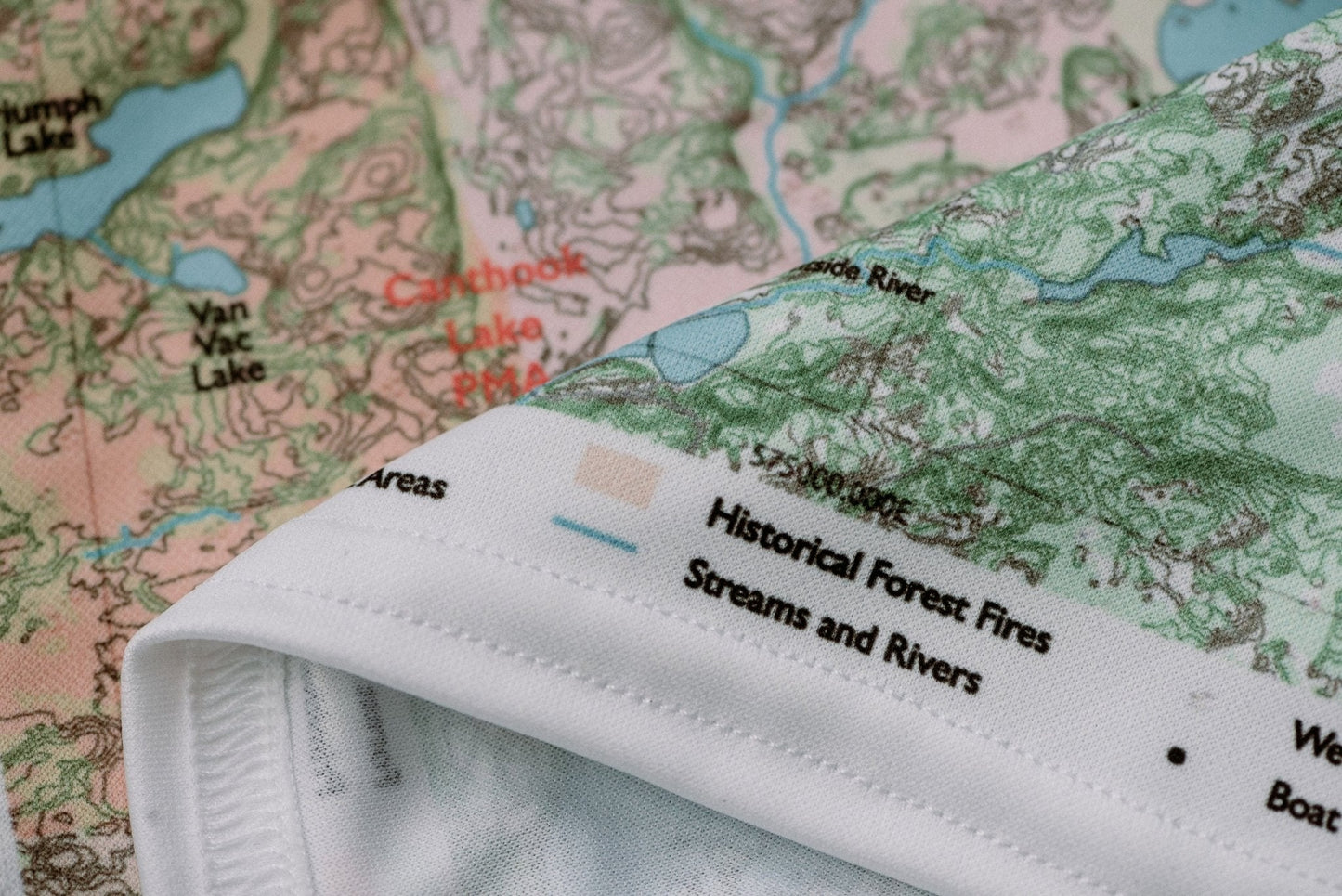
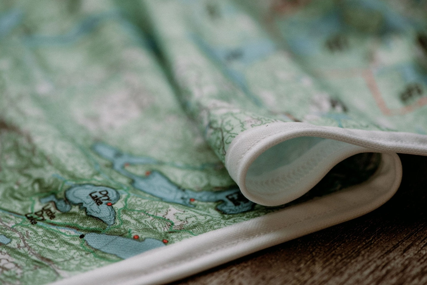
Hanging: Corner button holes let you lash the map to a pack or thwart, or hang it on a wall.
From the Field Guide: Trip Planning Timeline · How to Book Your BWCA Permit · Navigating Portages
Spot something wrong on this map? Let us know →