Collection: National Park Maps
True North National Park Maps are built for the trail — not the wall. Each map is printed on durable, waterproof cloth that folds into a pocket, handles rain and sweat, and stays readable when you need it most.
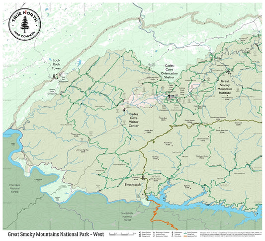
Great Smoky Mountains: Four editions covering Chimney Tops, Alum Cave Trail, Laurel Falls, Clingmans Dome, Abrams Falls, Cataloochee Valley, and the full Appalachian Trail corridor through the park.
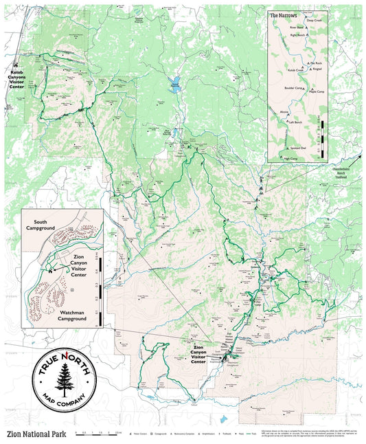
Zion National Park: Three editions covering Angels Landing, The Narrows, Emerald Pools, Kolob Arch, Canyon Overlook, and Watchman Trail.
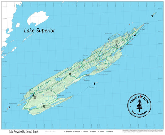
Isle Royale National Park: Full-park coverage of the Greenstone Ridge Trail, Rock Harbor, Windigo, and the island's wilderness lakes and coastline.
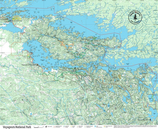
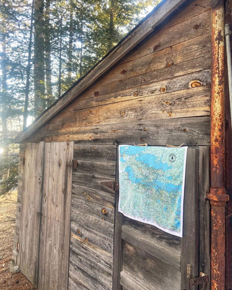
Voyageurs National Park: The park's water routes, portages, and backcountry campsites — essential for houseboat and canoe travel on Rainy Lake and Kabetogama.
Not sure which edition covers your hike? See our National Parks — Which Map Do You Need guide.
-
Great Smoky Mountains National Park Cloth Map
Regular price $25.00Regular price -
Isle Royale National Park Cloth Map
Regular price $25.00Regular price -
Voyageurs National Park Cloth Map
Regular price $25.00Regular price -
Zion National Park Cloth Map
Regular price $25.00Regular price