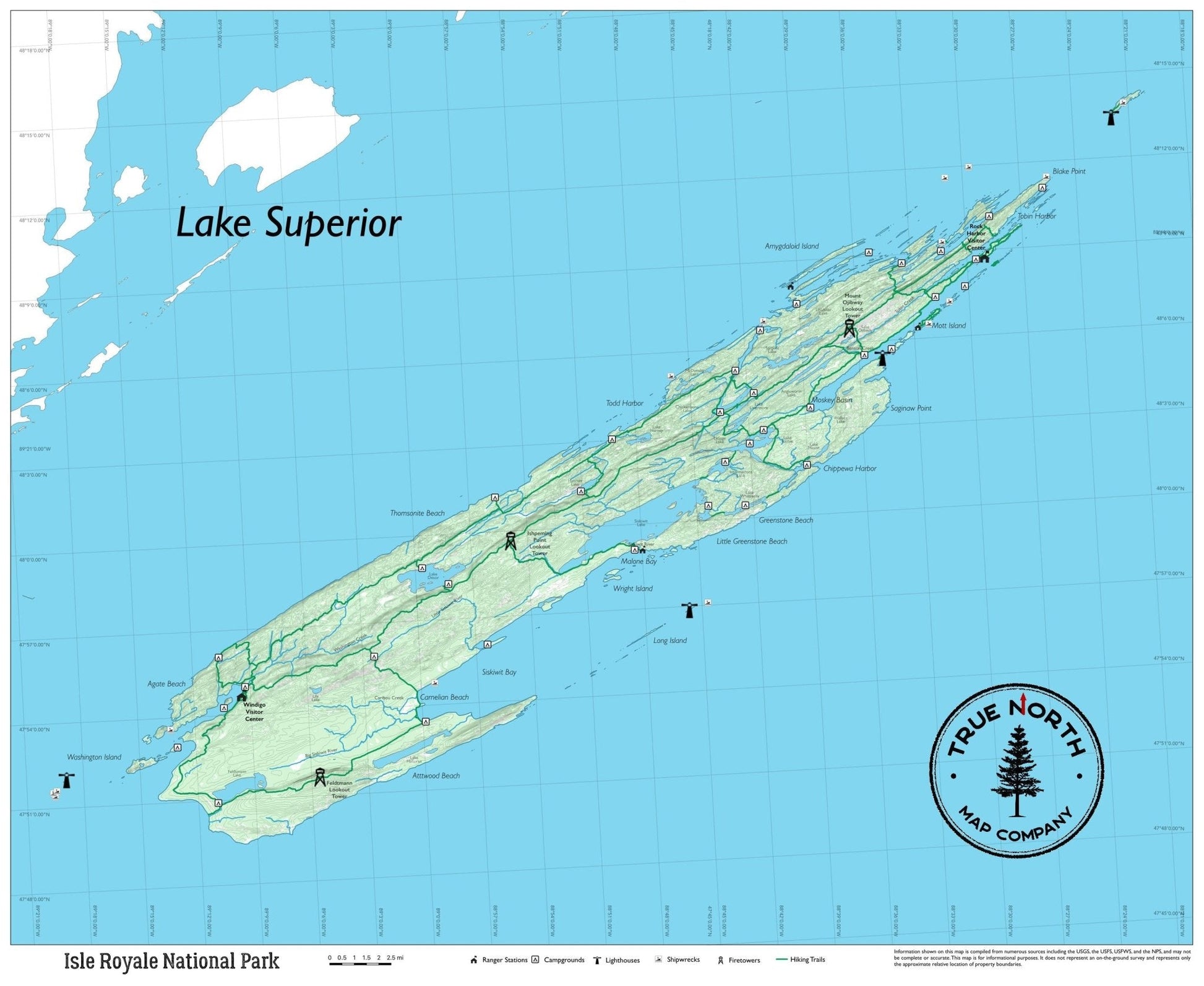
Isle Royale is a 45-mile wilderness island in Lake Superior — roadless, vehicle-free, and one of the least-visited national parks in the lower 48. The only way in is by ferry from Copper Harbor or Houghton, Michigan, or by floatplane. Once you're on the island, all travel is on foot or by canoe and kayak through the island's interior lakes and Lake Superior coastline.
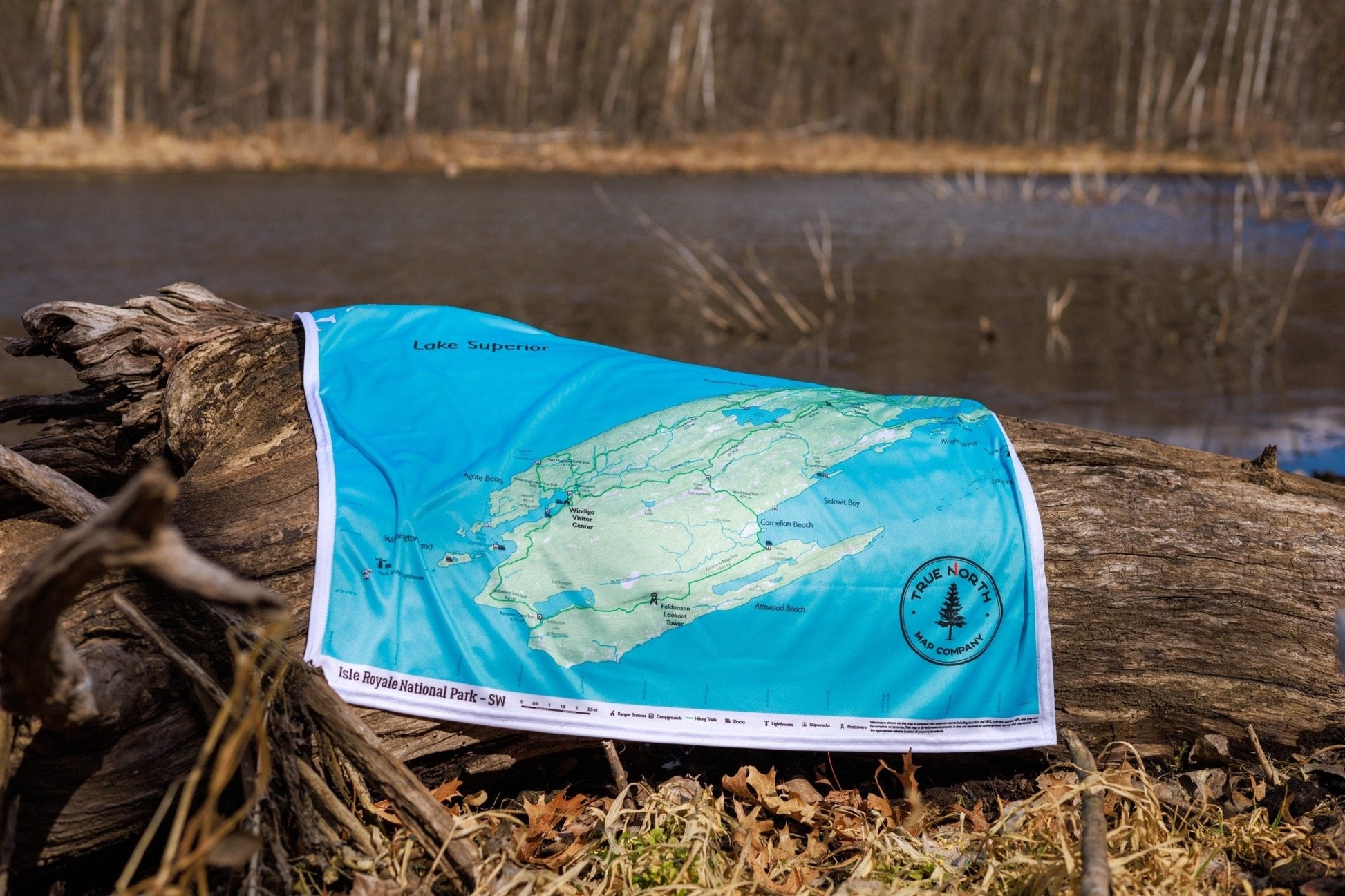
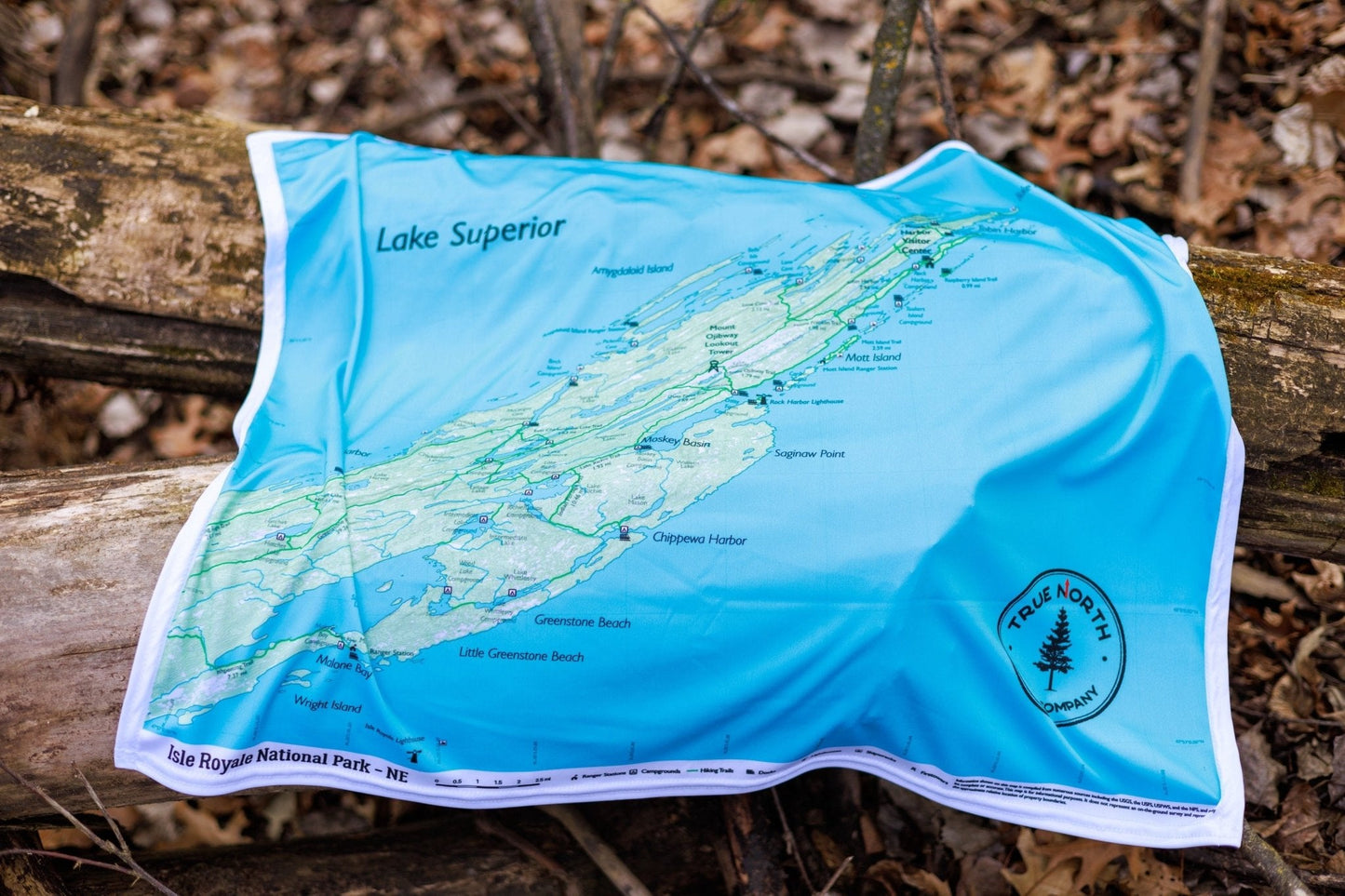
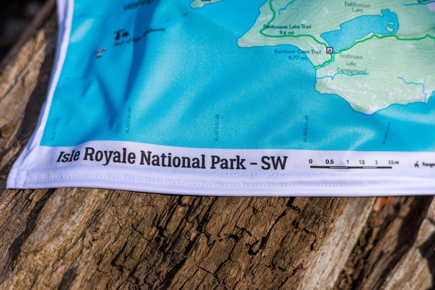
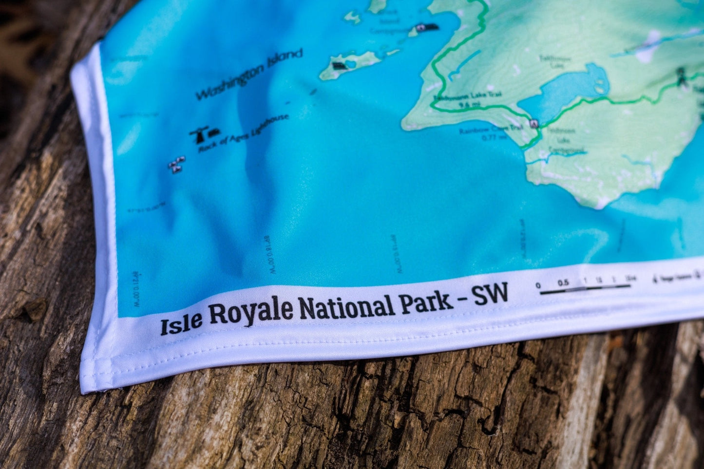
The True North Isle Royale series covers the full island across three editions — Overview, Northeast, and Southwest — each 27.5" × 22.5" on waterproof cloth.
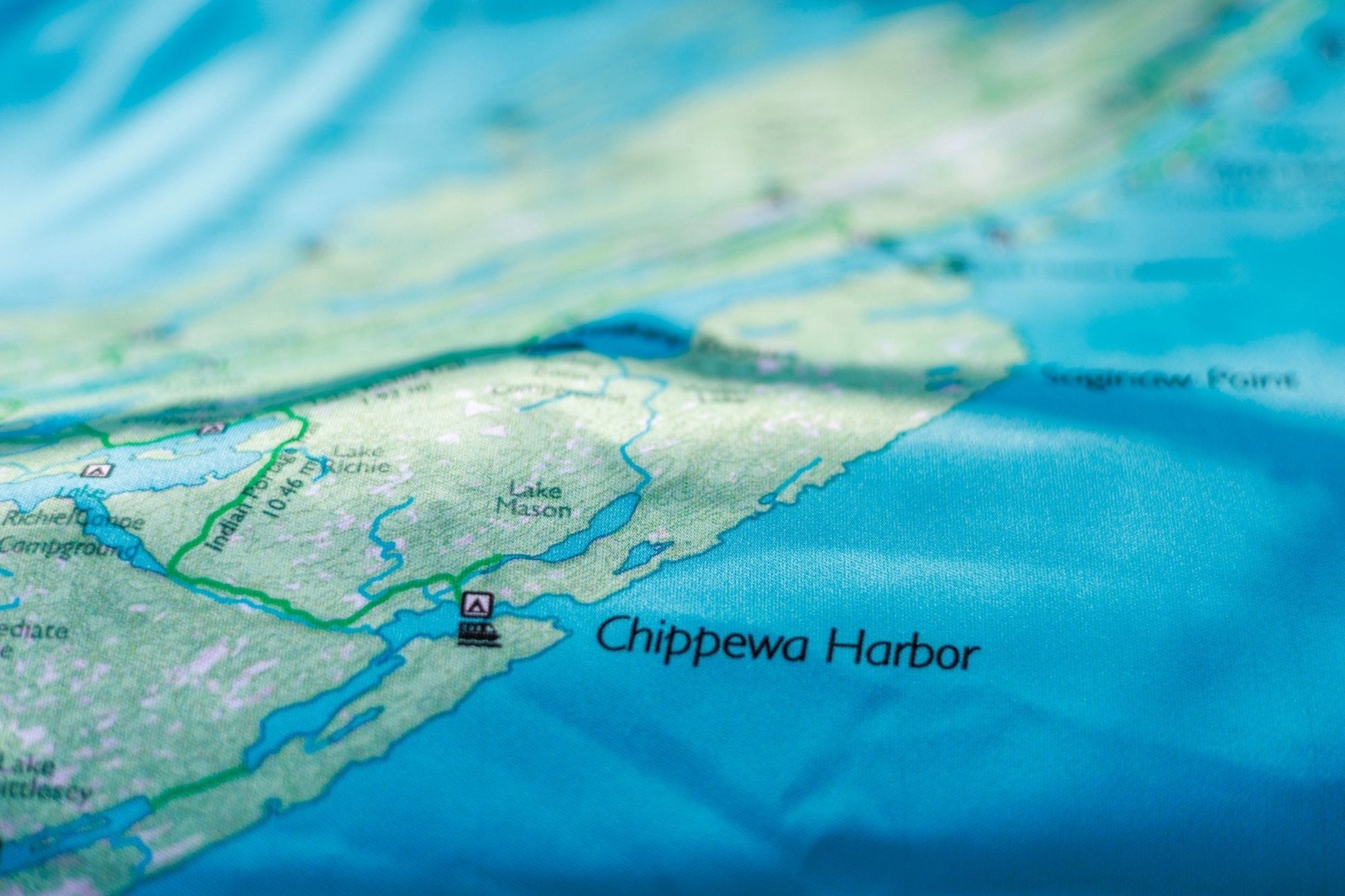
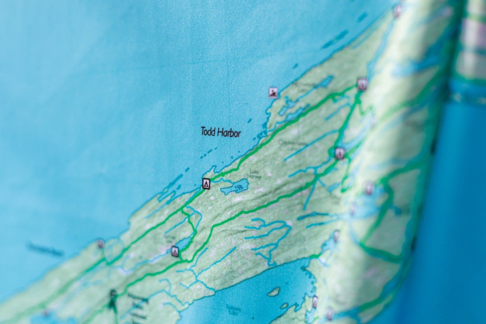
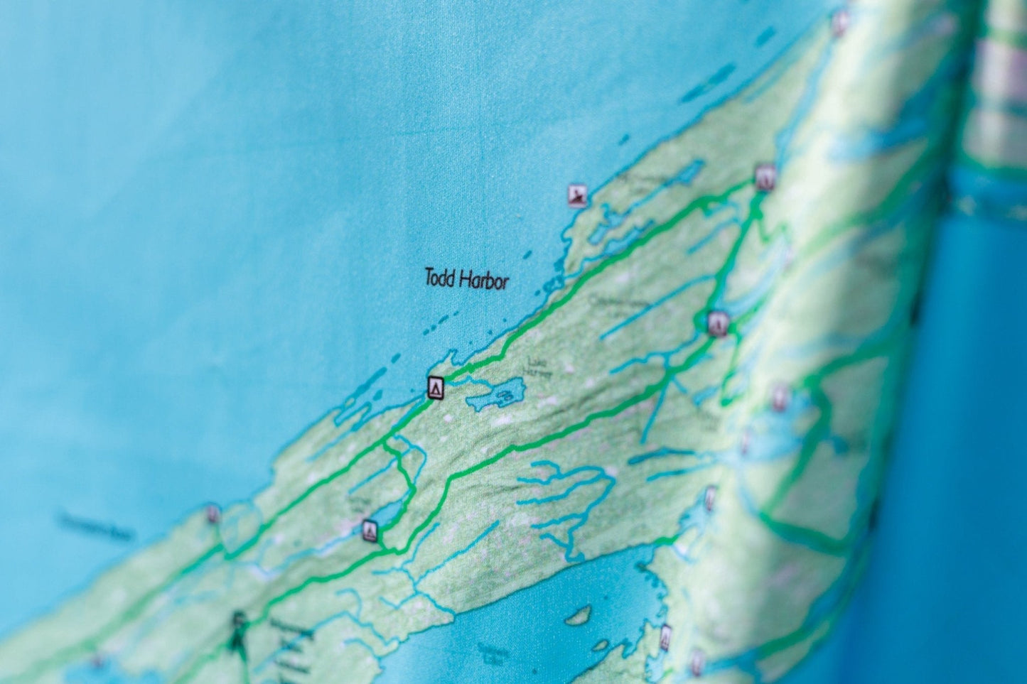
The Overview (27.5" × 22.5") covers the full island — the 40-mile Greenstone Ridge Trail (the island's spine from Windigo to Lookout Louise), the Minong Ridge Trail along the rugged north shore, Rock Harbor, Windigo, and the complete backcountry campsite and water route network.
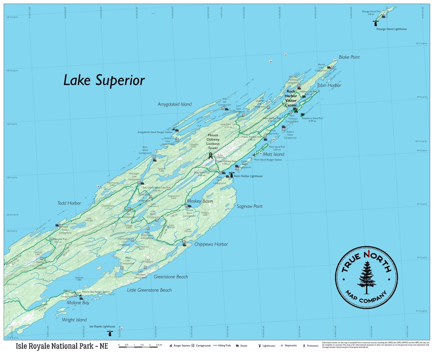
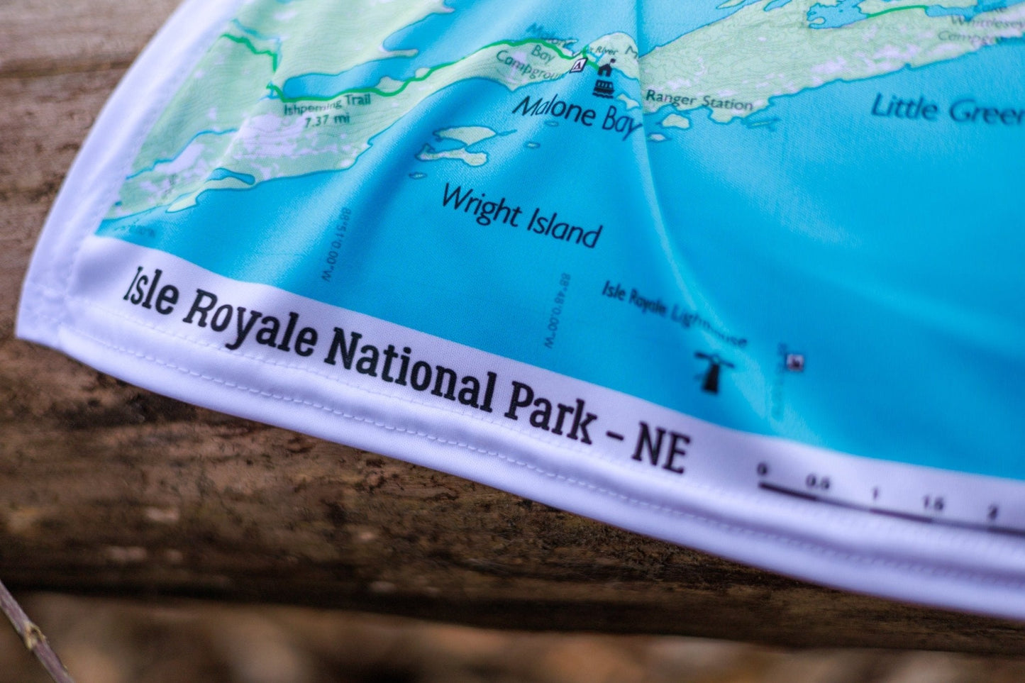
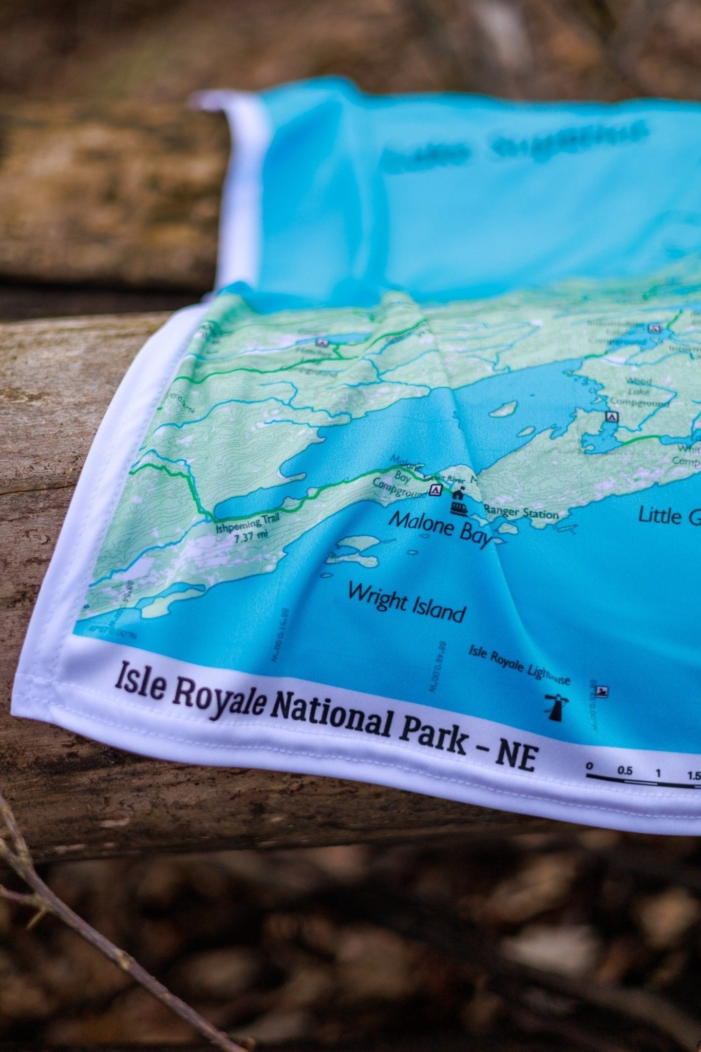
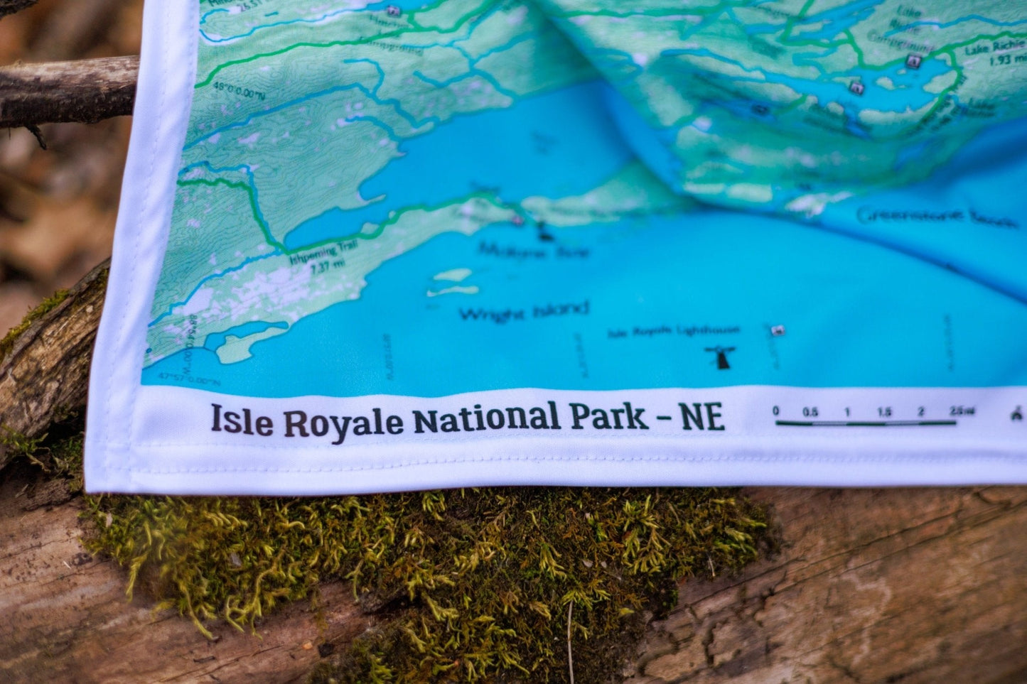
The Northeast map focuses on Rock Harbor and the eastern end of the island: Tobin Harbor, Lookout Louise, Mount Franklin, the Stoll Memorial Loop, Suzy's Cave (a Lake Superior sea arch), and the campsite network surrounding Rock Harbor Lodge.
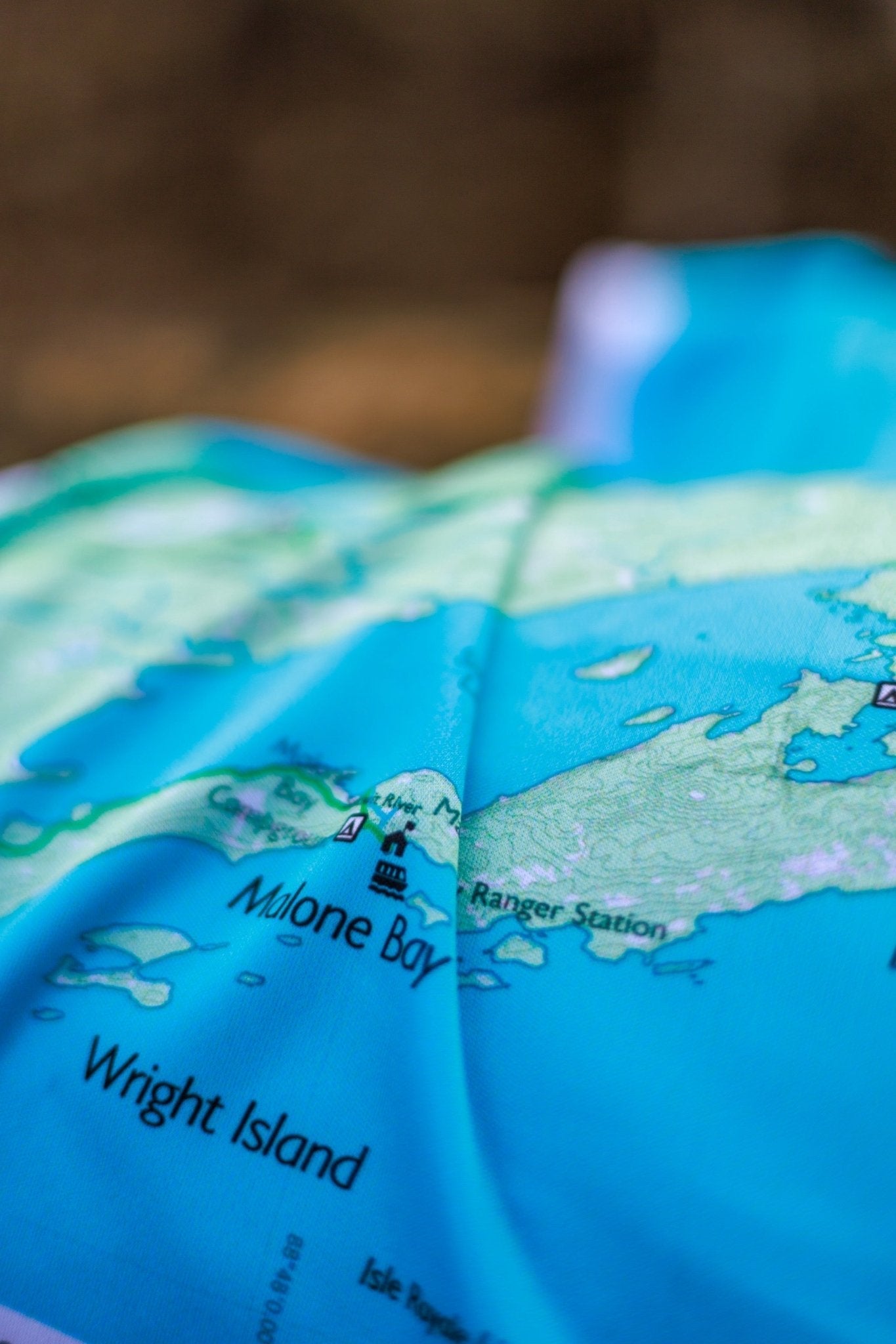
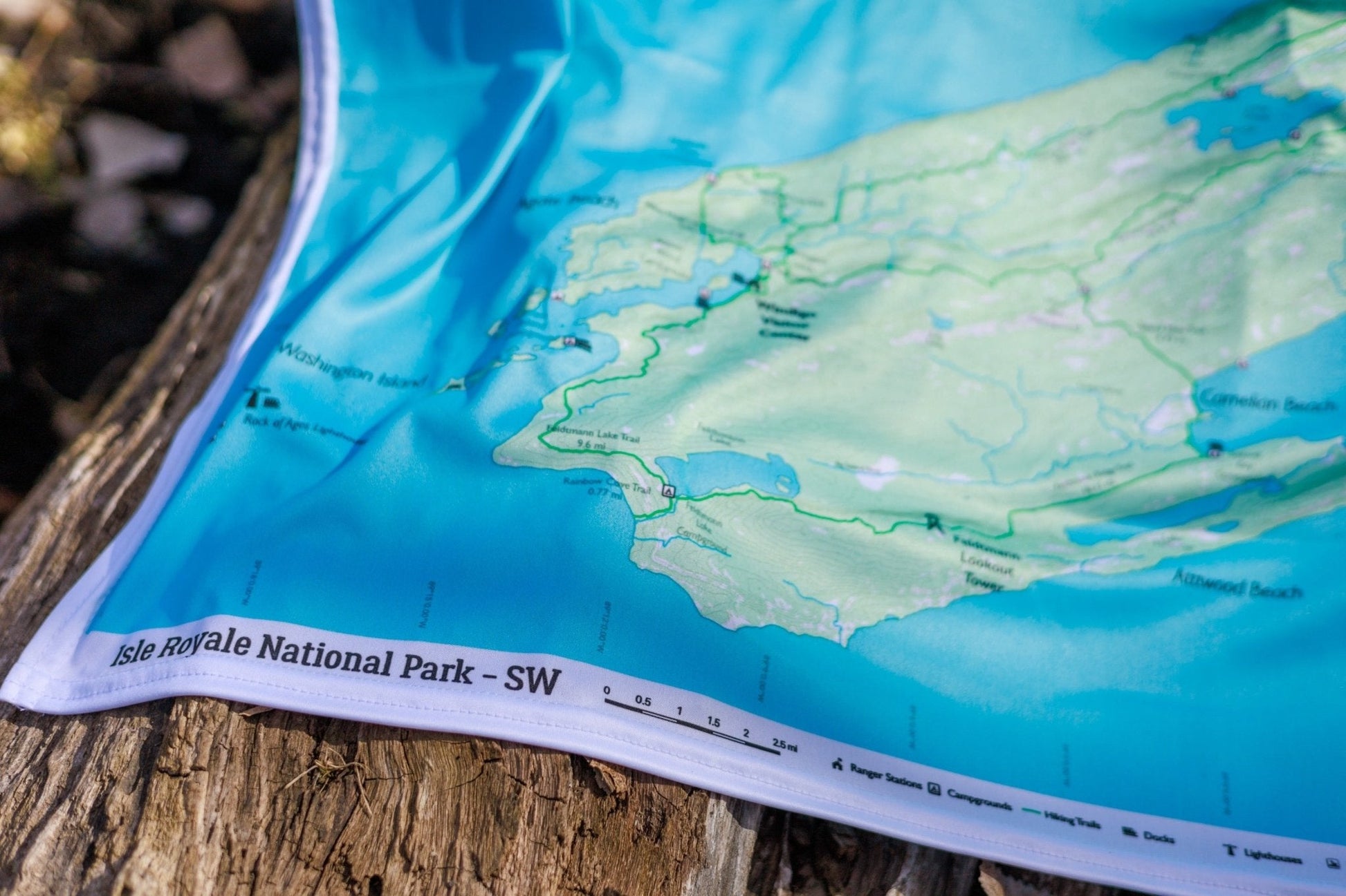
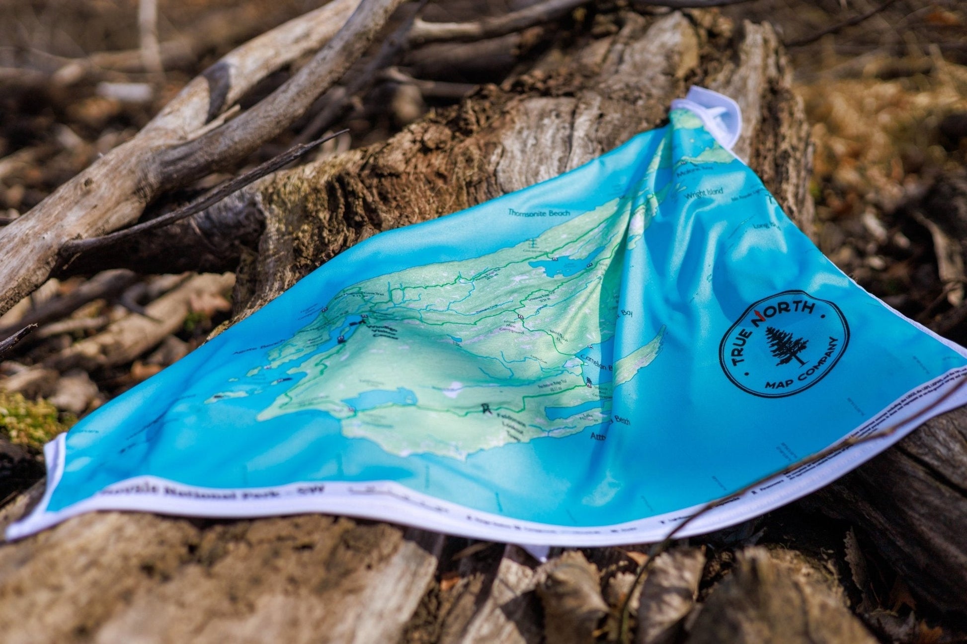
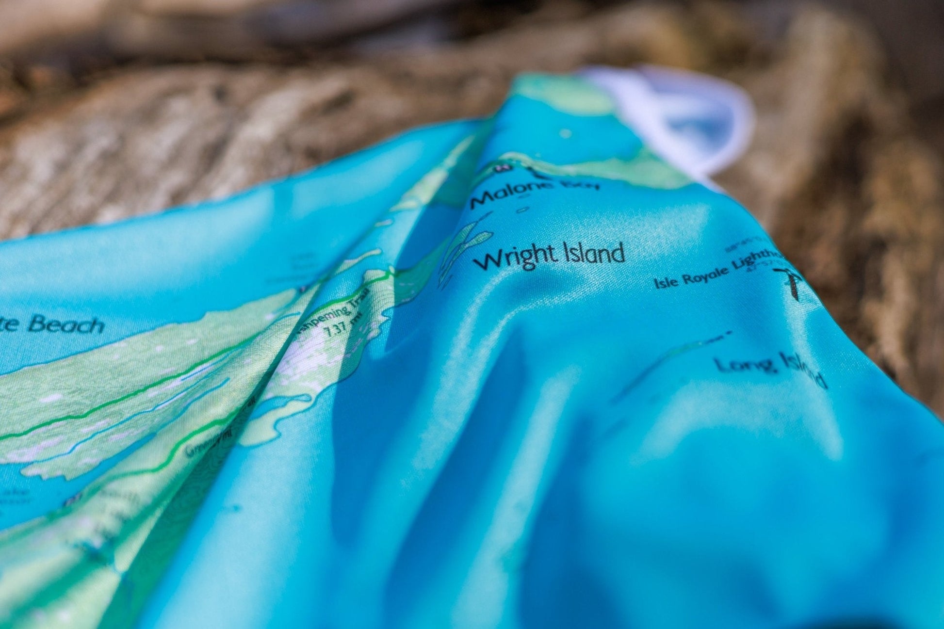
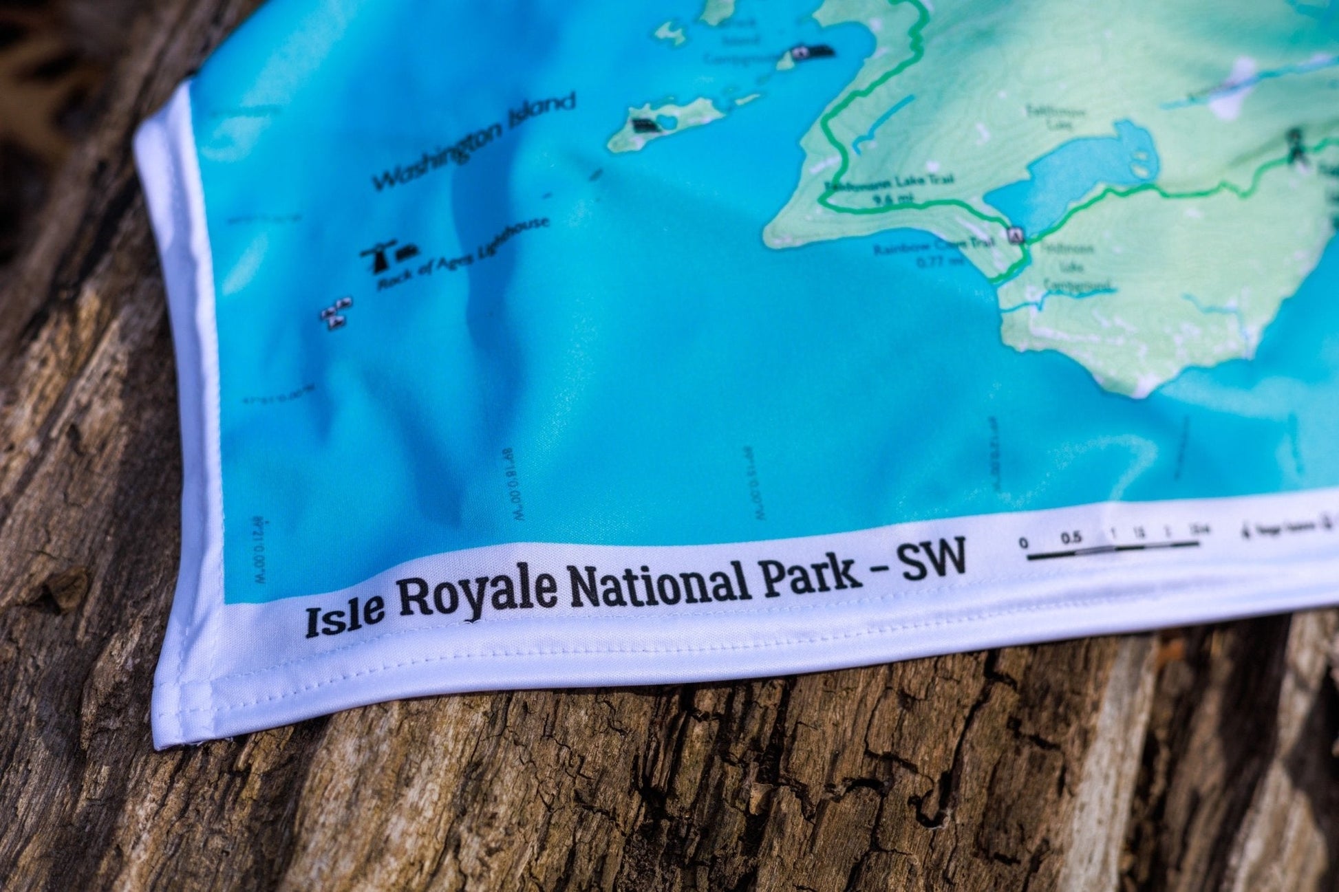
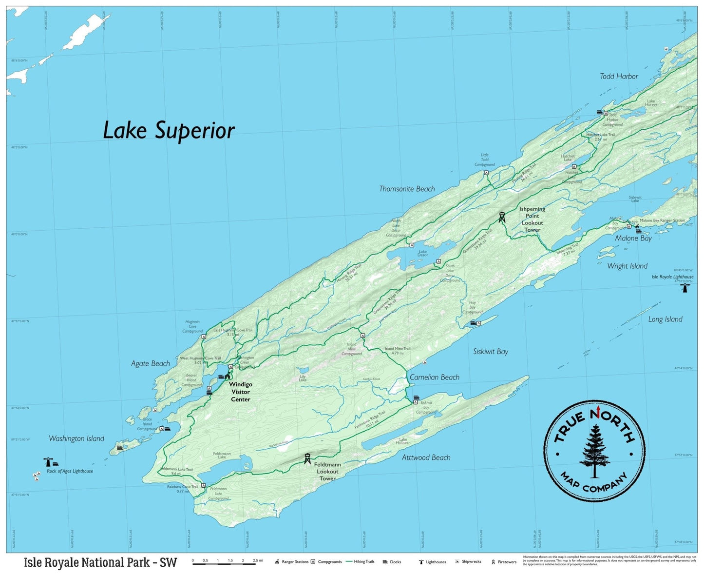
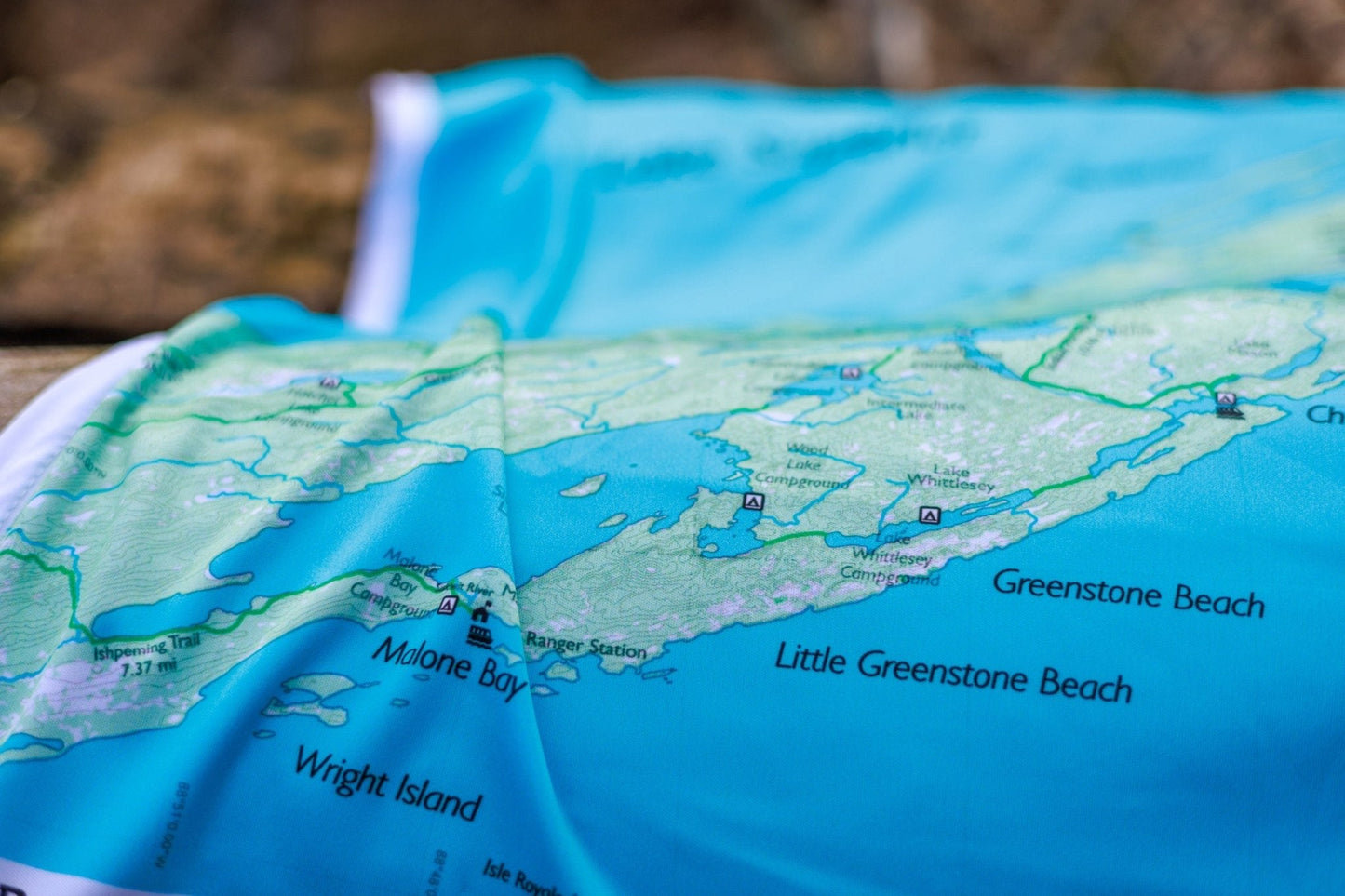
The Southwest map covers Windigo and the western wilderness: Huginnin Cove Loop Trail, Island Mine Trail, Feldtmann Lake, Rainbow Cove, and the Grace Creek Overlook area. The southwest sees significantly fewer visitors — some of the island's best solitude is found here.
From the Field Guide: Why Carry a Physical Map · What to Pack for a Day Hike · How to Read a Topographic Map