Collection: Quetico Canoe Maps
Quetico Provincial Park is a million-acre wilderness of lakes, rivers, and unmarked portages in northwestern Ontario — wilder and quieter than the BWCA, with no designated campsites and no motor routes. True North Quetico Canoe Maps are built for paddlers who are ready for that challenge.
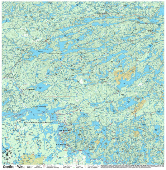
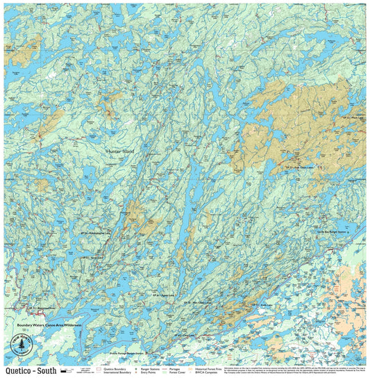
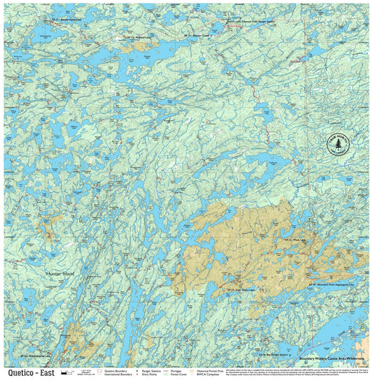
Four maps cover the full park — from the Ely border entries at Basswood Lake and Lac la Croix in the south, to Agnes Lake, Brent Lake, and the remote northern reaches near French Lake. Each map shows water routes, portage locations, lake depths, and the full drainage system to help you navigate without official trail markings.
Note: Quetico maps do not include campsite markers — Ontario Parks does not formally designate campsites in the park. You choose your own site.
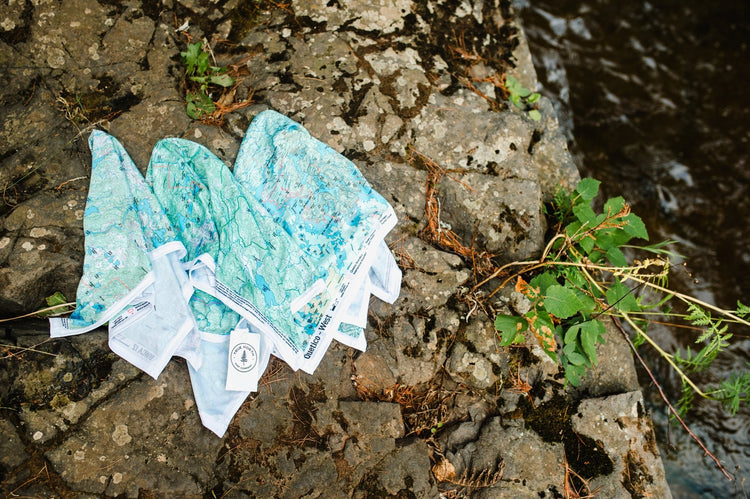
Printed on durable, waterproof cloth that handles a week of rain and daily use without tearing or delaminating. Built for the kind of trip where conditions decide your schedule.
Paddling from the US? See our Quetico — Which Map Do You Need guide for cross-border entry tips.
-
Quetico West Canoe Map – Durable Waterproof Cloth Map
Regular price $25.00Regular price -
Quetico South Canoe Map – Durable Waterproof Cloth Map
Regular price $25.00Regular price -
Quetico East Canoe Map – Durable Waterproof Cloth Map
Regular price $25.00Regular price -
Quetico Complete Canoe Map Set
Regular price $65.00Regular price$75.00Sale price $65.00Sale