♻️Built to Last
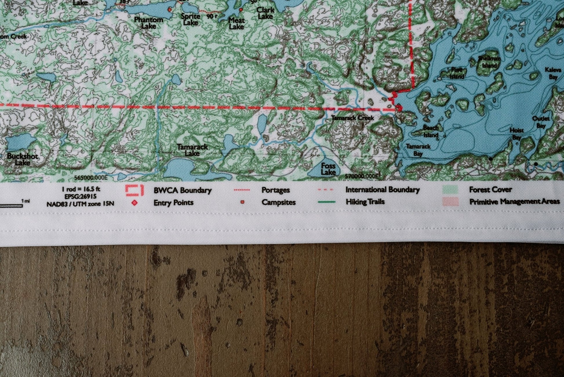
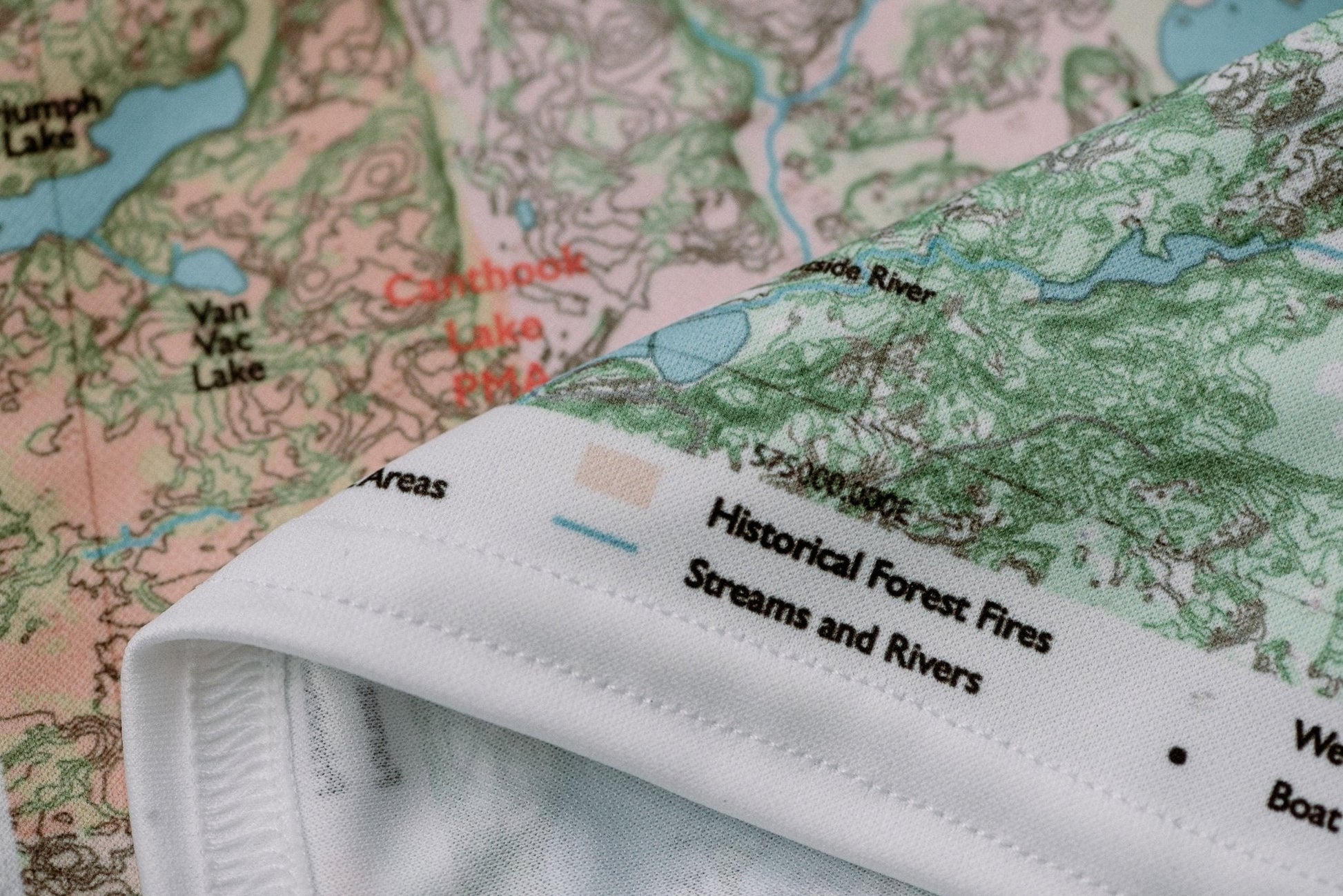
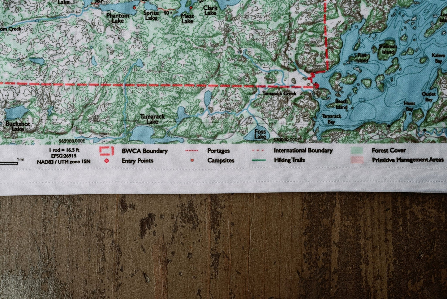
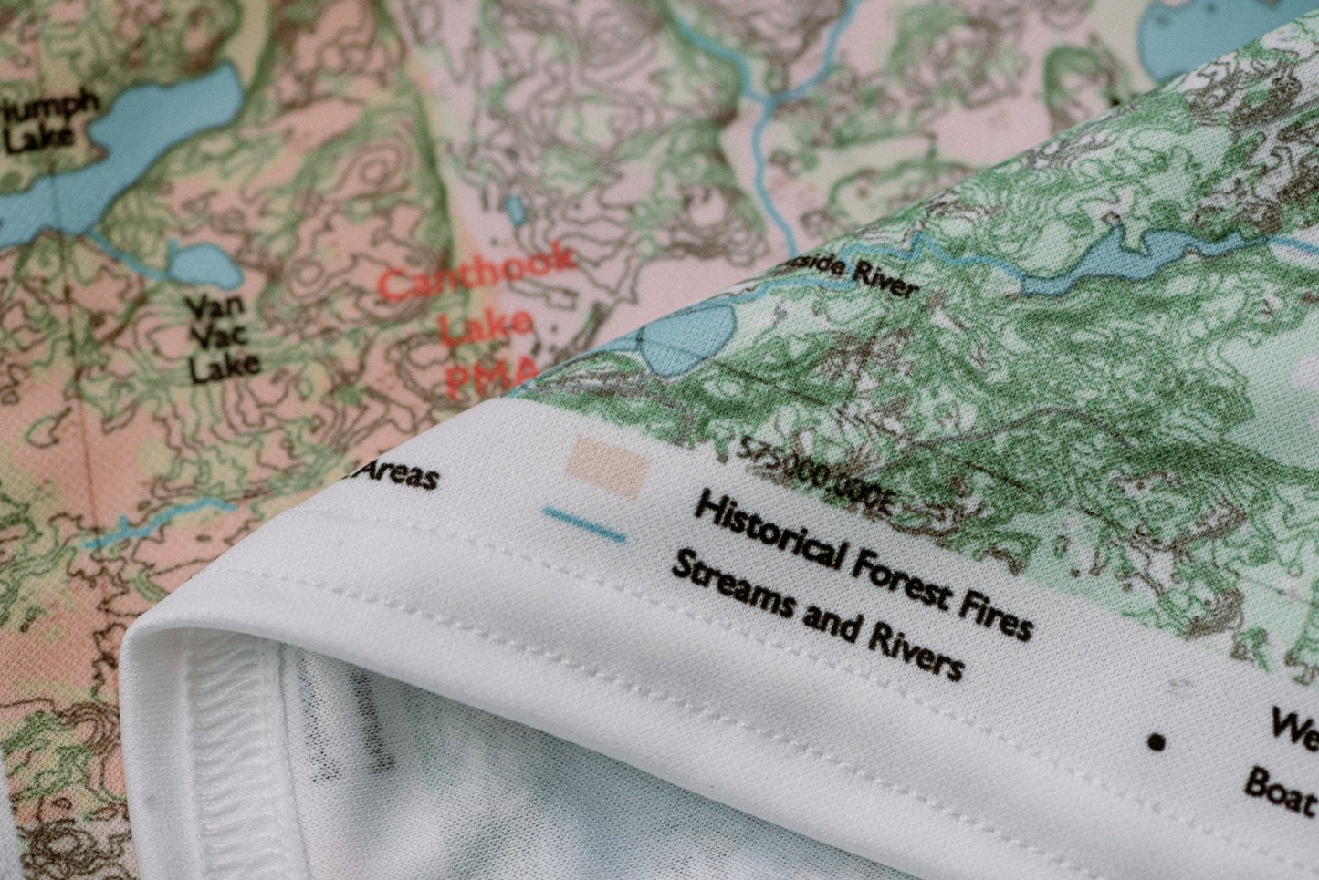
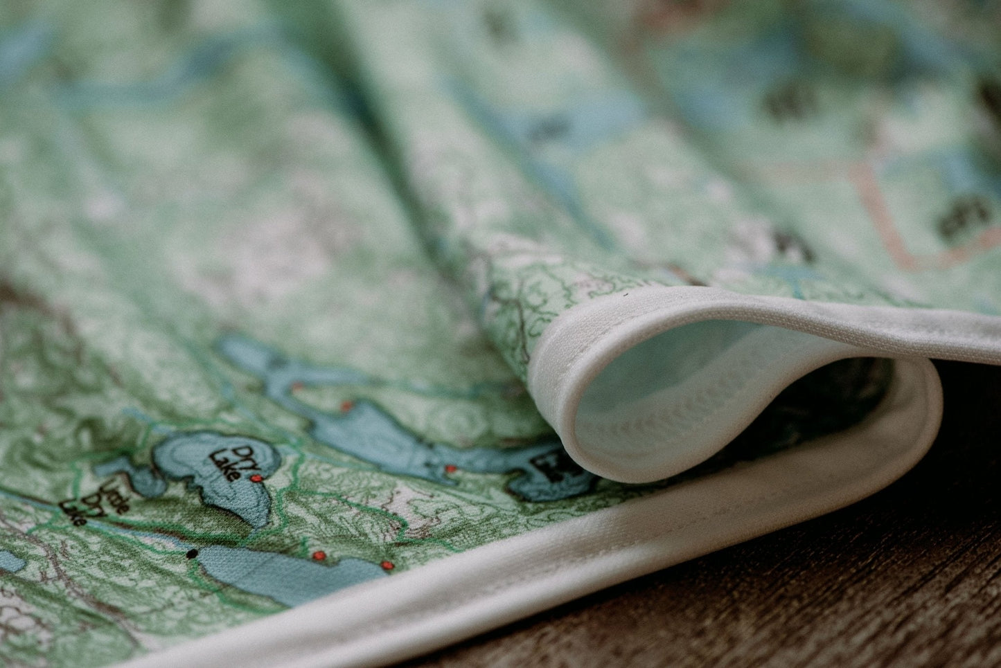
Durable cloth maps designed for years of use, not single trips
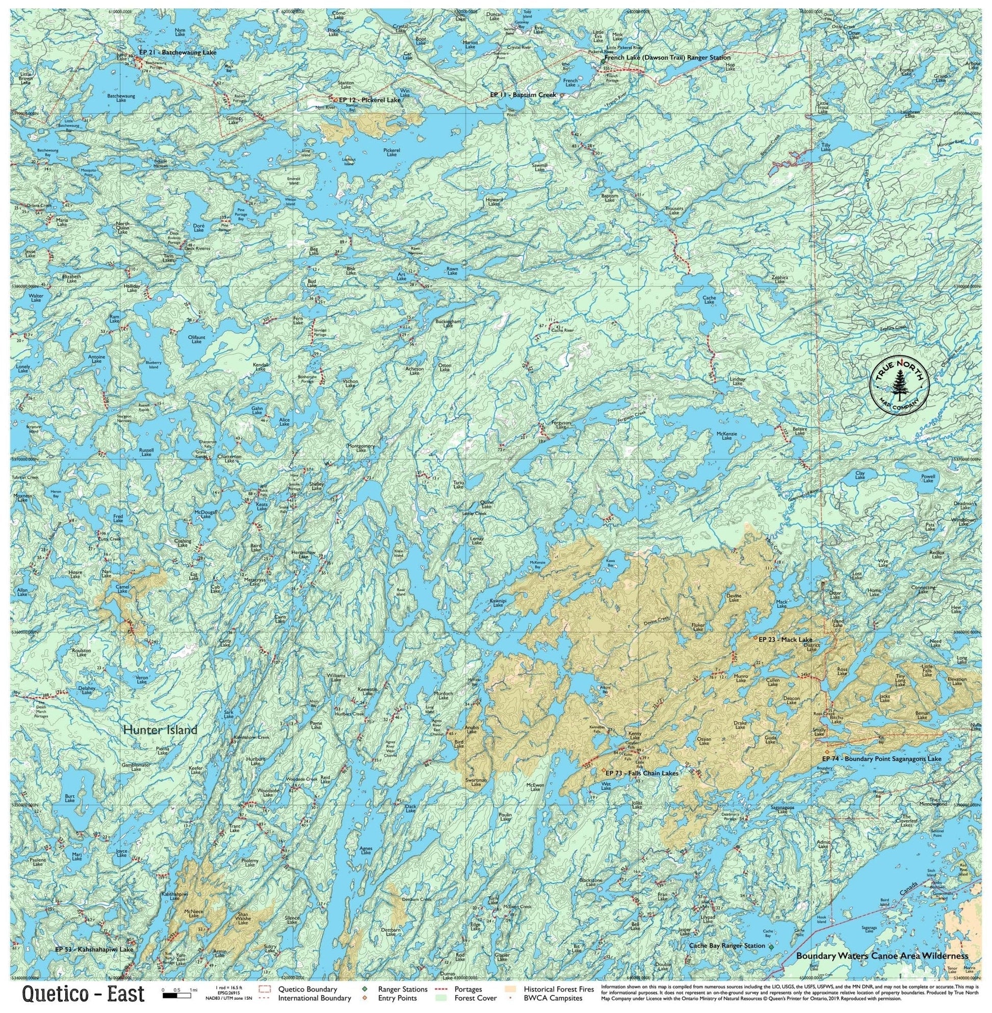
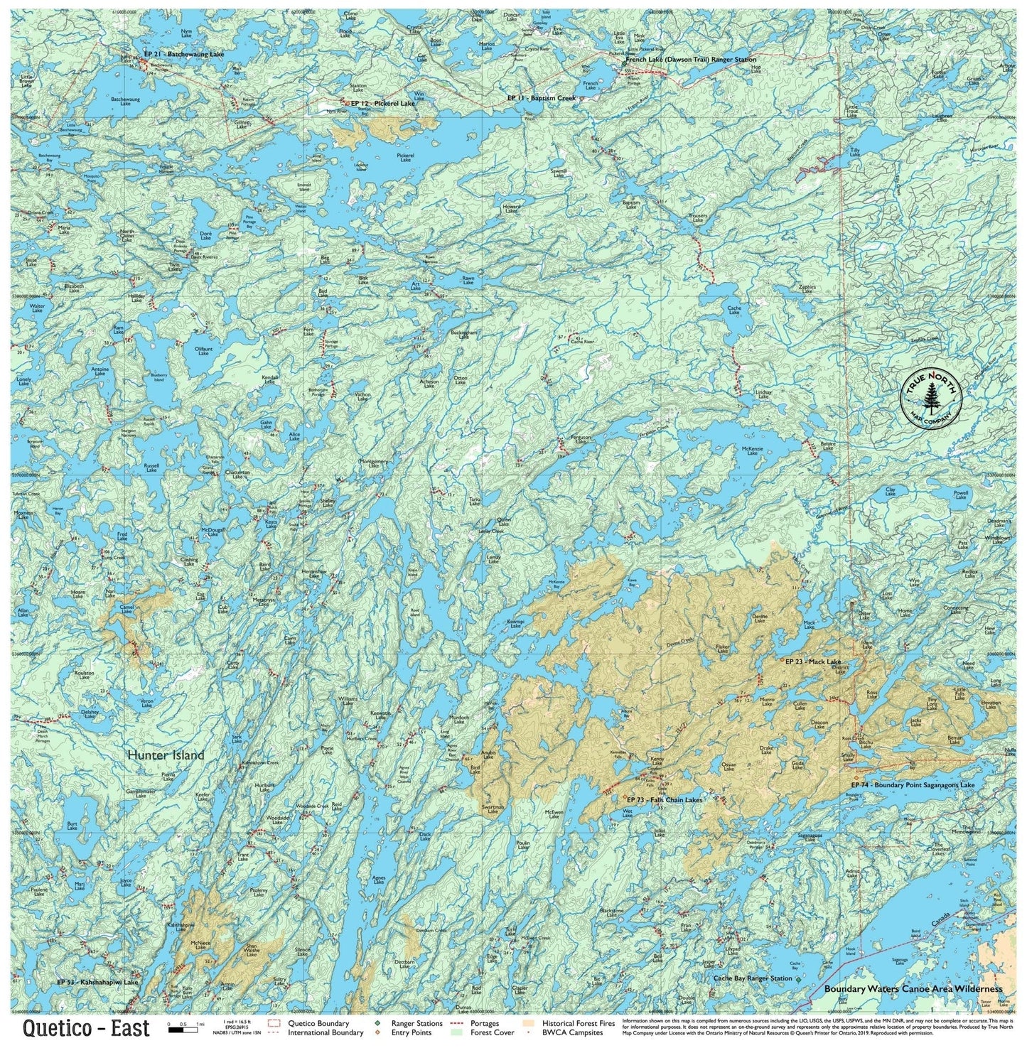
The eastern reaches of Quetico are the least-traveled section of the park, accessed primarily from Atikokan, Ontario via the historic Dawson Trail at French Lake — or from the eastern Gunflint corridor via Saganagons and Batchewaung Lake. The Dawson Trail, a 19th-century overland route, still defines this region's character: old-growth portages, uncrowded lakes, and the kind of remoteness that most cross-border paddlers never find. If you want Quetico without the crowds, the East map is where to look.
Note: True North Quetico Maps do not include campsite data. Ontario Parks does not formally designate campsites in Quetico Provincial Park — you choose your own site. See FAQ for details.
Ranger Stations on this map: French Lake (Dawson Trail) · Cache Bay
True North Map Co. is an independent map publisher and is not affiliated with, endorsed by, or sponsored by the National Park Service, U.S. Forest Service, U.S. Fish & Wildlife Service, Bureau of Land Management, the U.S. Department of the Interior, or any other government agency. Place and park names are used for identification purposes only.