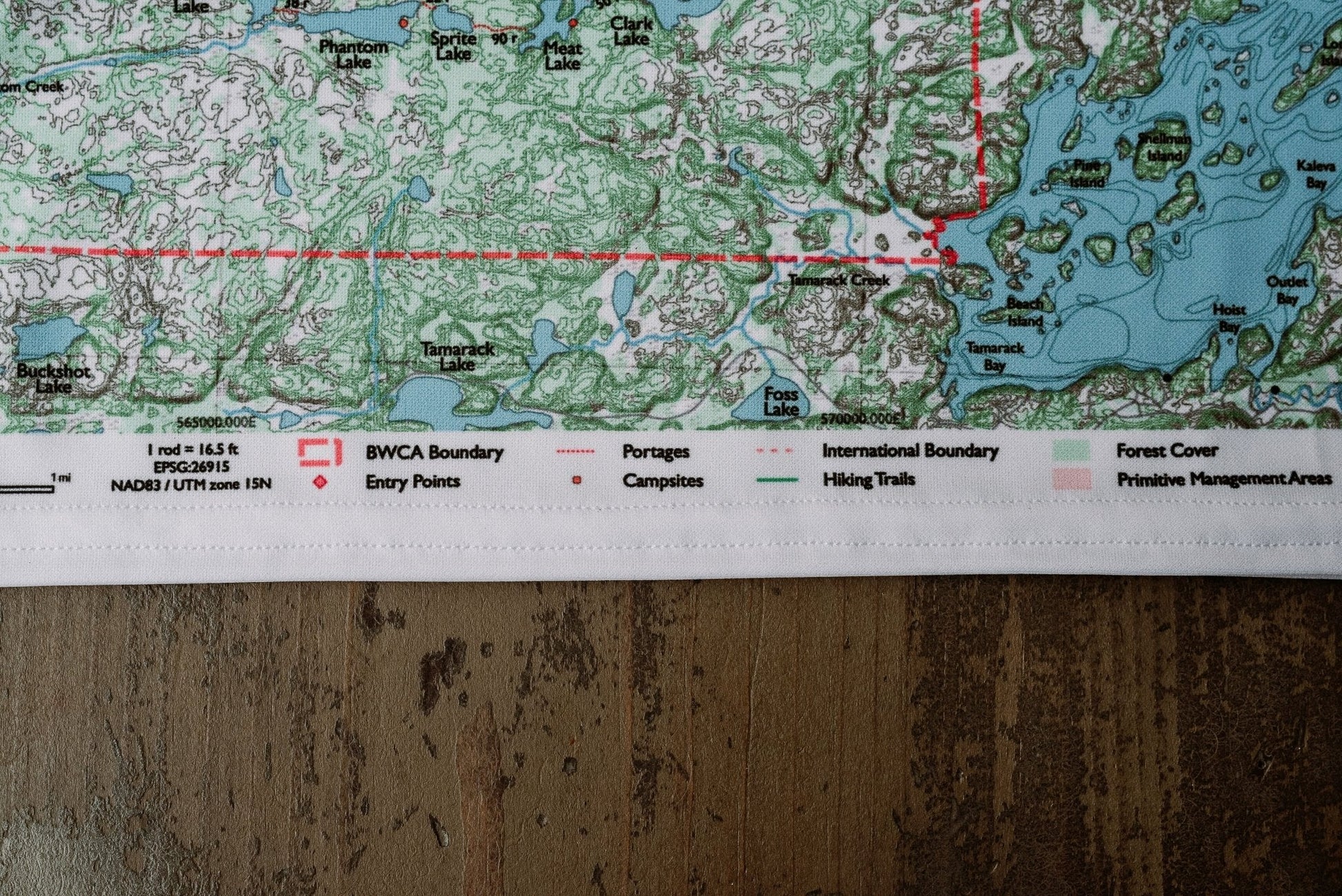
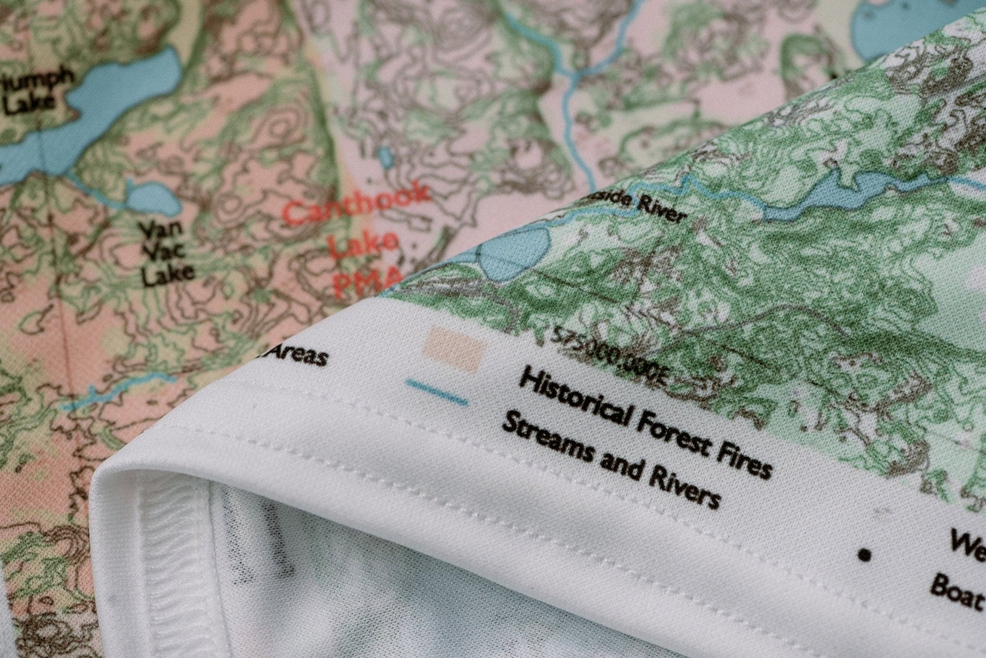
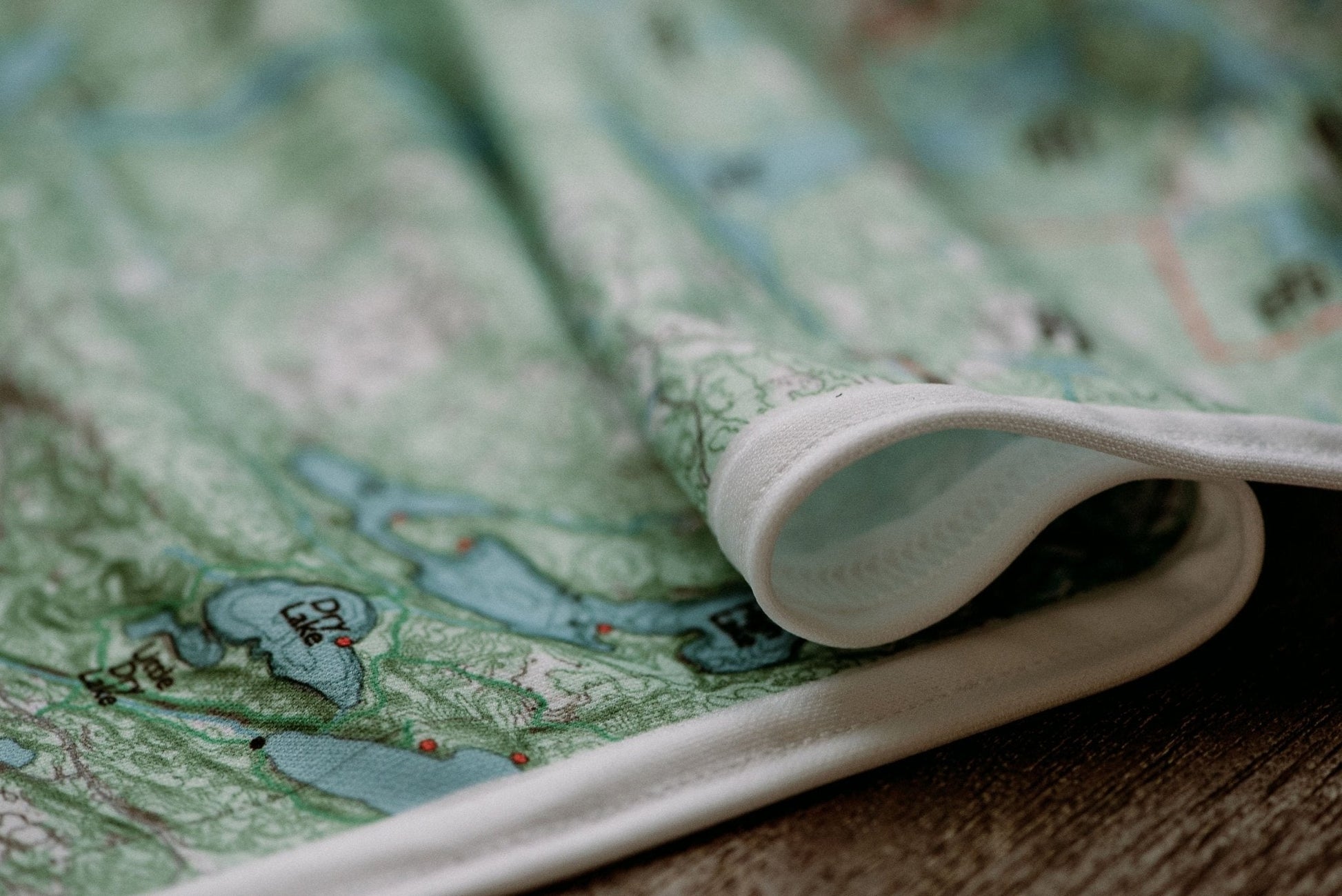
♻️Built to Last
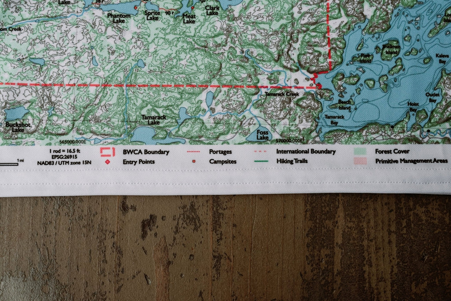
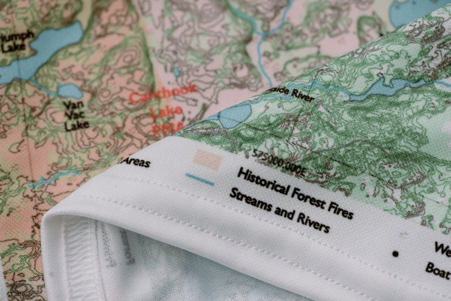
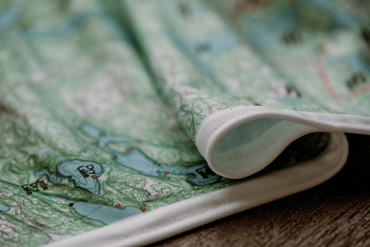
Durable cloth maps designed for years of use, not single trips
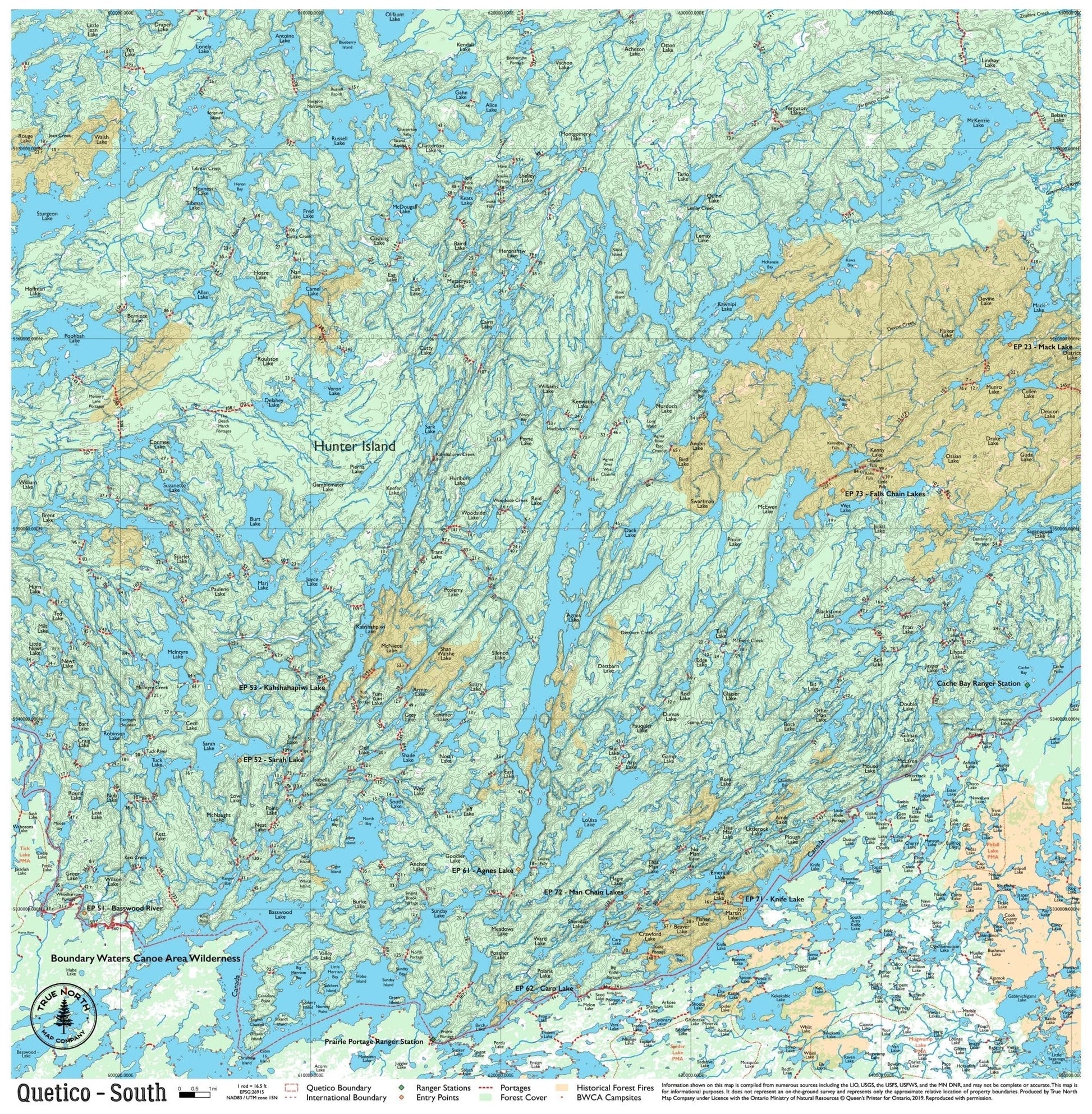
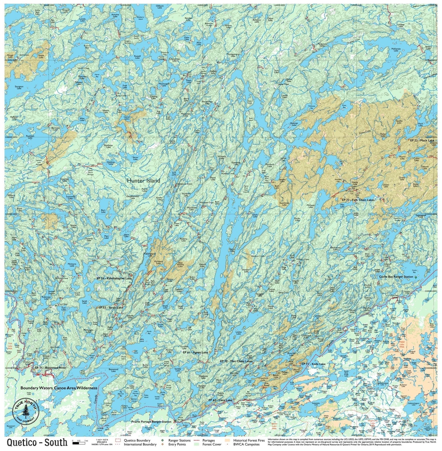
The southern Quetico corridor is the busiest cross-border zone in the park — and for good reason. Agnes Lake, Basswood Lake, and the Cache Bay / Prairie Portage crossing form the classic gateway for paddlers coming north from the BWCA. From here, Kawnipi Lake opens up to the north: a massive lake with dramatic clifftop camping and a genuinely remote feel within just a day or two of the border. If this is your first Quetico trip, you're likely starting here.
Note: True North Quetico Maps do not include campsite data. Ontario Parks does not formally designate campsites in Quetico Provincial Park — you choose your own site. See FAQ for details.
Ranger Stations on this map: Cache Bay · Prairie Portage
True North Map Co. is an independent map publisher and is not affiliated with, endorsed by, or sponsored by the National Park Service, U.S. Forest Service, U.S. Fish & Wildlife Service, Bureau of Land Management, the U.S. Department of the Interior, or any other government agency. Place and park names are used for identification purposes only.