True North Map Co
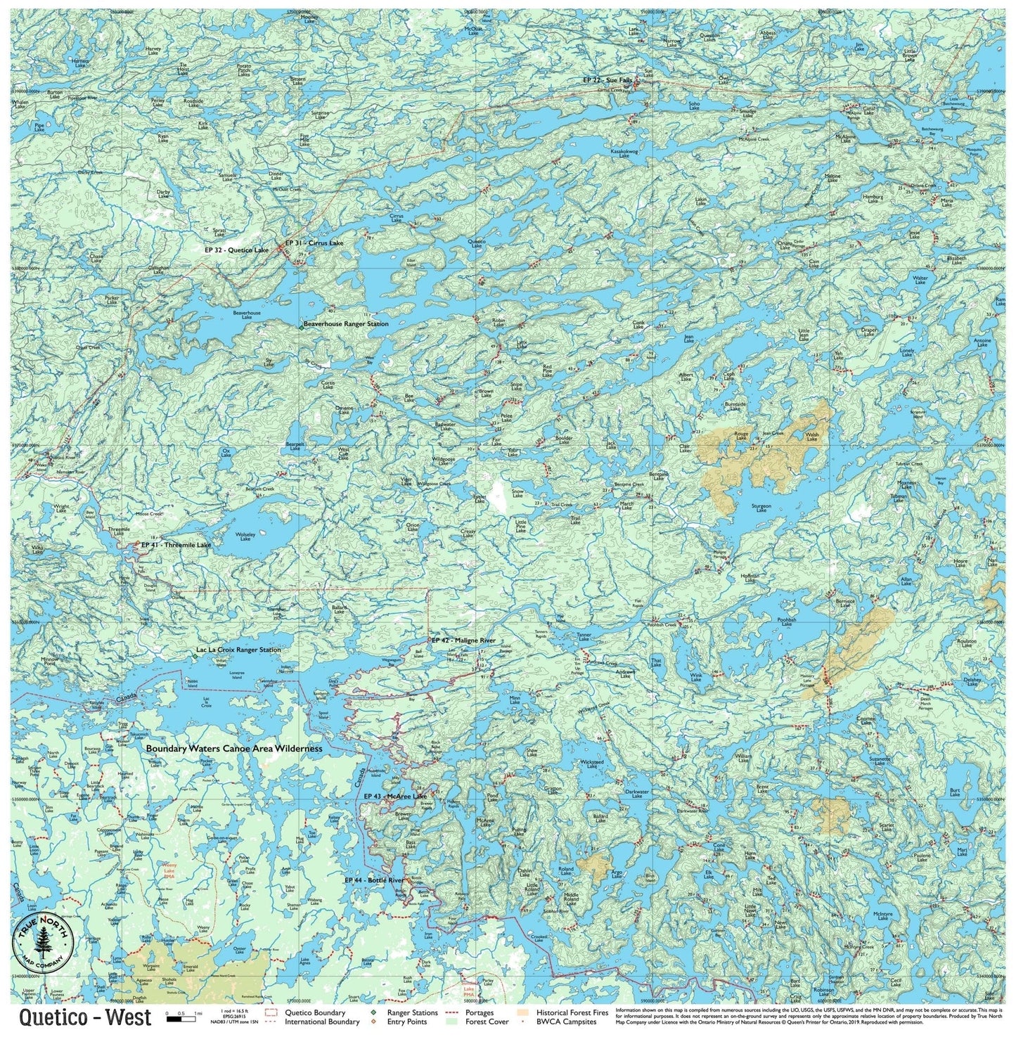
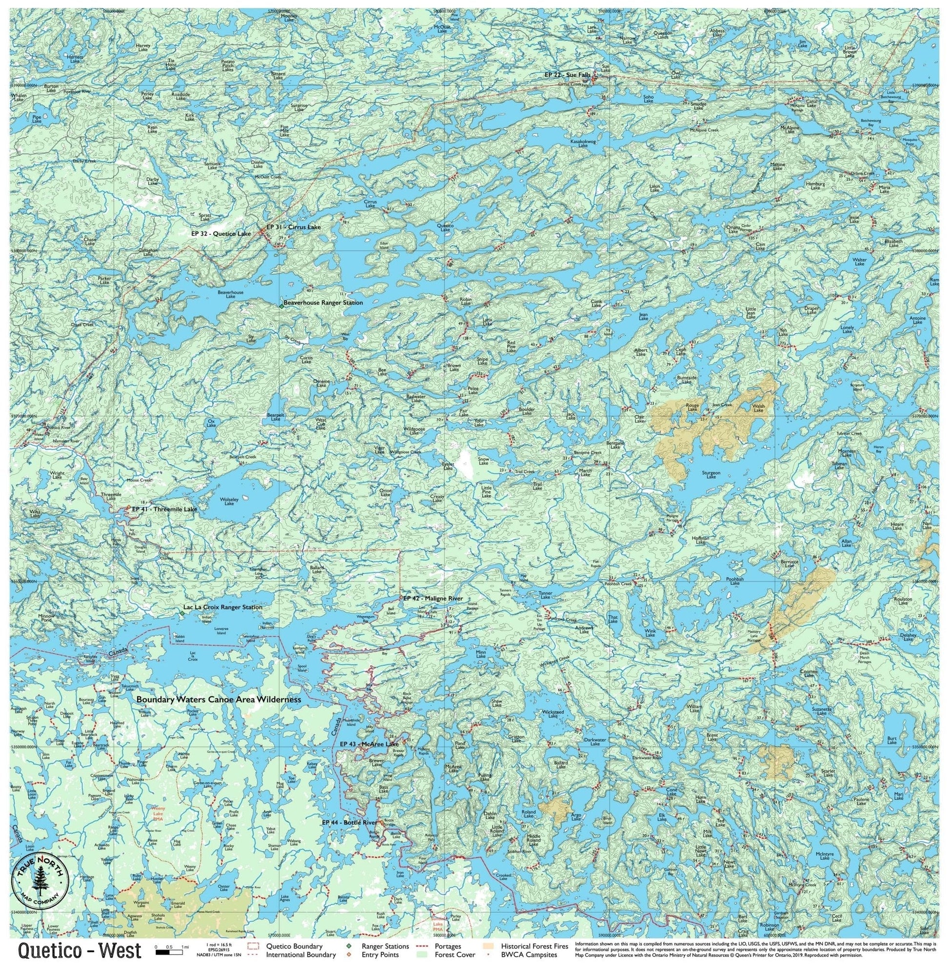
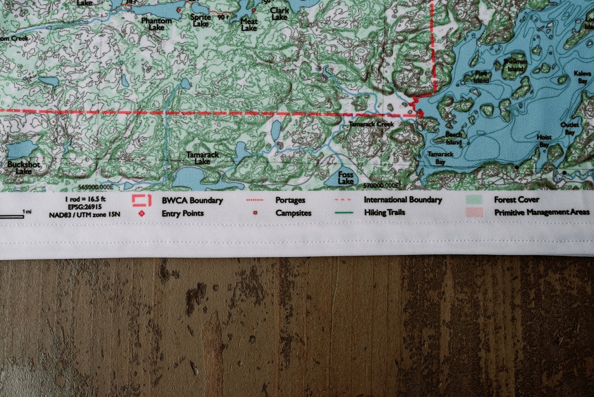
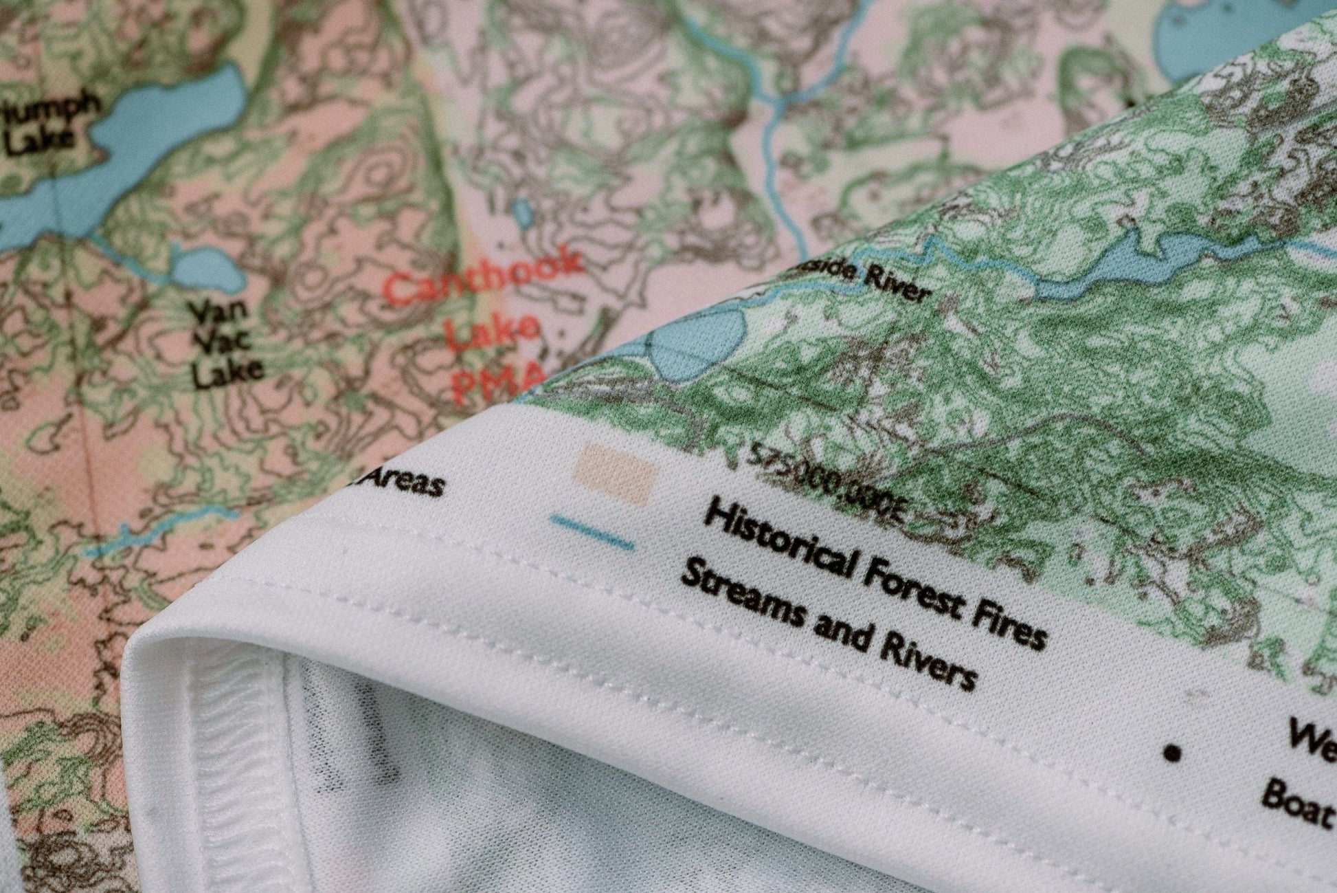
Quetico West Canoe Map – Durable Cloth Map
Quetico West Canoe Map – Durable Cloth Map
Where this map sits
Where this map sits


Turn your phone sideways for a bigger map. Swipe sideways to see the whole map. Tap a map next door to see it.
Entry points on this map:
- EP 22 Sue Falls
- EP 31 Cirrus Lake
- EP 32 Quetico Lake
- EP 41 Threemile Lake
- EP 42 Maligne River
- EP 43 McAree Lake
- EP 44 Bottle River
Maps next door:
- SouthQuetico South Canoe Map$25 · In stock
- EastQuetico East Canoe Map$25 · In stock
Part of the Quetico Complete Canoe Map Set: all 3 maps, $65 (save $10)
Couldn't load pickup availability
The central-western interior of Quetico is anchored by the lake the park is named for — Quetico Lake — and the Beaverhouse corridor that runs through Ontario's wild heart. This is quieter Quetico: fewer cross-border paddlers than the south, more open water, and the kind of trip where you might go two days without seeing another canoe. Entry is typically through the Quetico Lake chain (EP 32) or the Maligne River watershed (EPs 41–44).
Note: True North Quetico Maps do not include campsite data. Ontario Parks does not formally designate campsites in Quetico Provincial Park — you choose your own site. See FAQ for details.
Ranger Stations on this map: Beaverhouse · Lac La Croix
Entry Points: EP 22 – Sue Falls EP 31 – Cirrus Lake EP 32 – Quetico Lake EP 41 – Threemile Lake EP 42 – Maligne River EP 43 – McAree Lake EP 44 – Bottle River
▼ Lakes on this map
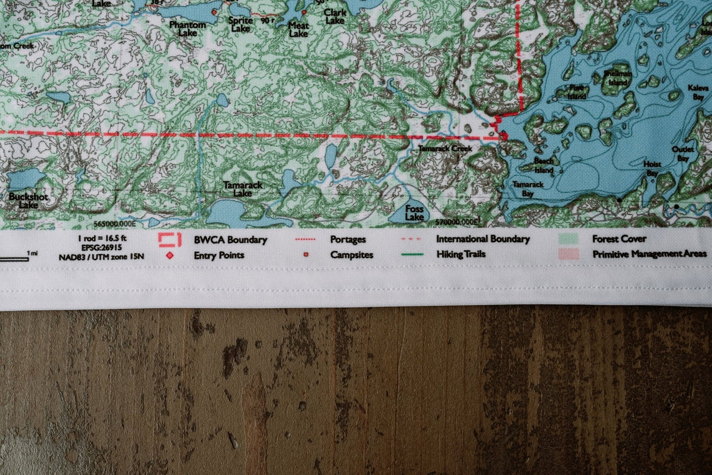
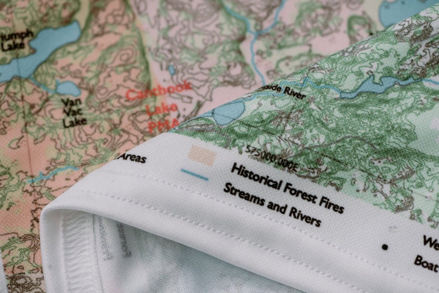
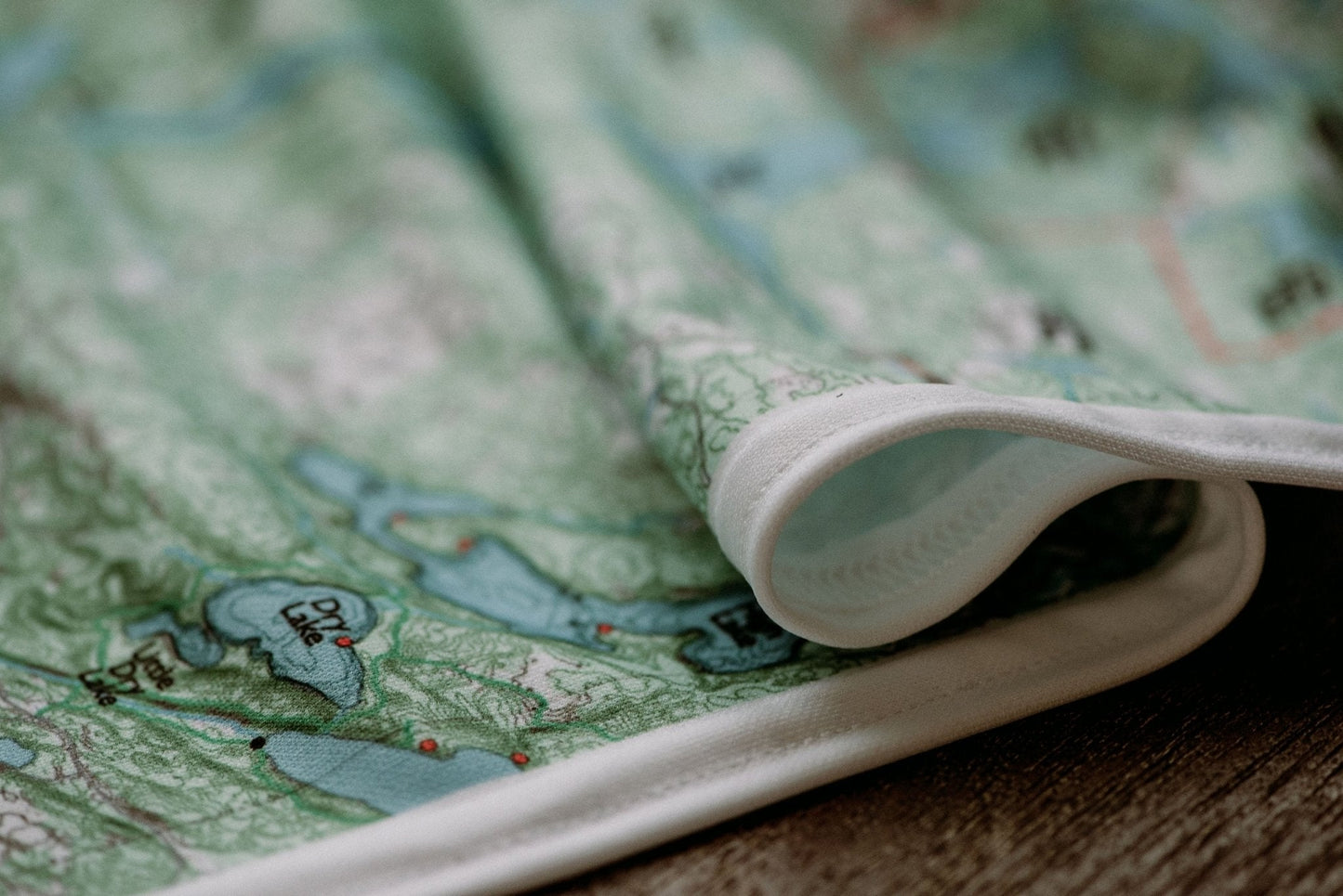
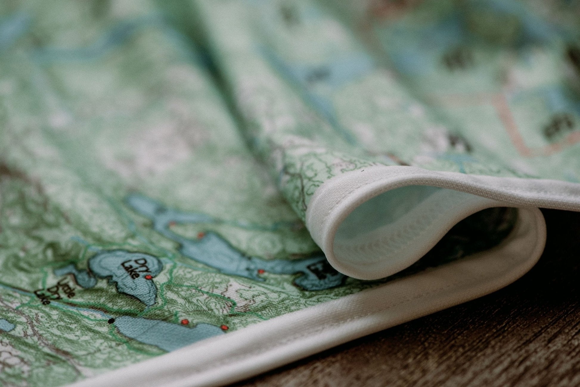
Hanging: Corner button holes let you lash the map to a pack or thwart, or hang it on a wall.
From the Field Guide: What Makes a Good Canoe Country Map · Navigating Portages · Loop vs. Basecamp Routes
Spot something wrong on this map? Let us know →