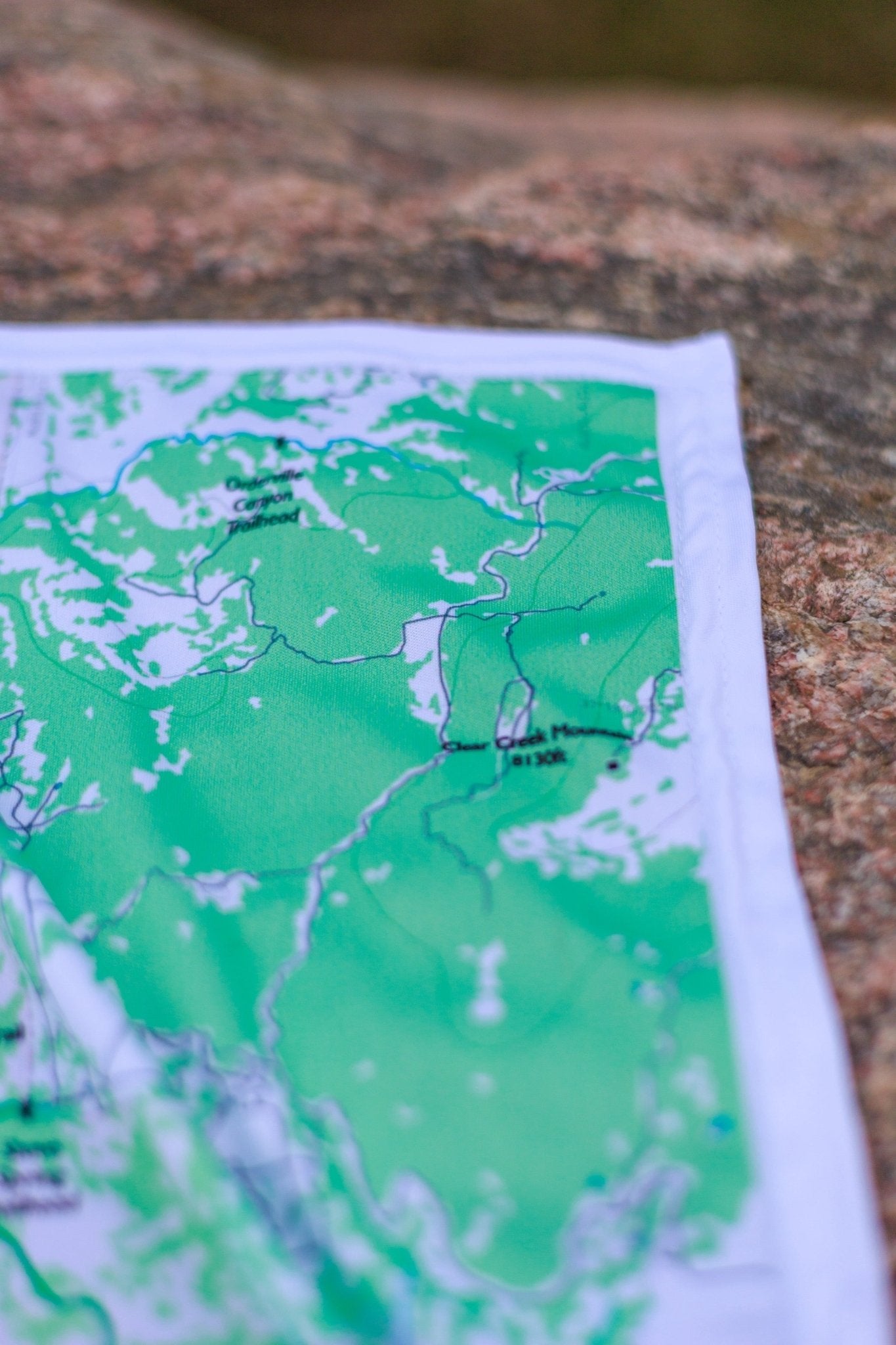
♻️Built to Last
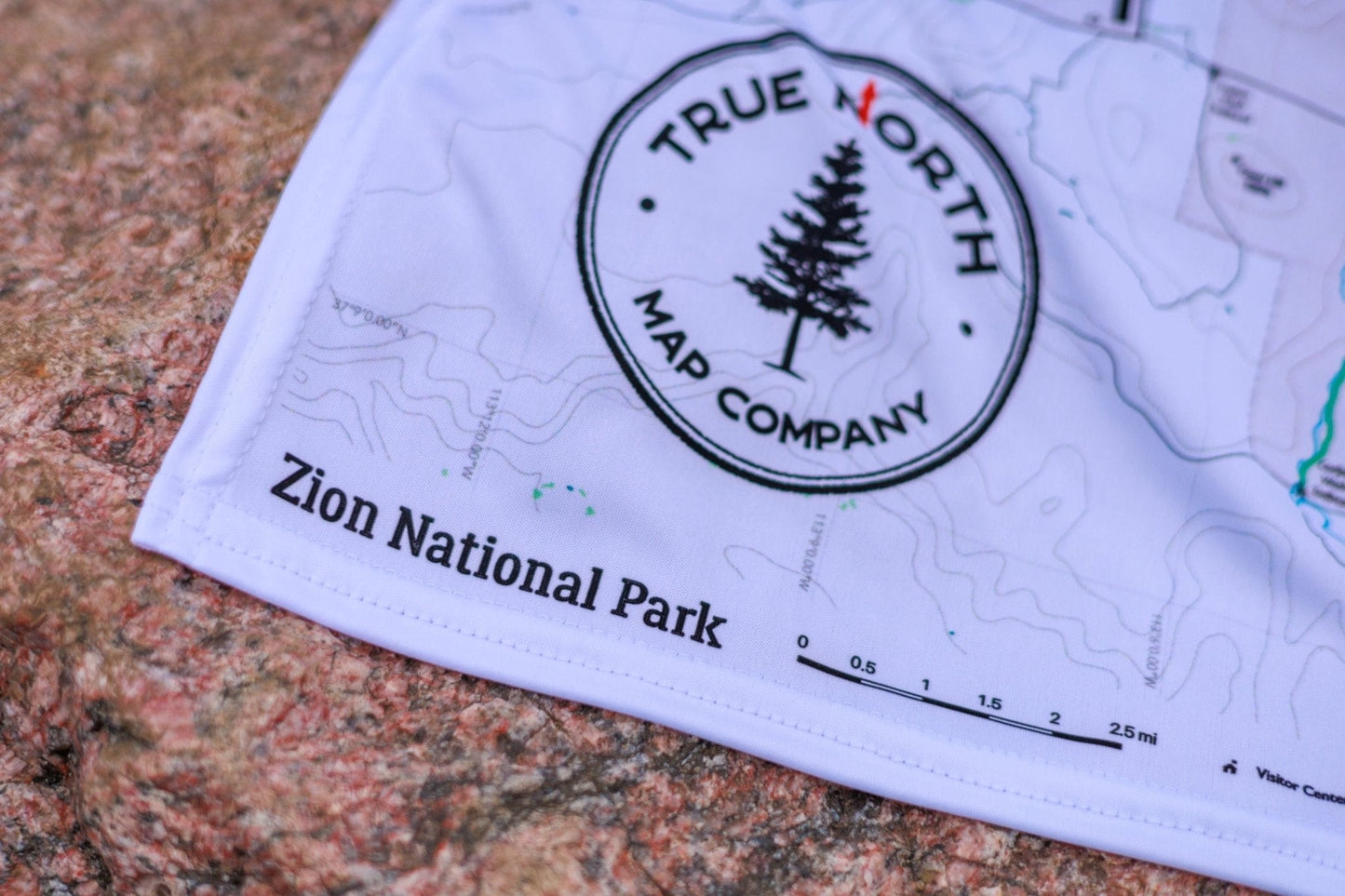
Durable cloth maps designed for years of use, not single trips
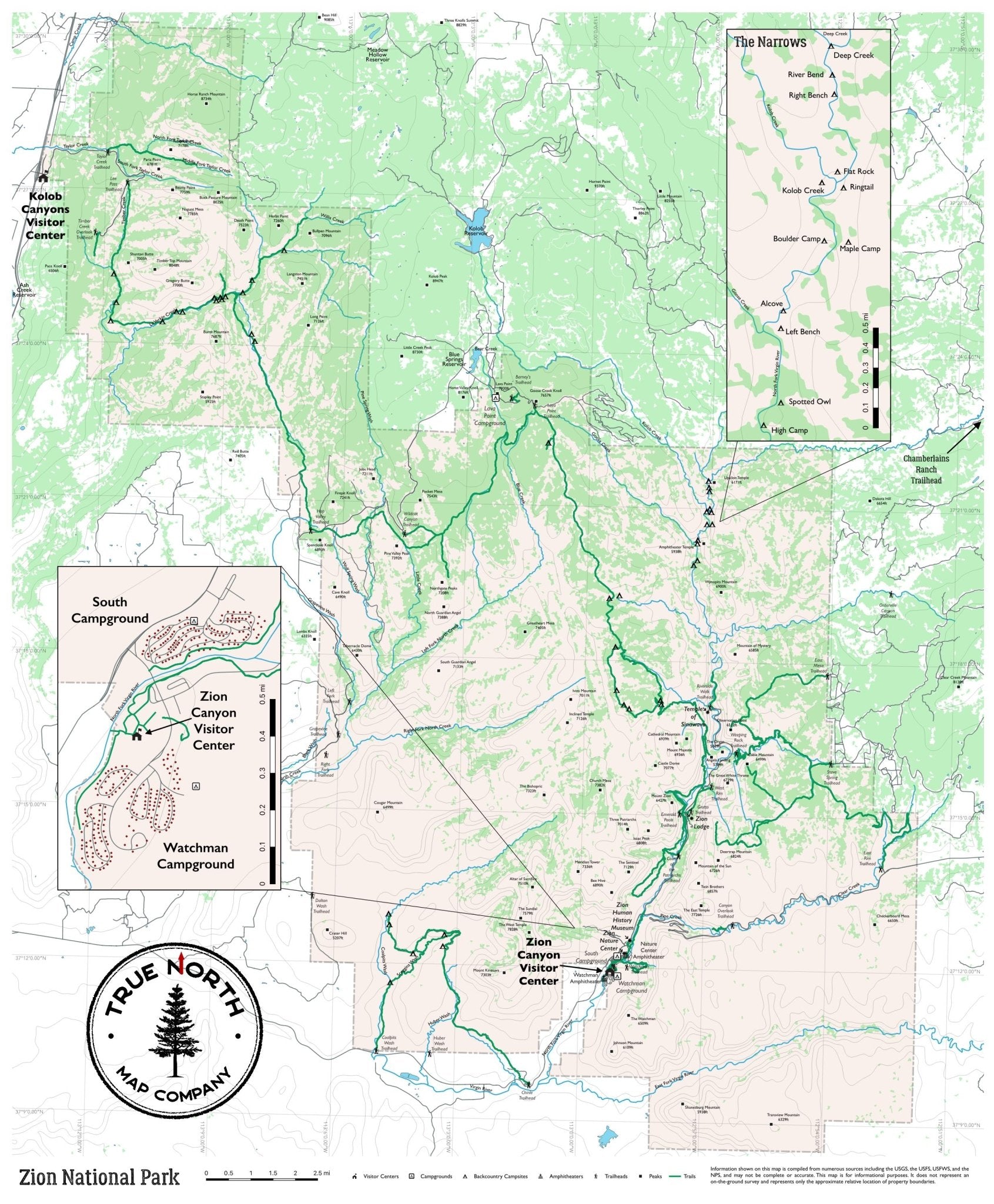
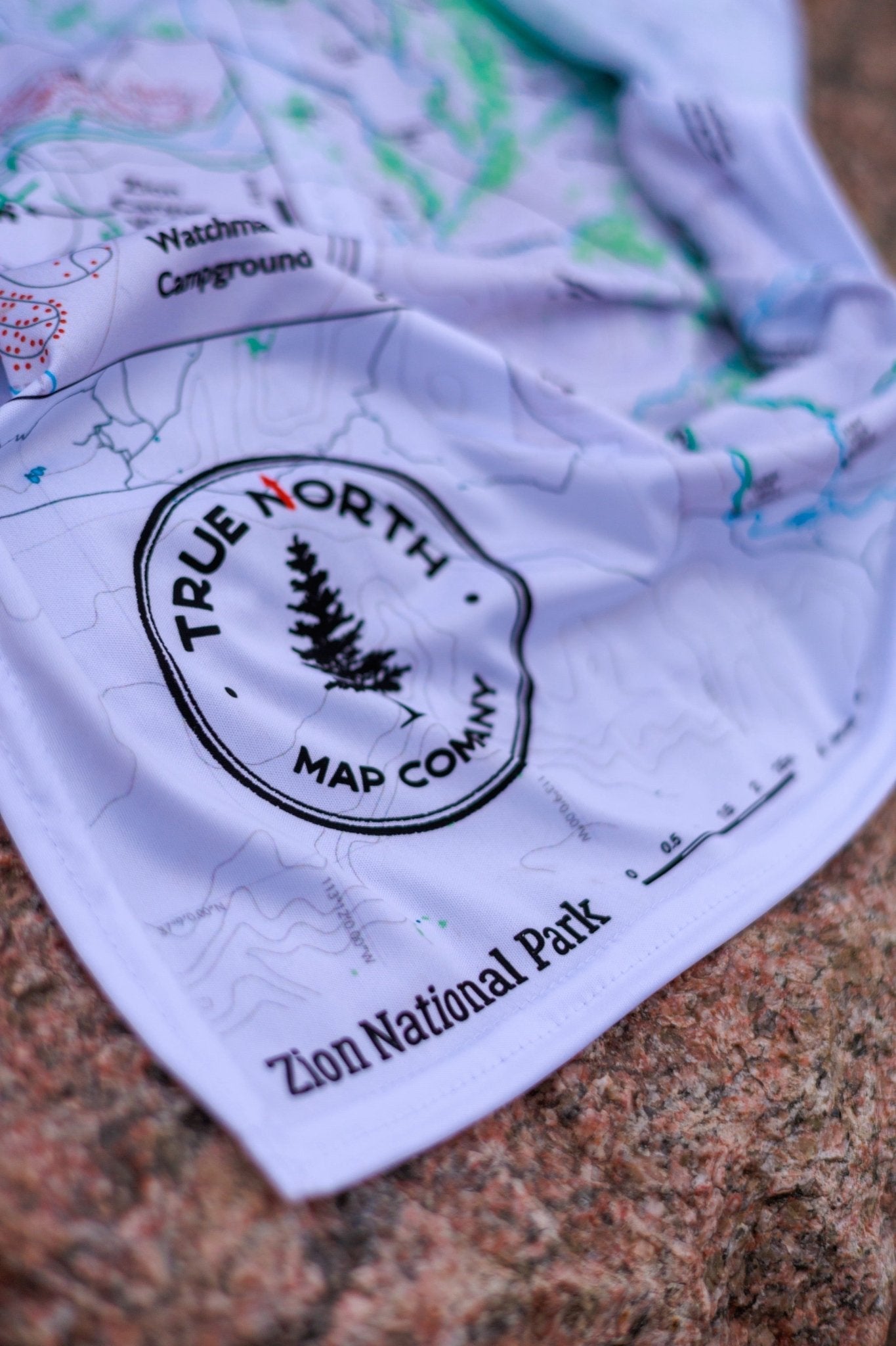
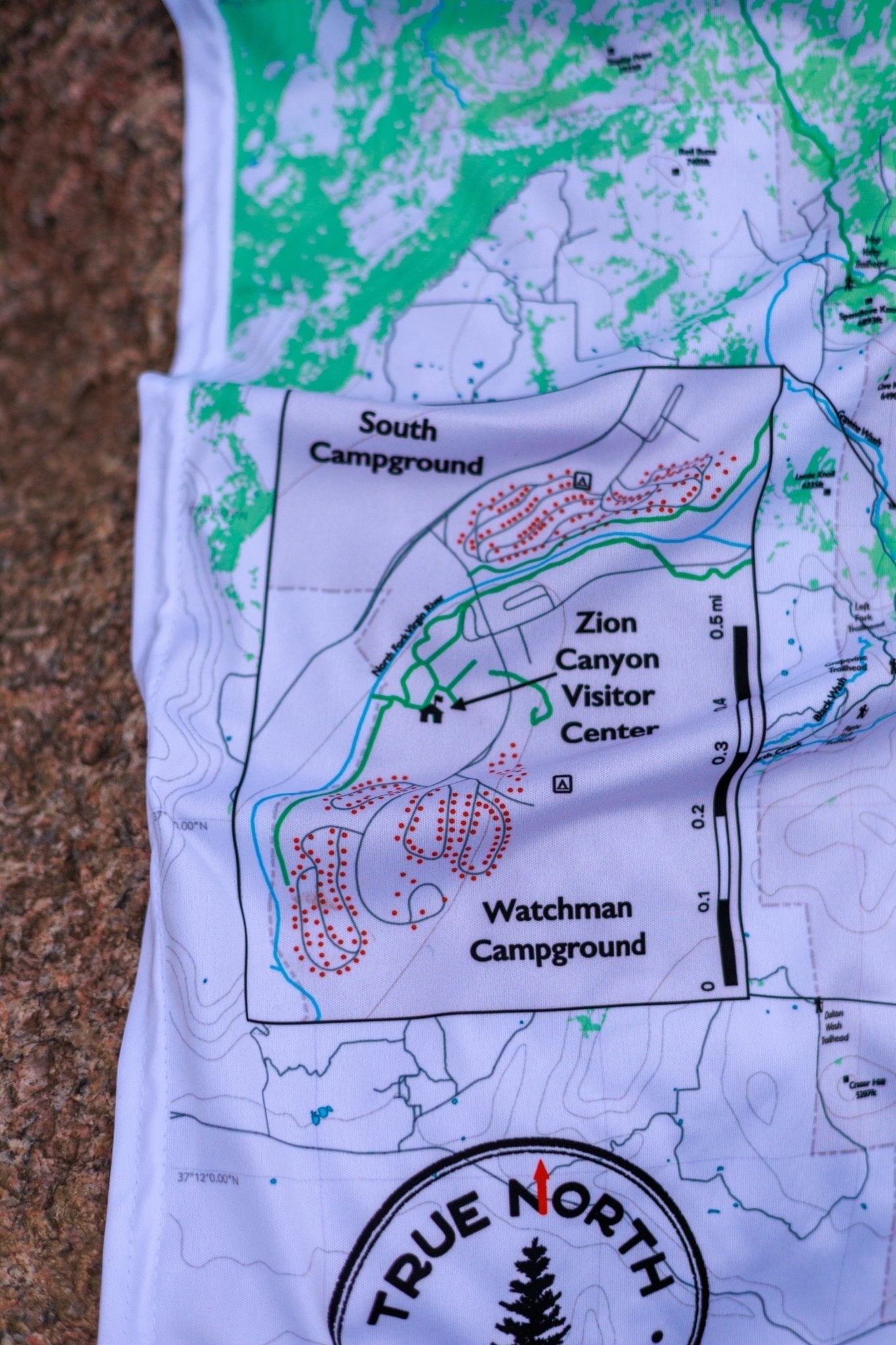
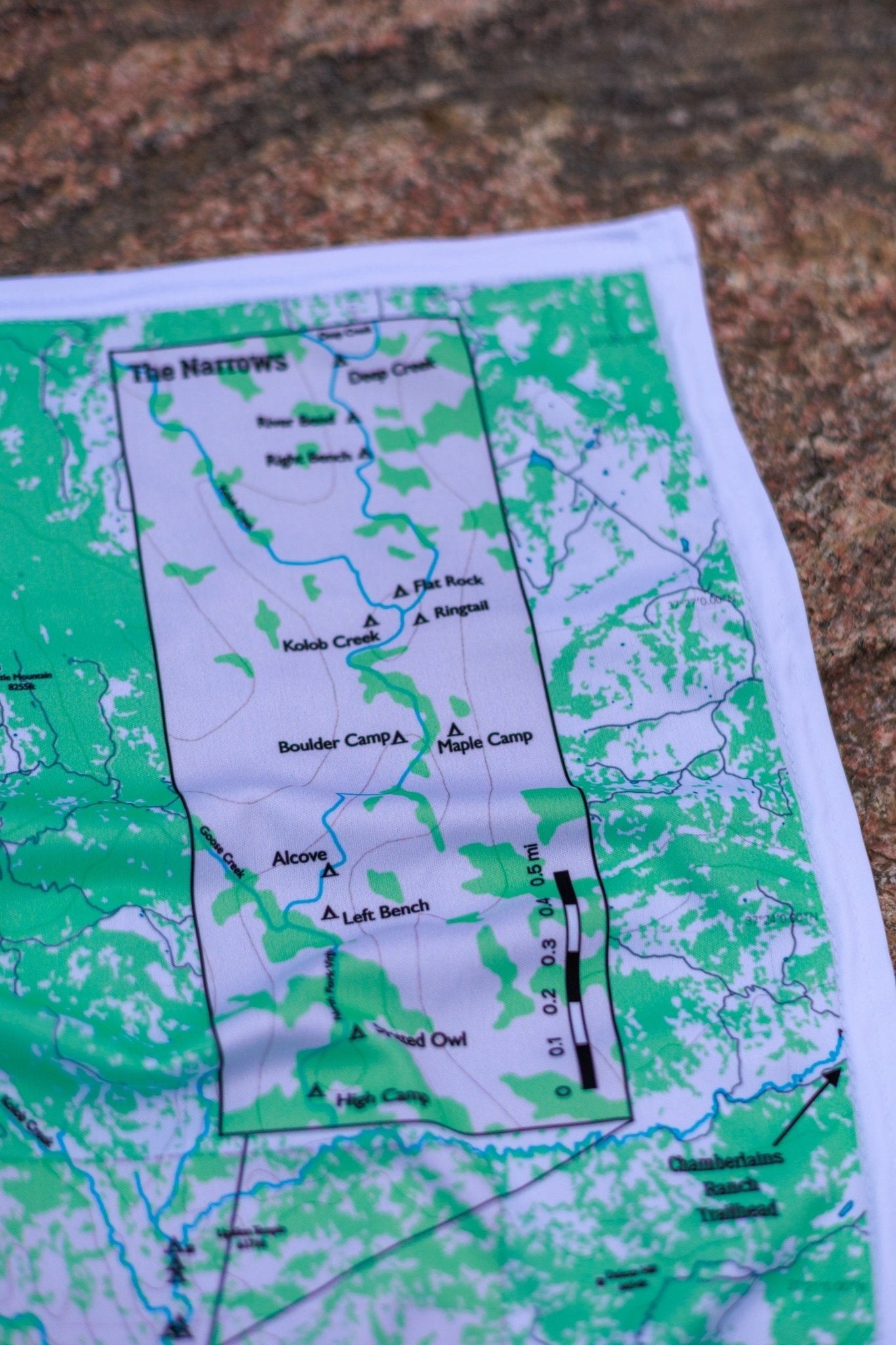
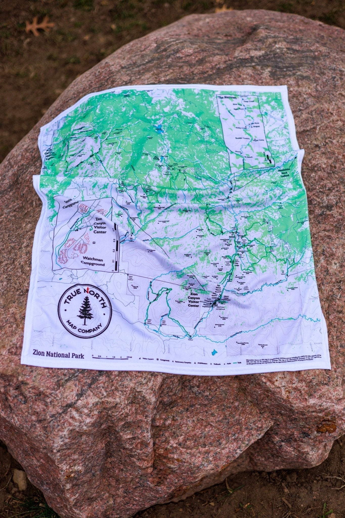
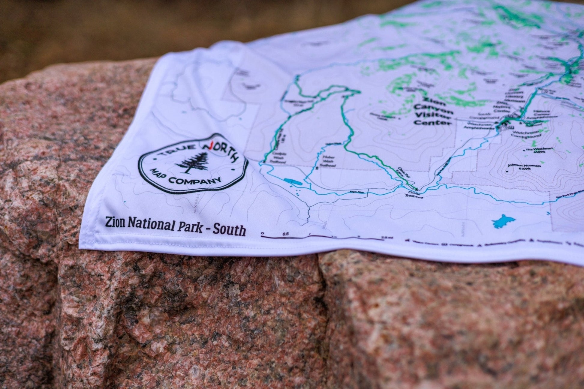
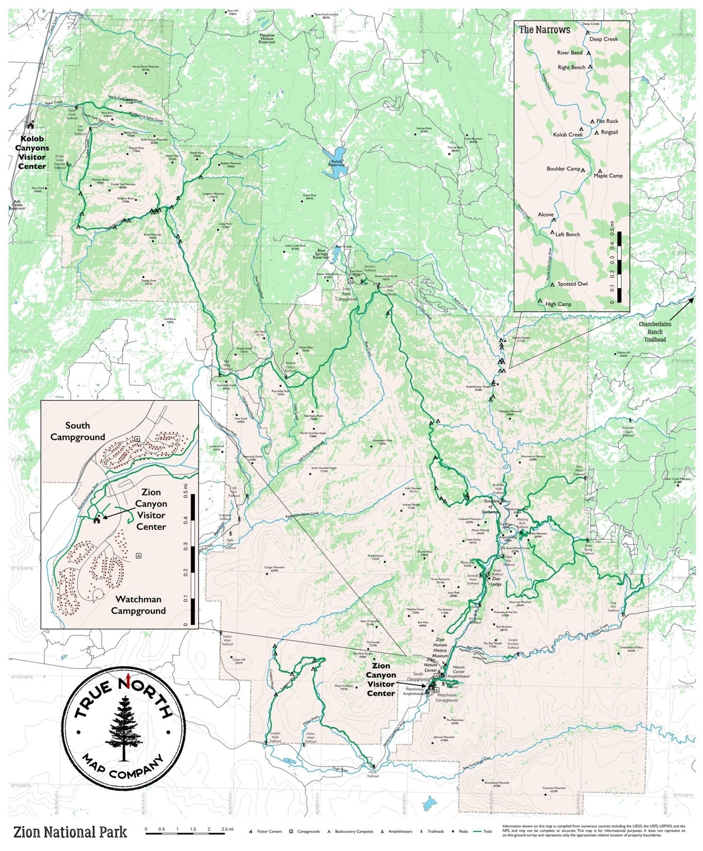
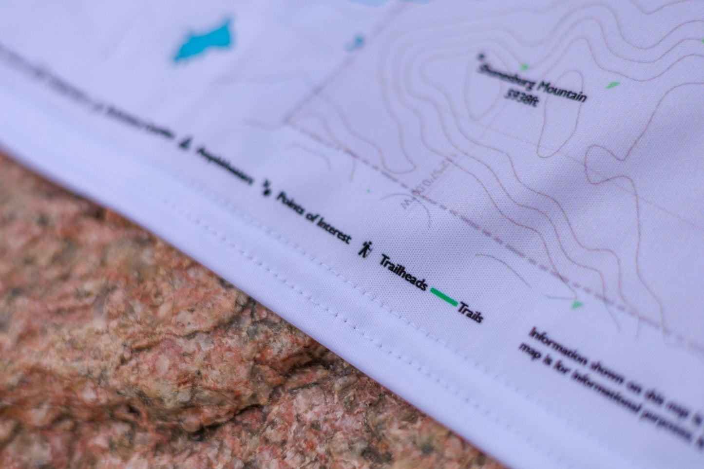
Zion is one of the most iconic hiking destinations in the American West — and one of the most complex to navigate. True North's Zion map series covers the entire park across three formats: a full-park Overview and detailed North and South regional maps, all printed on waterproof cloth built for canyon conditions.
The Overview (22.5" × 27") covers the full park from Kolob Canyons to the southern boundary — ideal for planning multi-day routes or understanding how the park's sections connect.
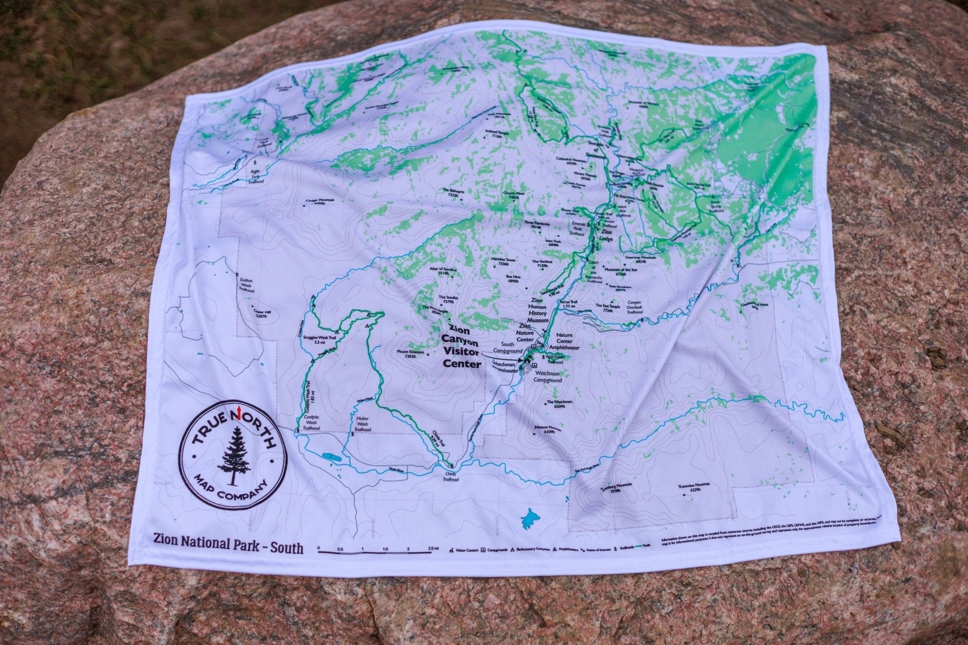
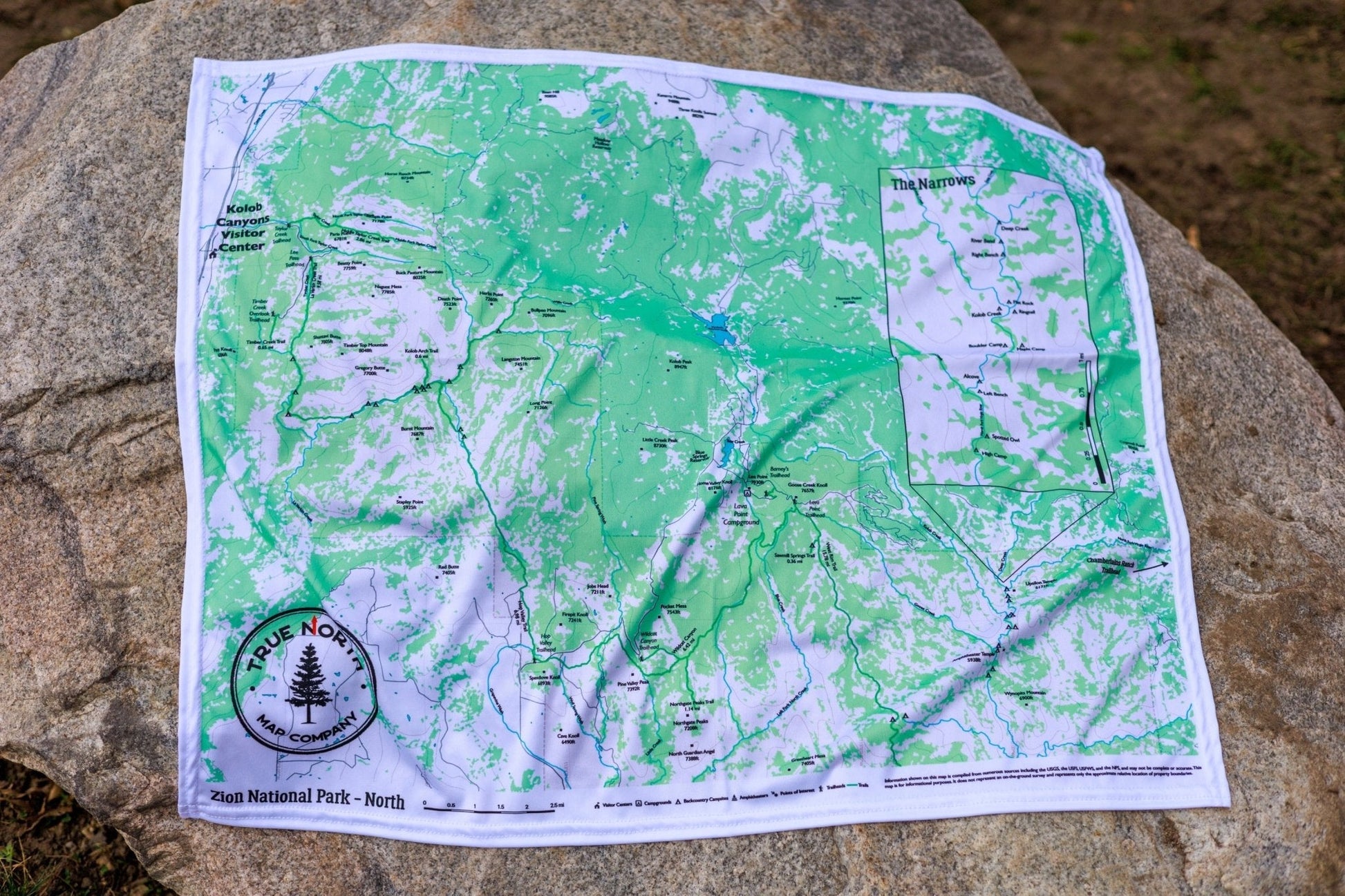
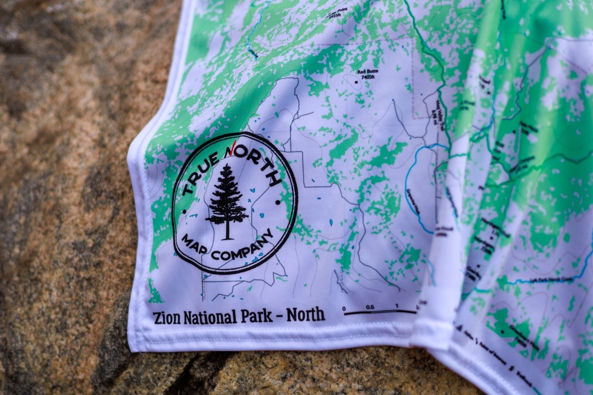
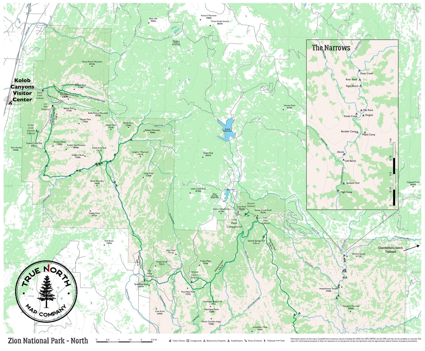
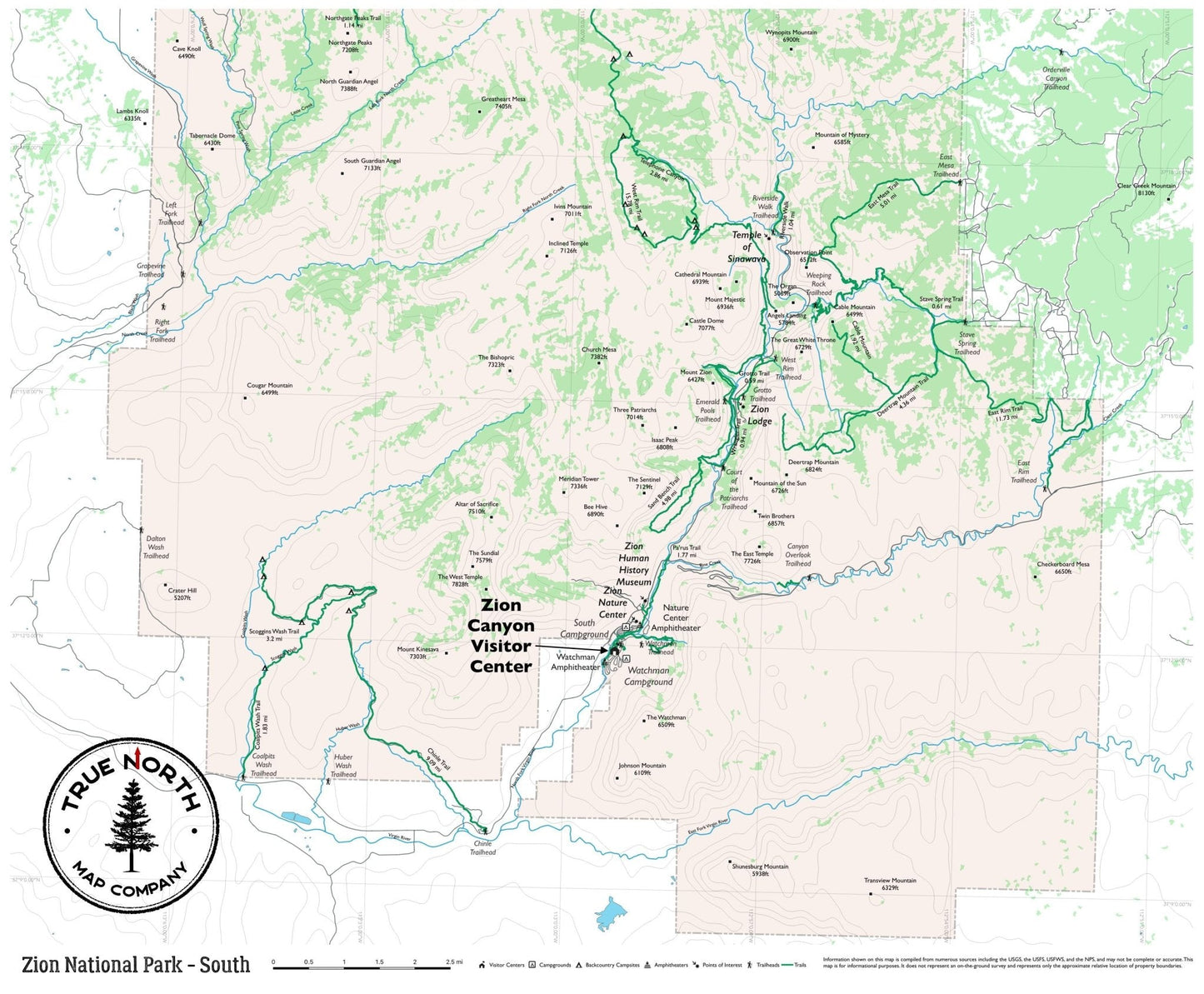
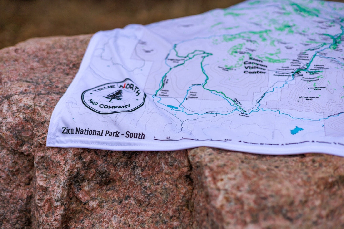
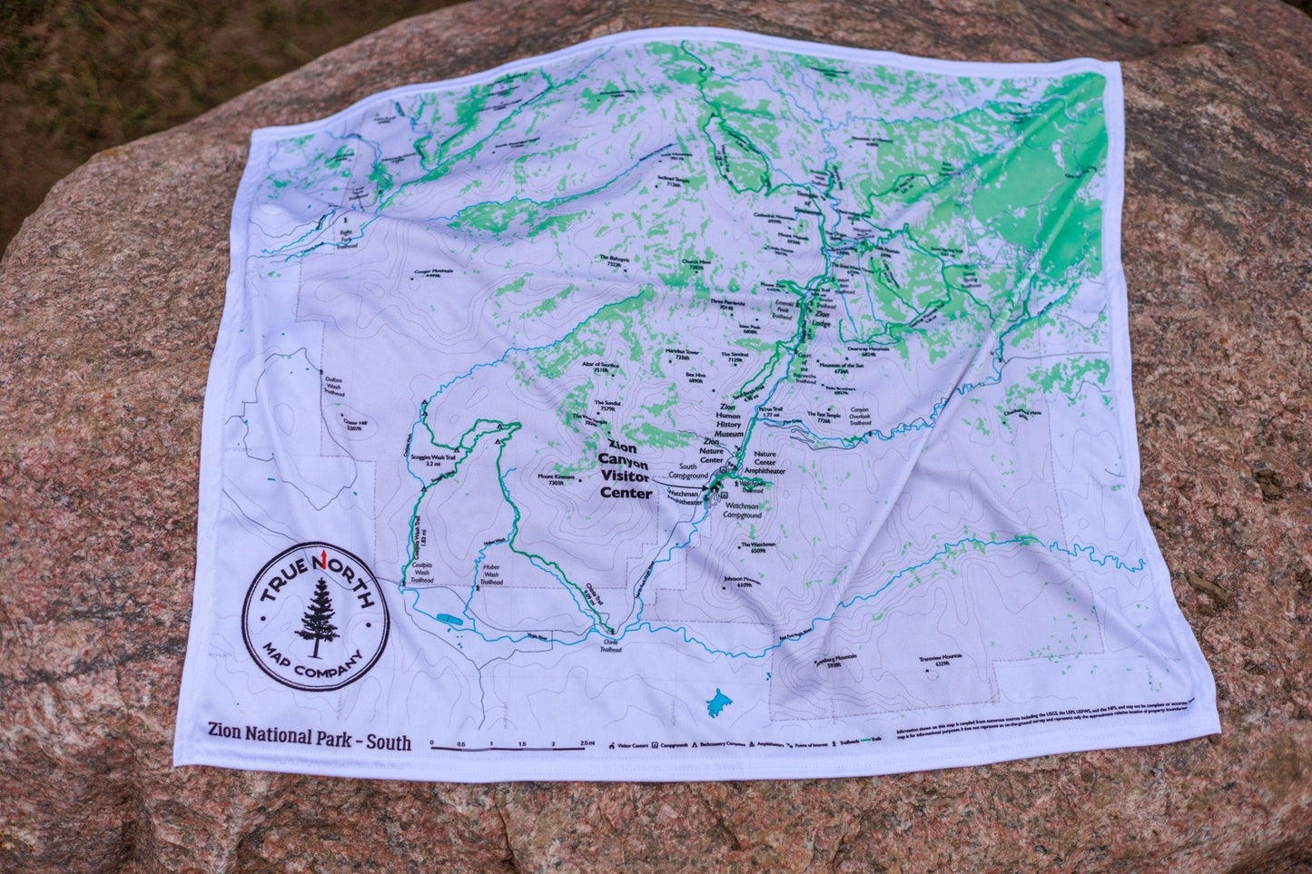
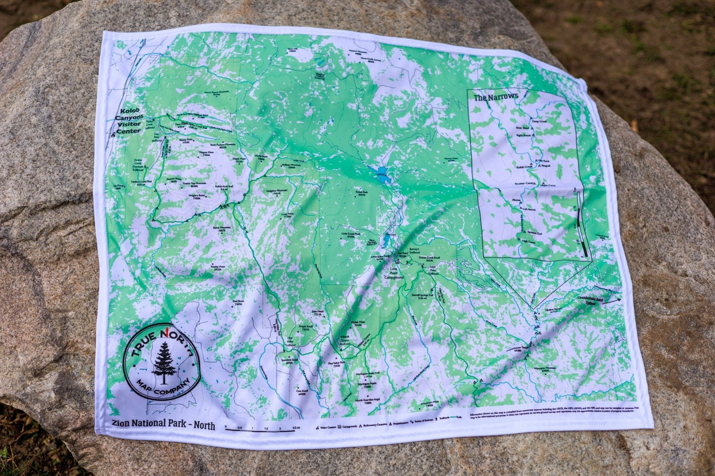
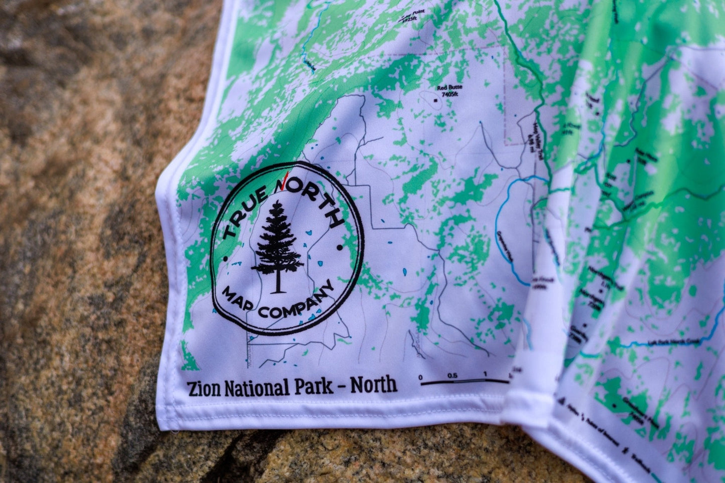
The two regional maps (27" × 22.5") give you full trail detail where you need it most:
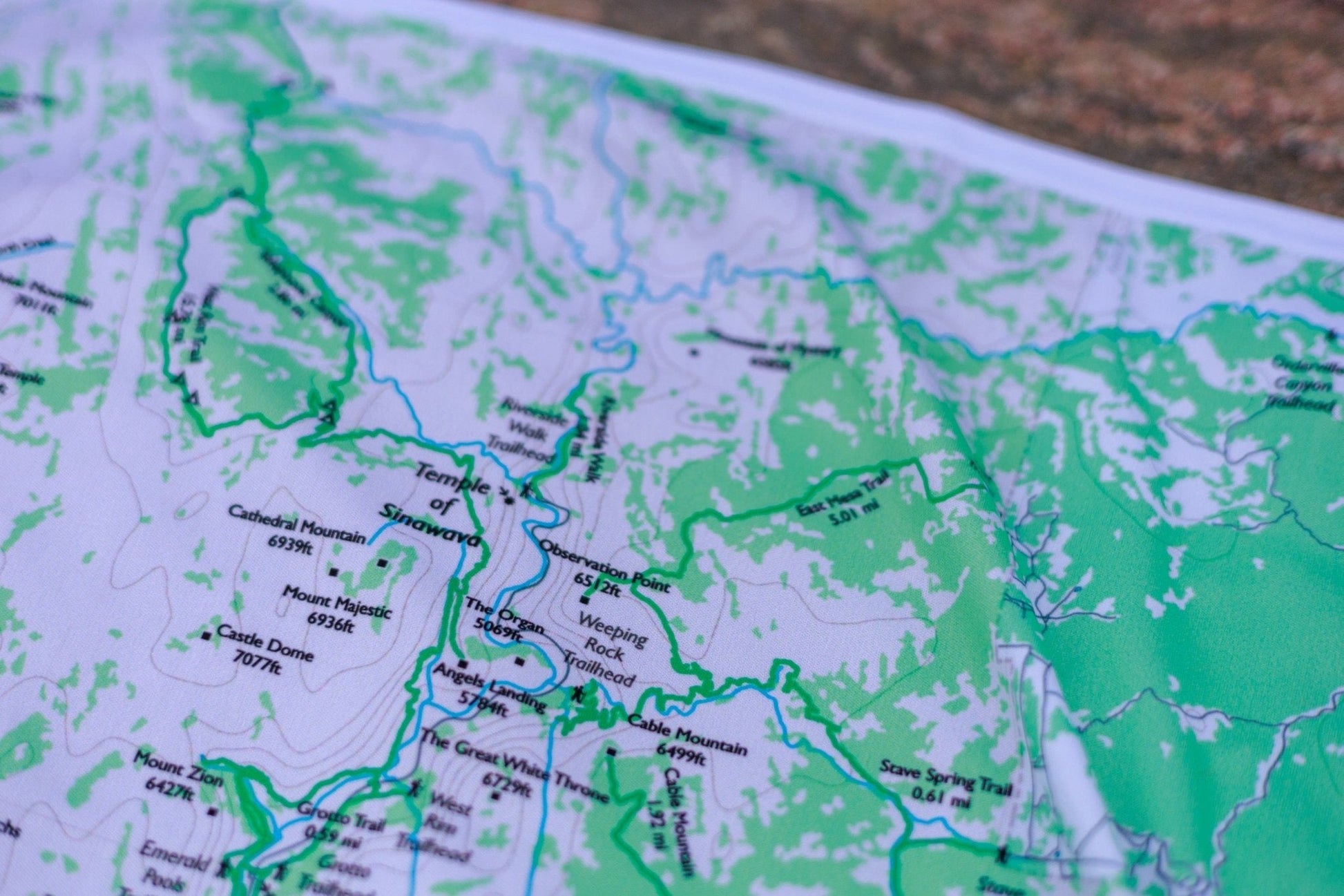
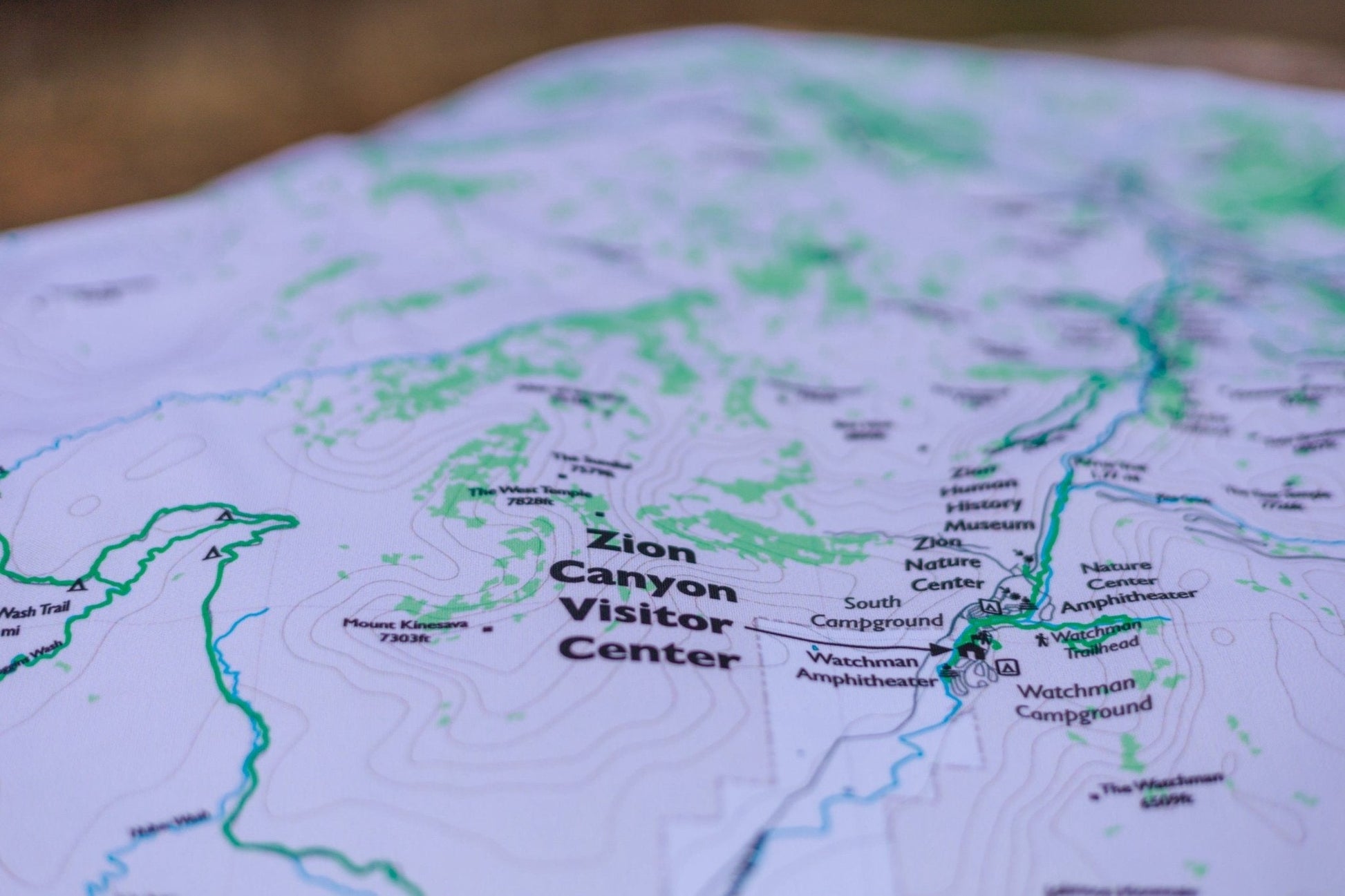
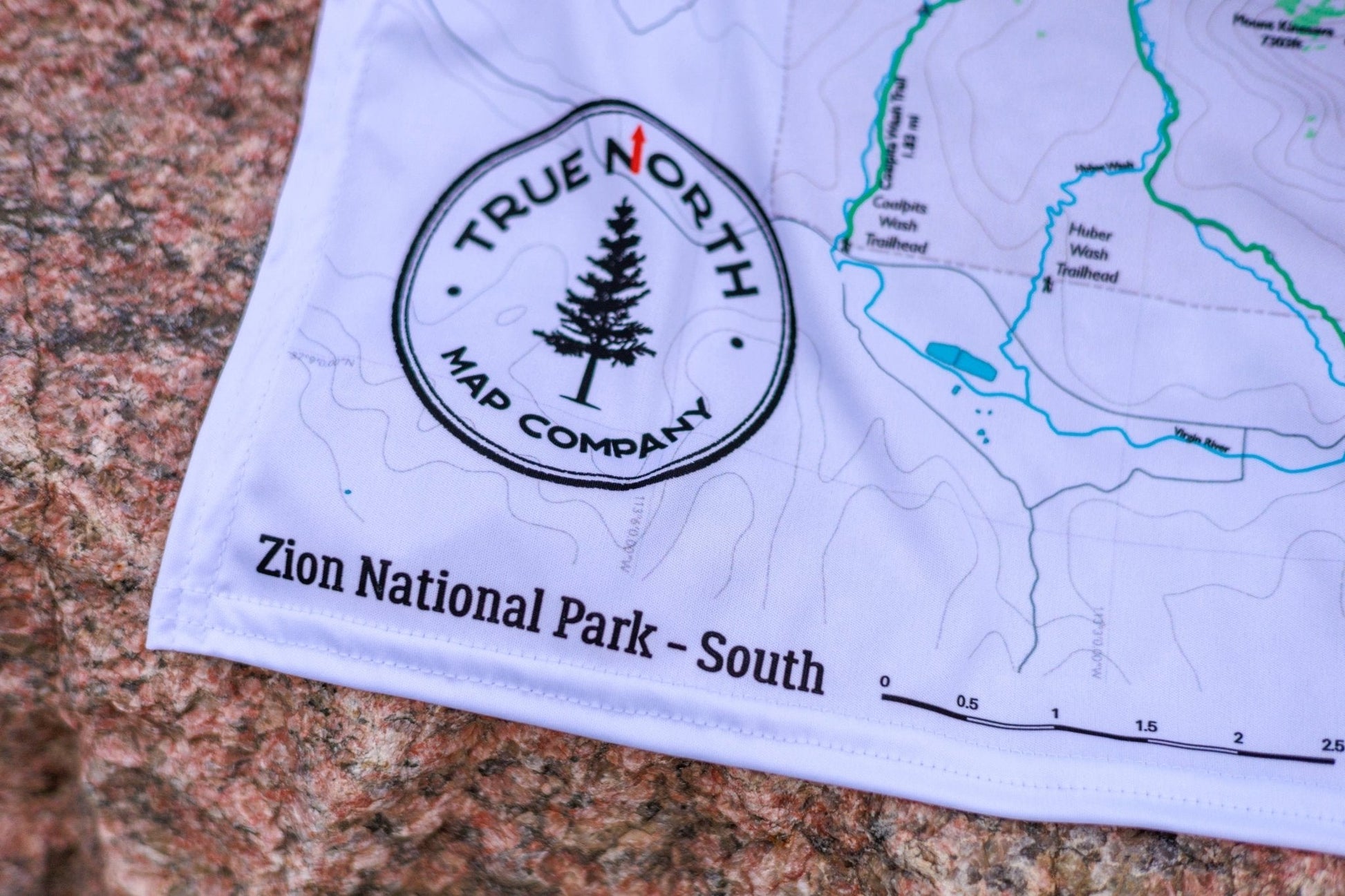
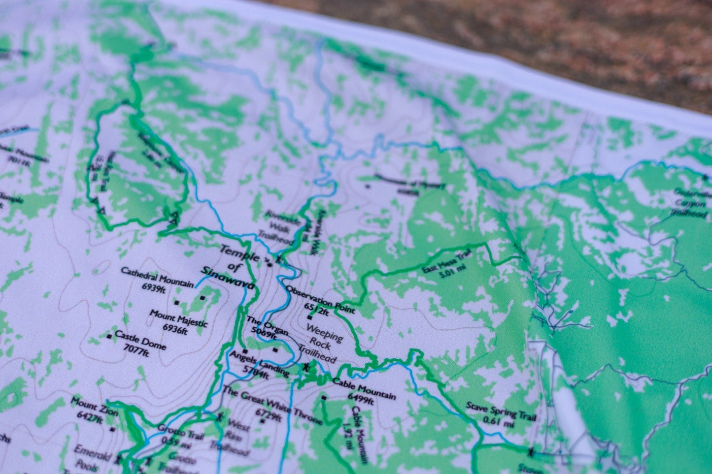
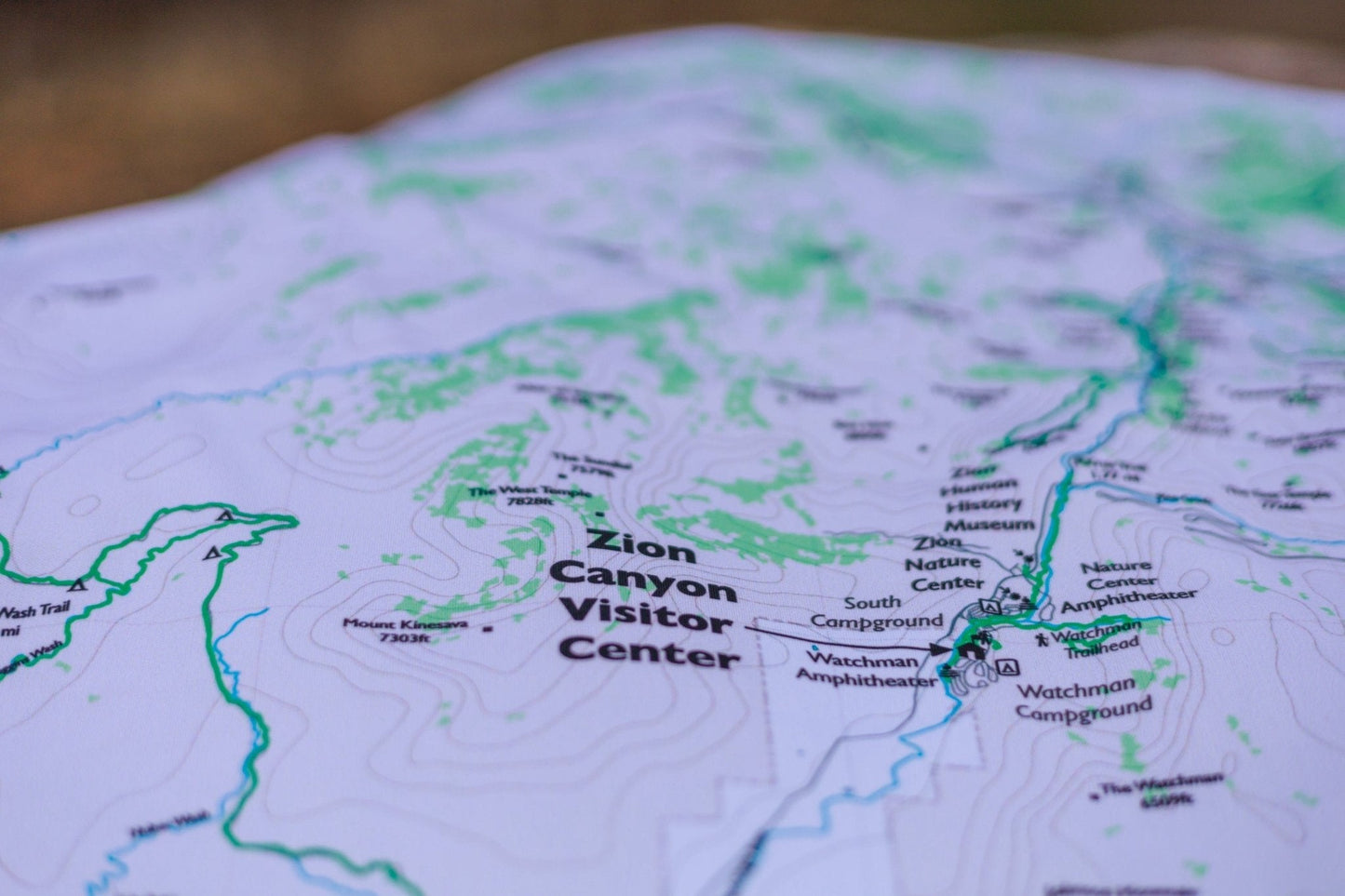
South — Zion Canyon in full detail: Angels Landing, The Narrows, Emerald Pools, Weeping Rock, Observation Point, Canyon Overlook, Court of the Patriarchs, West Rim Trail, East Rim Trail, Watchman Trail
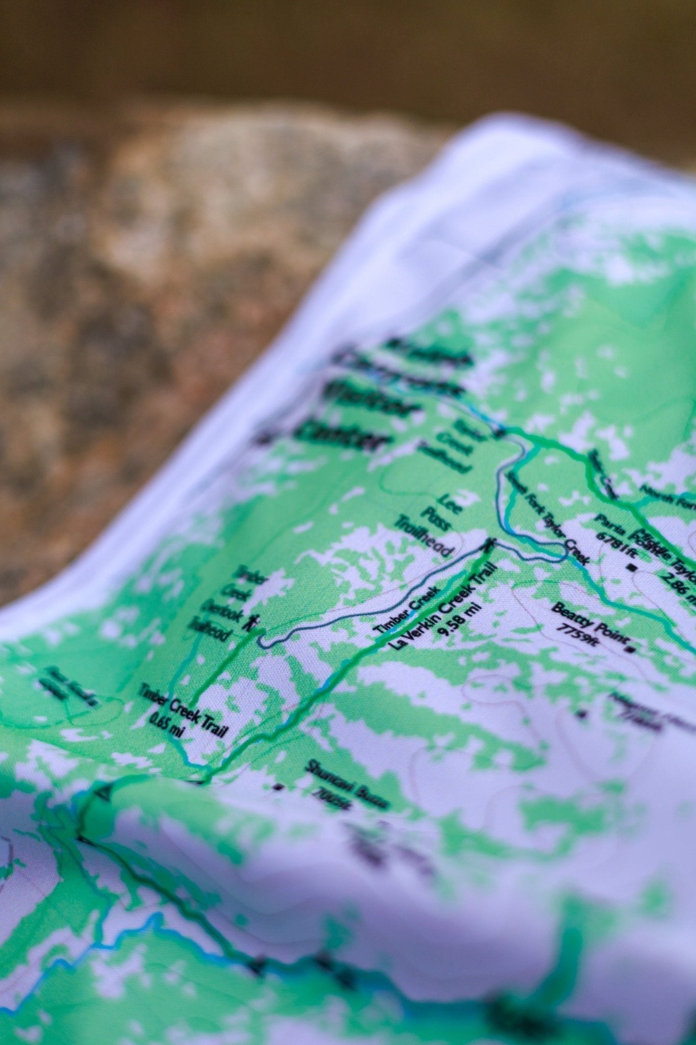
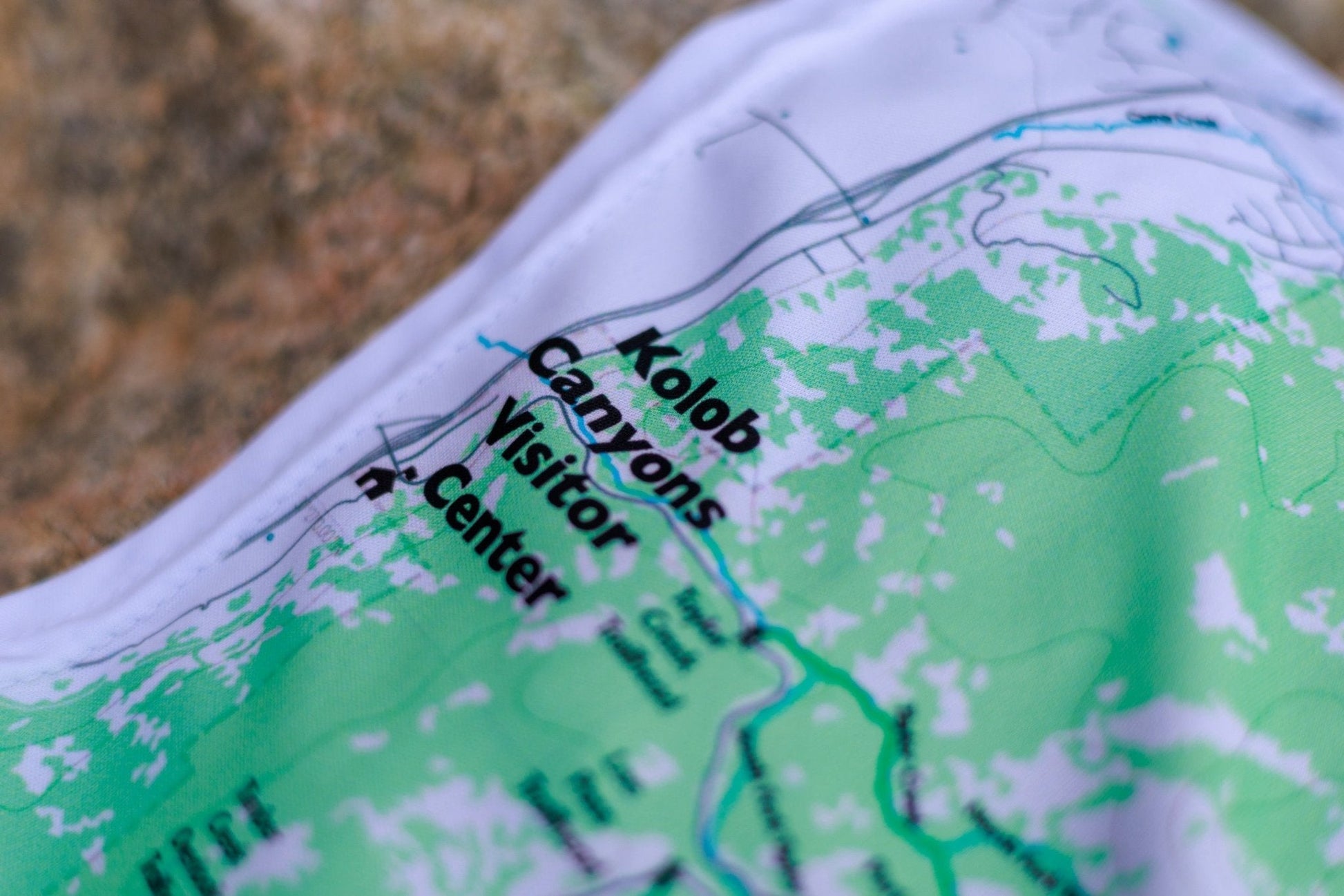
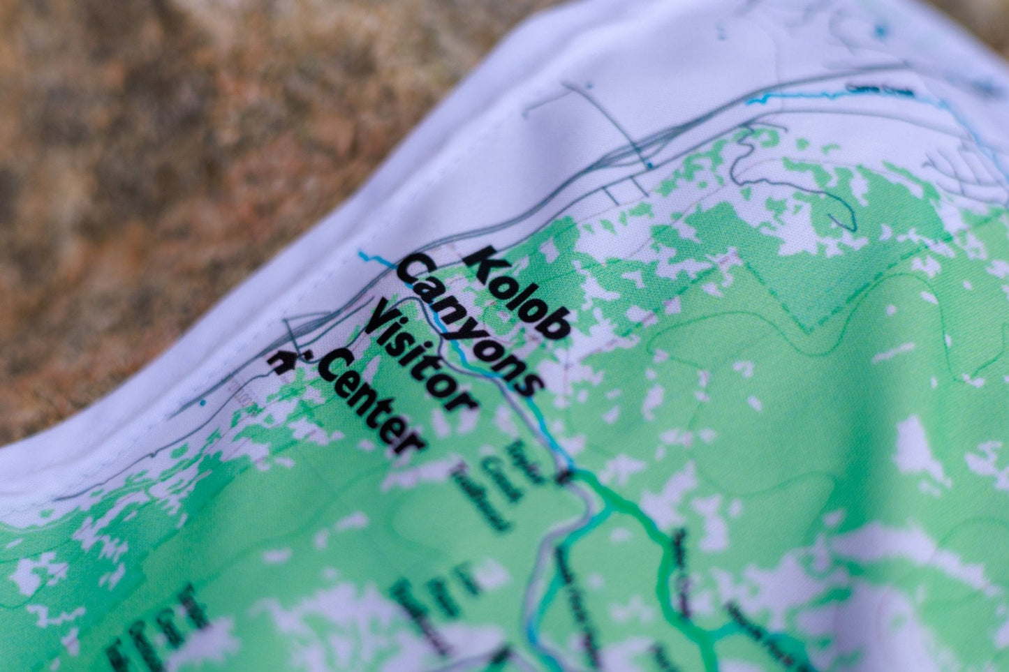
North — Kolob Canyons (La Verkin Creek, Kolob Arch, Timber Creek Overlook, Taylor Creek) and Kolob Terrace (Lava Point, Hop Valley, Wildcat Canyon, The Subway top-down)
▼ Trails & features by variant
Overview (full park) Zion Canyon, Kolob Canyons, Kolob Terrace, and all connecting trails, roads, and trailheads
South Angels Landing · The Narrows (Riverside Walk entry at Temple of Sinawava) · Lower, Middle & Upper Emerald Pools · Weeping Rock · Observation Point · Canyon Overlook Trail · Court of the Patriarchs · West Rim Trail (southern) · East Rim Trail · Watchman Trail · The Subway (Left Fork bottom-up entry) · Zion Canyon Visitor Center · Zion Lodge
North La Verkin Creek Trail & Kolob Arch · Timber Creek Overlook Trail · Taylor Creek Trail · Kolob Canyons Visitor Center · Lava Point · West Rim Trail (northern approach) · Hop Valley Trail · Wildcat Canyon Trail · The Subway (top-down via Left Fork North Creek) · Northgate Peaks · Kolob Reservoir area
Hanging: Corner button holes let you lash the map to a pack or thwart, or hang it on a wall.
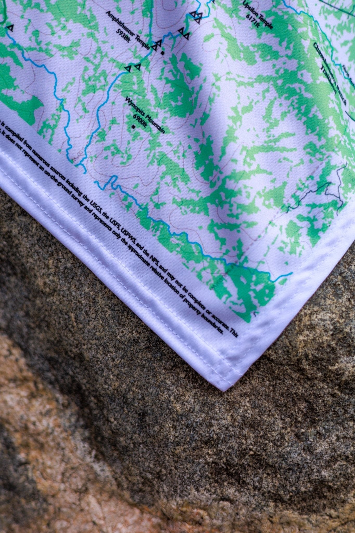
True North Map Co. is an independent map publisher and is not affiliated with, endorsed by, or sponsored by the National Park Service, U.S. Forest Service, U.S. Fish & Wildlife Service, Bureau of Land Management, the U.S. Department of the Interior, or any other government agency. Park and place names are used for identification purposes only.
True North Map Co. is an independent map publisher and is not affiliated with, endorsed by, or sponsored by the National Park Service, U.S. Forest Service, U.S. Fish & Wildlife Service, Bureau of Land Management, the U.S. Department of the Interior, or any other government agency. Place and park names are used for identification purposes only.