True North Map Co
BWCA 02 – Ely Area Cloth Map
BWCA 02 – Ely Area Cloth Map
Where this map sits
Where this map sits


Turn your phone sideways for a bigger map. Swipe sideways to see the whole map. Tap a map next door to see it.
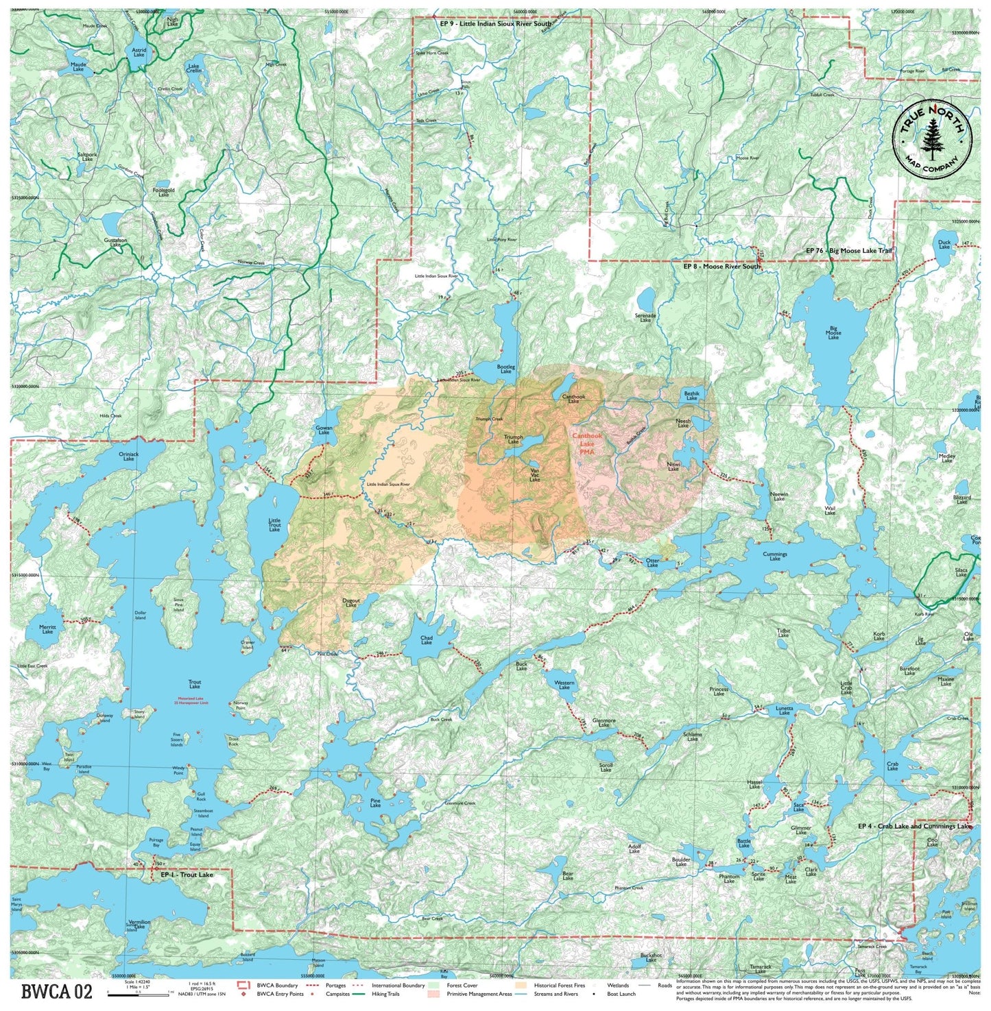
Entry points on this map:
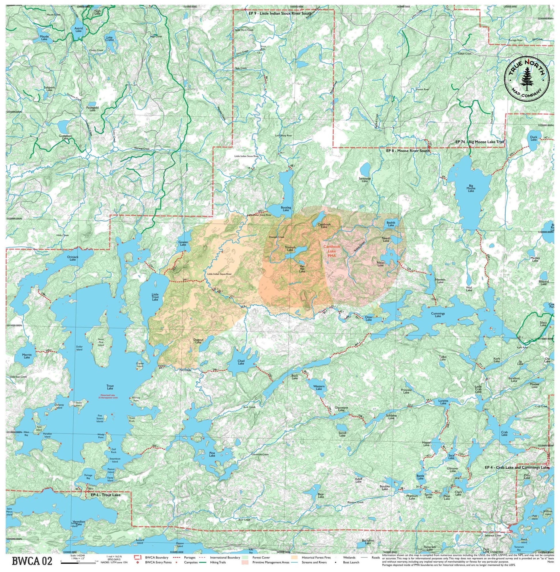
- EP 1 Trout Lake
- EP 4 Crab Lake and Cummings Lake
- EP 8 Moose River South
- EP 9 Little Indian Sioux River South
- EP 76 Big Moose Lake Trail
Maps next door:
- 04BWCA 04 – Iron Lake & Lac la Croix$25 · In stock
- 05BWCA 05 – Burntside & Fenske Lake$25 · In stock
Part of the Complete BWCA Map Set (1–17): all 17 maps, $375 (save $50)
Couldn't load pickup availability
The gateway to the Boundary Waters from Ely, Minnesota's canoe capital. This map covers the lakes surrounding Ely — Burntside, Trout, and Lake Vermilion — including several entry points that see year-round traffic. A good map for day trips or weeklong paddles close to town, with a mix of well-traveled entry lakes and quieter interior water once you get past the first portage.
Entry Points: 14891676
▼ Lakes on this map
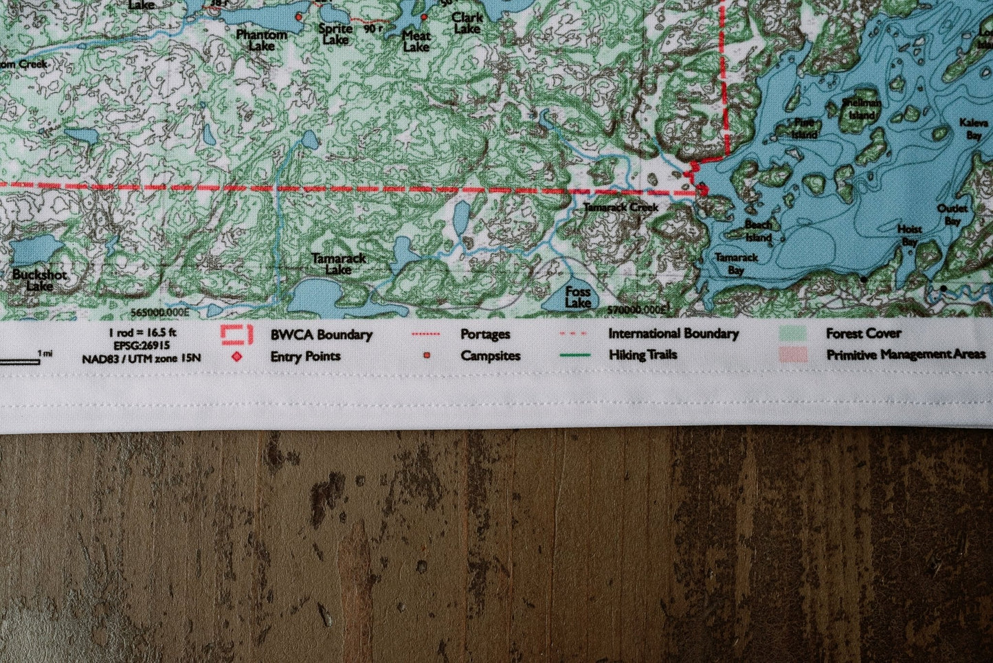
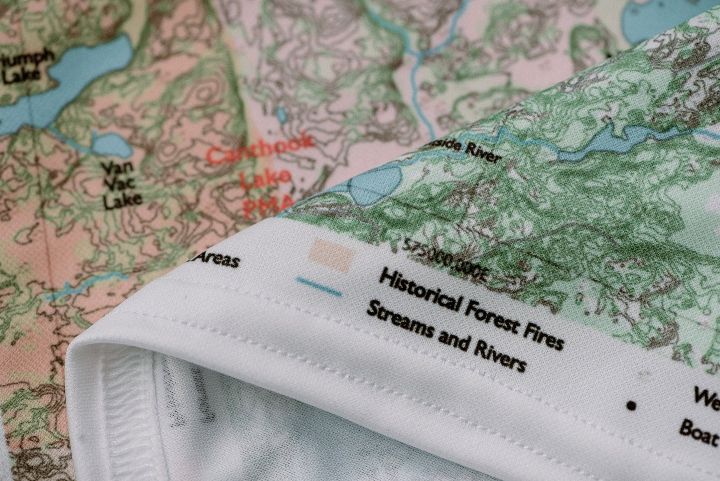
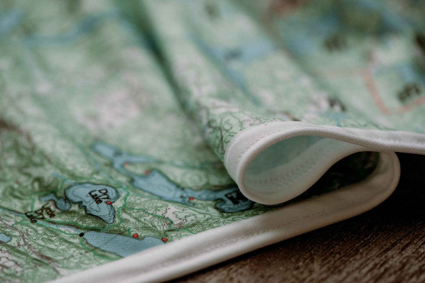
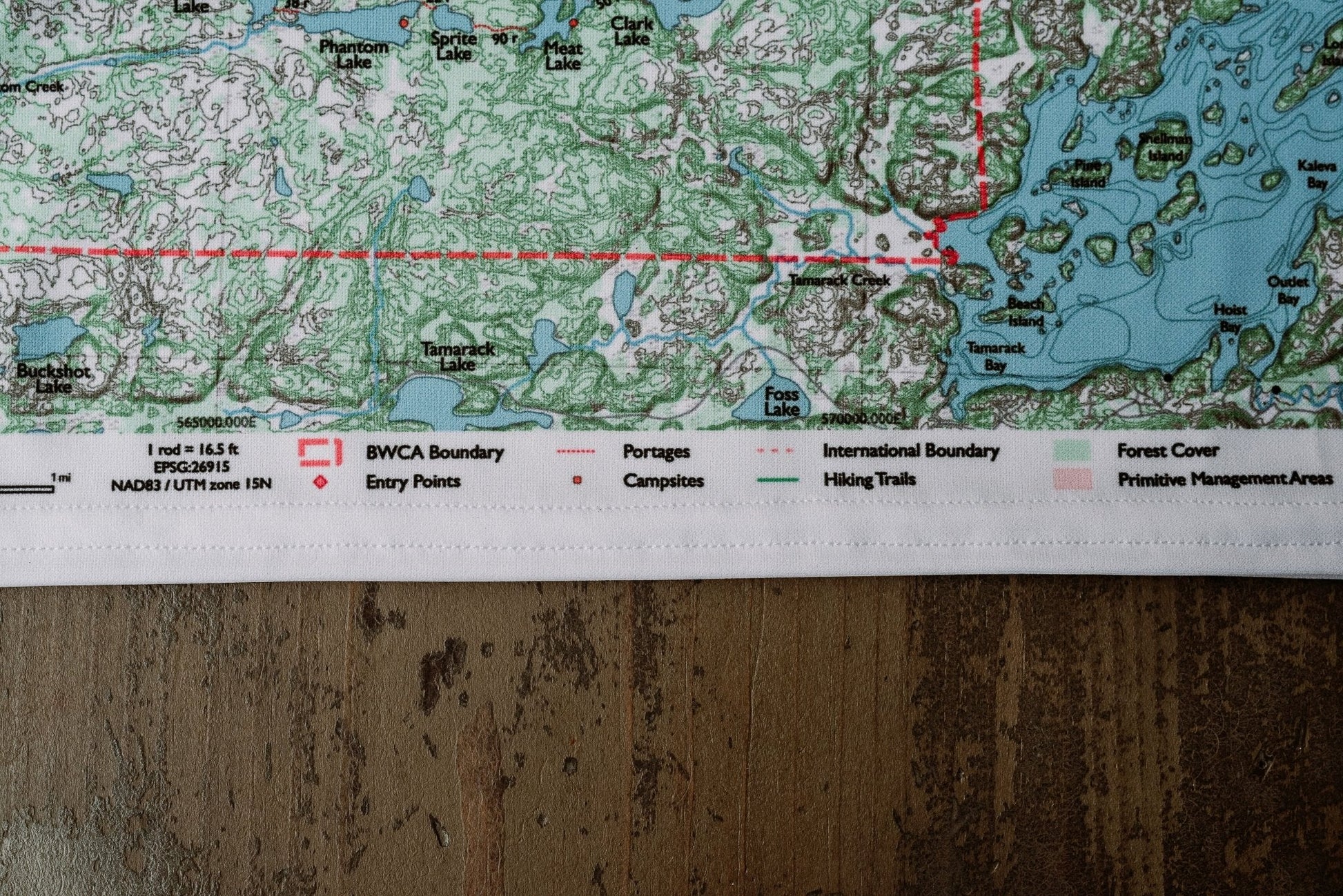
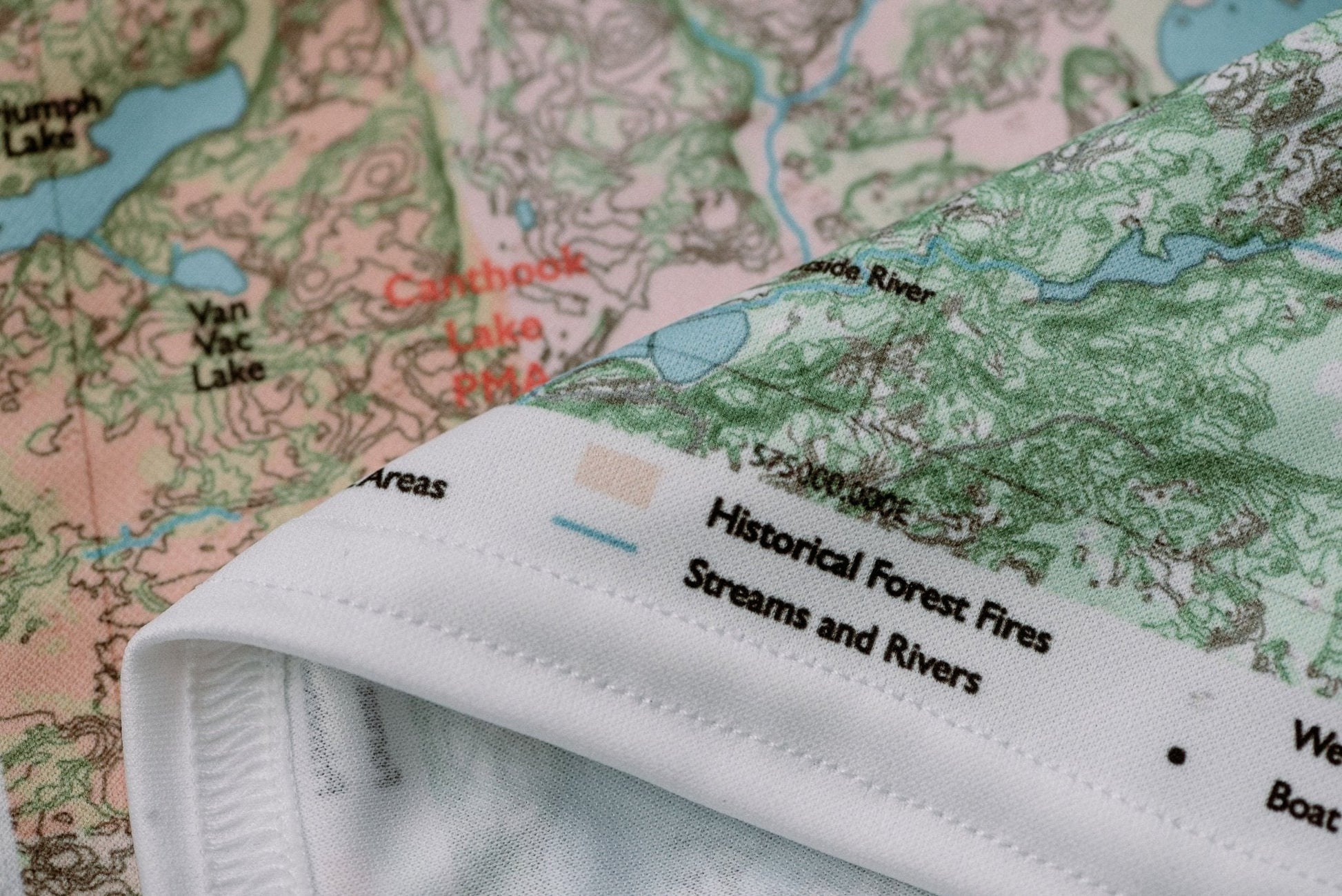
Hanging: Corner button holes let you lash the map to a pack or thwart, or hang it on a wall.
From the Field Guide: Trip Planning Timeline · How to Book Your BWCA Permit · Navigating Portages