♻️Built to Last
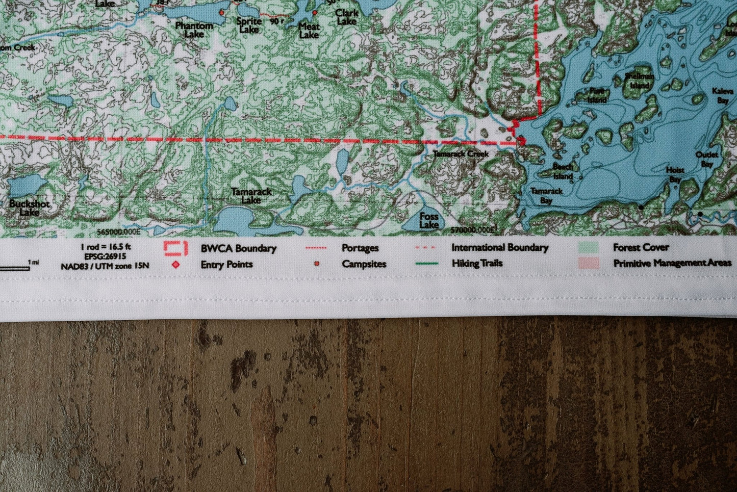
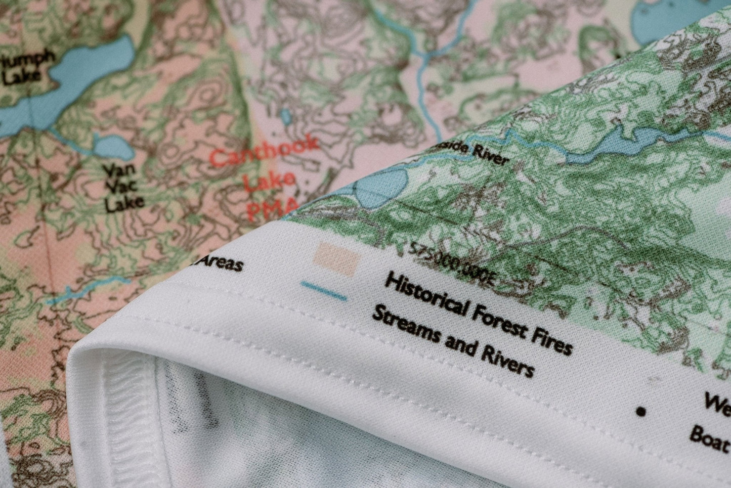
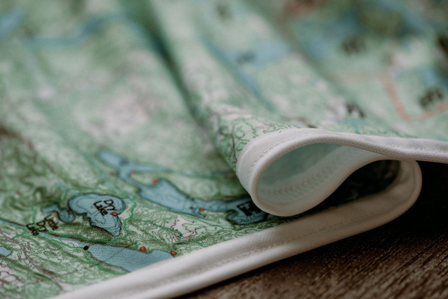
Durable cloth maps designed for years of use, not single trips
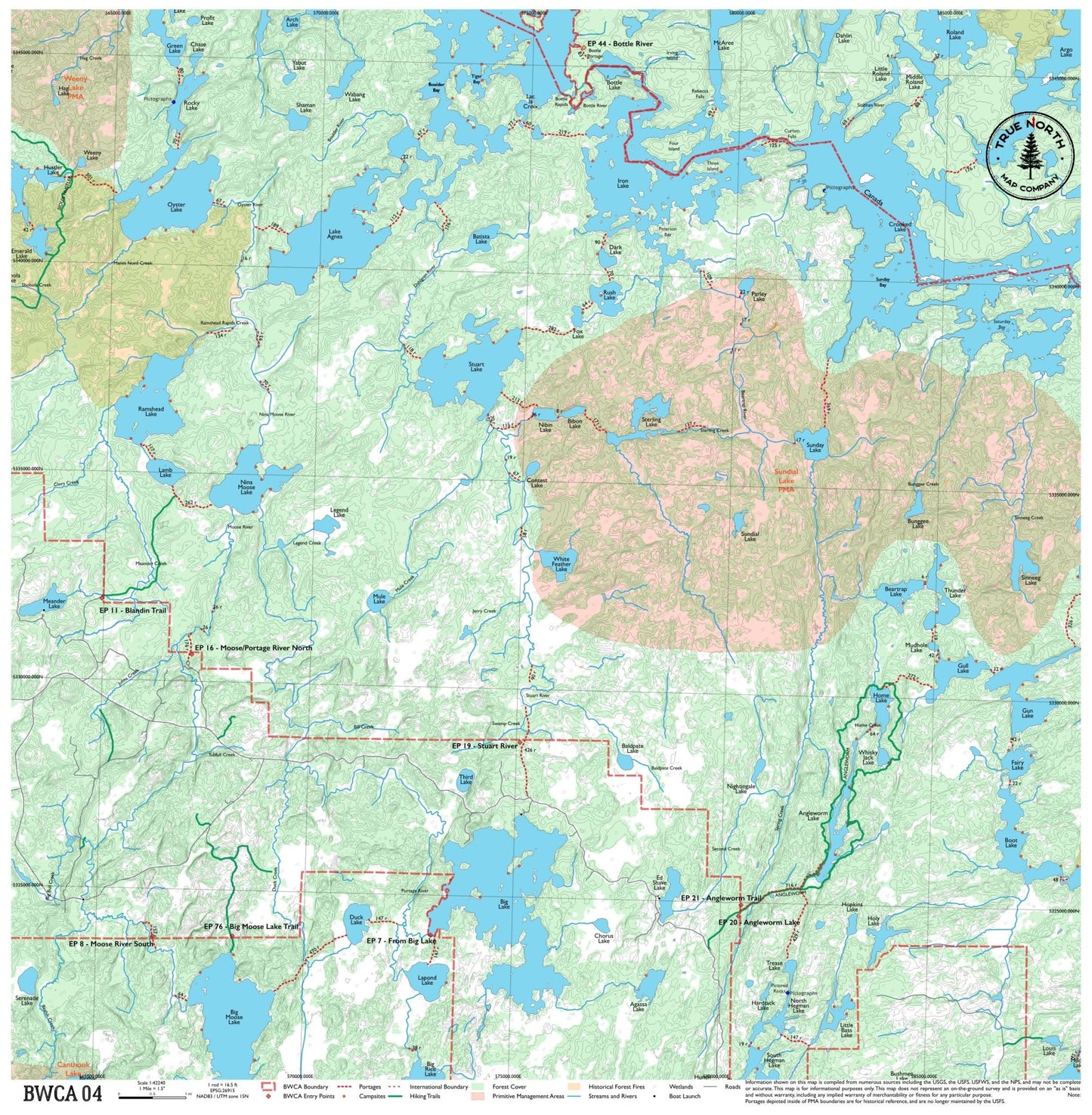
The heart of BWCA canoe country — this map spans the corridor between Ely and the border, covering Iron Lake, Lac la Croix, and Nina Moose Lake. It's a crossroads map used by paddlers heading west toward the remote border lakes or looping through the classic Fourtown-Horse-Iron route. Multiple entry points and good loop options make it one of the most versatile maps in the series.