♻️Built to Last
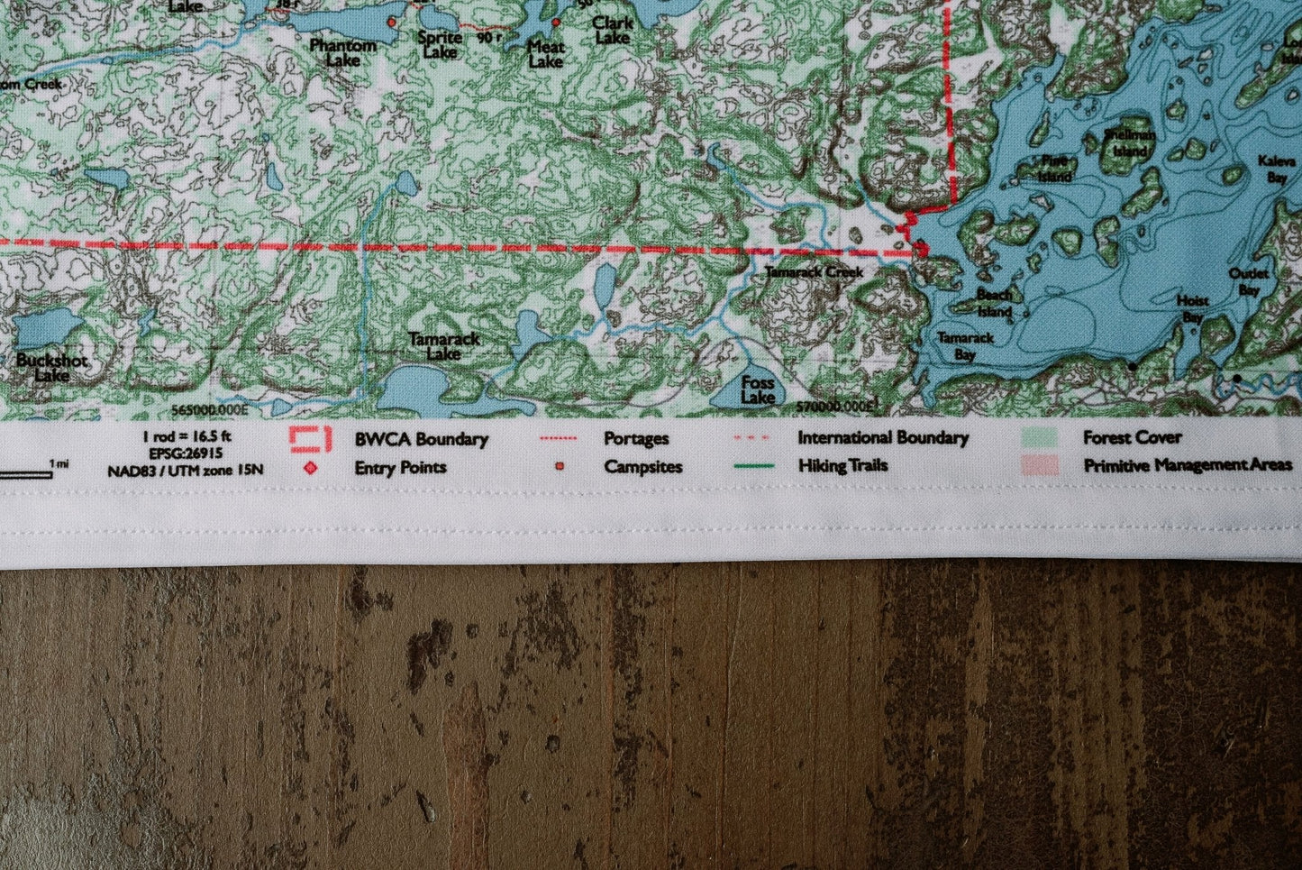
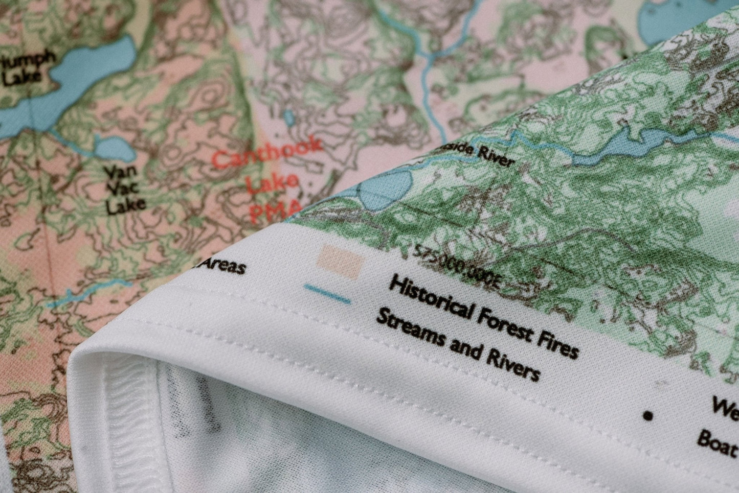
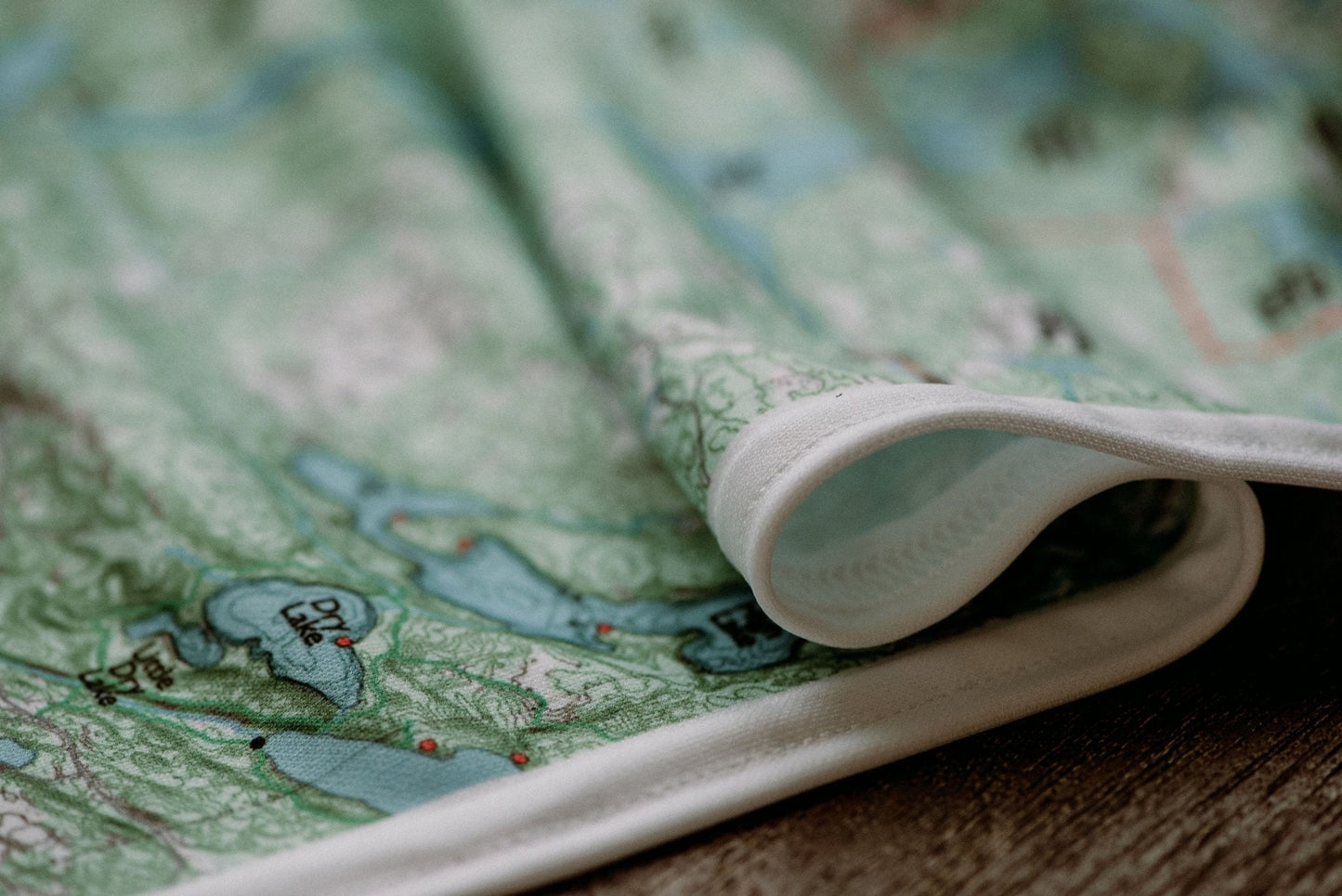
Durable cloth maps designed for years of use, not single trips
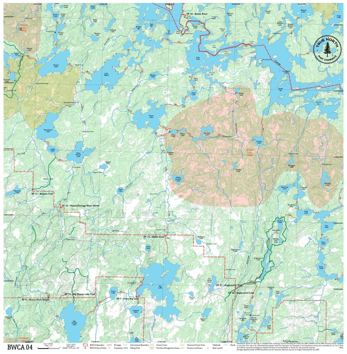
The heart of BWCA canoe country — this map spans the corridor between Ely and the border, covering Iron Lake, Lac la Croix, and Nina Moose Lake. It's a crossroads map used by paddlers heading west toward the remote border lakes or looping through the classic Fourtown-Horse-Iron route. Multiple entry points and good loop options make it one of the most versatile maps in the series.
True North Map Co. is an independent map publisher and is not affiliated with, endorsed by, or sponsored by the National Park Service, U.S. Forest Service, U.S. Fish & Wildlife Service, Bureau of Land Management, the U.S. Department of the Interior, or any other government agency. Place and park names are used for identification purposes only.