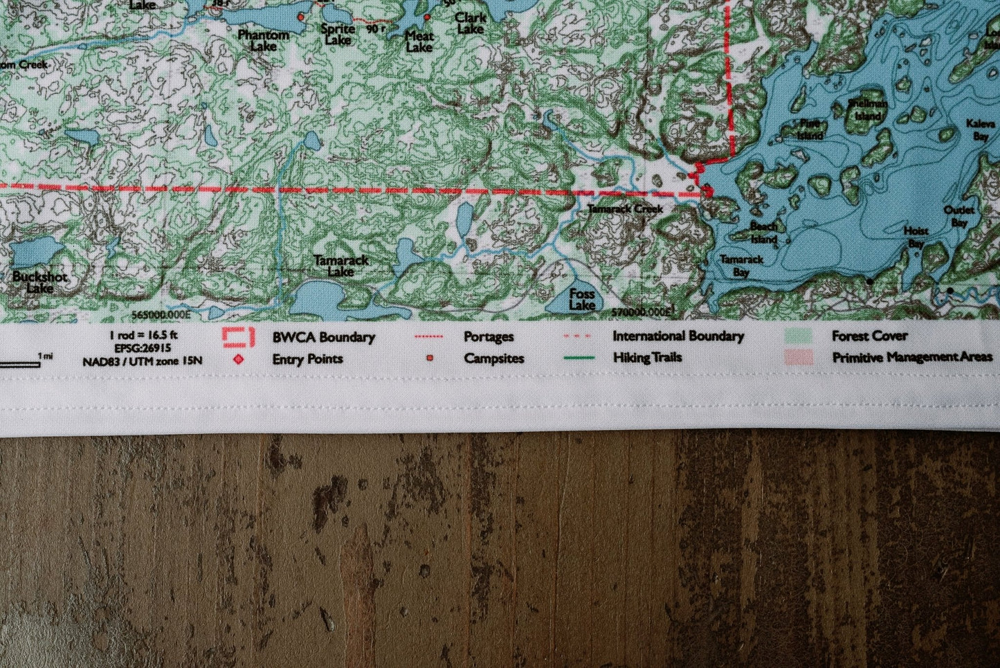
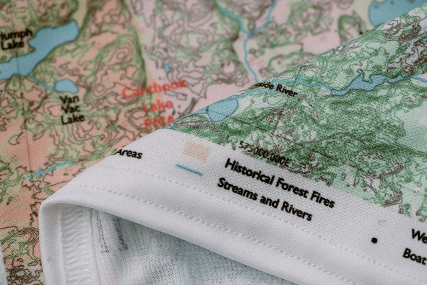
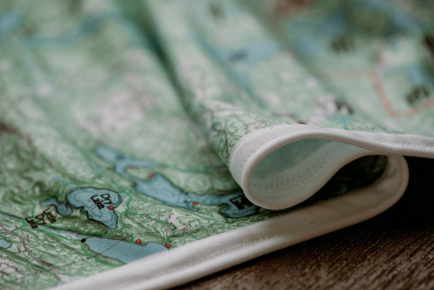
♻️Built to Last
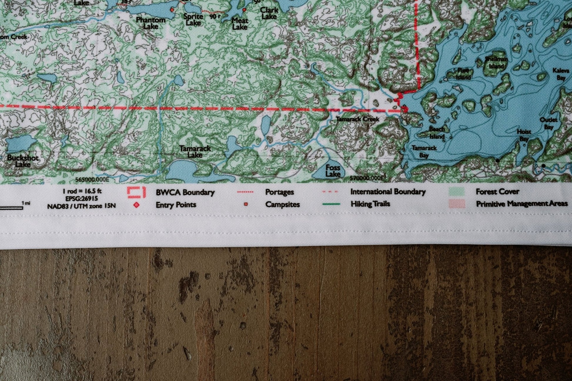
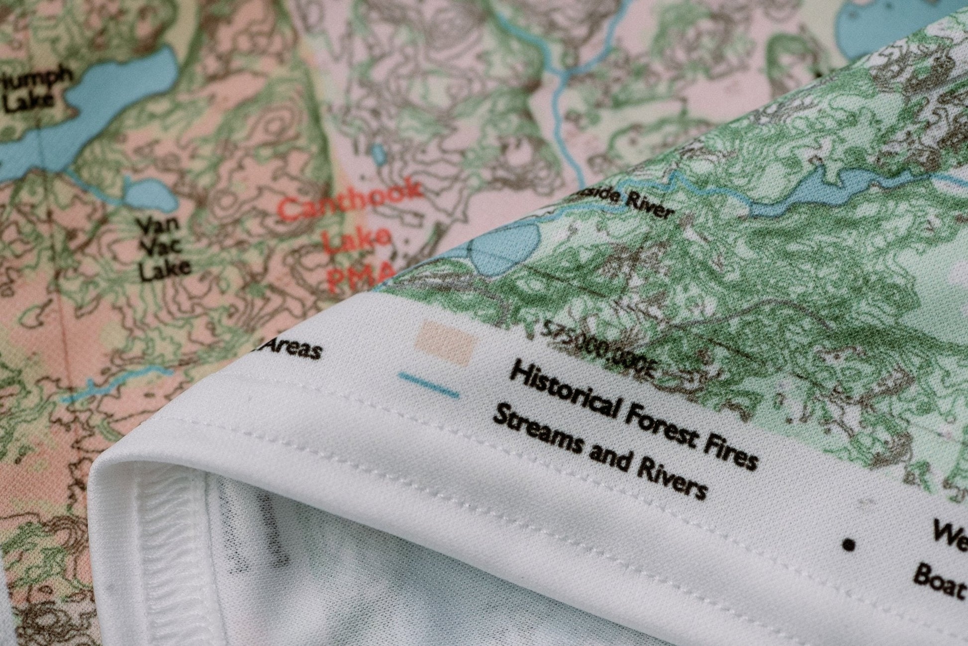
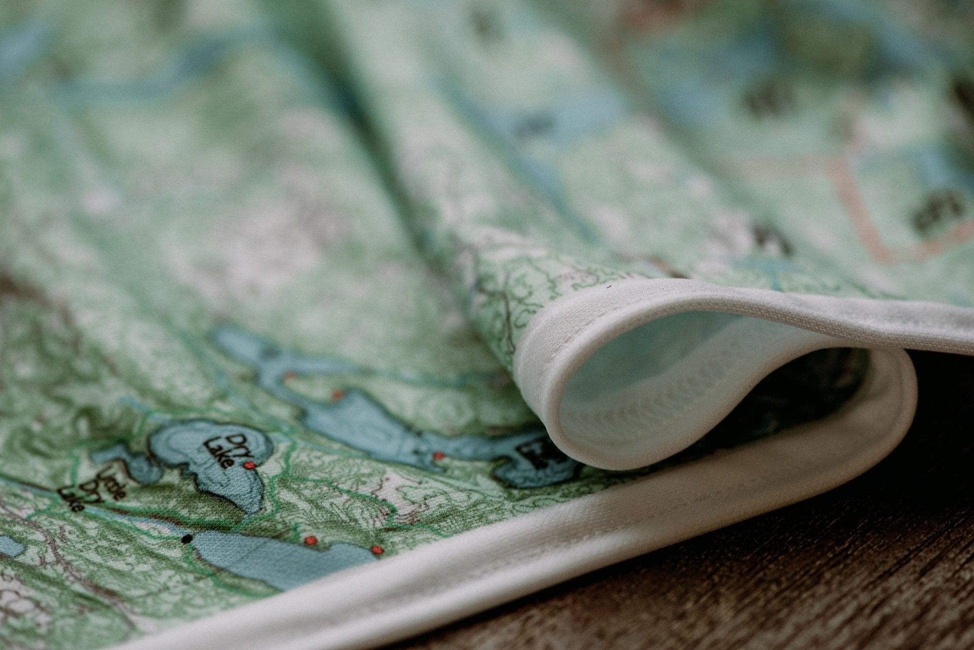
Durable cloth maps designed for years of use, not single trips
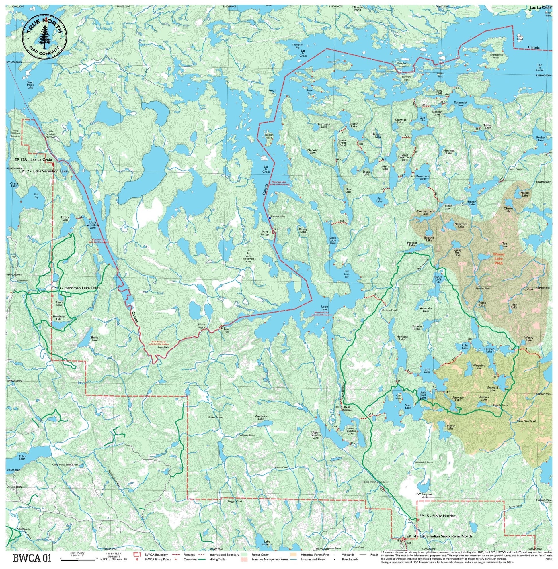
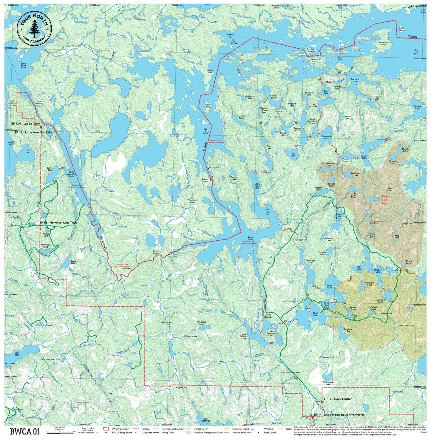
Cover the wild western edge of the BWCA, where the international border traces a chain of remote lakes between Minnesota and Ontario. This map covers Crane Lake, Sand Point Lake, and the sprawling Lac la Croix — big, open water with long paddles, dramatic shorelines, and some of the most isolated campsites in the system. If you're entering from the Echo Trail's western access points or pushing deep into border country, this is your map.
Entry Points:12131415
▼ Lakes on this map
Achundo Lake
Agawato Lake
Auchagah Lake
Baylis Lake
Beartrack Lake
Beatty Lake
Bourassa Lake
Brigand Lake
Charm Lake
Contentment Lake
Crane Lake
Deposit Lake
Dogfish Lake
Dovre Lake
Echo Lake
Emerald Lake
Eugene Lake
Fat Lake
Finger Lake
Ge-be-on-e-quet Lake
Gun Lake
Hag Lake
Haunted Lake
Heritage Lake
Herriman Lake
Hustler Lake
Knute Lake
Lac la Croix
Lake Jeanette
Little Beartrack Lake
Little Loon Lake
Little Shell Lake
Little Vermilion Lake
Loon Lake
Lower Pauness Lake
Lucky Finn Lake
Lynx Lake
Mantle Lake
Nahimana Lake
North Lake
Norway Lake
Oyster Lake
Pageant Lake
Pocket Lake
Posse Lake
Range Line Lake
Ruby Lake
Sand Point Lake
Section Three Pond
Shell Lake
Shohola Lake
Slim Lake
Steep Lake
Takucmich Lake
Tesaker Lake
Thumb Lake
Trillium Lake
Trygg Lake
Upper Pauness Lake
Warpaint Lake
Weeny Lake
Woksapiwi Lake
Wolfpack Lake
Yodeler Lake
Hanging: Corner button holes let you lash the map to a pack or thwart, or hang it on a wall.
True North Map Co. is an independent map publisher and is not affiliated with, endorsed by, or sponsored by the National Park Service, U.S. Forest Service, U.S. Fish & Wildlife Service, Bureau of Land Management, the U.S. Department of the Interior, or any other government agency. Place and park names are used for identification purposes only.