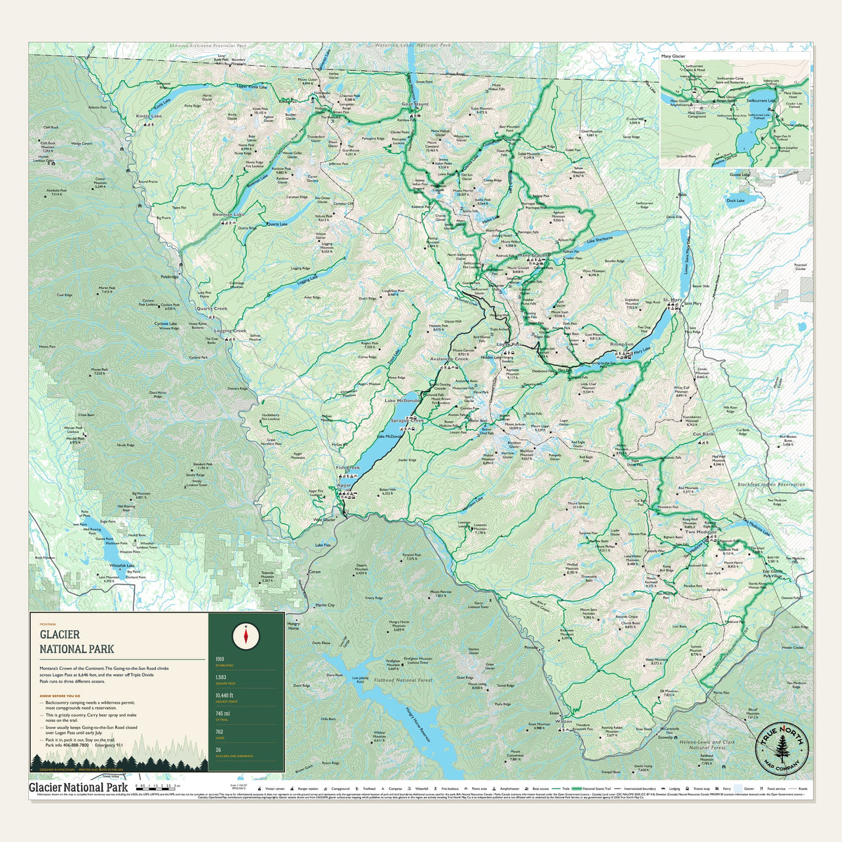
Glacier is Montana's Crown of the Continent. The Going-to-the-Sun Road climbs across Logan Pass at 6,646 feet, and the water off Triple Divide Peak runs to three different oceans. We mapped all 1,583 square miles: 745 miles of trail, 762 lakes and the glaciers still hanging on.
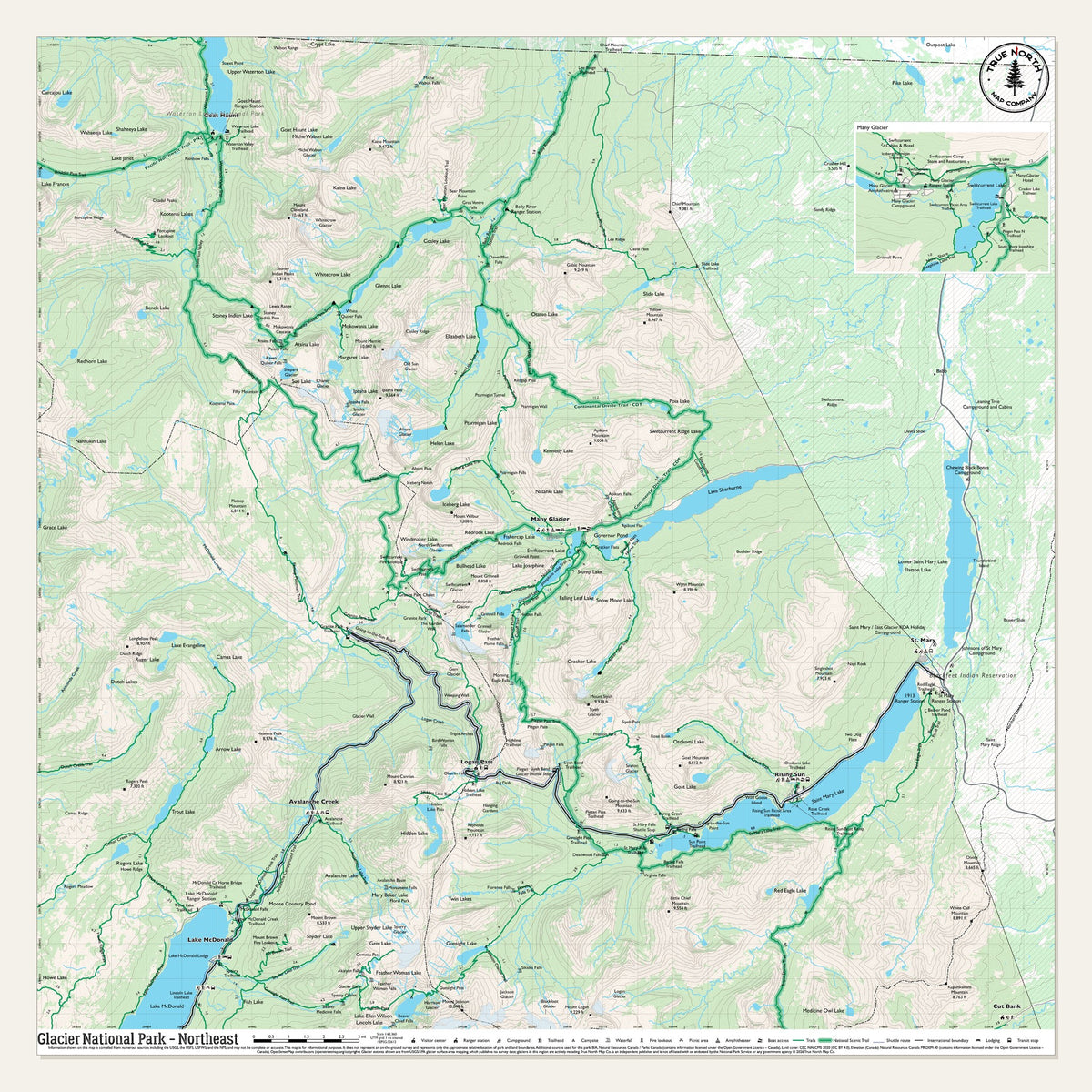
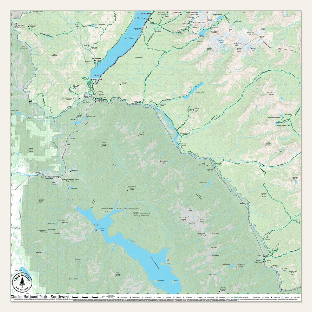
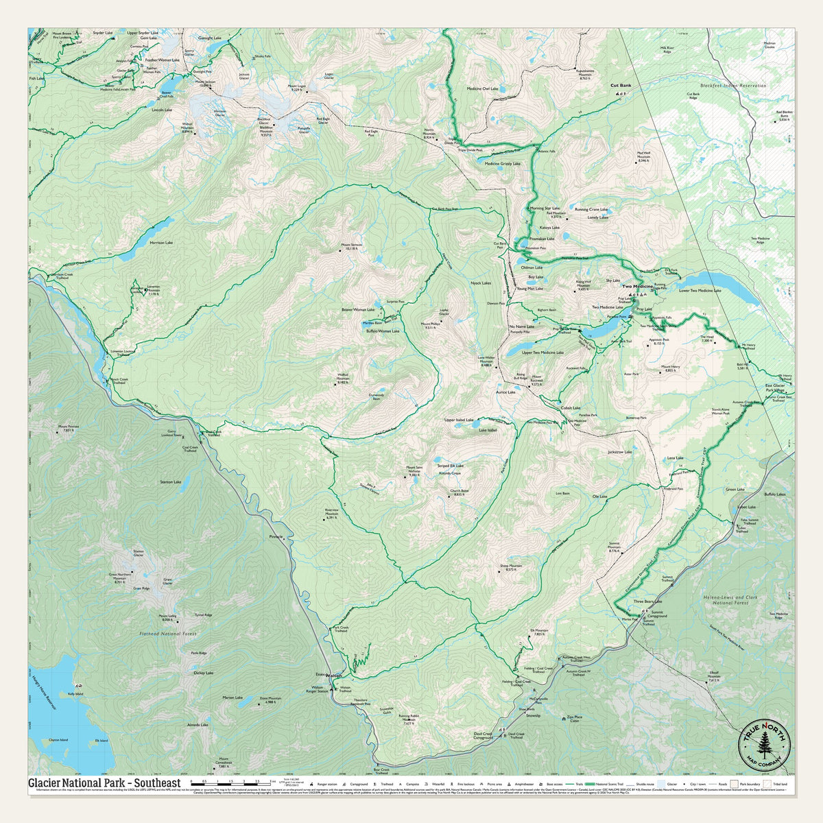
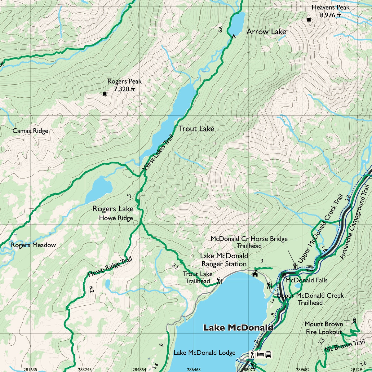
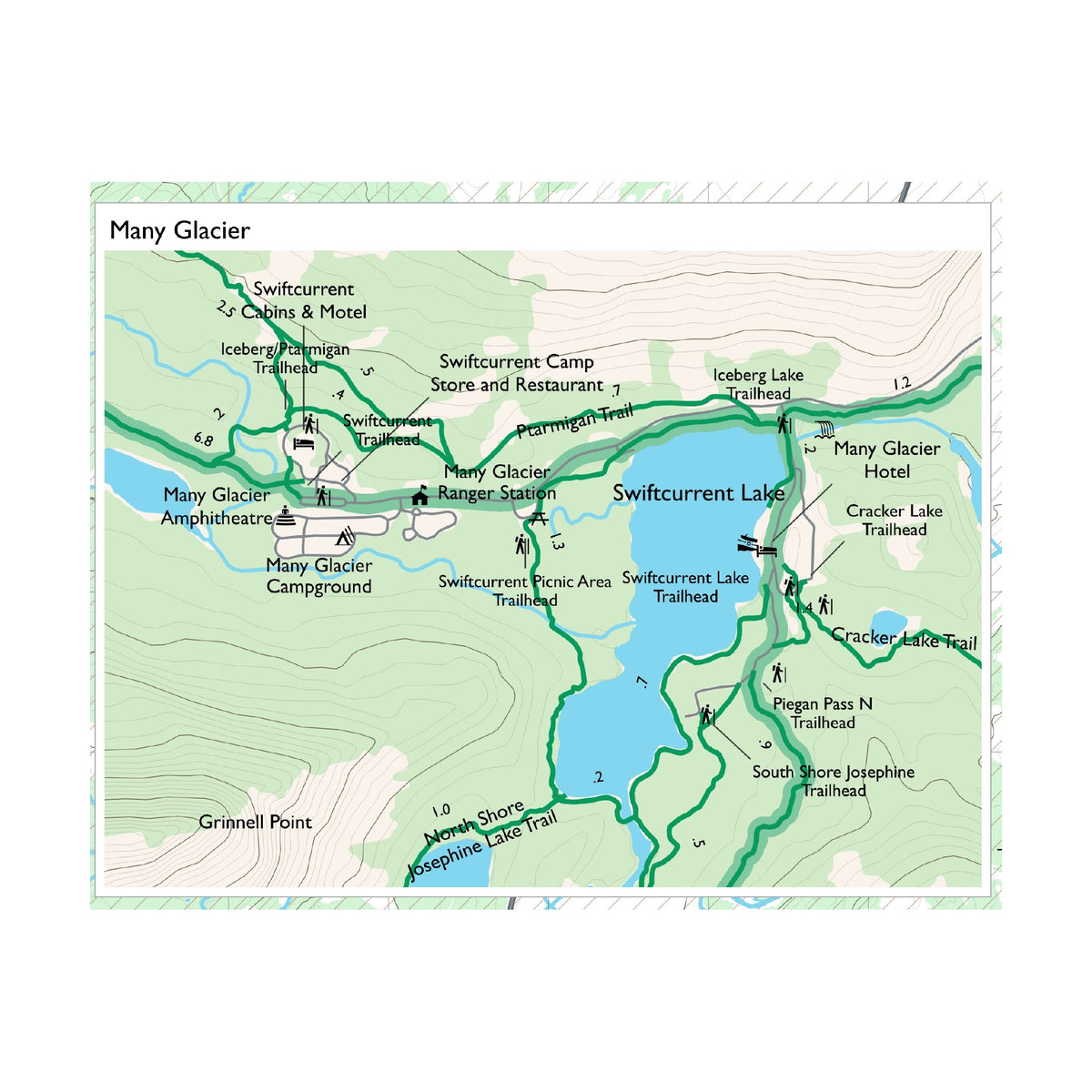
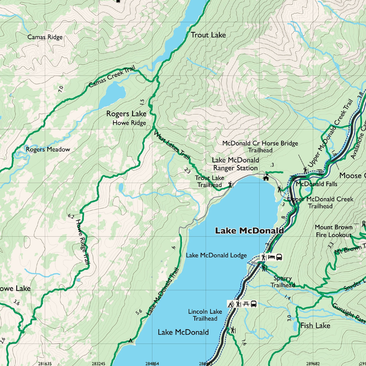
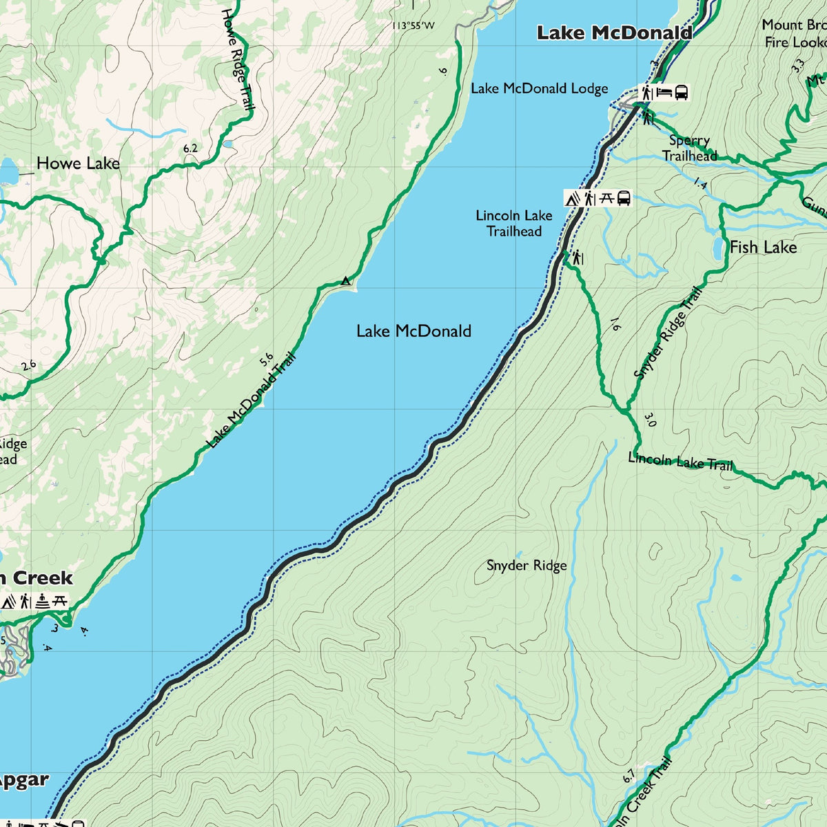
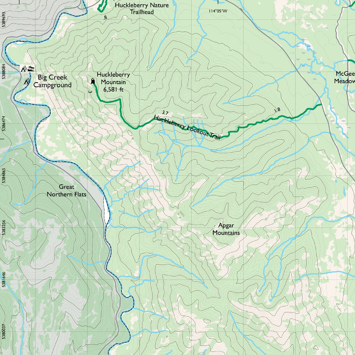
Names that print include Lake McDonald, Logan Pass, the Highline Trail, Bowman and Kintla lakes, St. Mary, Two Medicine and Polebridge. The Overview shows the whole park and carries our info panel; the Northwest, Northeast, Southwest and Southeast sheets carry the detail at 1 inch = 1 mile, on a 1-mile UTM grid, with 80-foot contours. Many Glacier gets its own detail inset. Look for Avalanche Lake, Fifty Mountain, Grinnell Glacier, Running Eagle Falls and Marias Pass too.
New edition, printing this winter. Join the waitlist on this page and we'll email you the day it's in stock.
Choose your sheet:
-
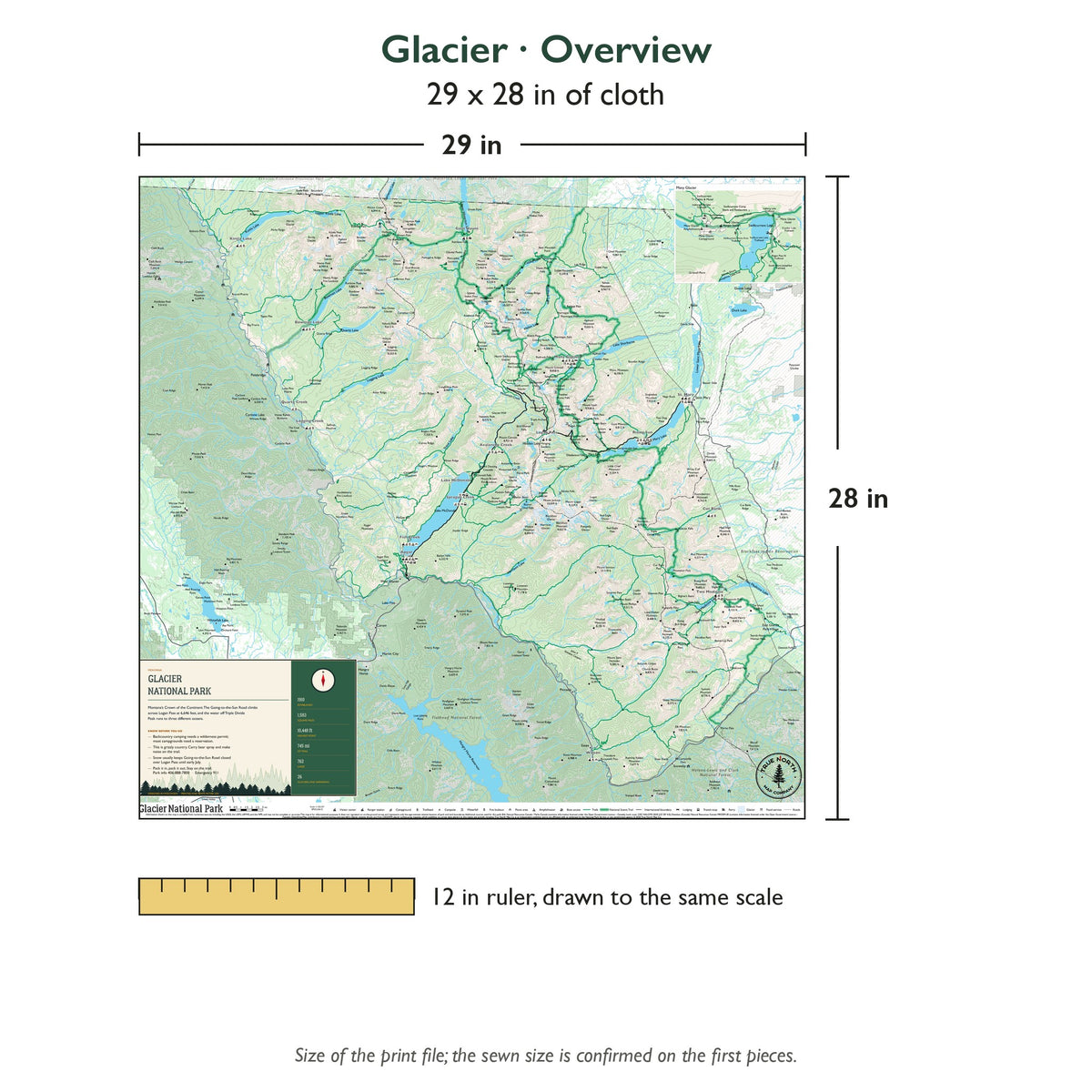
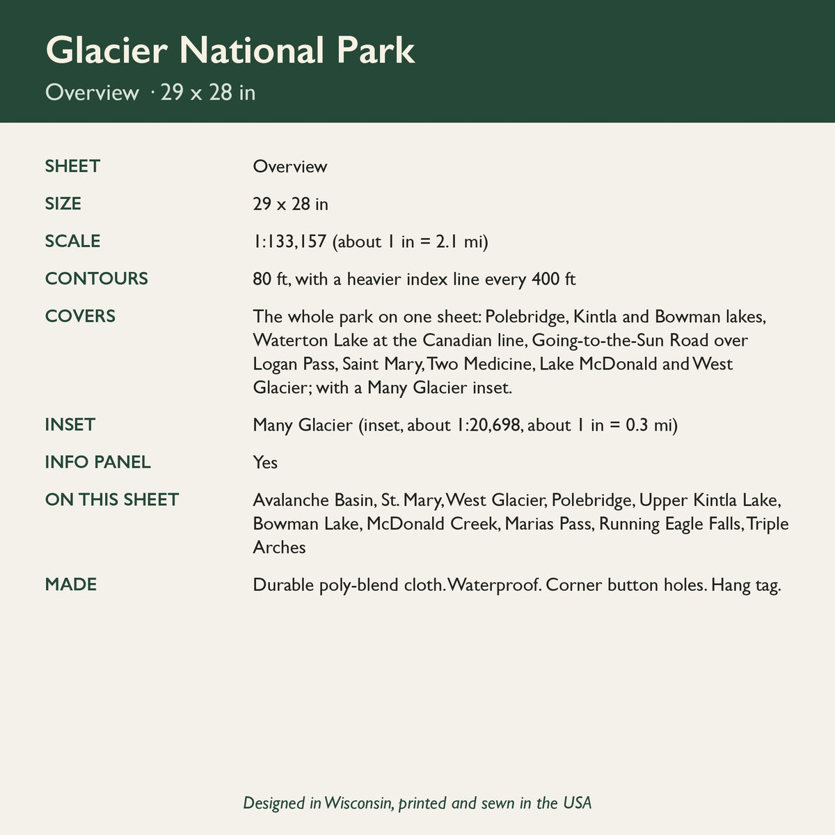
Overview (29 x 28 in, about 1 inch = 2.1 miles): the whole park on one sheet, from Polebridge and Waterton Lake to Two Medicine and West Glacier, with our info panel and a Many Glacier inset.
-
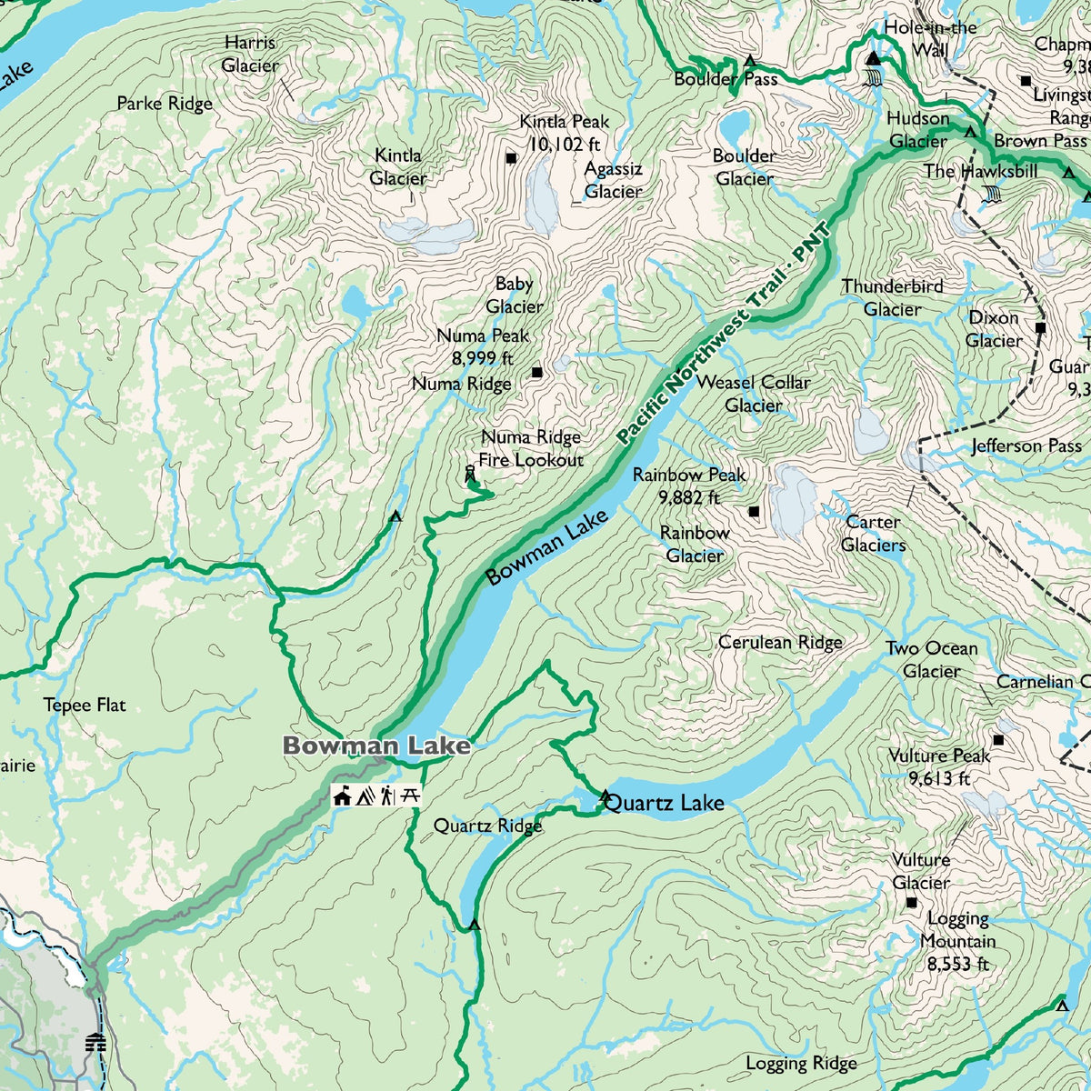
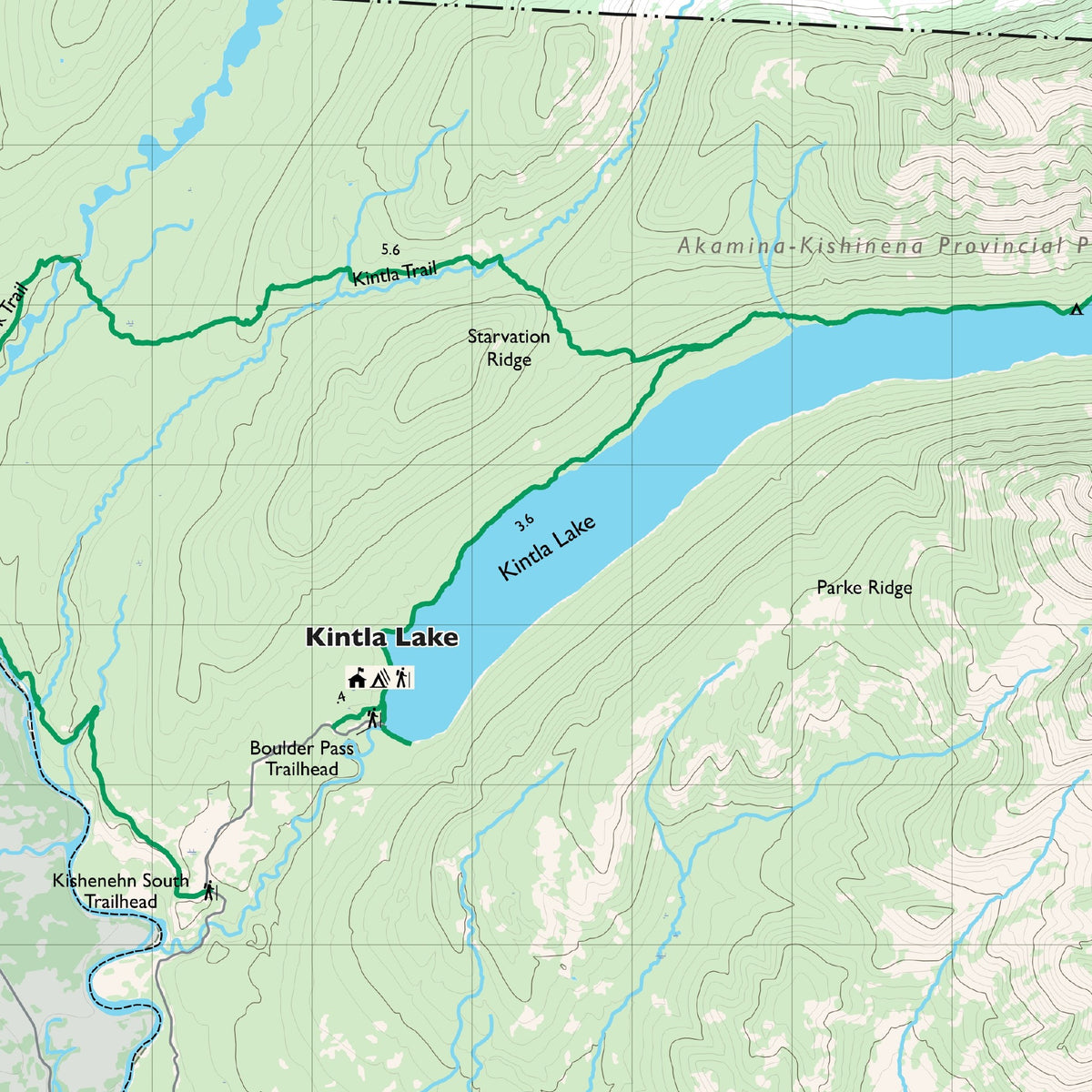
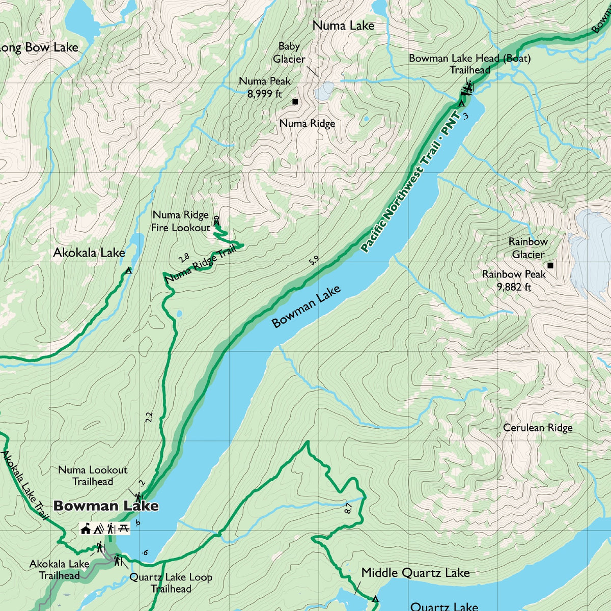
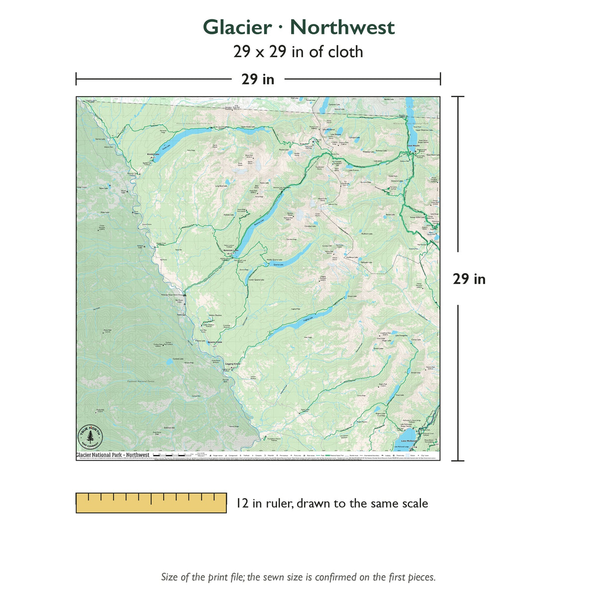
Northwest (29 x 29 in, 1 inch = 1 mile): the North Fork side: Polebridge, Kintla, Bowman, Logging and Quartz lakes, east to Goat Haunt and Upper Waterton Lake.
-
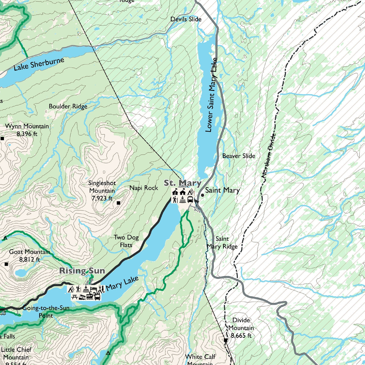
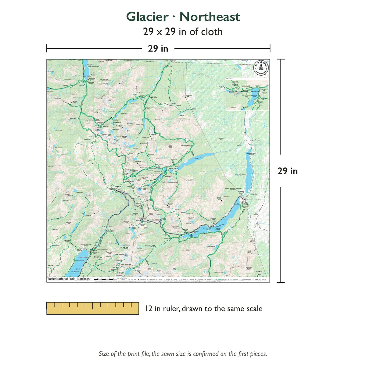
Northeast (29 x 29 in, 1 inch = 1 mile): Logan Pass and the east side: Going-to-the-Sun Road down to Saint Mary Lake, Grinnell Glacier, the Highline Trail, Babb and Chief Mountain, with a Many Glacier inset.
-
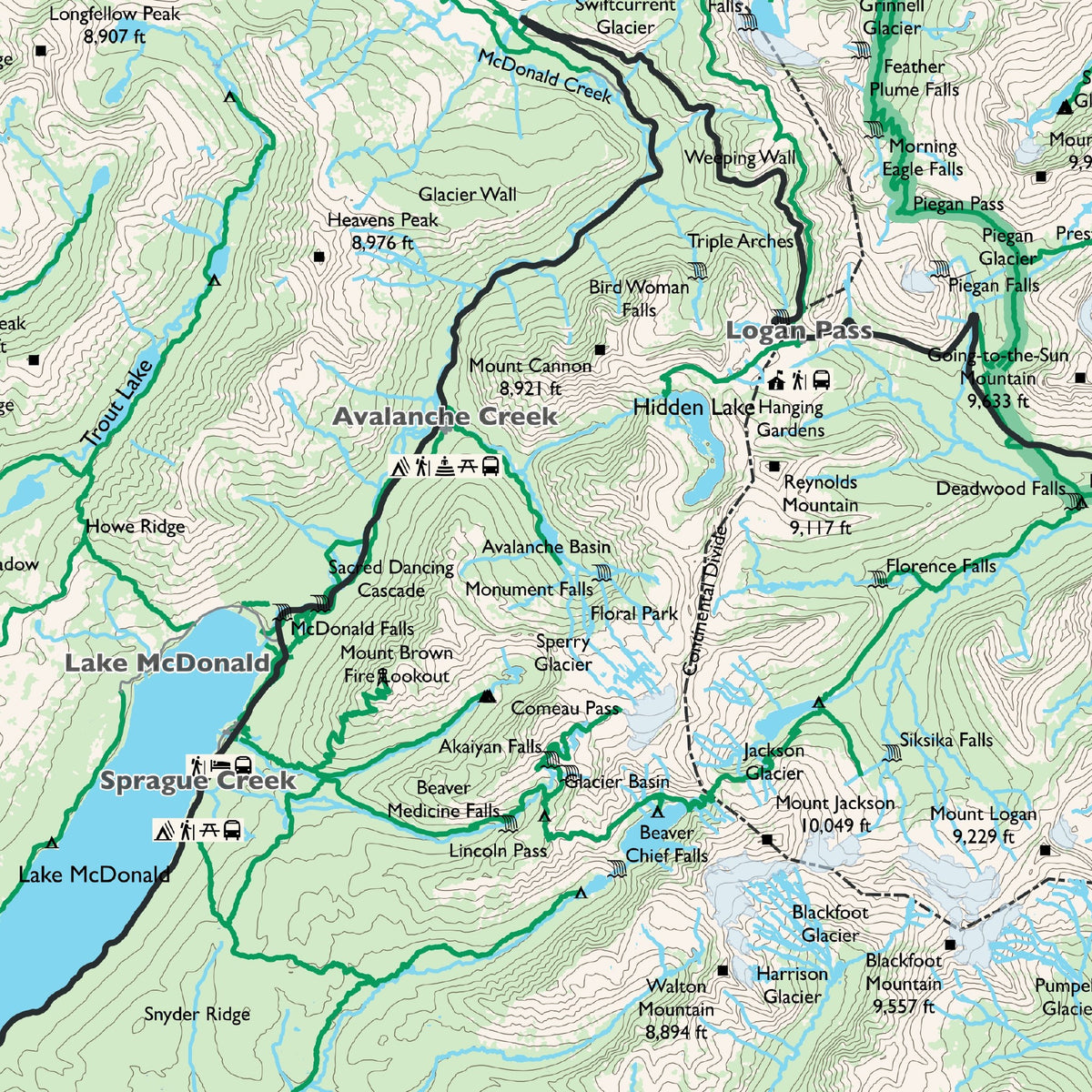
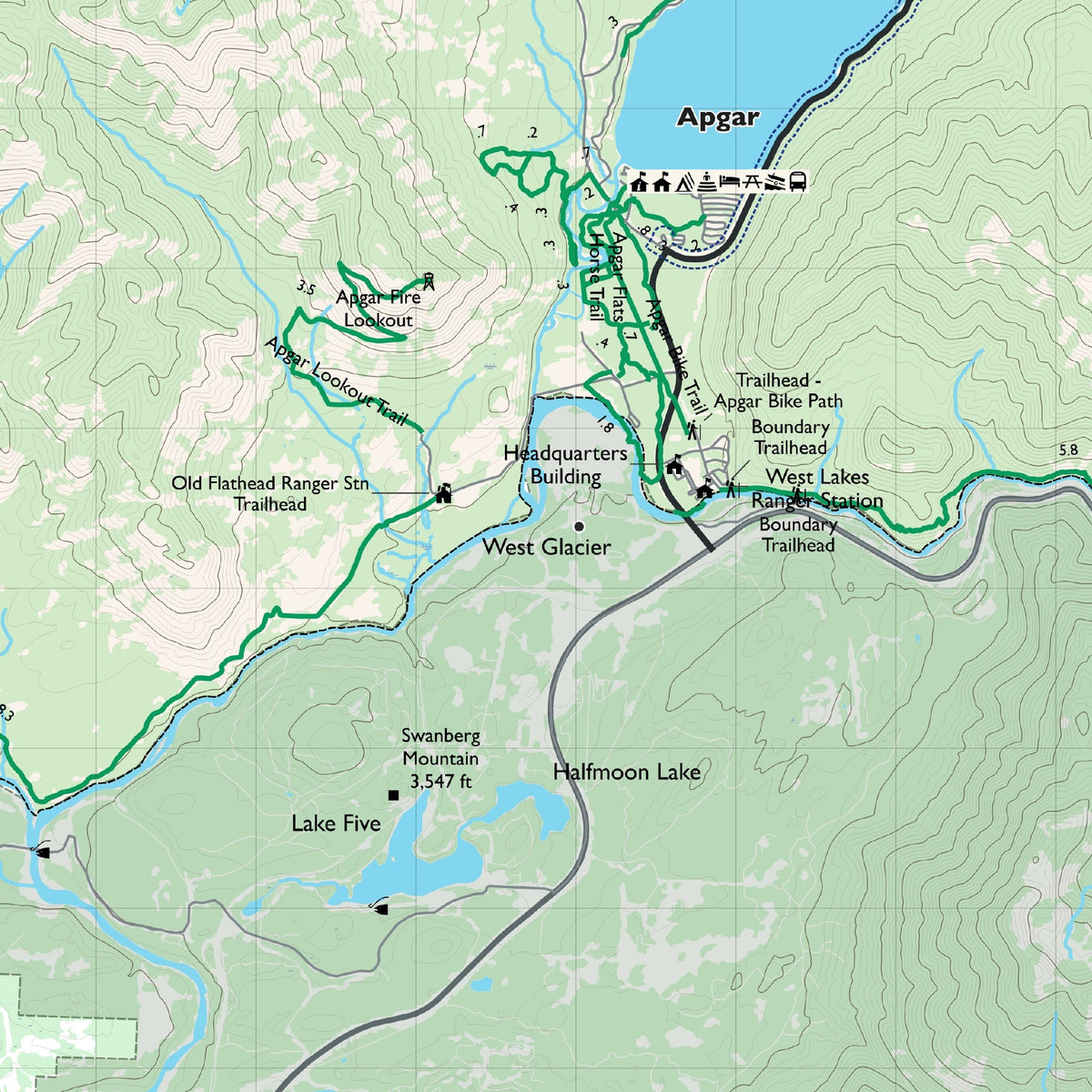
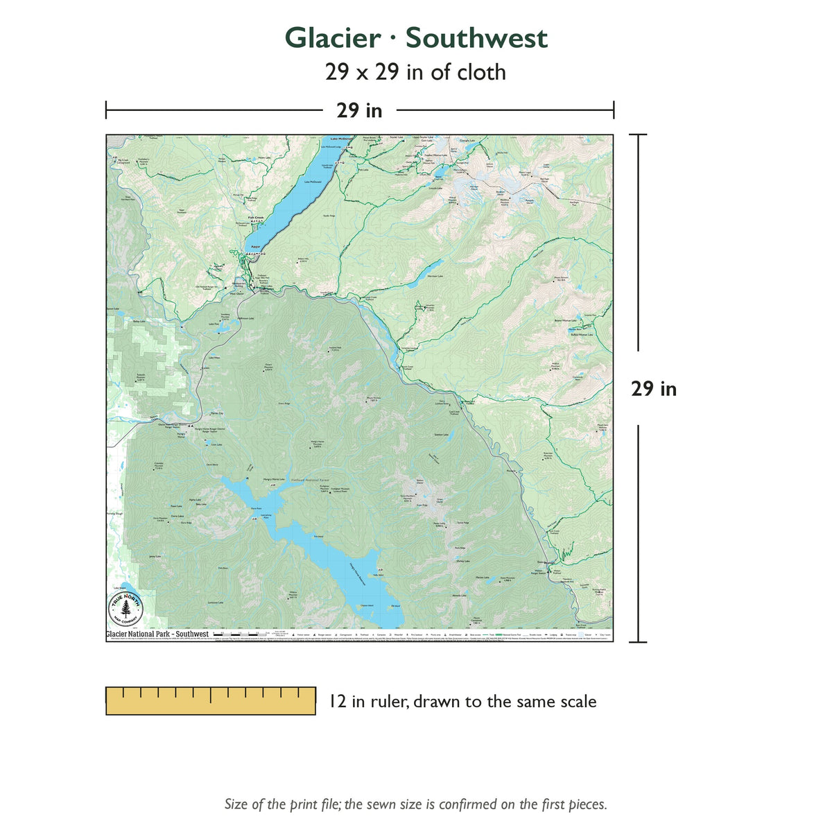
Southwest (29 x 29 in, 1 inch = 1 mile): Lake McDonald and the southwest: Apgar, West Glacier, Lake McDonald Lodge and Sperry Chalet, south along the Middle Fork to Essex, with Hungry Horse Reservoir.
-
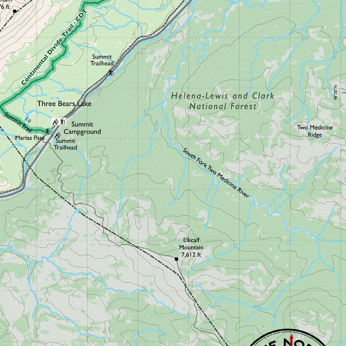
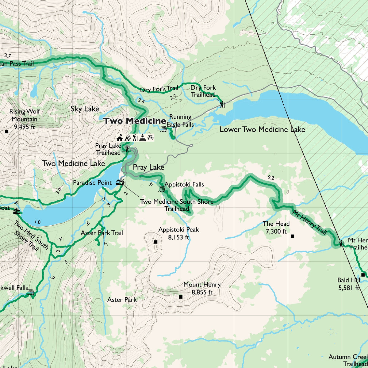
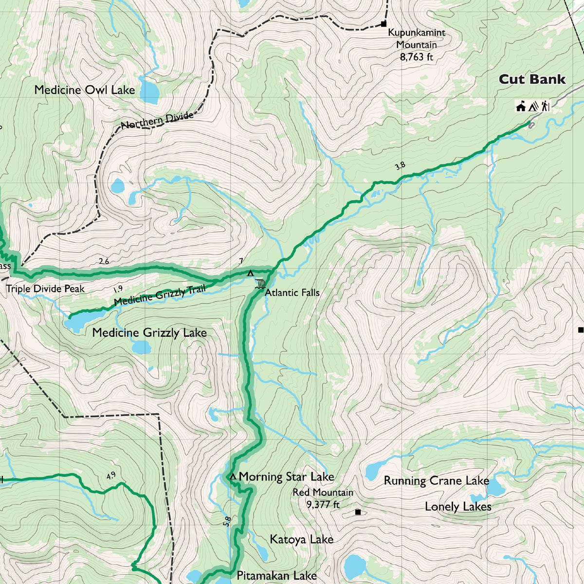
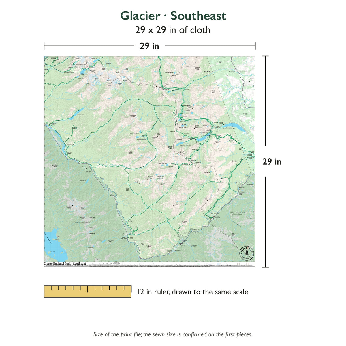
Southeast (29 x 29 in, 1 inch = 1 mile): Two Medicine and the south: Two Medicine lakes, Triple Divide Peak, Mount Stimson, Marias Pass and East Glacier Park Village.
Material: 100% polyester cloth, moisture wicking, smooth finish.
Water and wear: Waterproof and tear-resistant: survives rain, spray and accidental submersion. Folds and stuffs into a pack without damaging the map. Mark your route with a Sharpie or a fabric marker. Machine wash cool on a gentle cycle. No bleach. Line dry or tumble dry low.
Hanging: Corner button holes let you lash the map to a pack or thwart, or hang it on a wall.
Origin: Designed in Wisconsin, printed and sewn in the USA.
Want every sheet? See the Glacier National Park Cloth Map Set.
True North Map Co. is an independent map publisher and is not affiliated with, endorsed by, or sponsored by the National Park Service, U.S. Forest Service, U.S. Fish & Wildlife Service, Bureau of Land Management, the U.S. Department of the Interior, or any other government agency. Park and place names are used for identification purposes only.