True North Map Co
Chiricahua National Park Cloth Map
Chiricahua National Park Cloth Map
Couldn't load pickup availability
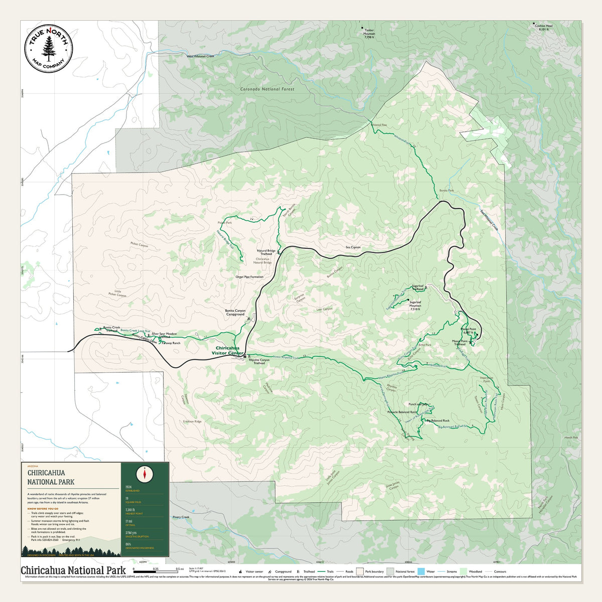
Chiricahua is a wonderland of rocks: thousands of rhyolite pinnacles and balanced boulders, carved from the ash of a volcanic eruption 27 million years ago, rising from a sky island in southeast Arizona. We mapped the whole park on one sheet: 19 square miles, 17 miles of trail, and a high point of 7,310 feet.
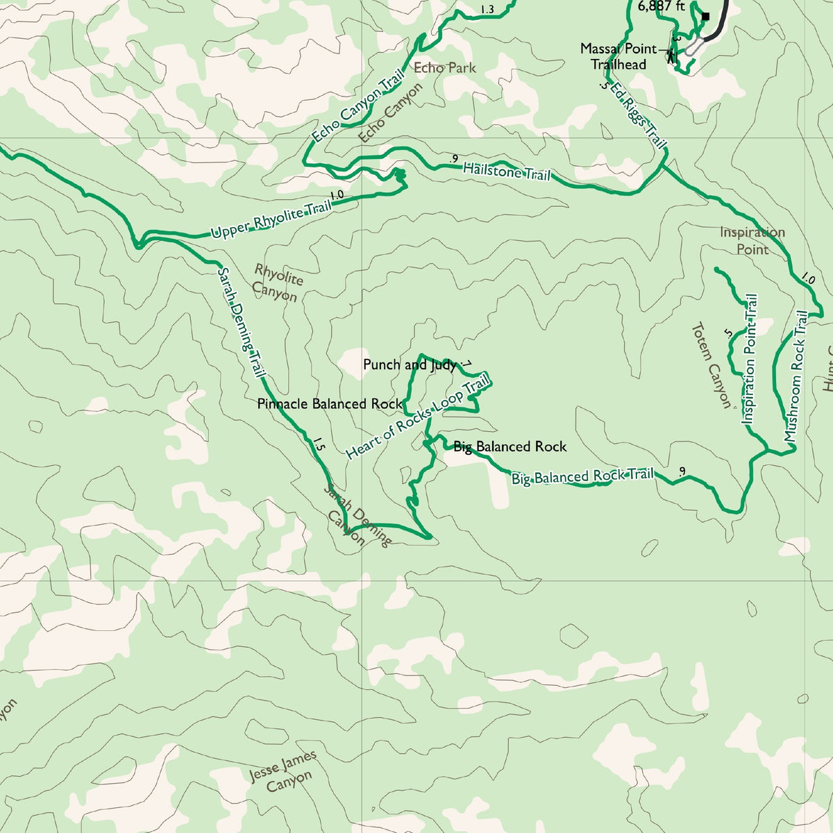
Names that print include Massai Point Trailhead, Sugarloaf Mountain, Echo Canyon Trail, Heart of Rocks Loop Trail, Big Balanced Rock Trail and Faraway Ranch. The sheet carries our info panel and a 1-mile UTM grid. Look for Chiricahua Natural Bridge, Rhyolite Canyon Trailhead, Inspiration Point Trail, Echo Park and Bonita Canyon Campground too.
New map, printing this winter. Join the waitlist on this page and we'll email you the day it's in stock.
The sheet:
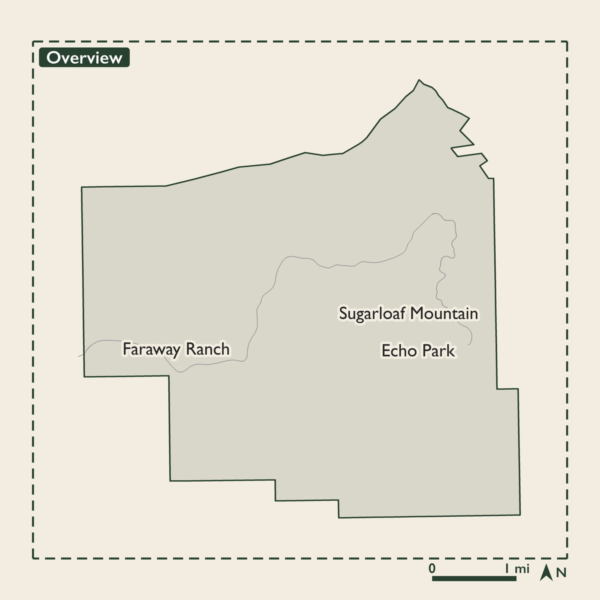
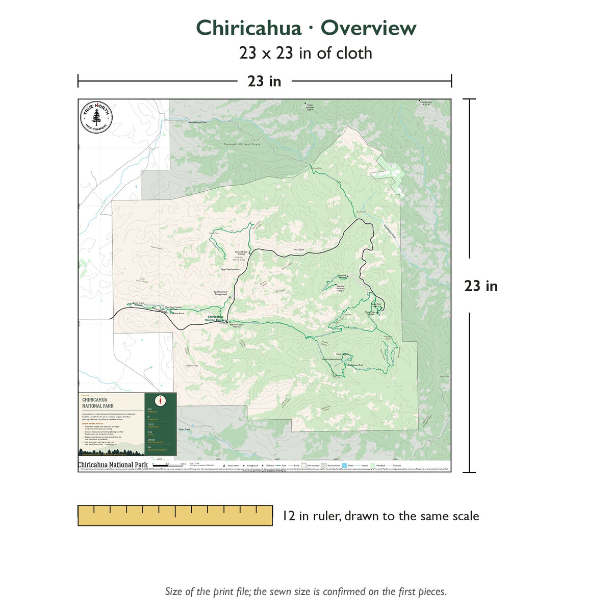
- Overview (23 x 23 in, about 1 inch = 0.3 miles): the whole park, with our info panel. It covers the Bonita Canyon Drive up to Massai Point, Echo Canyon, the Heart of Rocks and Big Balanced Rock, Sugarloaf Mountain, Faraway Ranch and Bonita Canyon Campground.
Material: 100% polyester cloth, moisture wicking, smooth finish.
Water and wear: Waterproof and tear-resistant: survives rain, spray and accidental submersion. Folds and stuffs into a pack without damaging the map. Mark your route with a Sharpie or a fabric marker. Machine wash cool on a gentle cycle. No bleach. Line dry or tumble dry low.
Hanging: Corner button holes let you lash the map to a pack or thwart, or hang it on a wall.
Origin: Designed in Wisconsin, printed and sewn in the USA.
Data: Built from National Park Service, USGS, U.S. Forest Service and U.S. Fish & Wildlife Service data, plus OpenStreetMap contributors.
True North Map Co. is an independent map publisher and is not affiliated with, endorsed by, or sponsored by the National Park Service, U.S. Forest Service, U.S. Fish & Wildlife Service, Bureau of Land Management, the U.S. Department of the Interior, or any other government agency. Park and place names are used for identification purposes only.
Spot something wrong on this map? Let us know →
Share