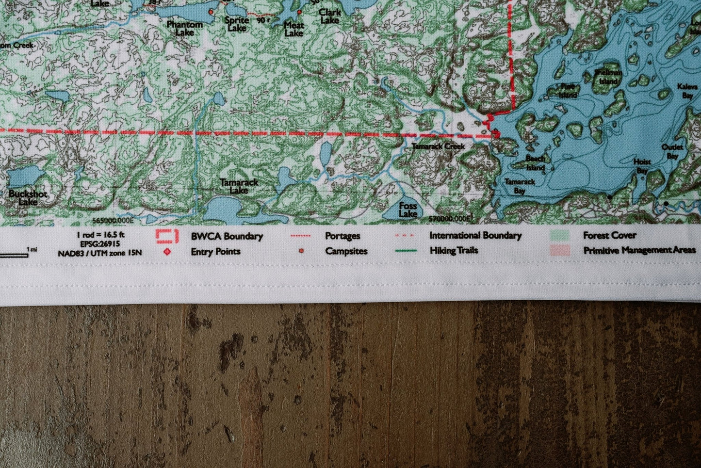
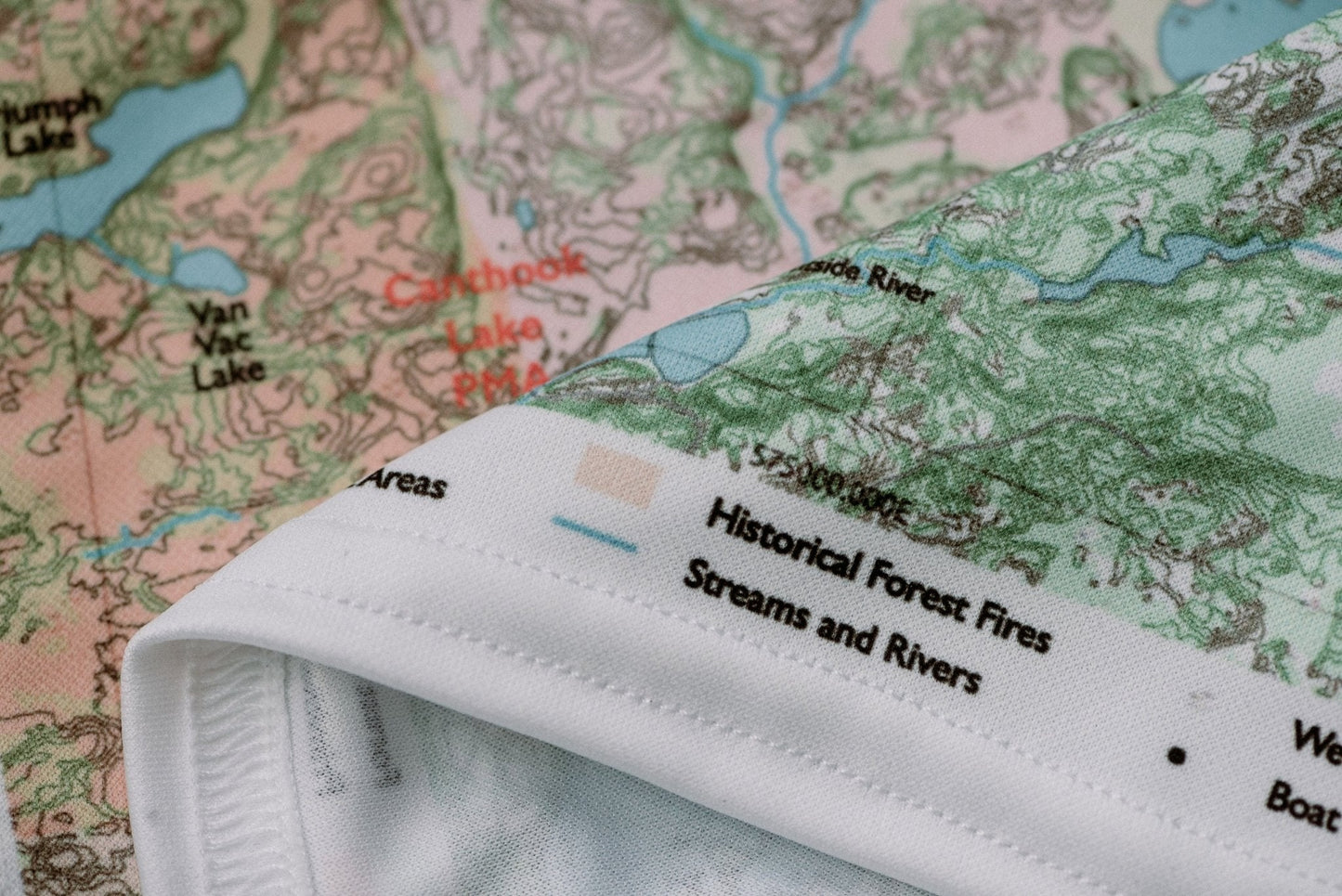
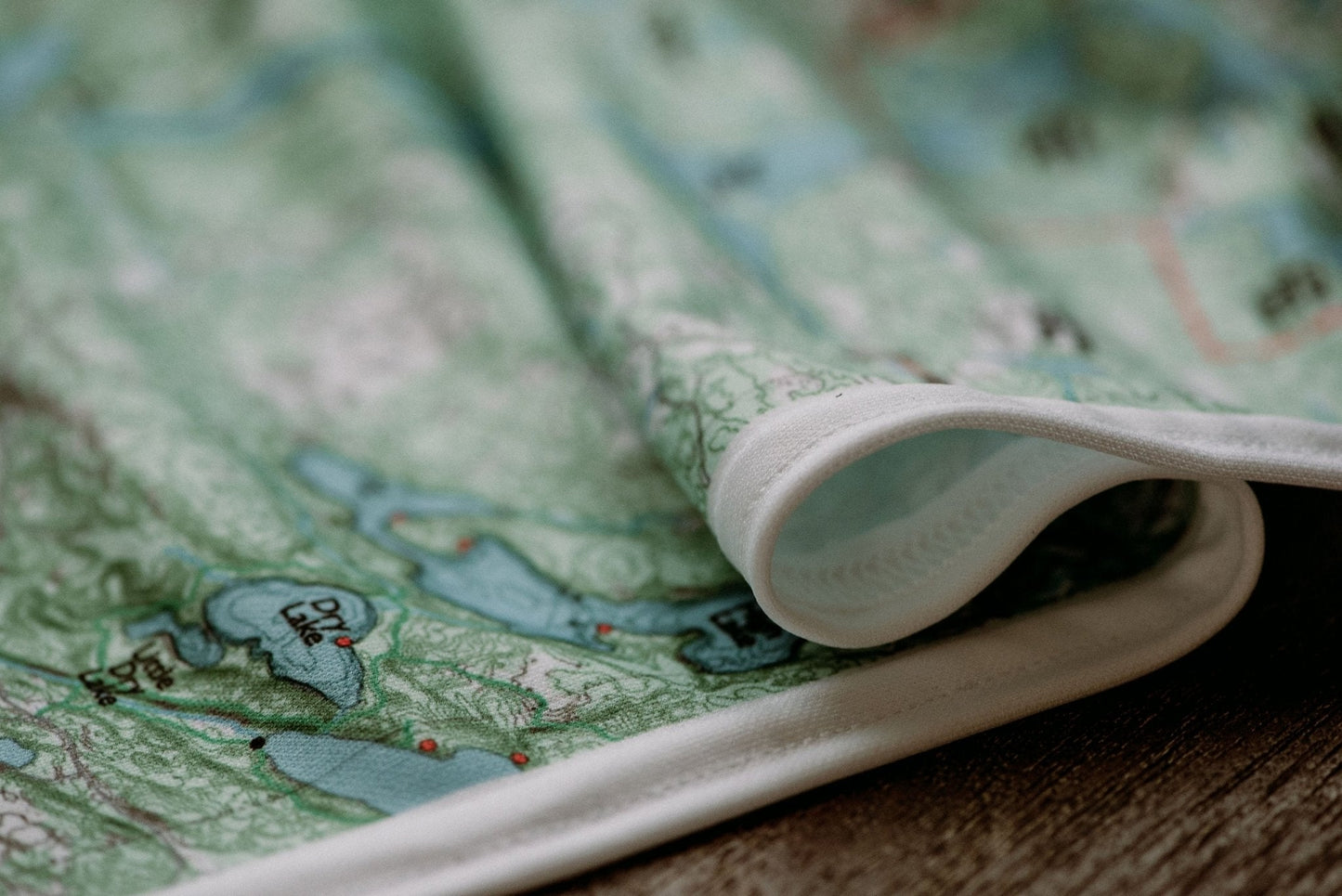
♻️Built to Last
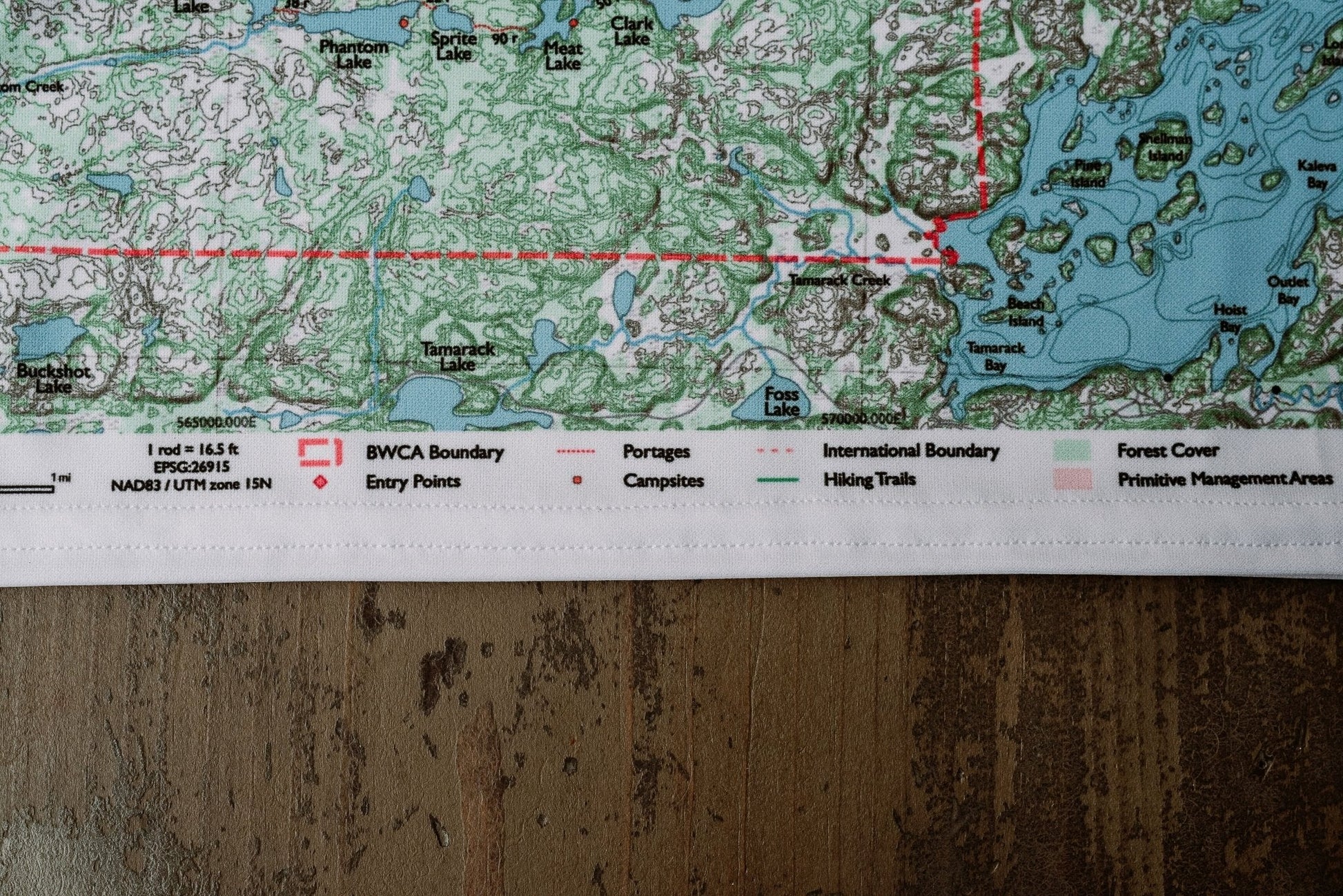
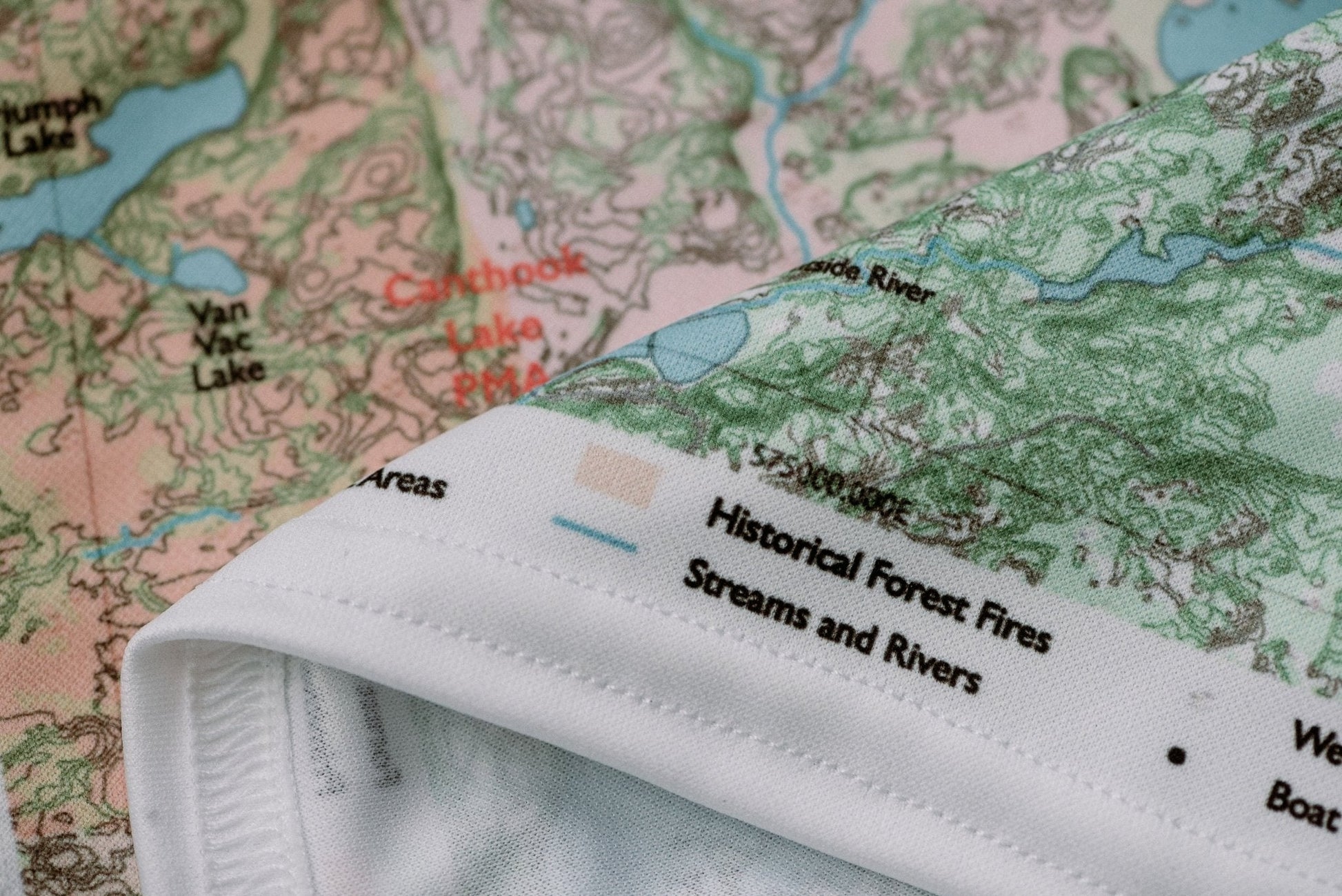
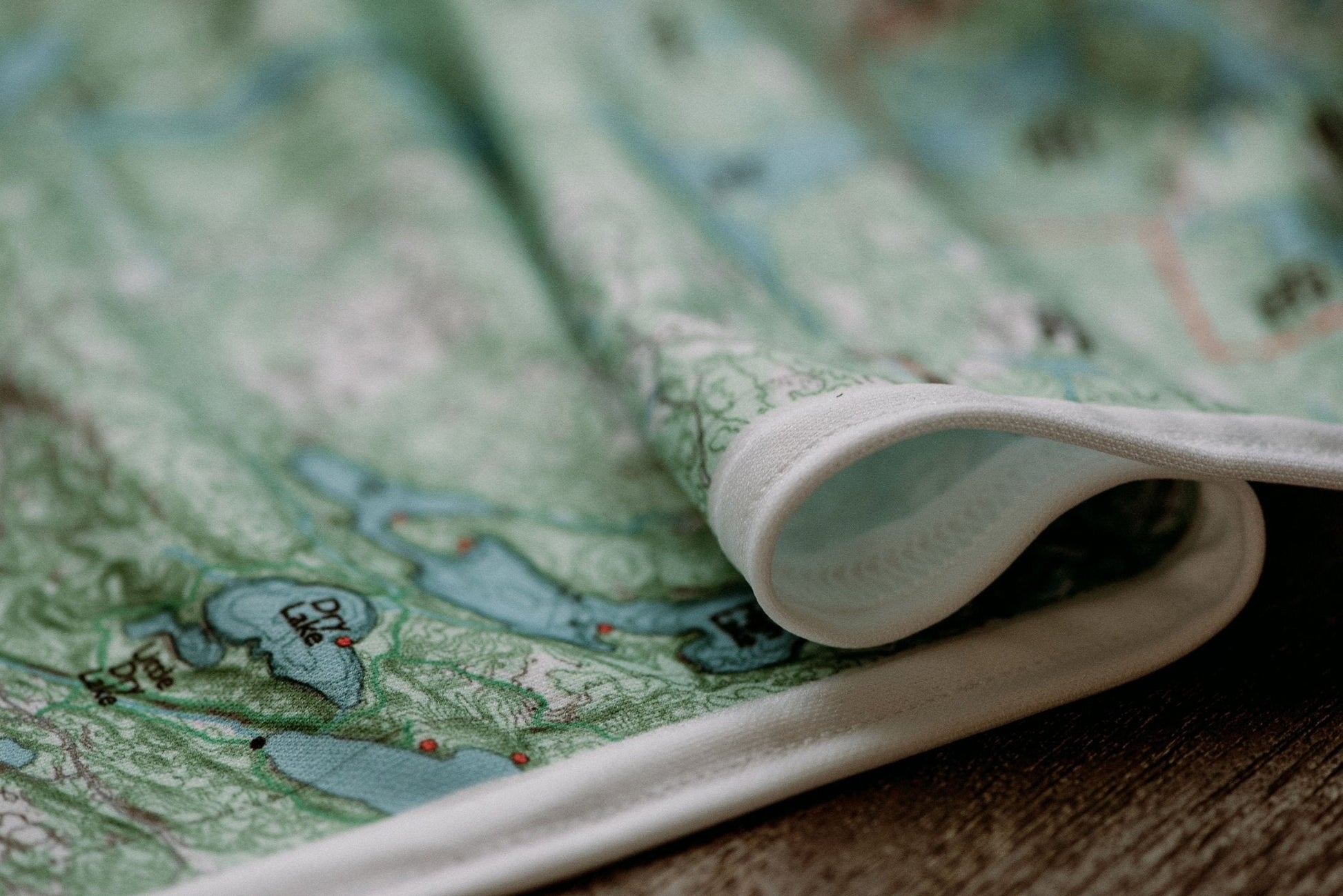
Durable cloth maps designed for years of use, not single trips
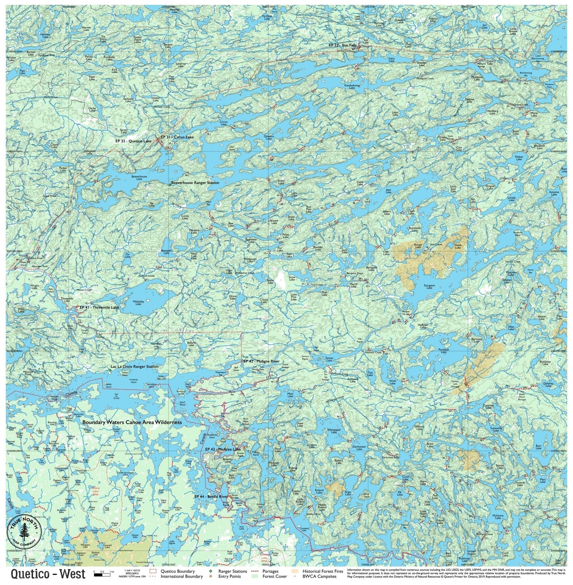
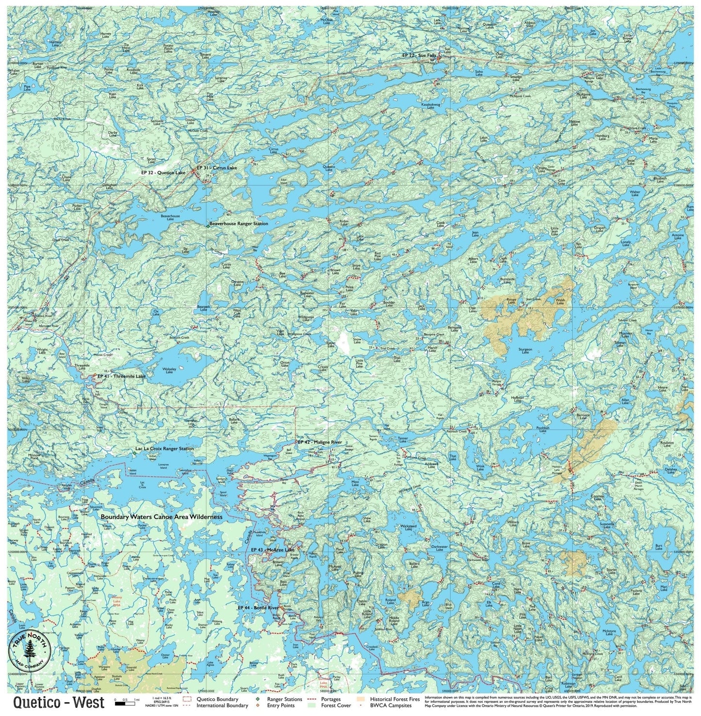
The central-western interior of Quetico is anchored by the lake the park is named for — Quetico Lake — and the Beaverhouse corridor that runs through Ontario's wild heart. This is quieter Quetico: fewer cross-border paddlers than the south, more open water, and the kind of trip where you might go two days without seeing another canoe. Entry is typically through the Quetico Lake chain (EP 32) or the Maligne River watershed (EPs 41–44).
Note: True North Quetico Maps do not include campsite data. Ontario Parks does not formally designate campsites in Quetico Provincial Park — you choose your own site. See FAQ for details.
Ranger Stations on this map: Beaverhouse · Lac La Croix
True North Map Co. is an independent map publisher and is not affiliated with, endorsed by, or sponsored by the National Park Service, U.S. Forest Service, U.S. Fish & Wildlife Service, Bureau of Land Management, the U.S. Department of the Interior, or any other government agency. Place and park names are used for identification purposes only.