♻️Built to Last
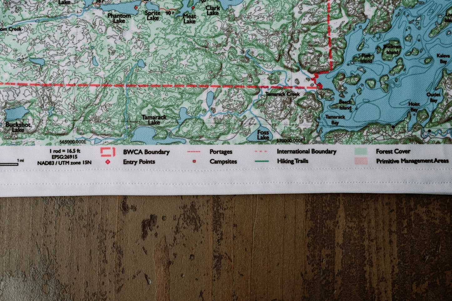
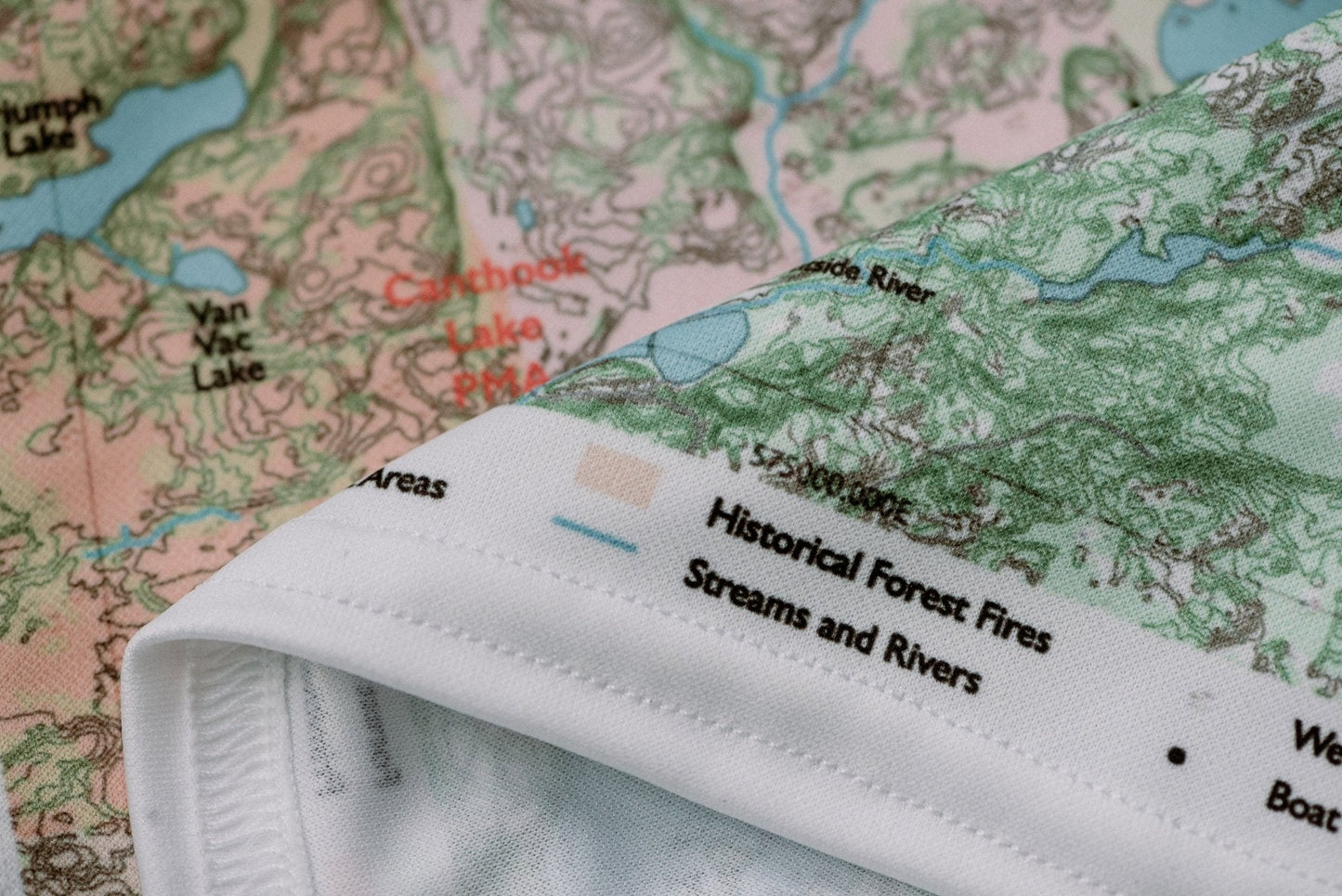
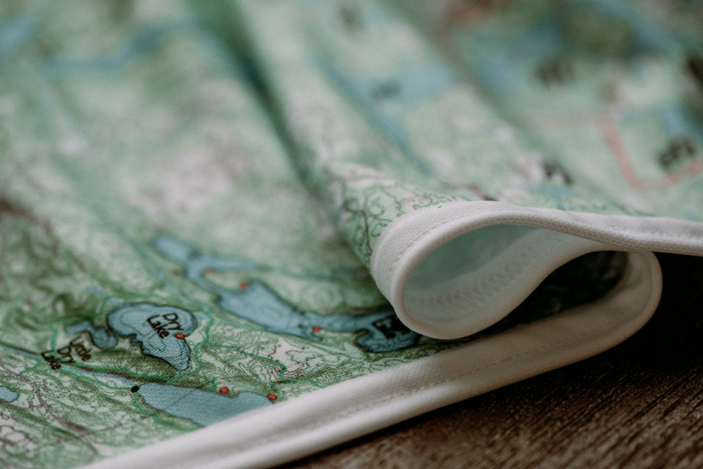
Durable cloth maps designed for years of use, not single trips
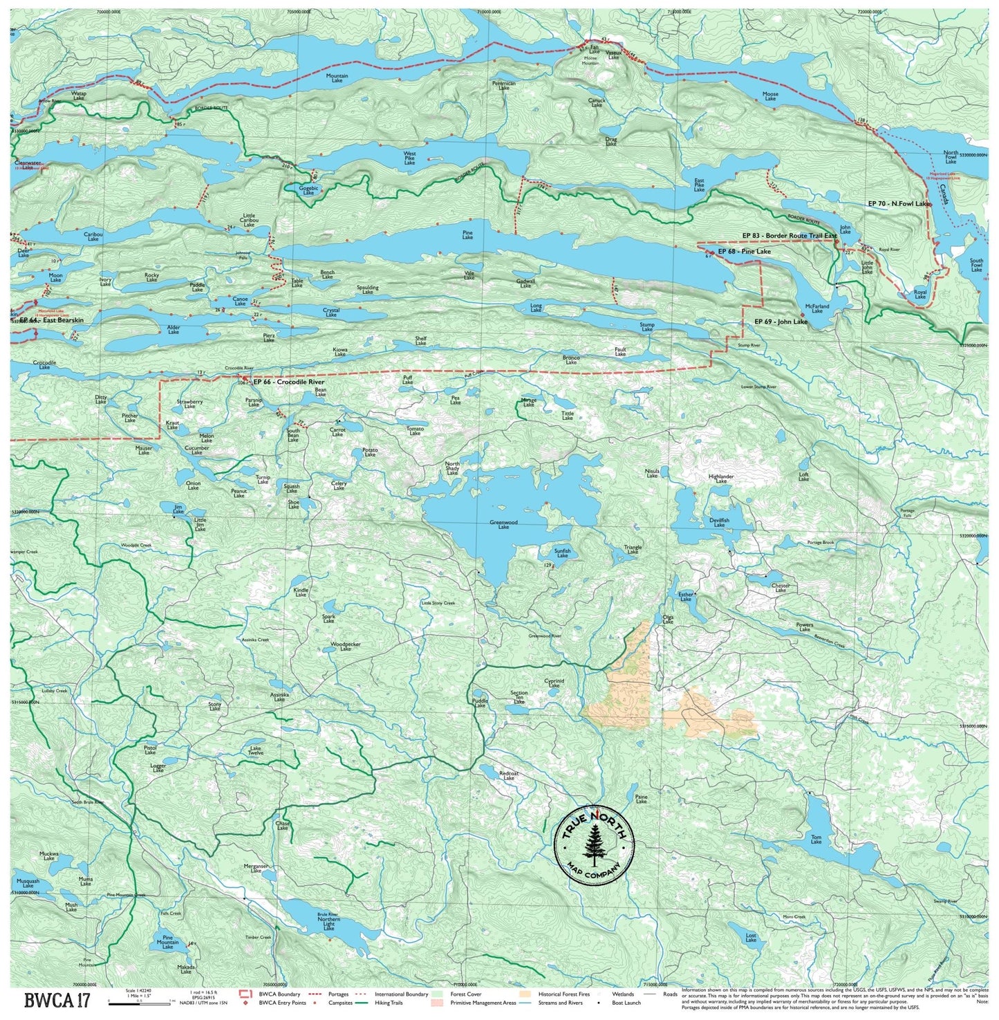
The far southeastern tip of the BWCA, where the boundary waters drain toward Lake Superior. Mountain Lake, McFarland Lake, and the North and South Fowl Lakes are wild, seldom-visited, and strikingly beautiful. This corner of the BWCA feels different from the rest — more boreal, more remote, farther from the outfitter towns. For paddlers who want to go where fewer have been.
True North Map Co. is an independent map publisher and is not affiliated with, endorsed by, or sponsored by the National Park Service, U.S. Forest Service, U.S. Fish & Wildlife Service, Bureau of Land Management, the U.S. Department of the Interior, or any other government agency. Place and park names are used for identification purposes only.