♻️Built to Last
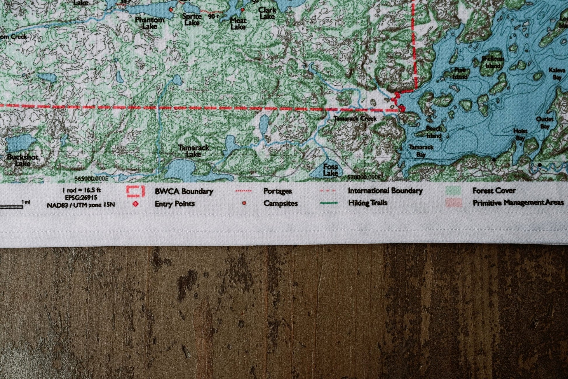
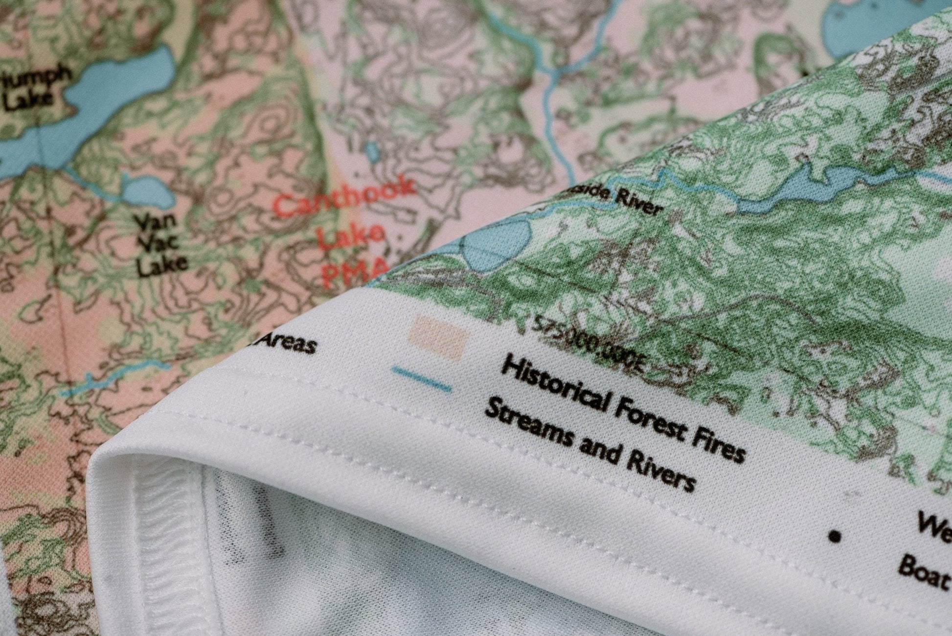
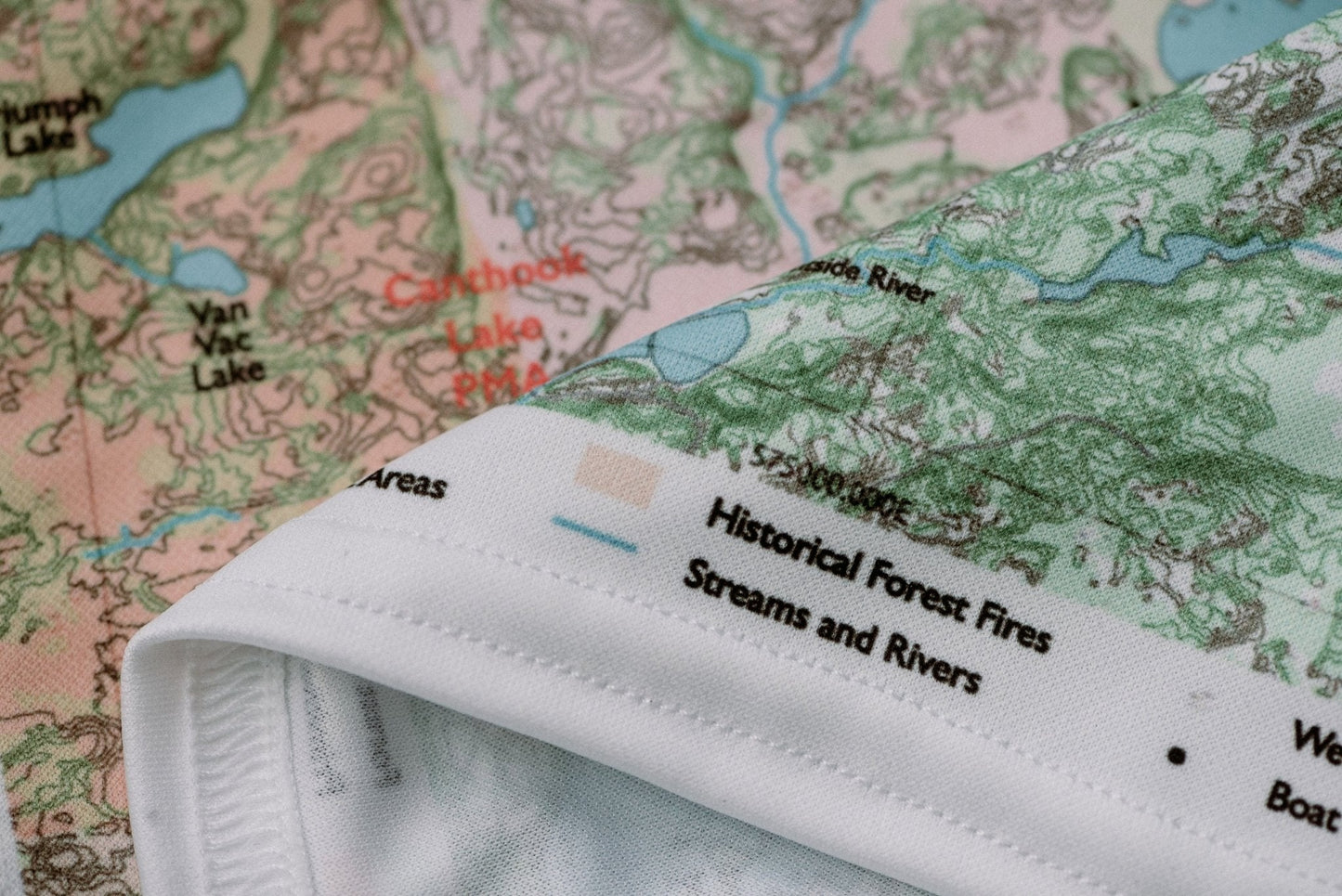
Durable cloth maps designed for years of use, not single trips
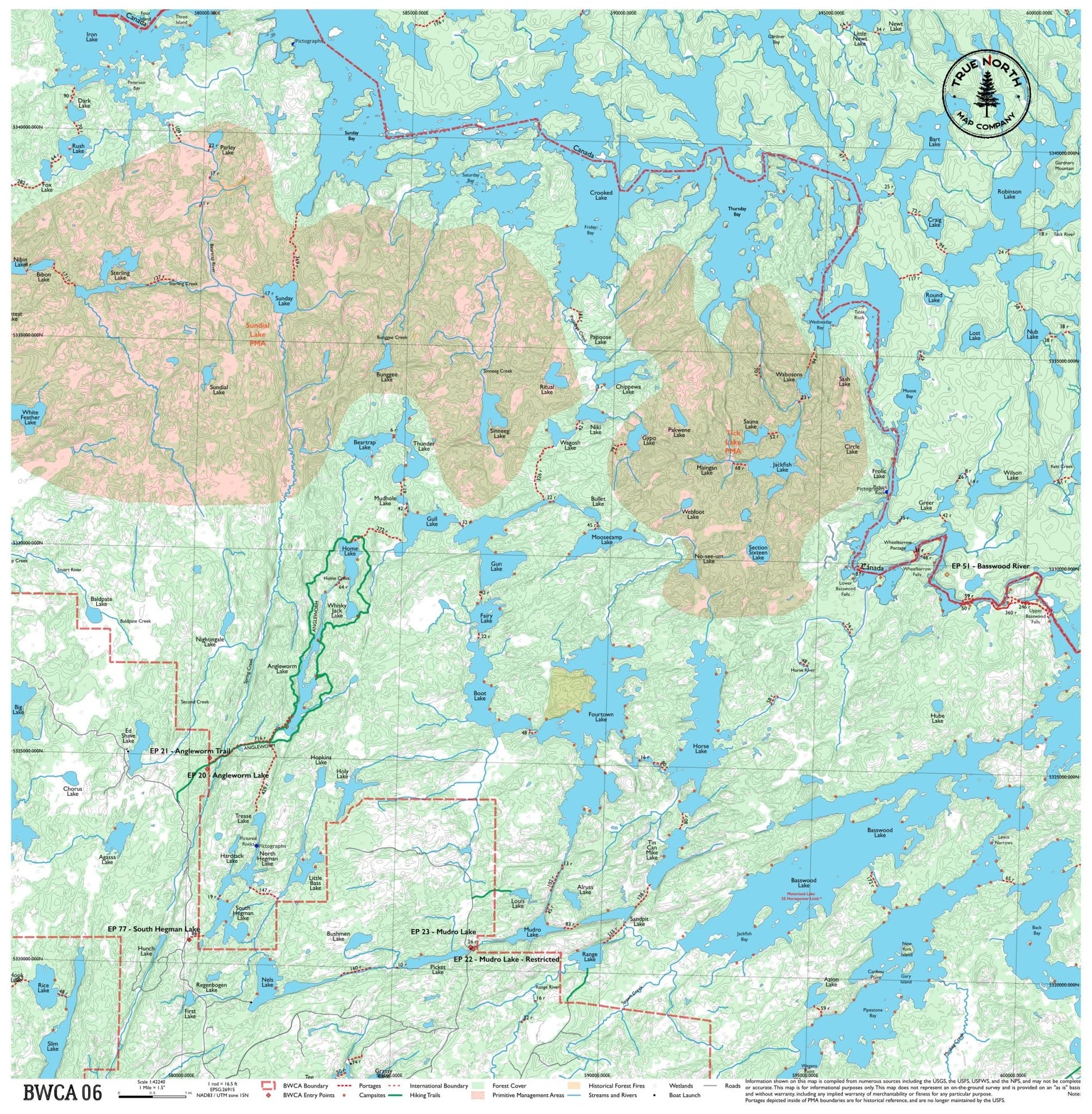
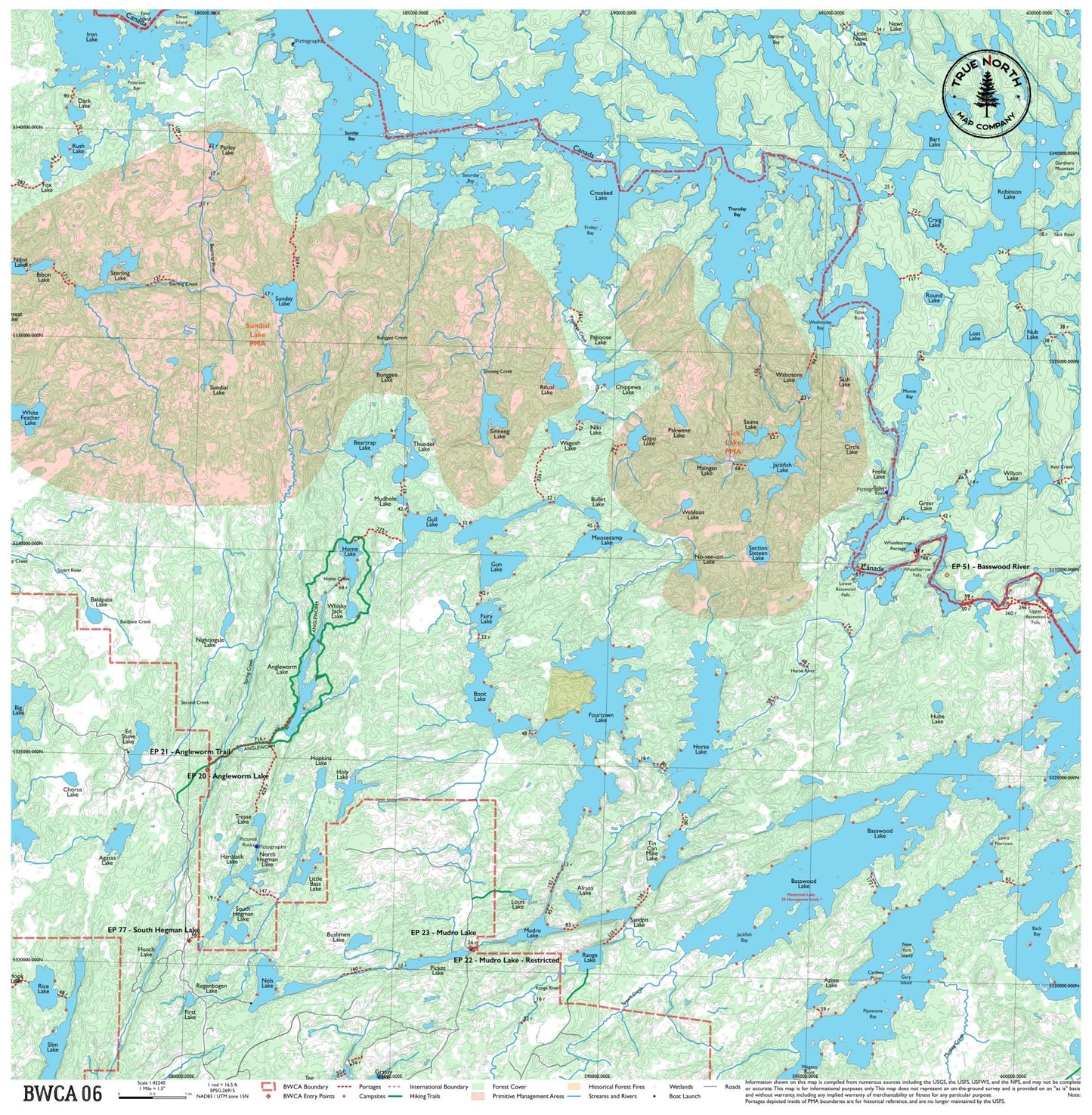
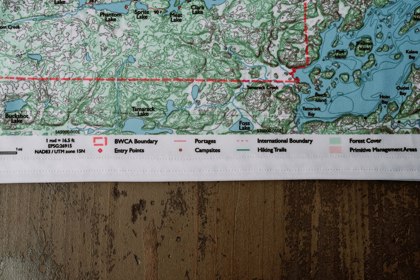
The Mudro Lake and Basswood Lake corridor — one of the most paddled stretches of the BWCA. This map covers the classic entry lakes north of Ely including Fourtown, Horse, and Iron Lake, with routes threading through the heart of the wilderness. It's heavily used but for good reason: the portages are manageable, the campsites are plentiful, and the scenery is classic canoe country.
True North Map Co. is an independent map publisher and is not affiliated with, endorsed by, or sponsored by the National Park Service, U.S. Forest Service, U.S. Fish & Wildlife Service, Bureau of Land Management, the U.S. Department of the Interior, or any other government agency. Place and park names are used for identification purposes only.