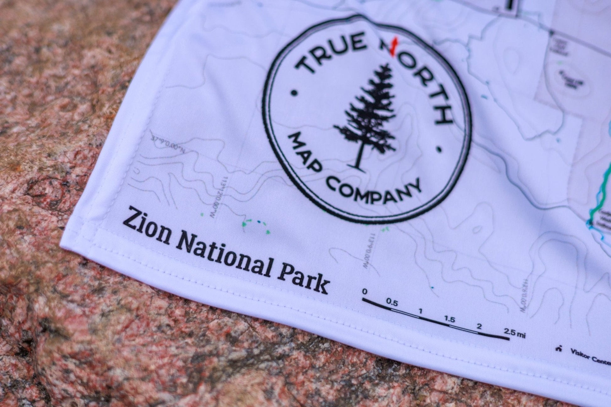
♻️Built to Last
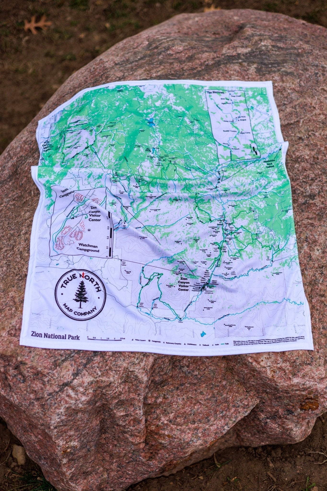
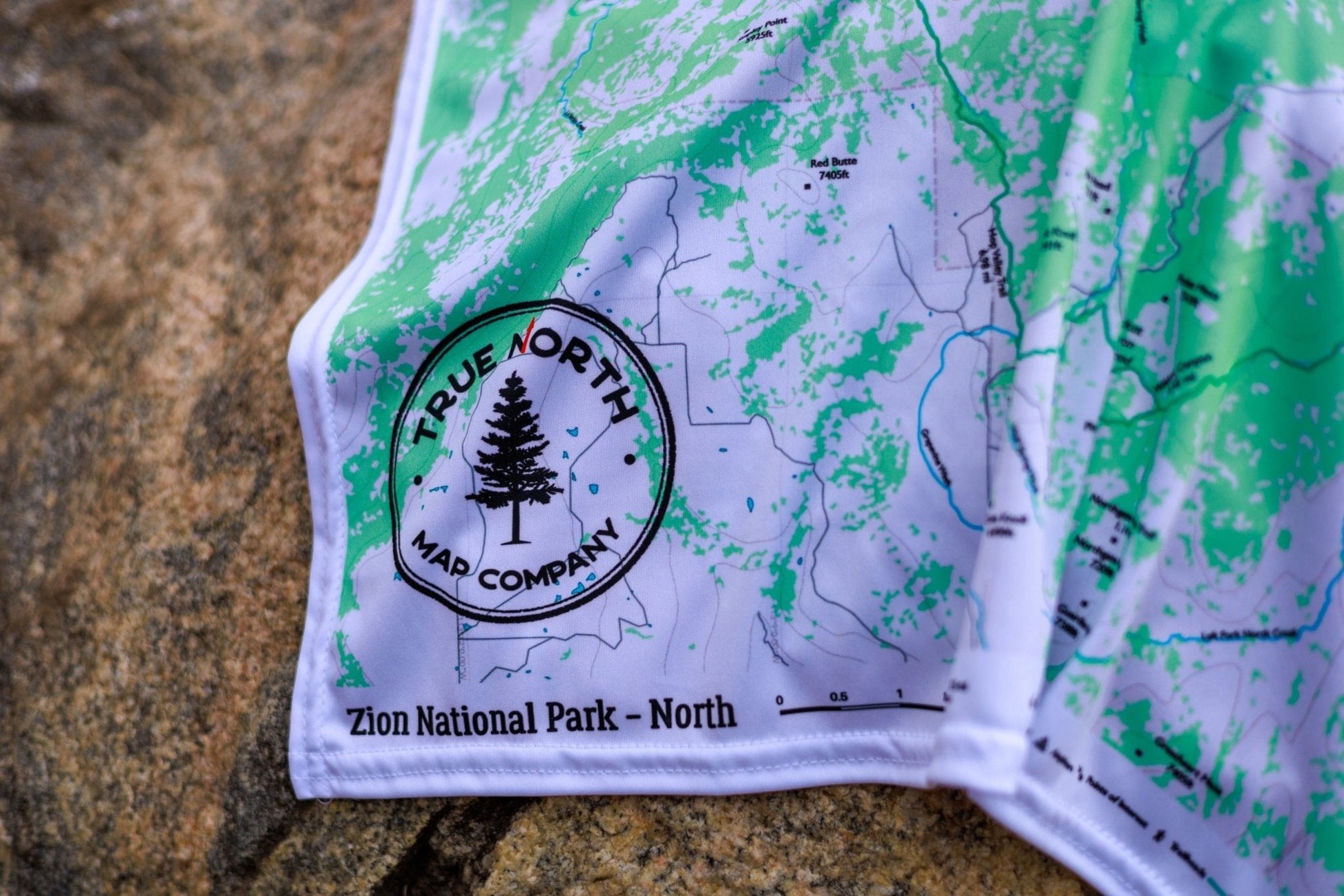
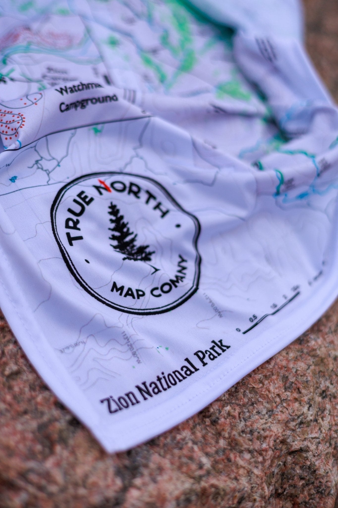
Durable cloth maps designed for years of use, not single trips
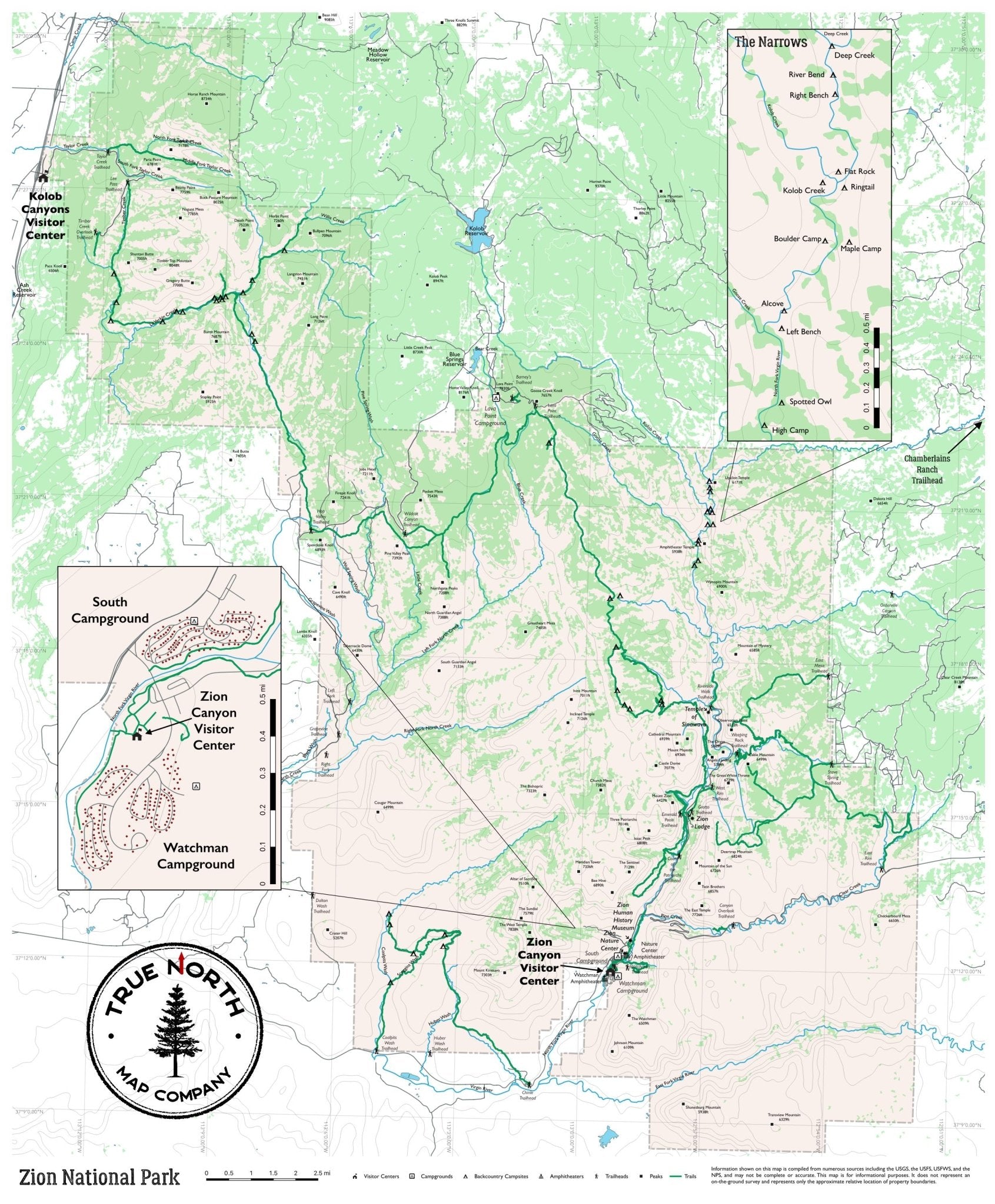
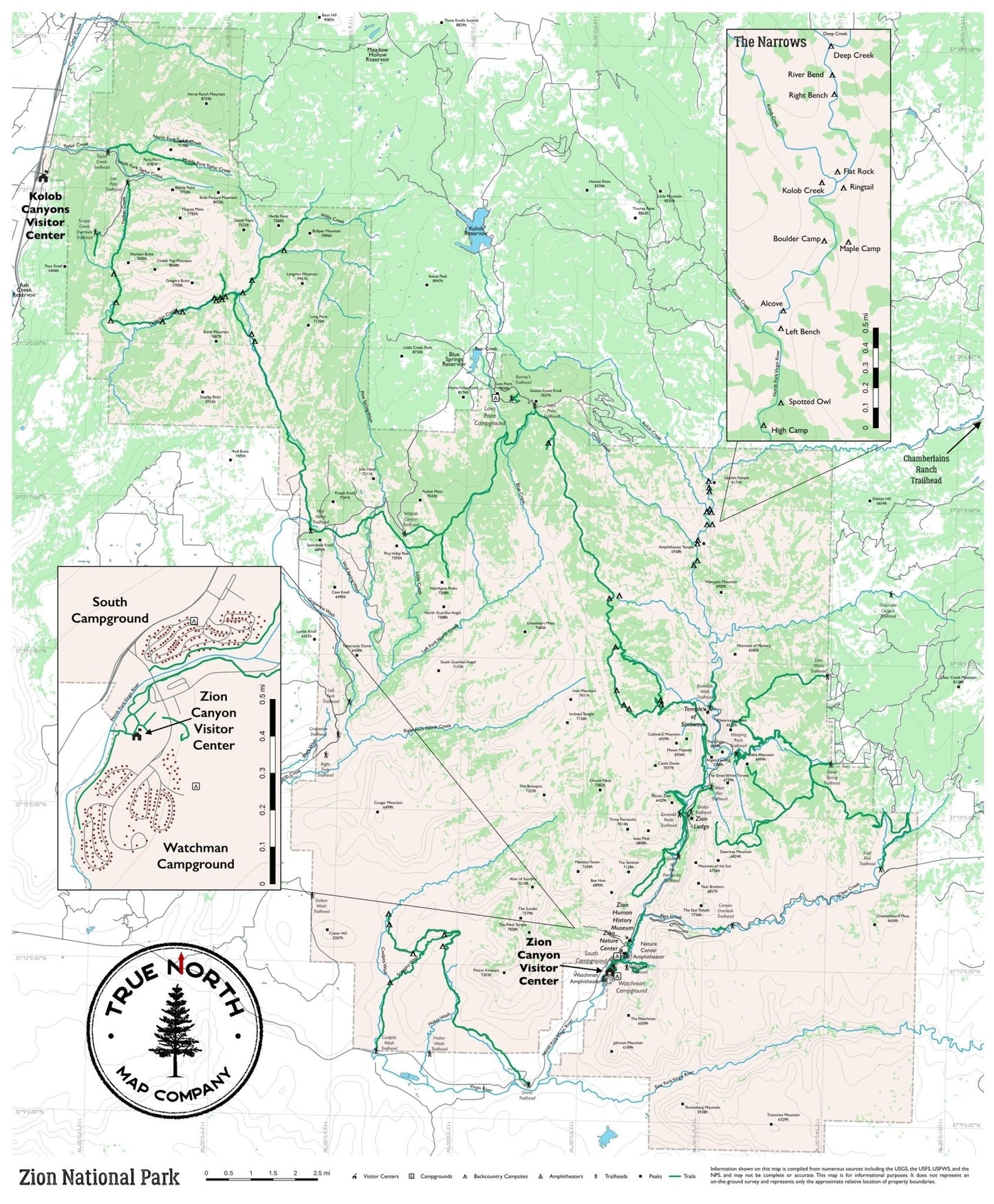
Zion is one of the most iconic hiking destinations in the American West — and one of the most complex to navigate. True North's Zion map series covers the entire park across three formats: a full-park Overview and detailed North and South regional maps, all printed on waterproof cloth built for canyon conditions.
The Overview (22.5" × 27") covers the full park from Kolob Canyons to the southern boundary — ideal for planning multi-day routes or understanding how the park's sections connect.
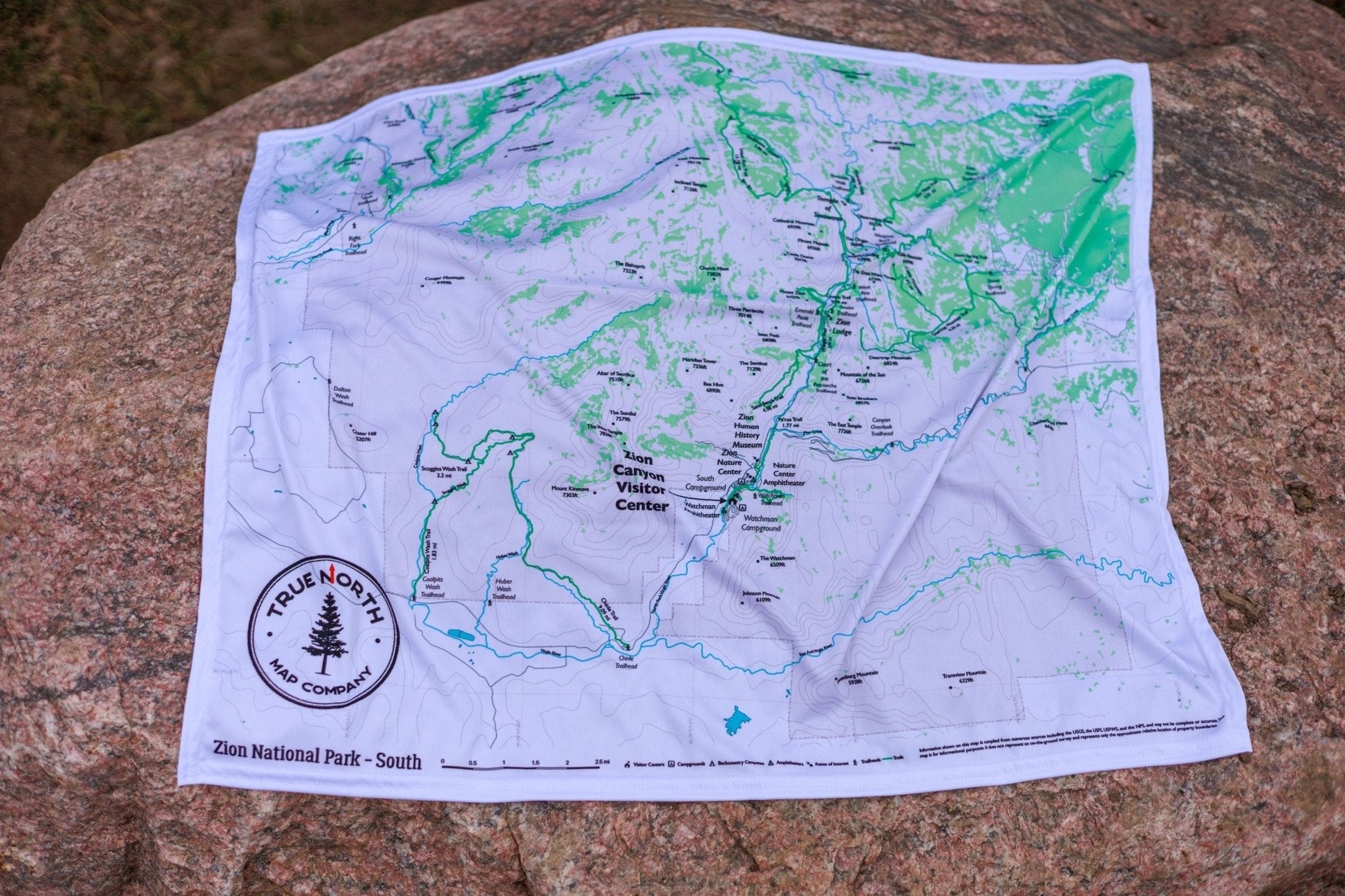
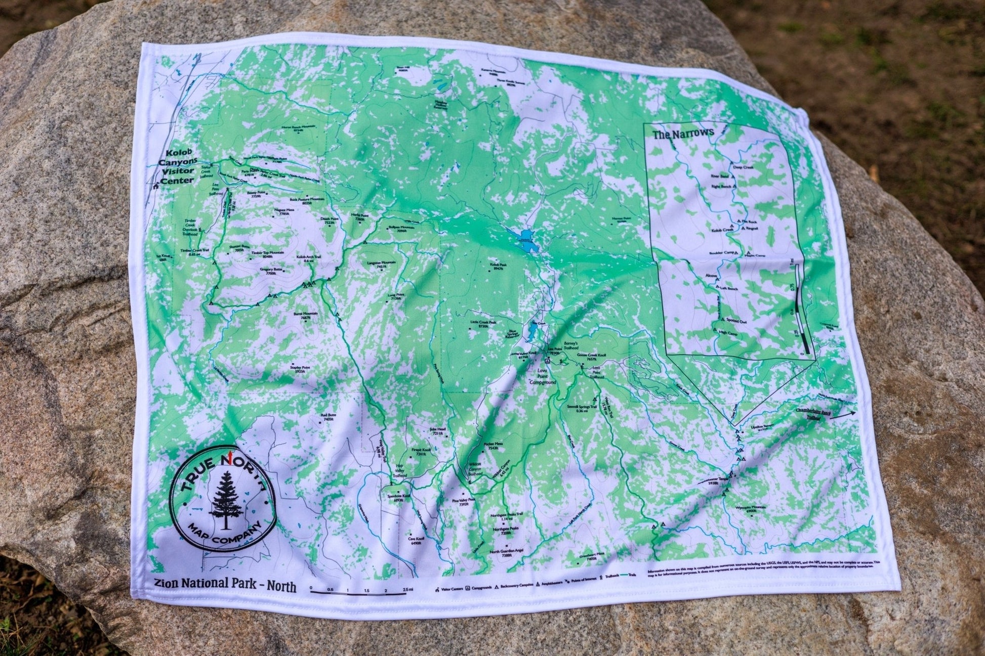
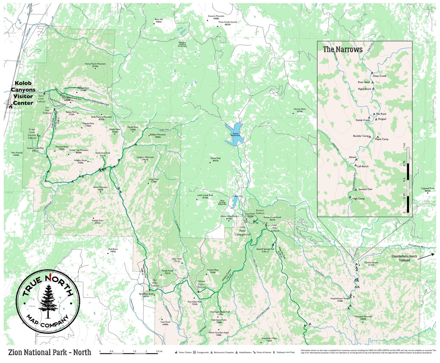
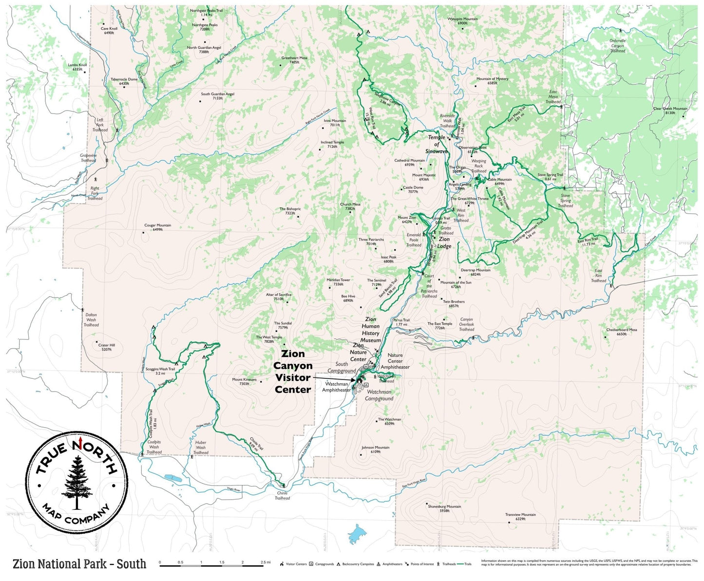
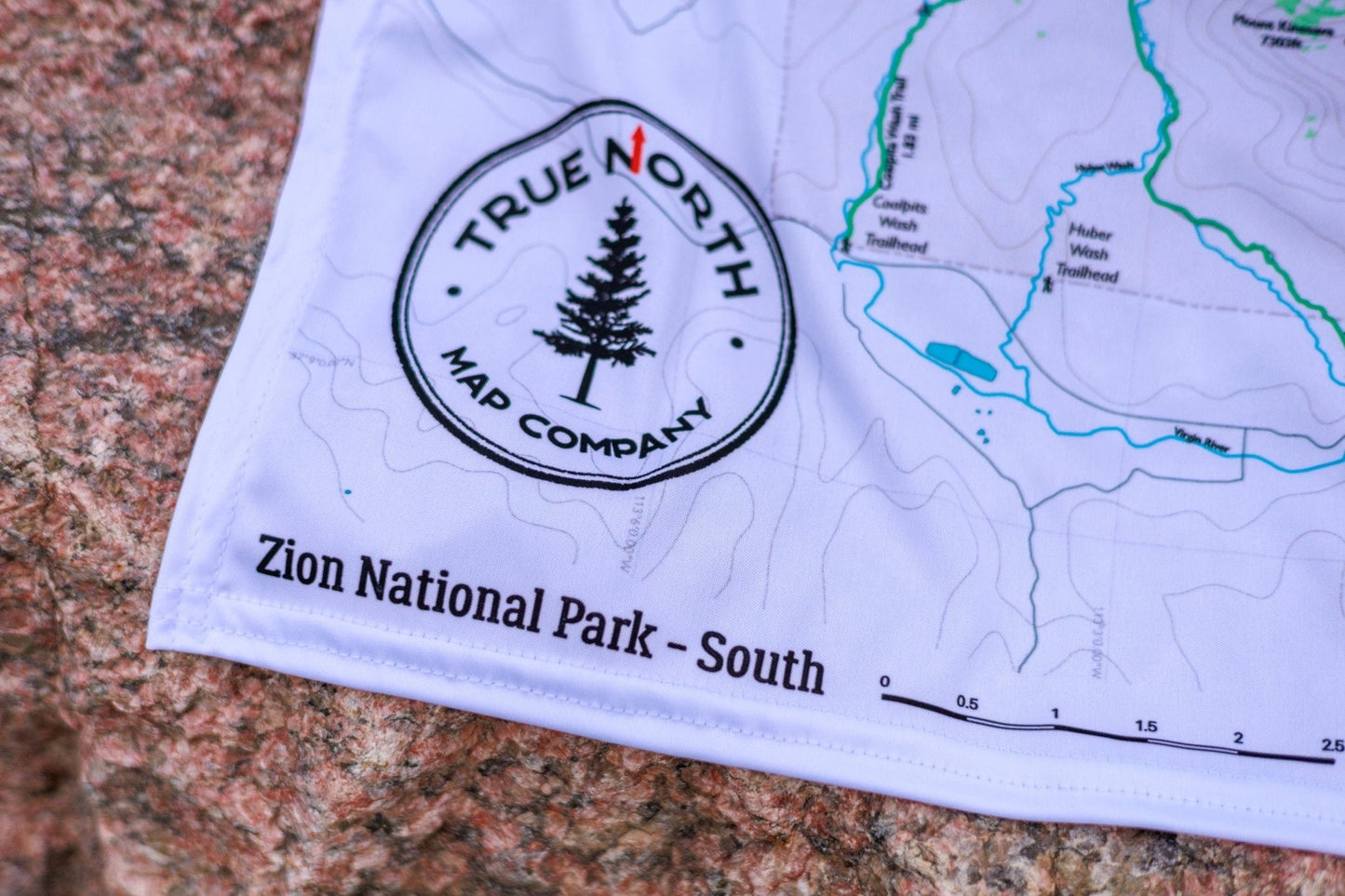
The two regional maps (27" × 22.5") give you full trail detail where you need it most:
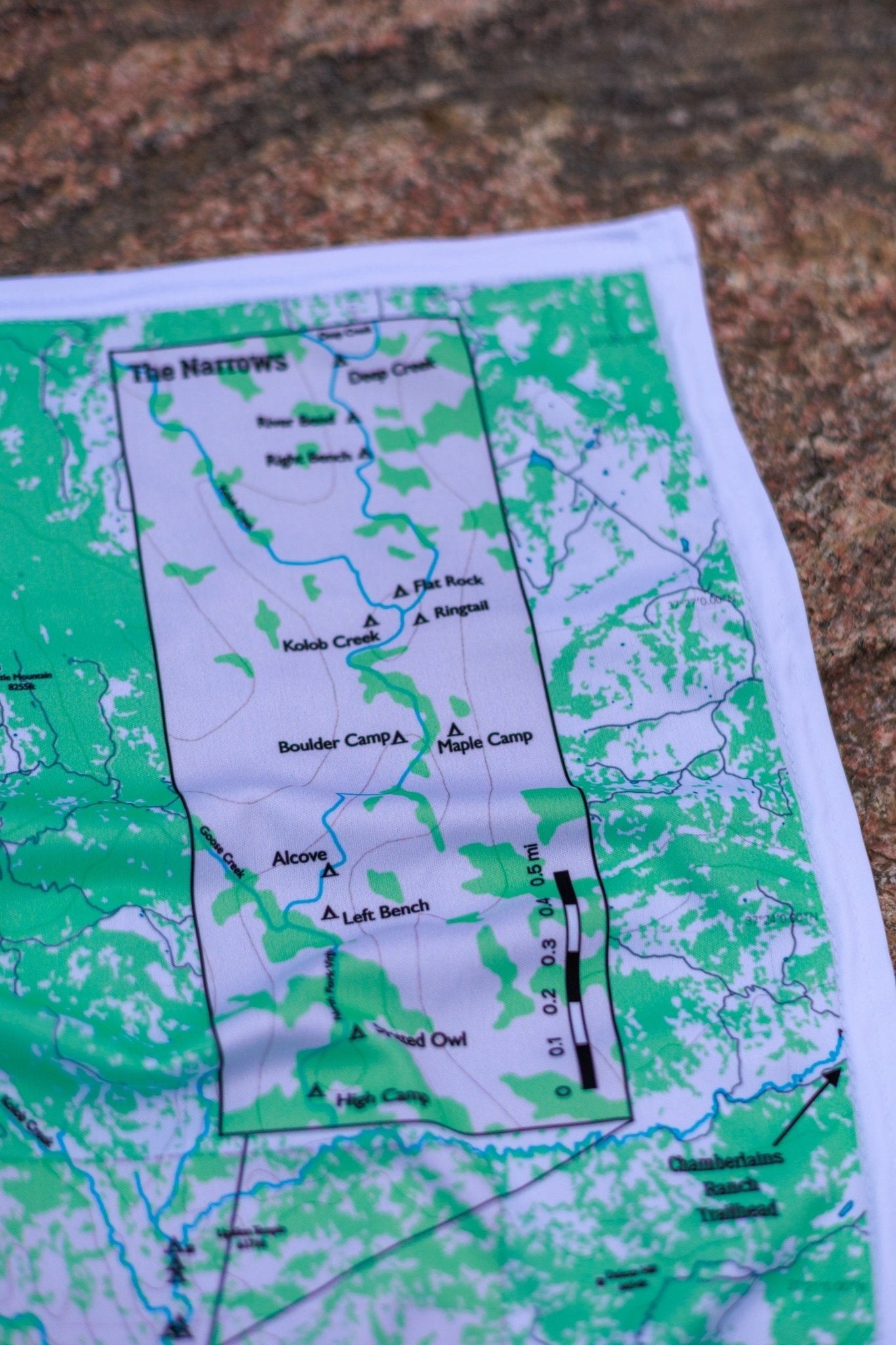
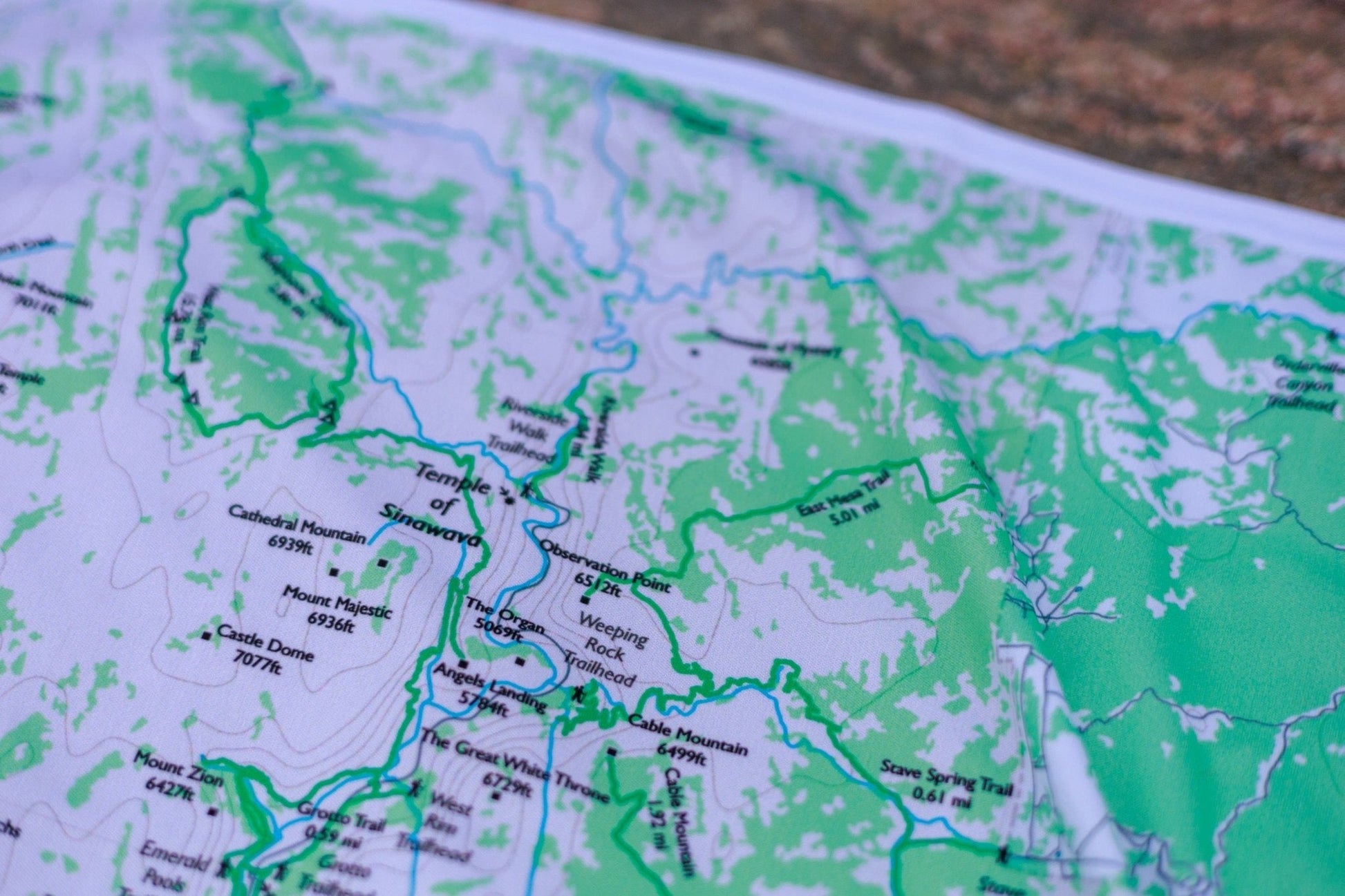
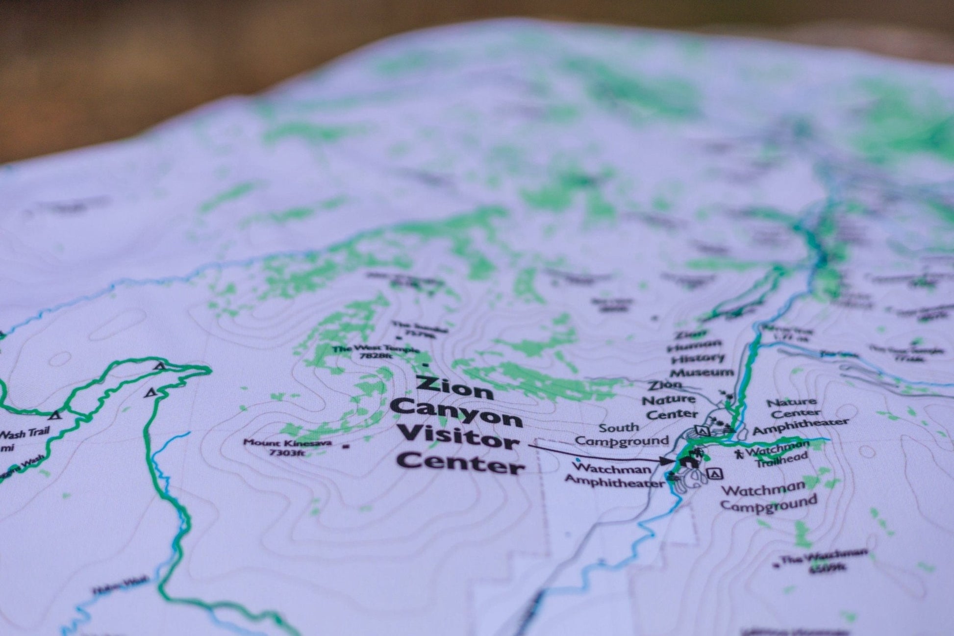
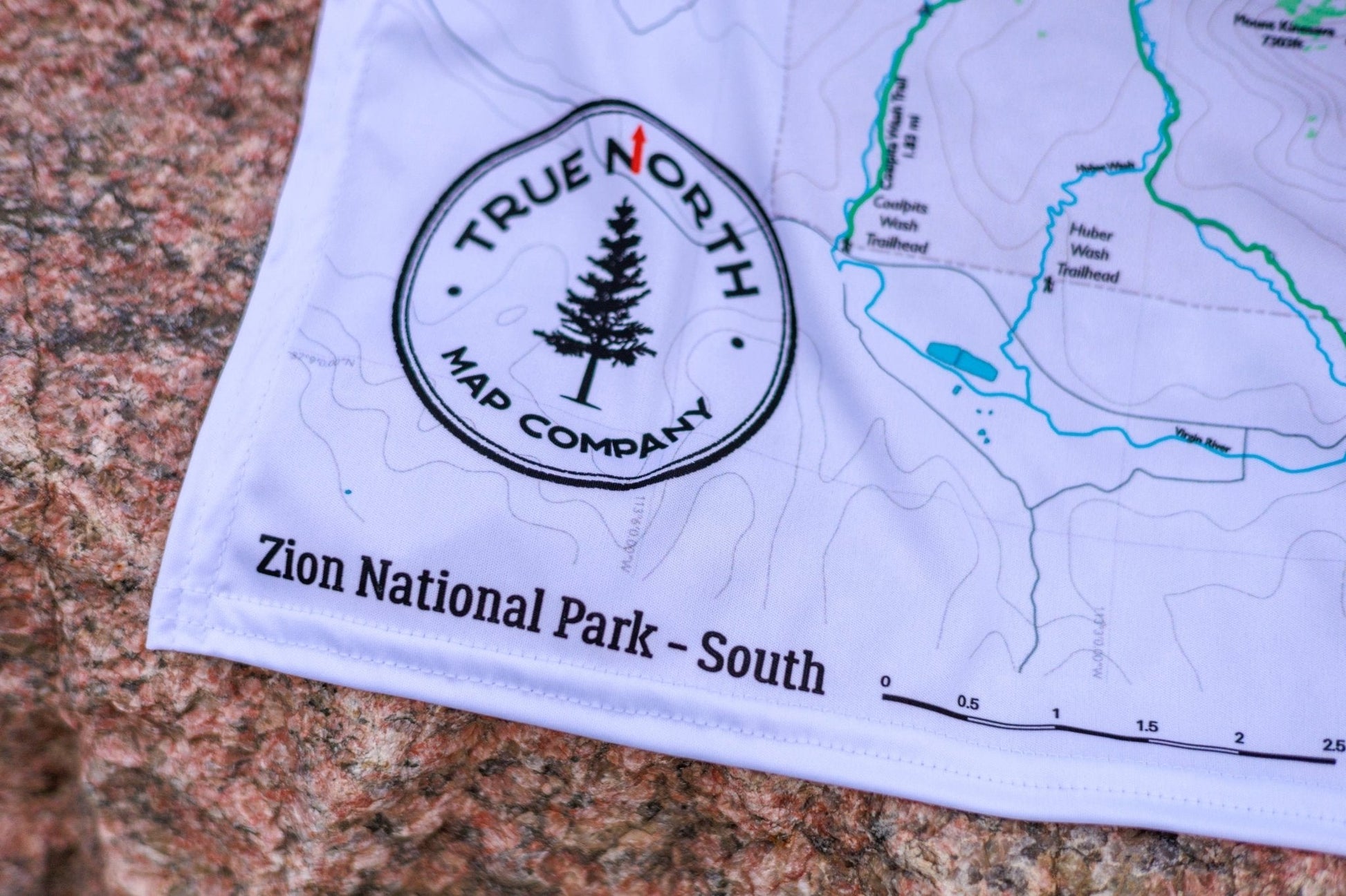
South — Zion Canyon in full detail: Angels Landing, The Narrows, Emerald Pools, Weeping Rock, Observation Point, Canyon Overlook, Court of the Patriarchs, West Rim Trail, East Rim Trail, Watchman Trail
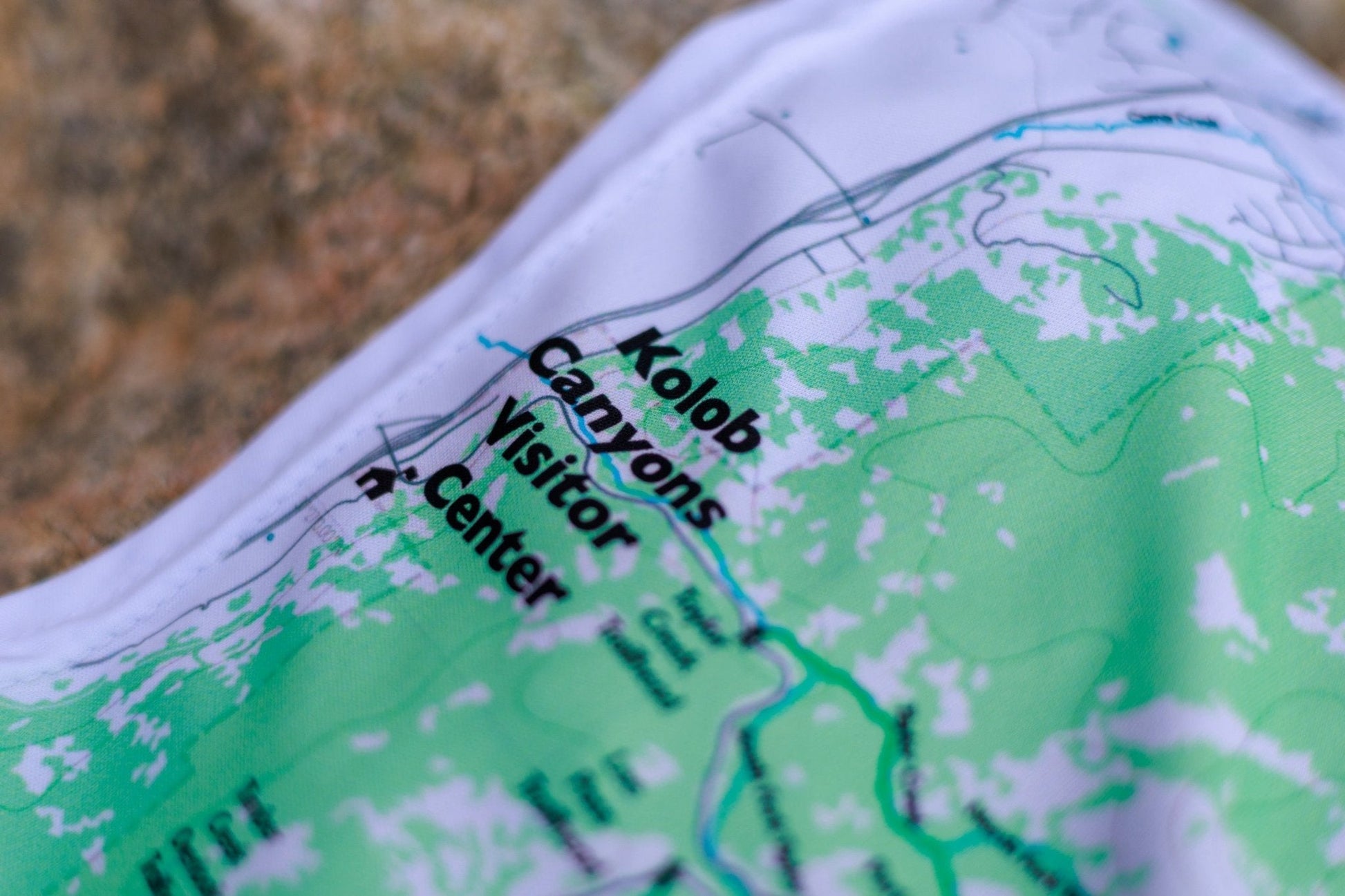
North — Kolob Canyons (La Verkin Creek, Kolob Arch, Timber Creek Overlook, Taylor Creek) and Kolob Terrace (Lava Point, Hop Valley, Wildcat Canyon, The Subway top-down)
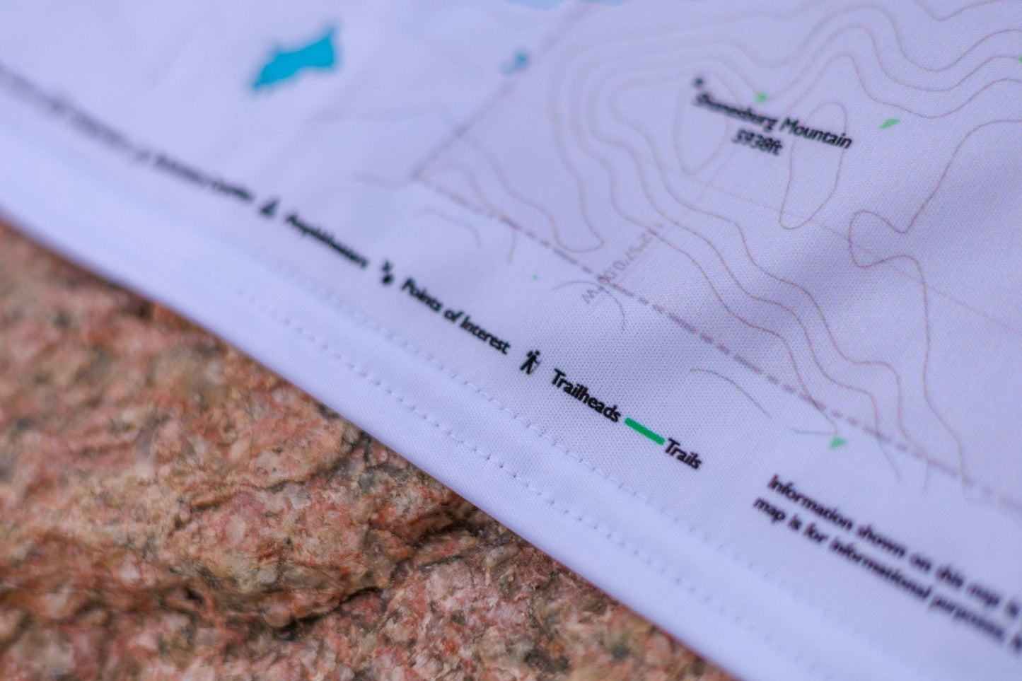
▼ Trails & features by variant
Overview (full park) Zion Canyon, Kolob Canyons, Kolob Terrace, and all connecting trails, roads, and trailheads
South Angels Landing · The Narrows (Riverside Walk entry at Temple of Sinawava) · Lower, Middle & Upper Emerald Pools · Weeping Rock · Observation Point · Canyon Overlook Trail · Court of the Patriarchs · West Rim Trail (southern) · East Rim Trail · Watchman Trail · The Subway (Left Fork bottom-up entry) · Zion Canyon Visitor Center · Zion Lodge
North La Verkin Creek Trail & Kolob Arch · Timber Creek Overlook Trail · Taylor Creek Trail · Kolob Canyons Visitor Center · Lava Point · West Rim Trail (northern approach) · Hop Valley Trail · Wildcat Canyon Trail · The Subway (top-down via Left Fork North Creek) · Northgate Peaks · Kolob Reservoir area