True North Map Co
Greggar's Map - 1928 Canoe Country
Greggar's Map - 1928 Canoe Country
Couldn't load pickup availability
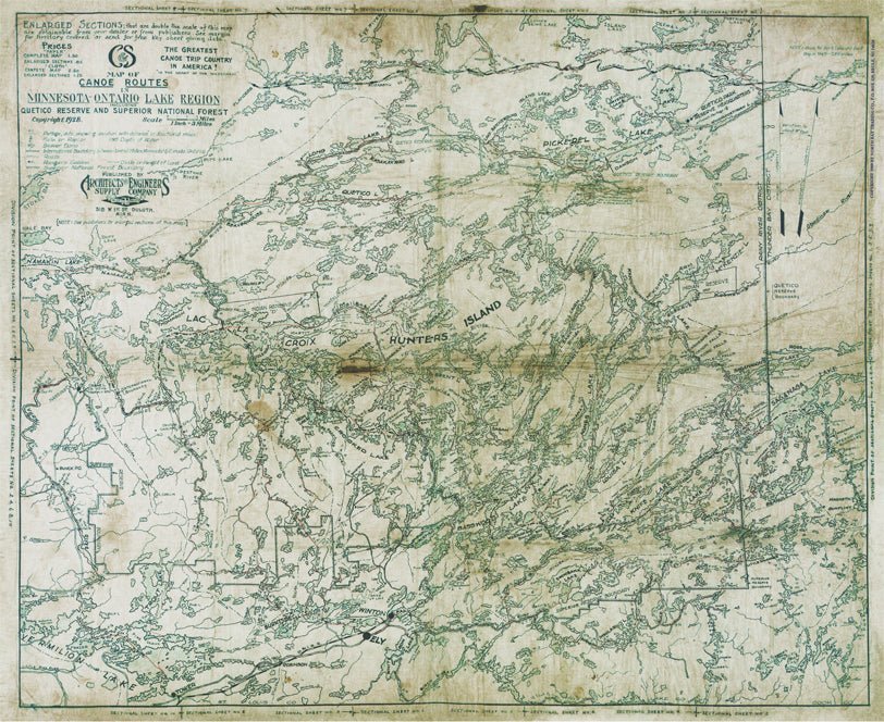
Greggar’s Map is a faithful cloth reproduction of the original 1928 Canoe Country Map — a remarkable piece of wilderness history and an early glimpse into what we now know as the Boundary Waters Canoe Area Wilderness and Quetico Provincial Park. In its original form, the 1928 map featured hand-drawn lakes, handwritten portage notes, and thoughtful details from the map’s original creator, offering a window into a time when navigation was guided by observation, experience, and adventure.
True North Map Company has carefully reproduced this vintage artifact on our durable, moisture-wicking cloth fabric — the same rugged material trusted in our modern navigation maps. The result is a piece that celebrates both craftsmanship and exploration, perfect for collectors, history enthusiasts, or anyone who cherishes the heritage of Canoe Country. Designed to be displayed, admired, and preserved, Greggar’s Map honors the past while built to last for generations.
Not intended for navigation.
Dimensions: 26.5” x 21”
Share