True North Map Co
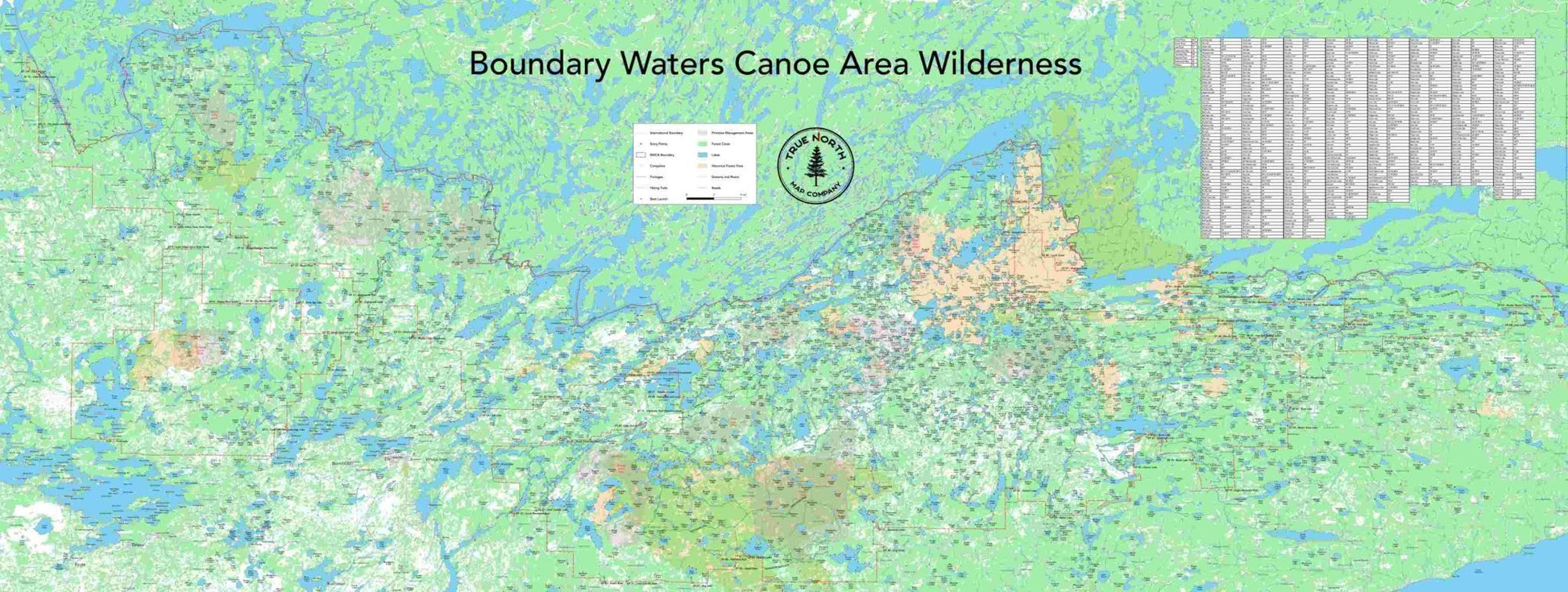
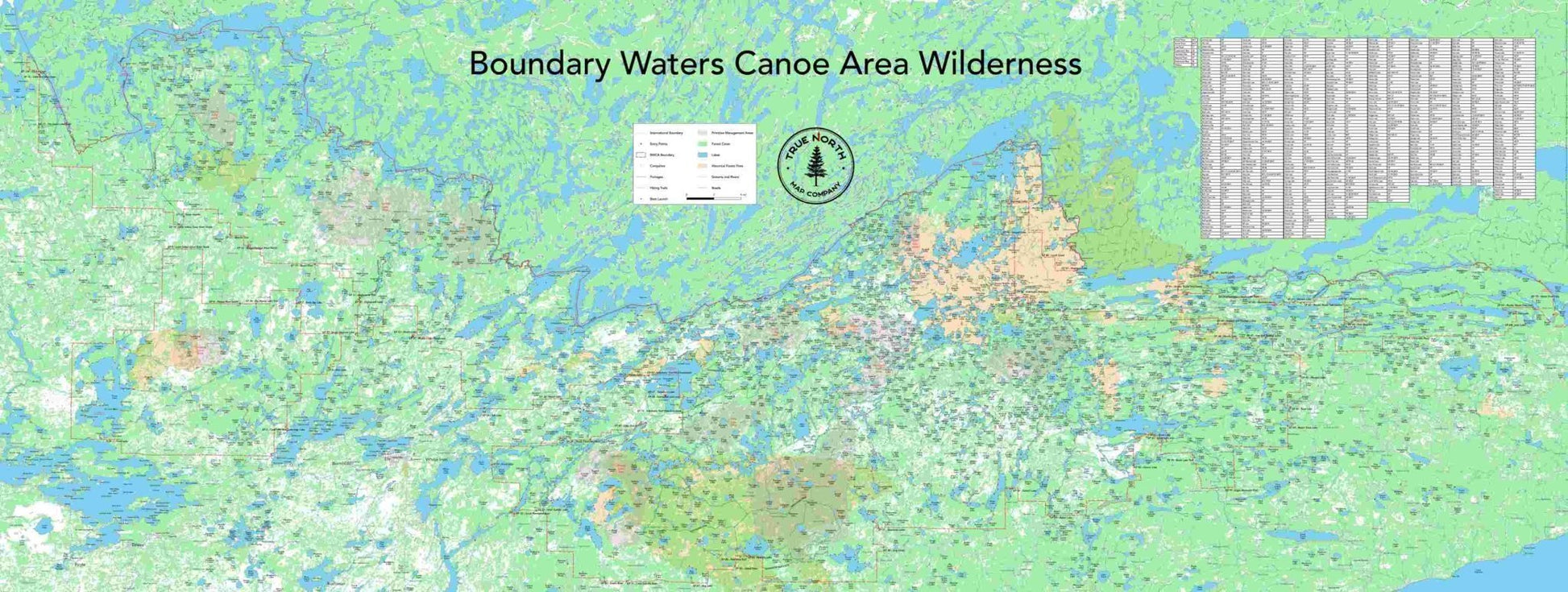
Boundary Waters Canoe Area Wall Map
Boundary Waters Canoe Area Wall Map
Couldn't load pickup availability
IMPORTANT: There is as long as a 3 week processing time for all wall maps, due to their configurable and customizable nature. We will make every effort to get them shipped out as quickly as possible.
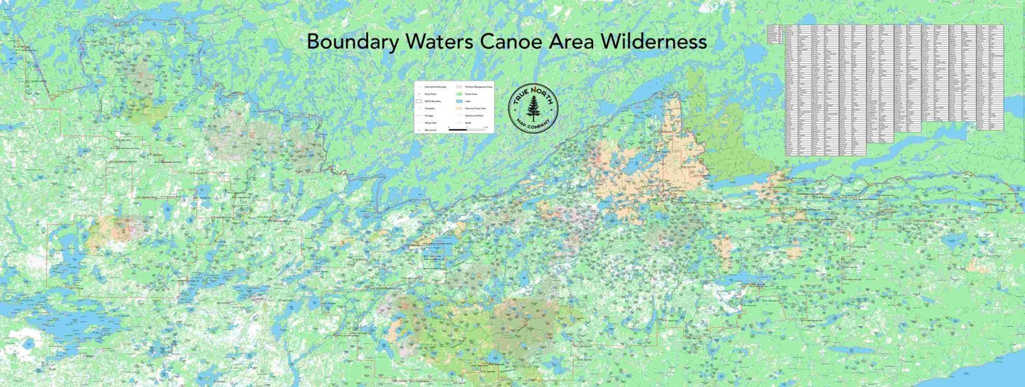
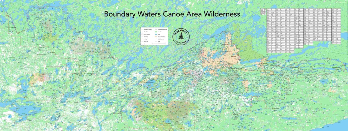
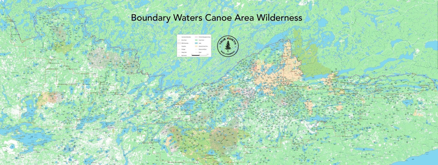
This map covers the BWCA in its entirety. 8 feet wide, and 3 feet tall, this is the perfect map to be hung on a wall for planning your future trips into the park. Using the latest and most accurate GIS data available, this map is functional, and precise. The optional Dry Erase lamination allows you to mark up trips, and change them as plans change.
** The fish species chart is based on data provided by the MN DNR, and includes all lakes with recent lake survey data. It may not be complete, based on the guidance provided by the DNR.
IMPORTANT: There is as long as a 3 week processing time for all wall maps, due to their configurable and customizable nature. We will make every effort to get them shipped out as quickly as possible.
Share
