

True North Map Co
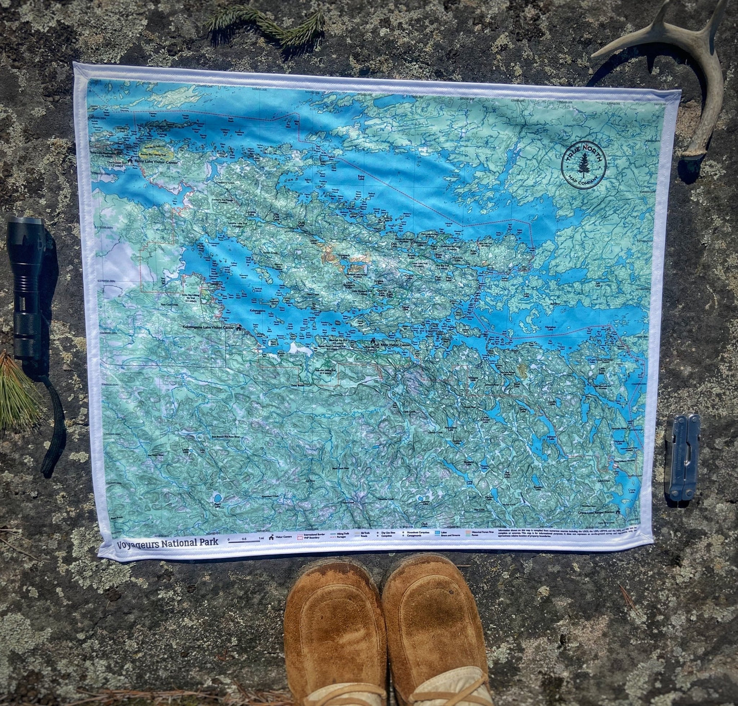
Voyageurs National Park Cloth Map
Voyageurs National Park Cloth Map
Couldn't load pickup availability
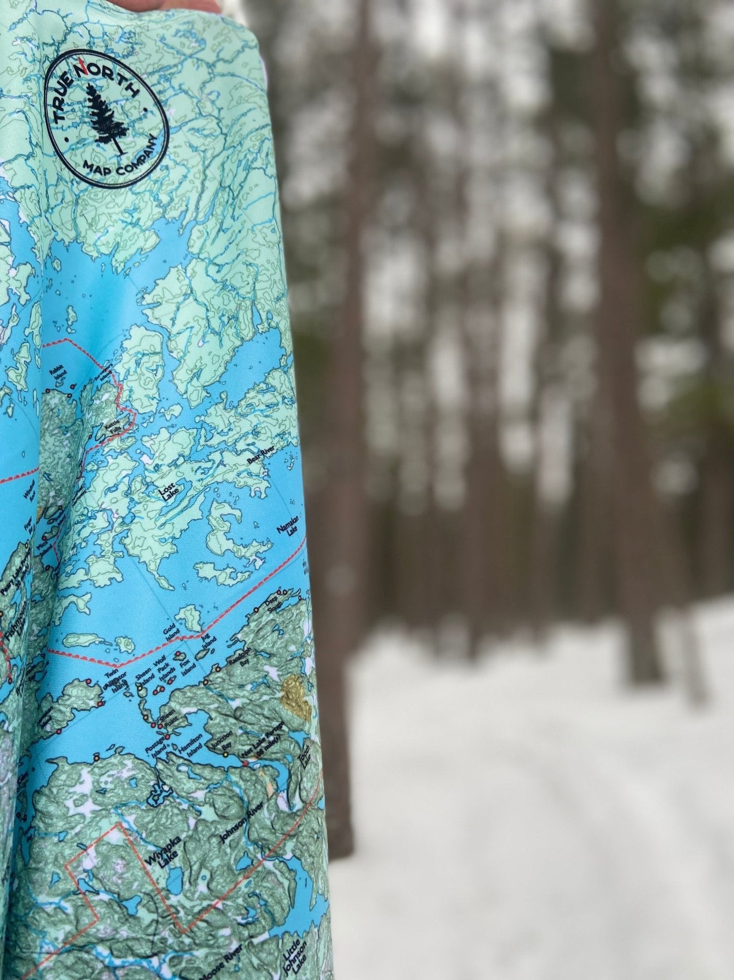
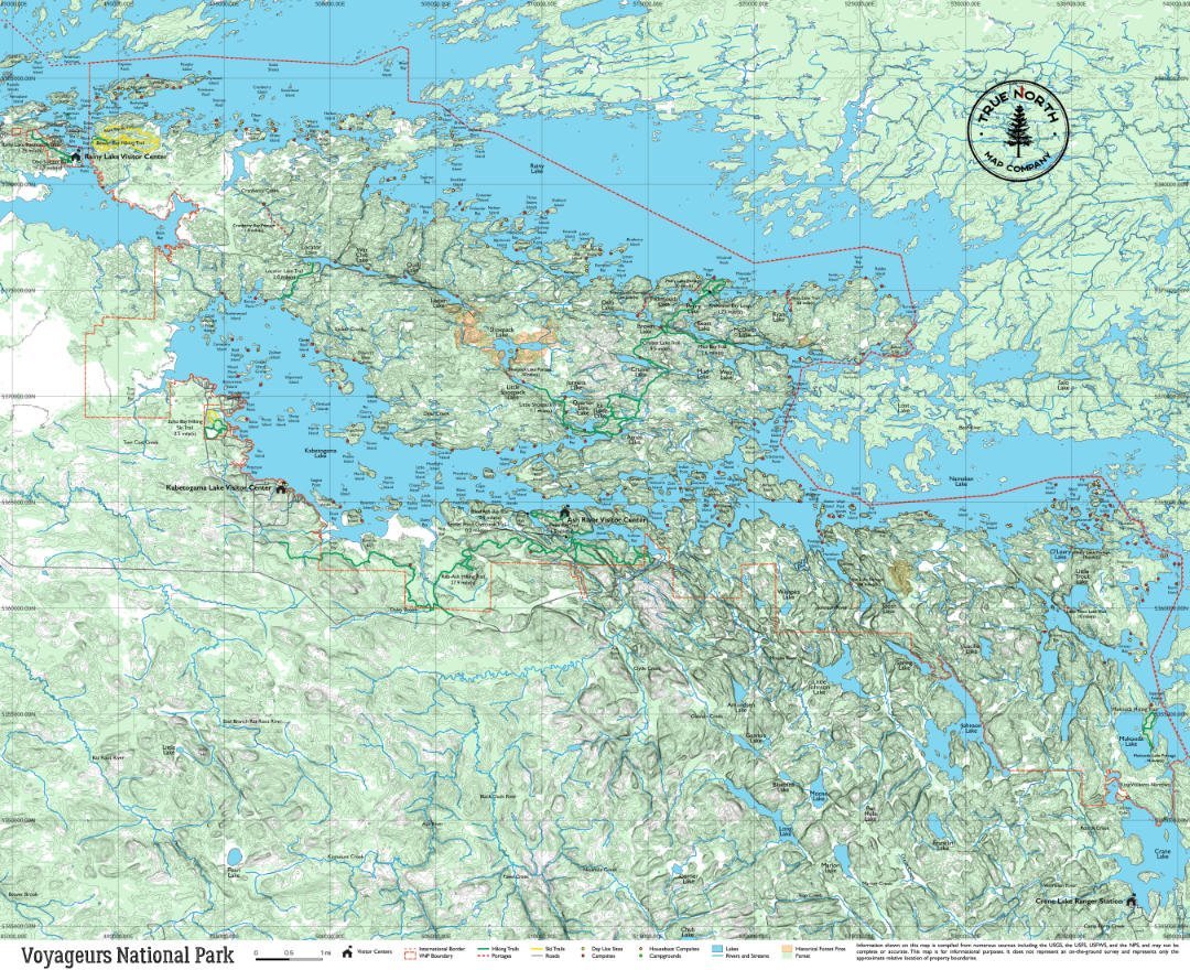
Voyageurs is Minnesota's only national park built around water — nearly 40% of the park is lake surface, and most of it is accessible only by boat. Rainy Lake, Kabetogama Lake, Namakan Lake, and Sand Point Lake form an interconnected system along the US–Canada border, with over 500 islands and some of the most consistently uncrowded backcountry in the Midwest.
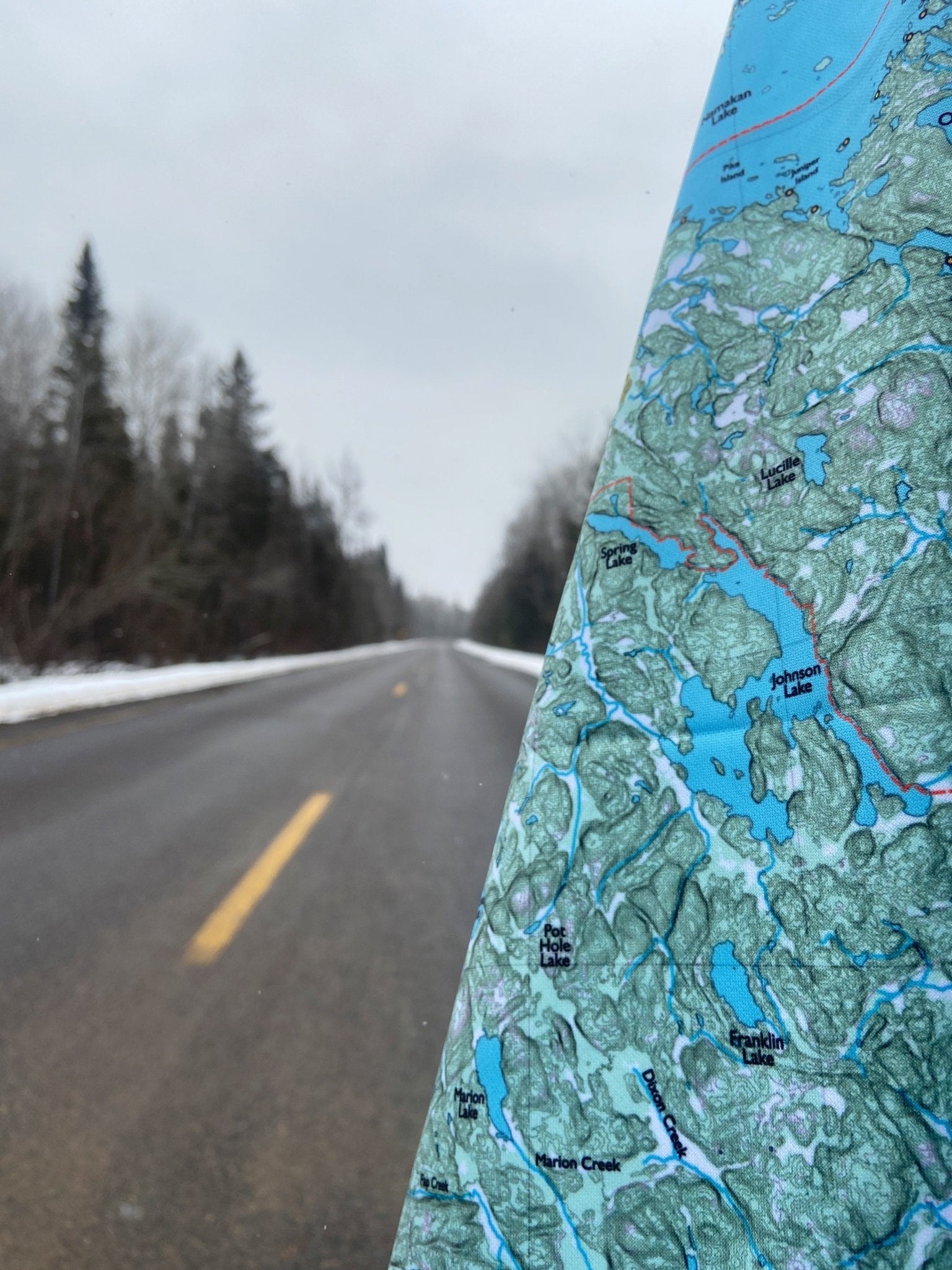
The True North Voyageurs map (27" × 22") covers the full park — water routes and channels, backcountry campsites, portage connections, and the trail network on the Kabetogama Peninsula. Peninsula trails include the Cruiser Lake Trail (9.5 miles), the Blind Ash Bay Trail, and the Locator Lake Trail — all accessed by boat from Kabetogama or Rainy Lake, with no road access to the peninsula interior.
The Kettle Falls Hotel — a 1913 lodge at the confluence of Namakan and Rainy Lakes — is marked on the map, reachable only by boat and one of the more distinctive overnight spots in the national park system. Corner button holes allow the map to be lashed to a houseboat railing, canoe thwart, or hung at camp.
Visitor Centers: Rainy Lake Visitor Center (International Falls) · Kabetogama Lake Visitor Center · Ash River Visitor Center · Crane Lake Ranger Station
From the Field Guide: Beginner's Guide to Voyageurs · What Makes a Good Canoe Country Map · What to Pack for a Day Hike
True North Map Co. is an independent map publisher and is not affiliated with, endorsed by, or sponsored by the National Park Service, U.S. Forest Service, U.S. Fish & Wildlife Service, Bureau of Land Management, the U.S. Department of the Interior, or any other government agency. Park and place names are used for identification purposes only.
Share