♻️Built to Last
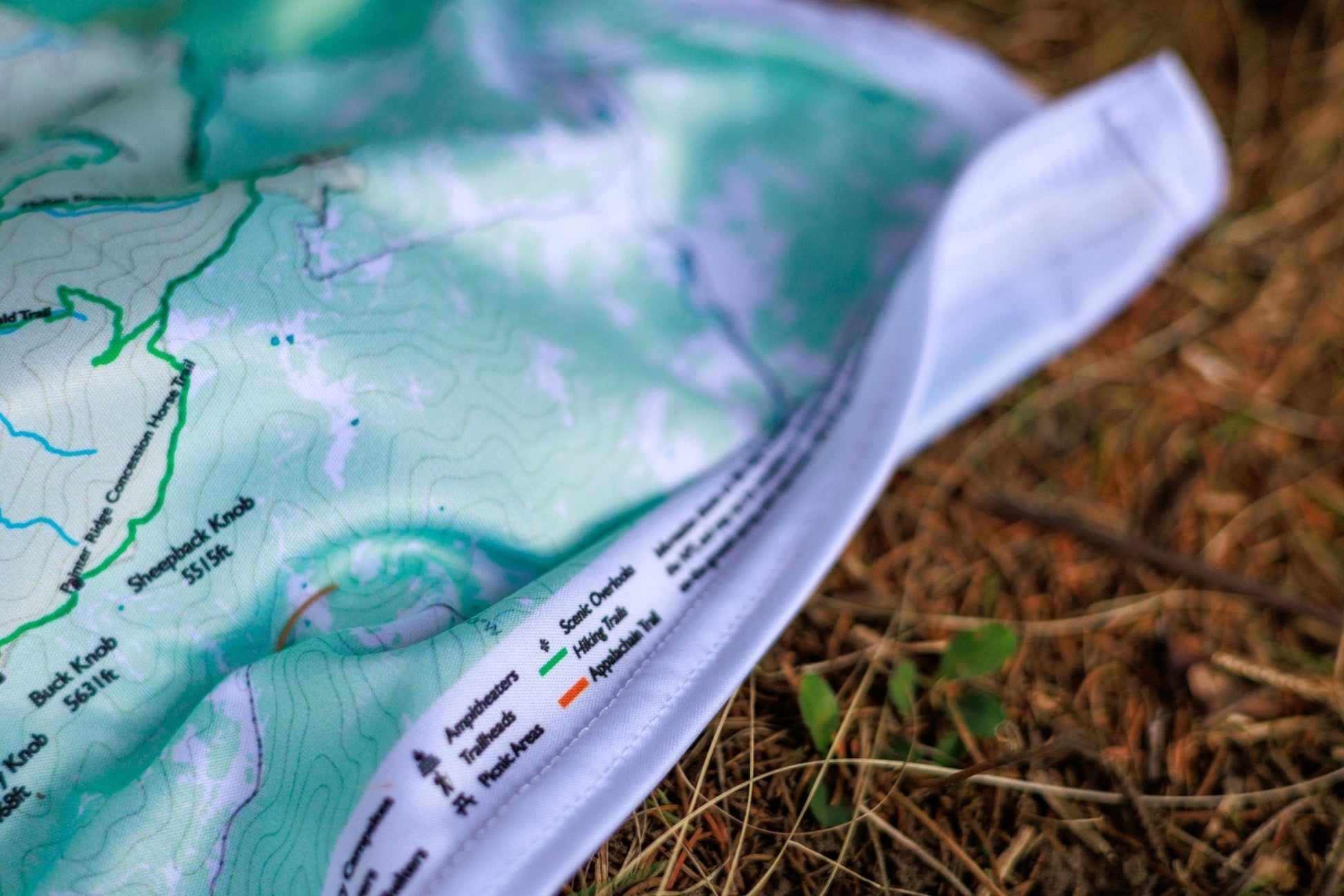
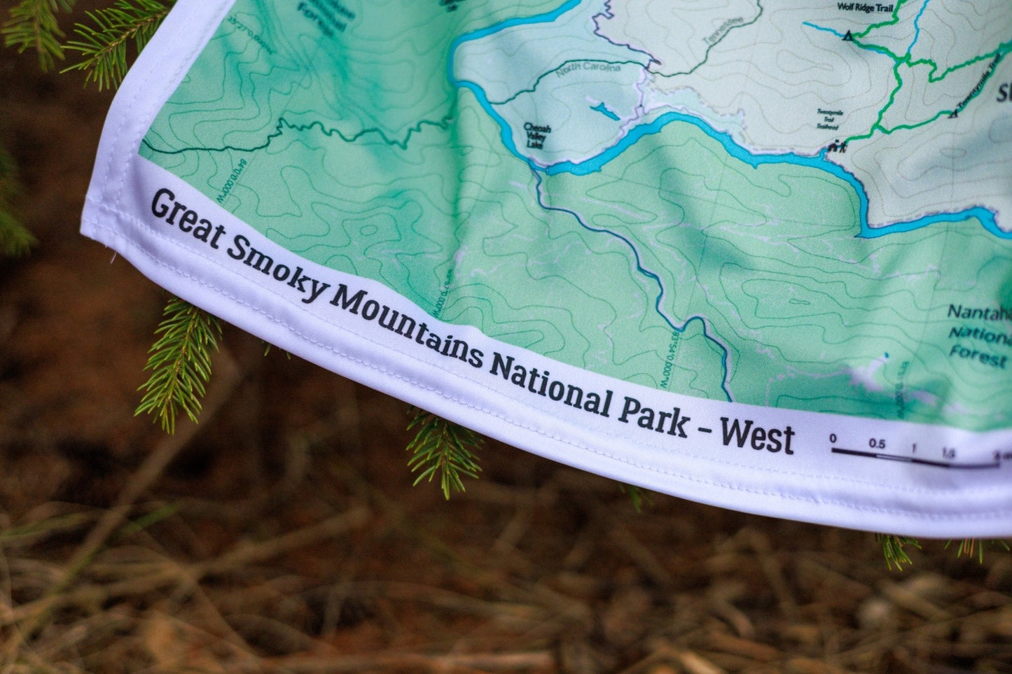
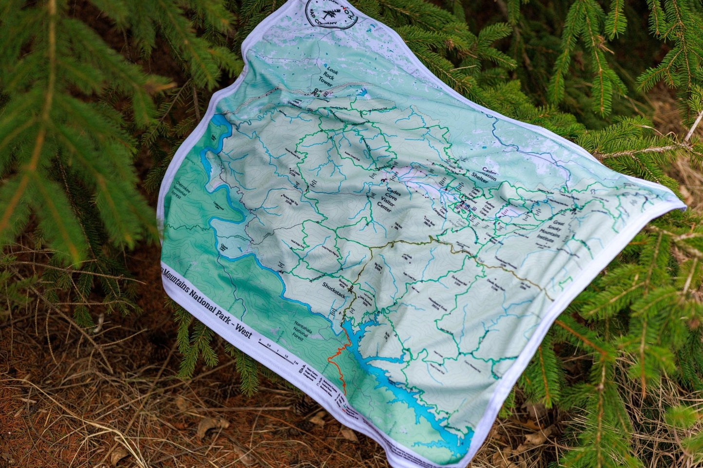
Durable cloth maps designed for years of use, not single trips
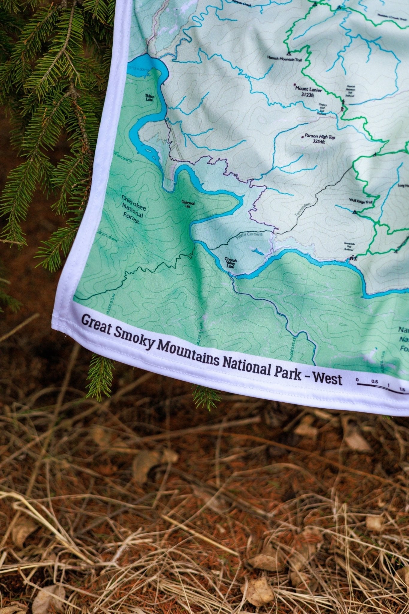
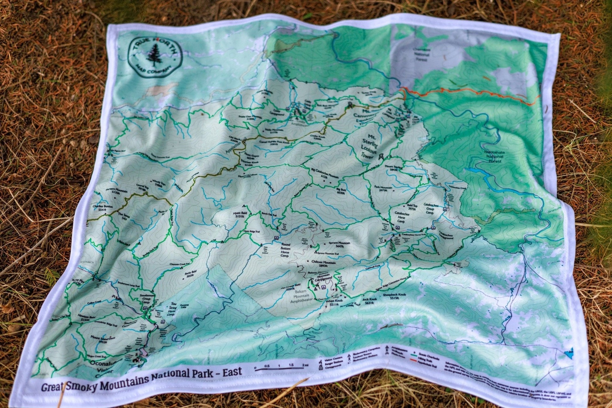
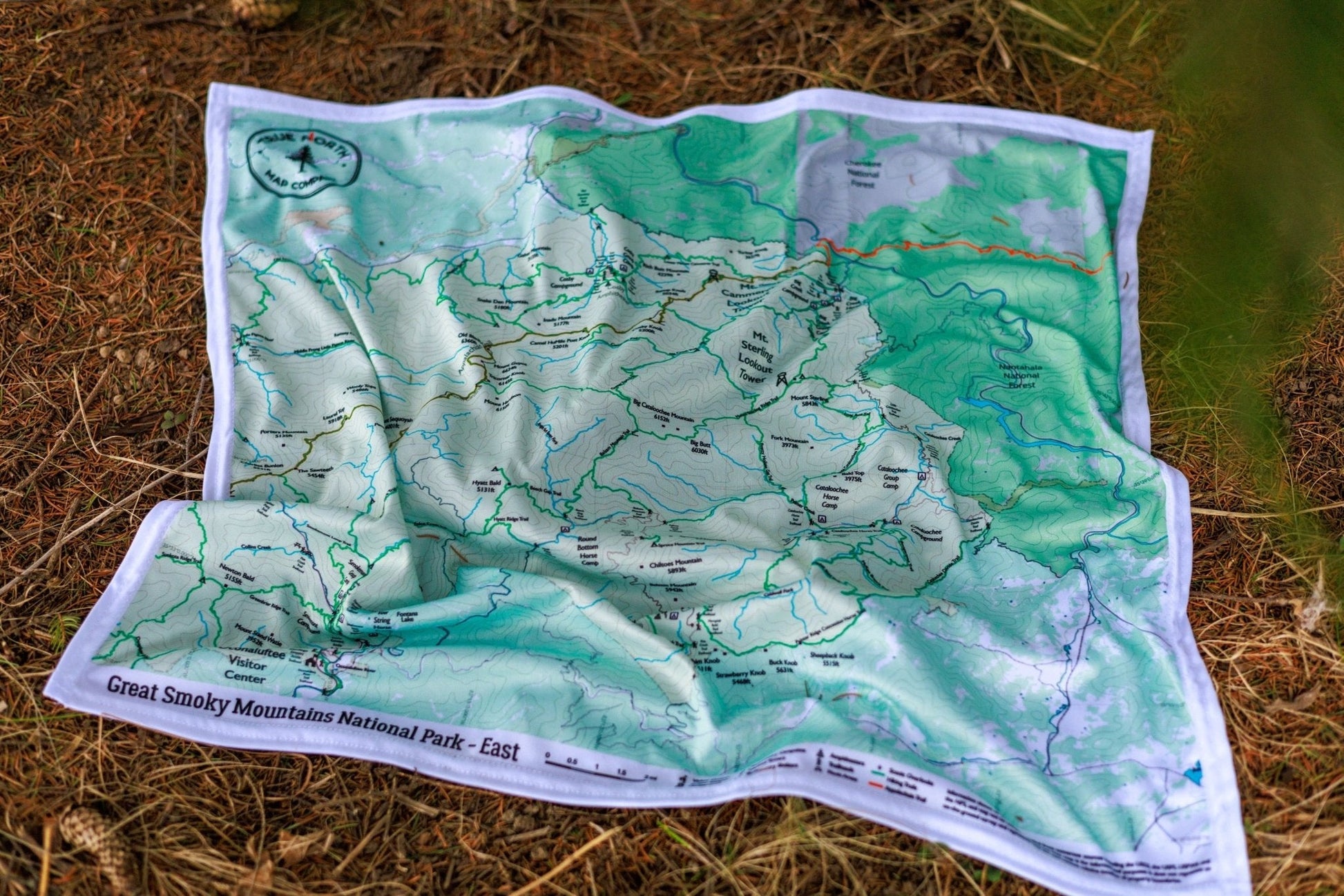
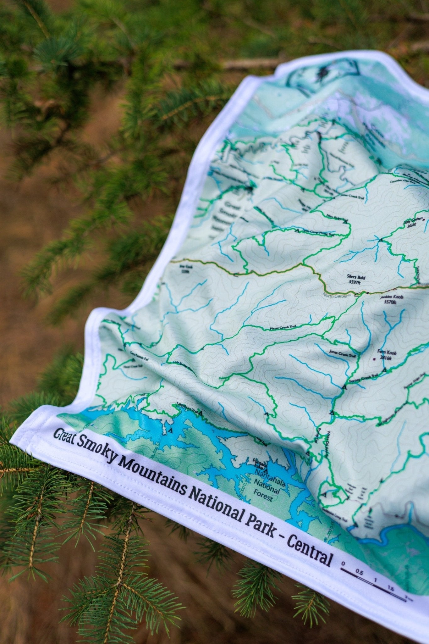
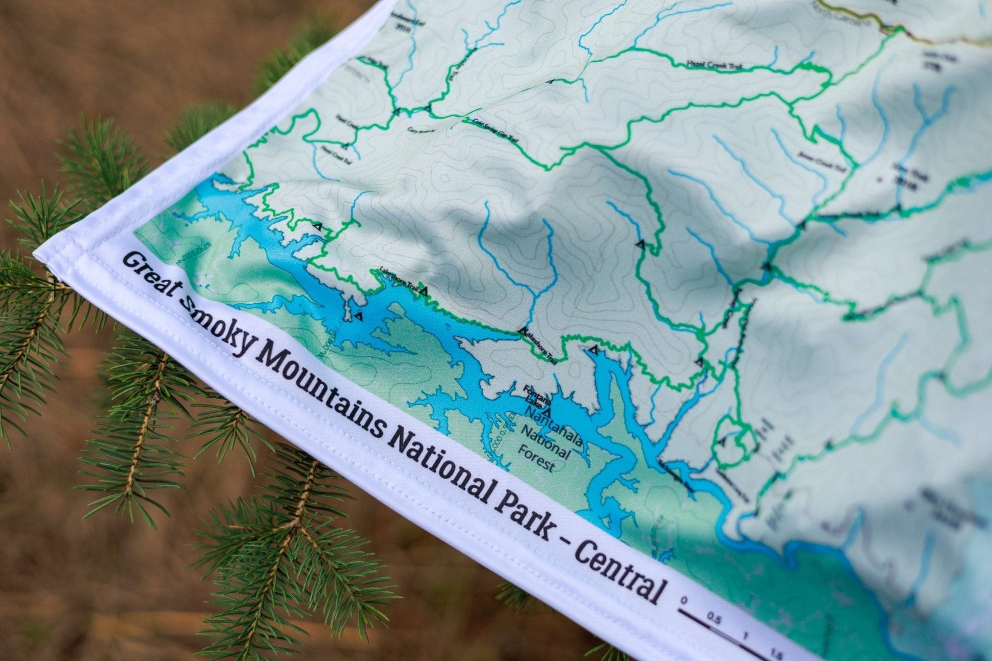
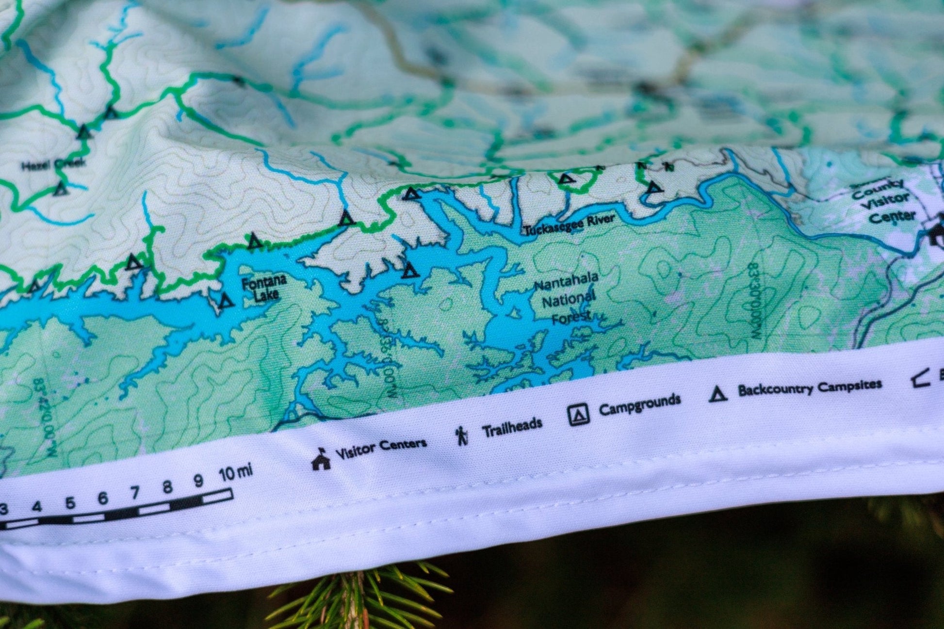
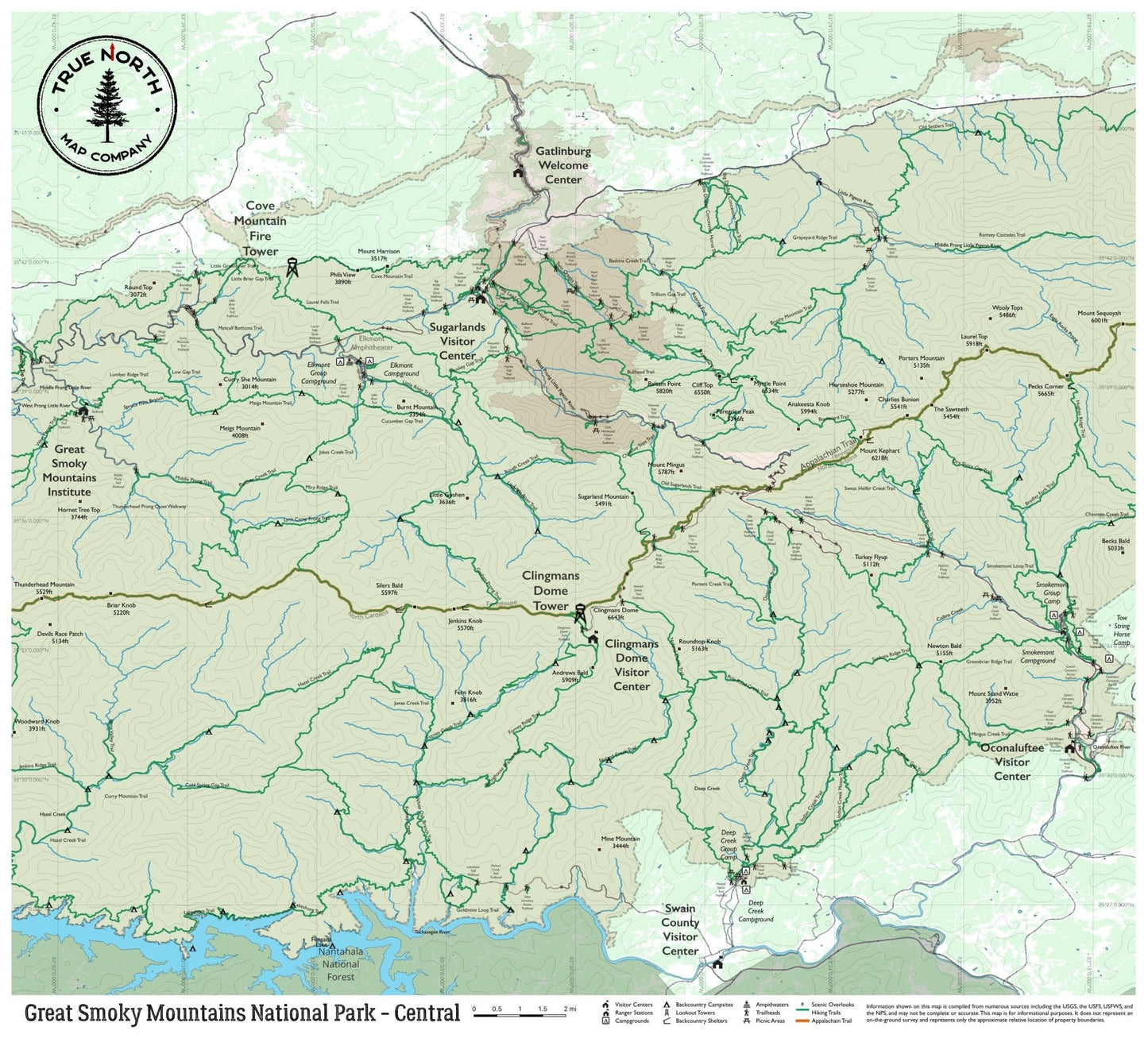
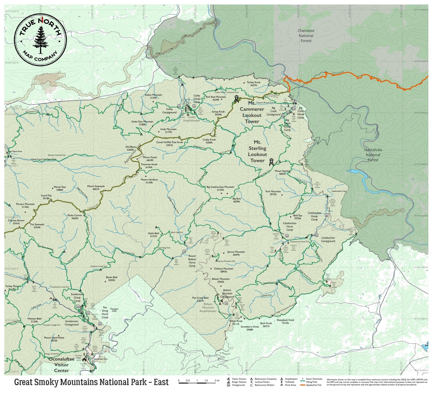
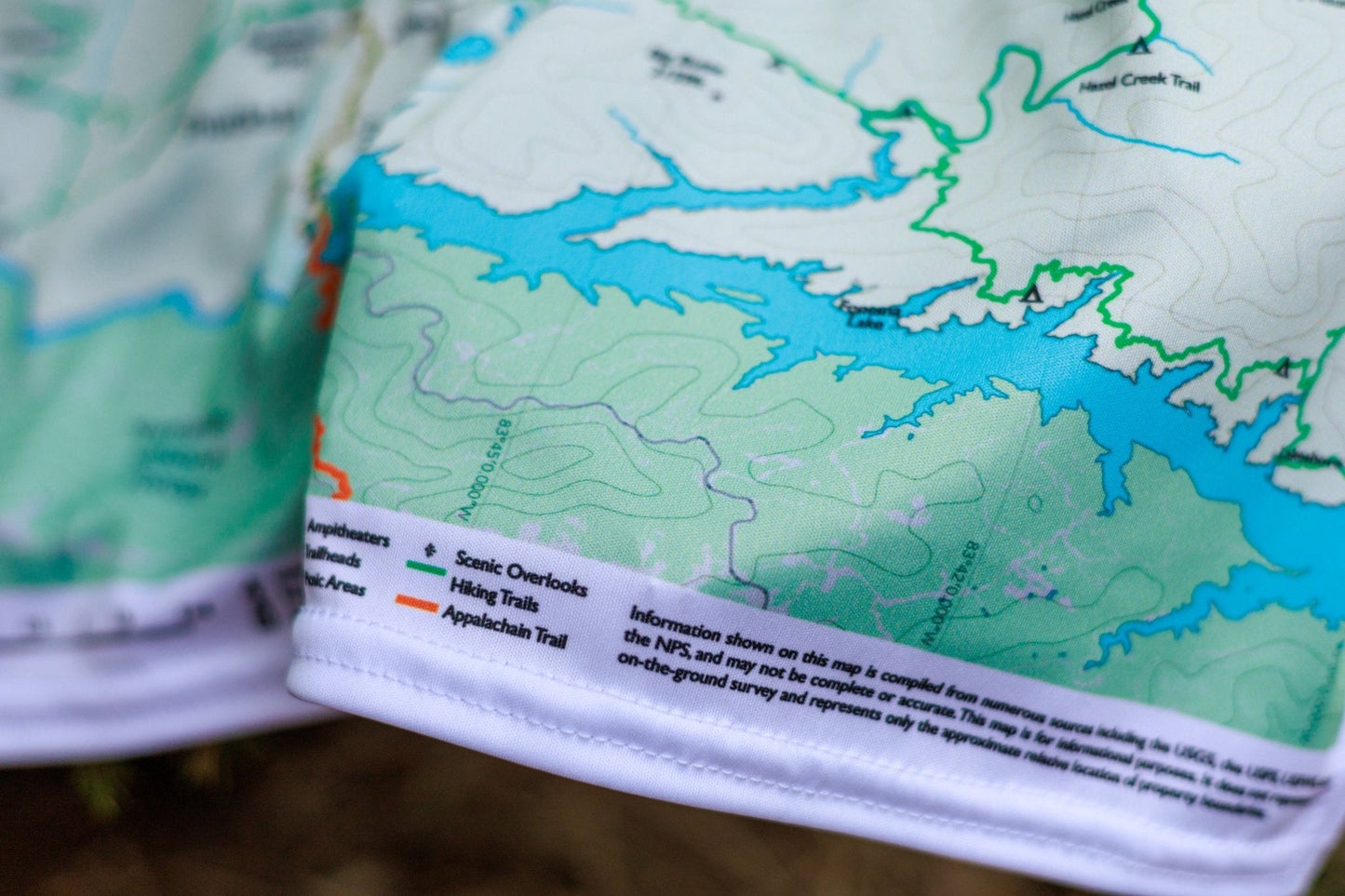
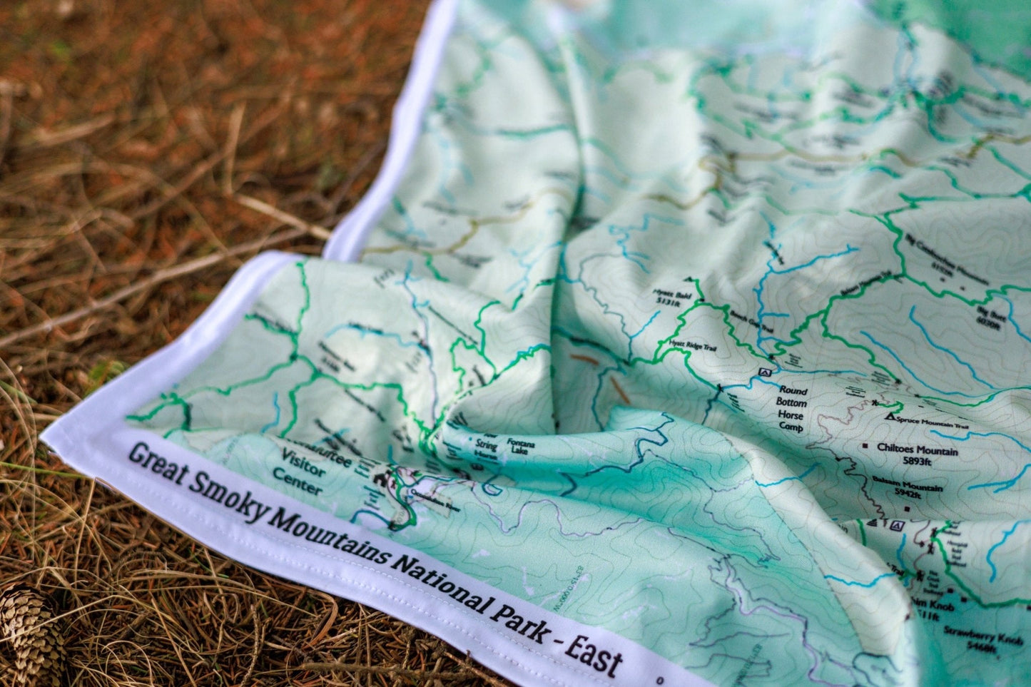
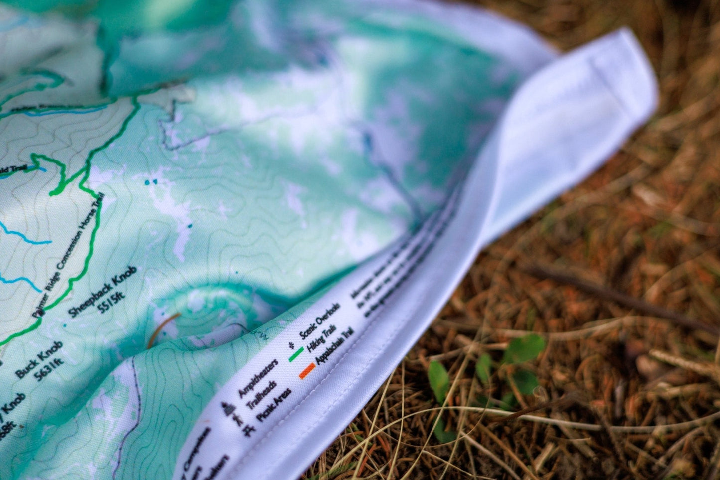
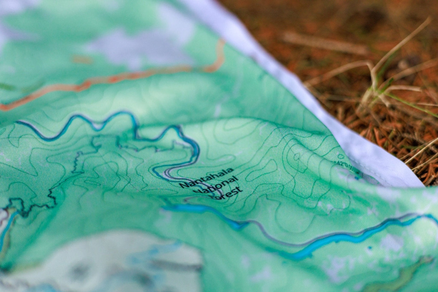
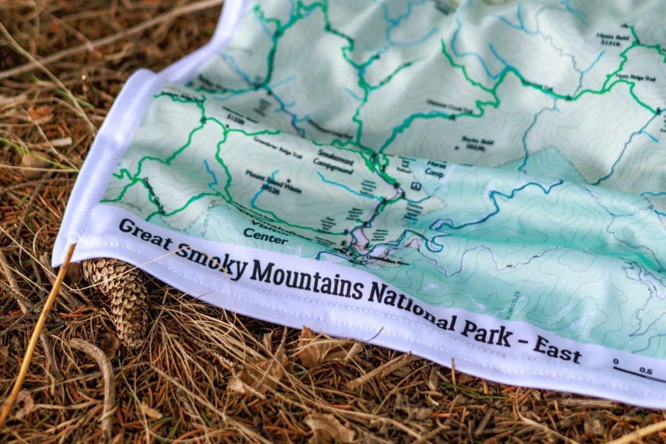
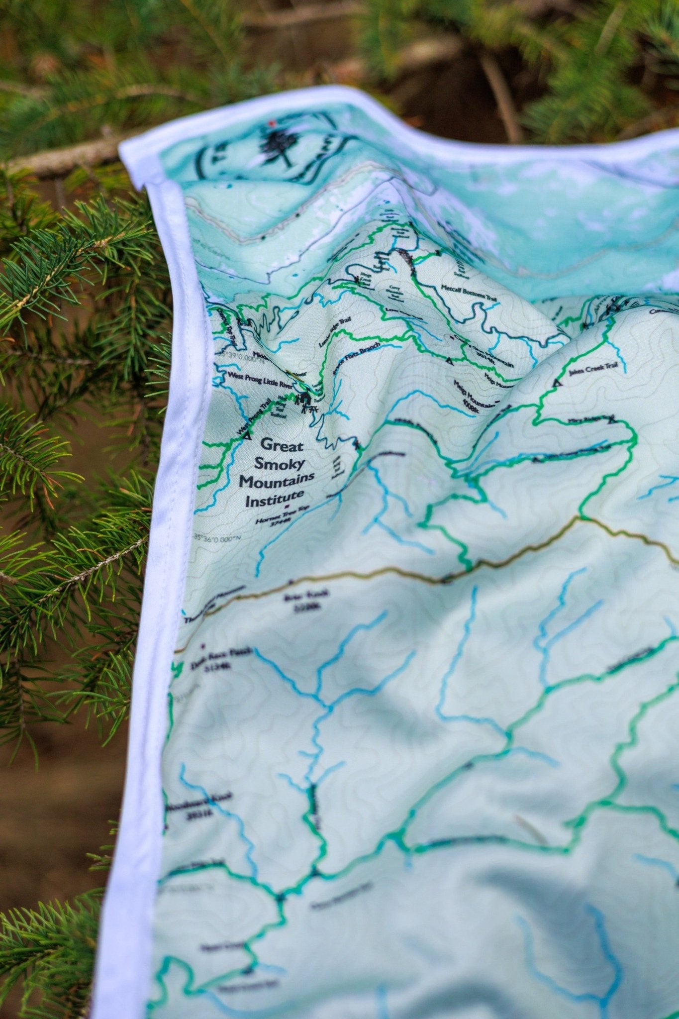
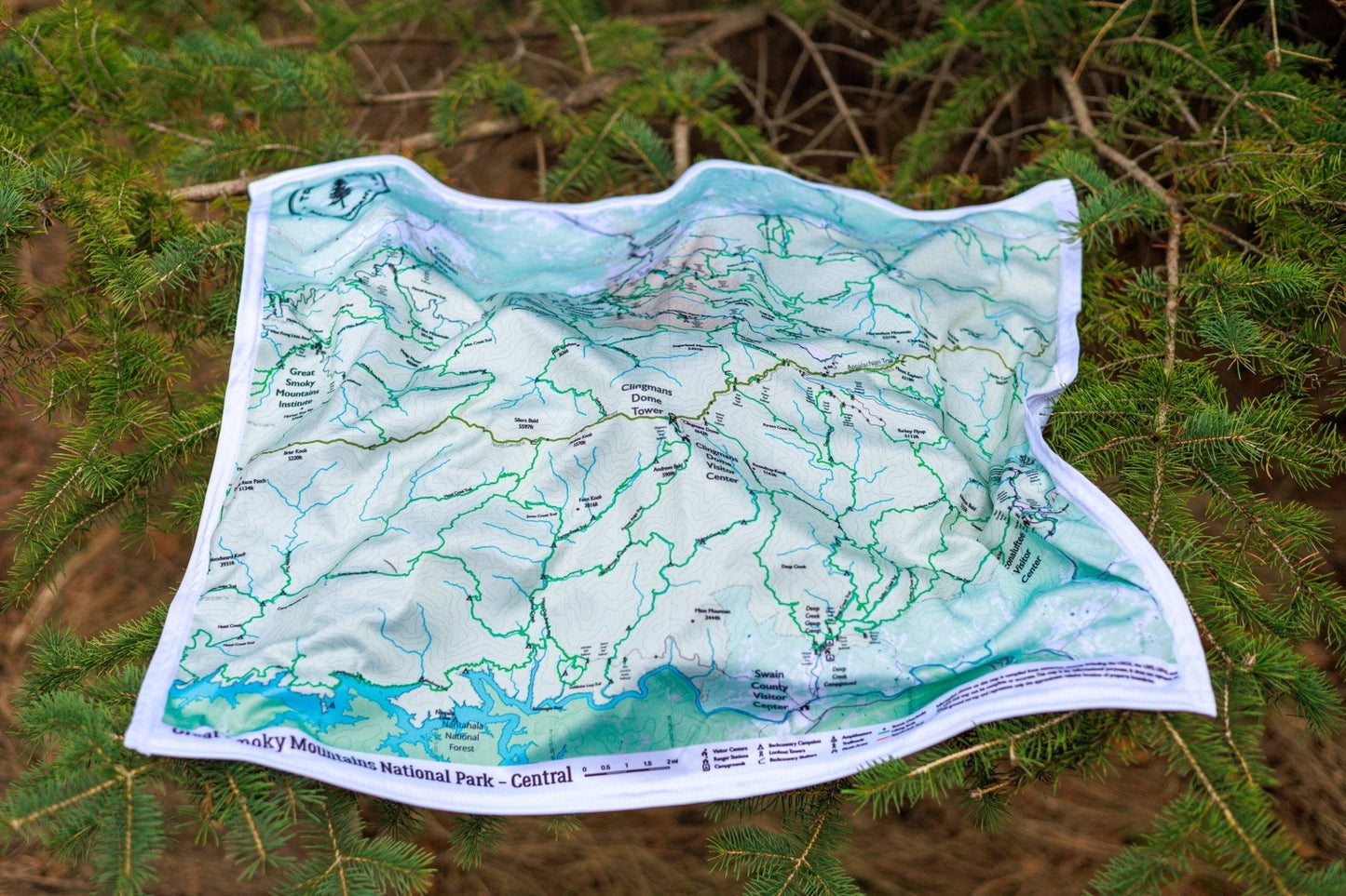
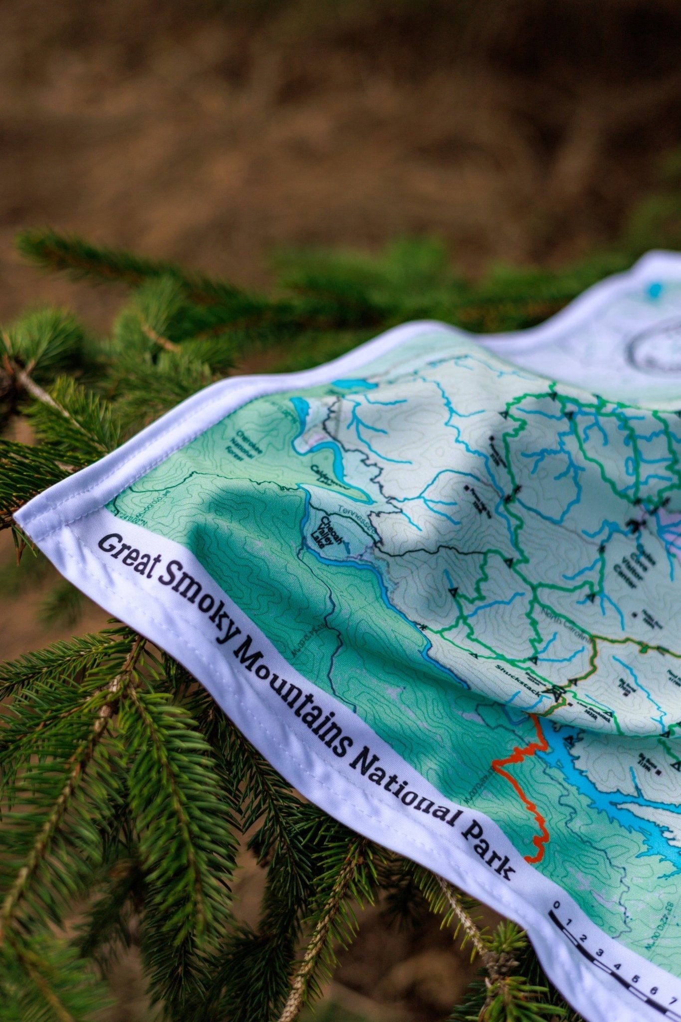
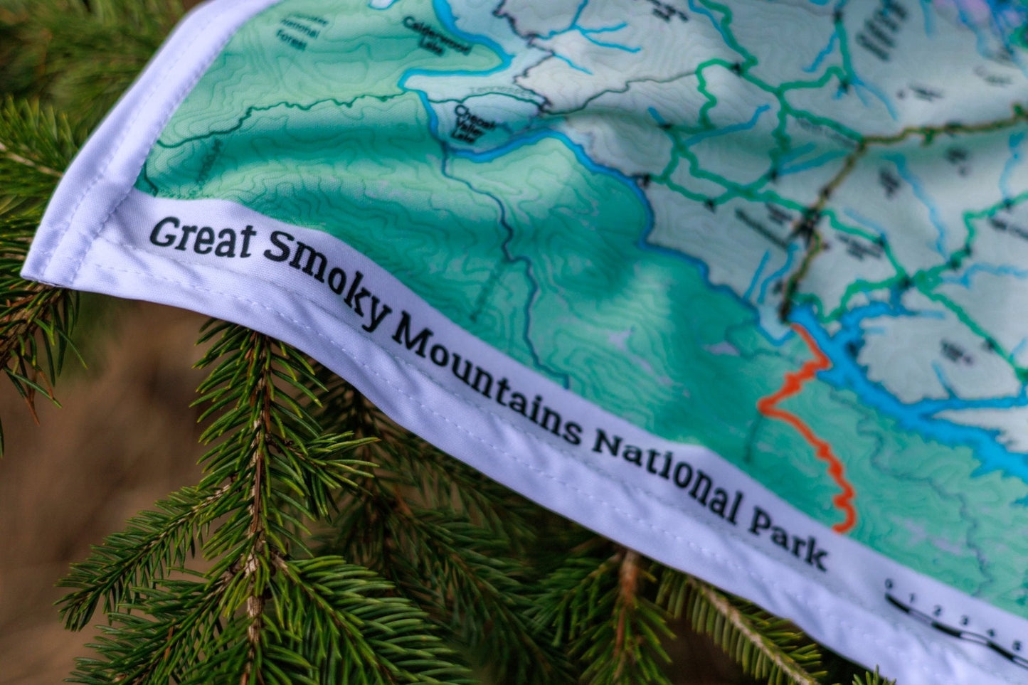
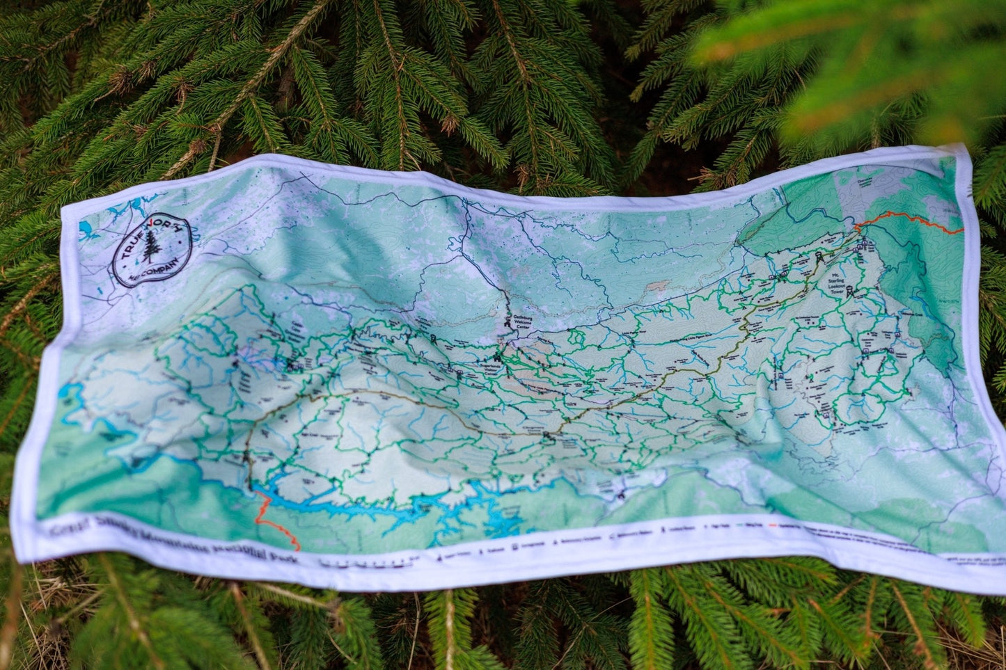
America's most visited national park spans two states and 500,000 acres of Appalachian wilderness. True North's Great Smoky Mountains map series gives you four options — a full-park Overview and three detailed regional maps — all printed on durable, waterproof cloth that holds up on the trail.
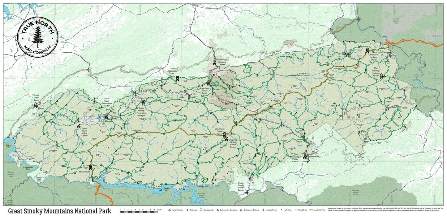
The Overview (32.5" × 16") covers the entire park from Fontana Lake to Cosby — ideal for trip planning and getting oriented before you go.
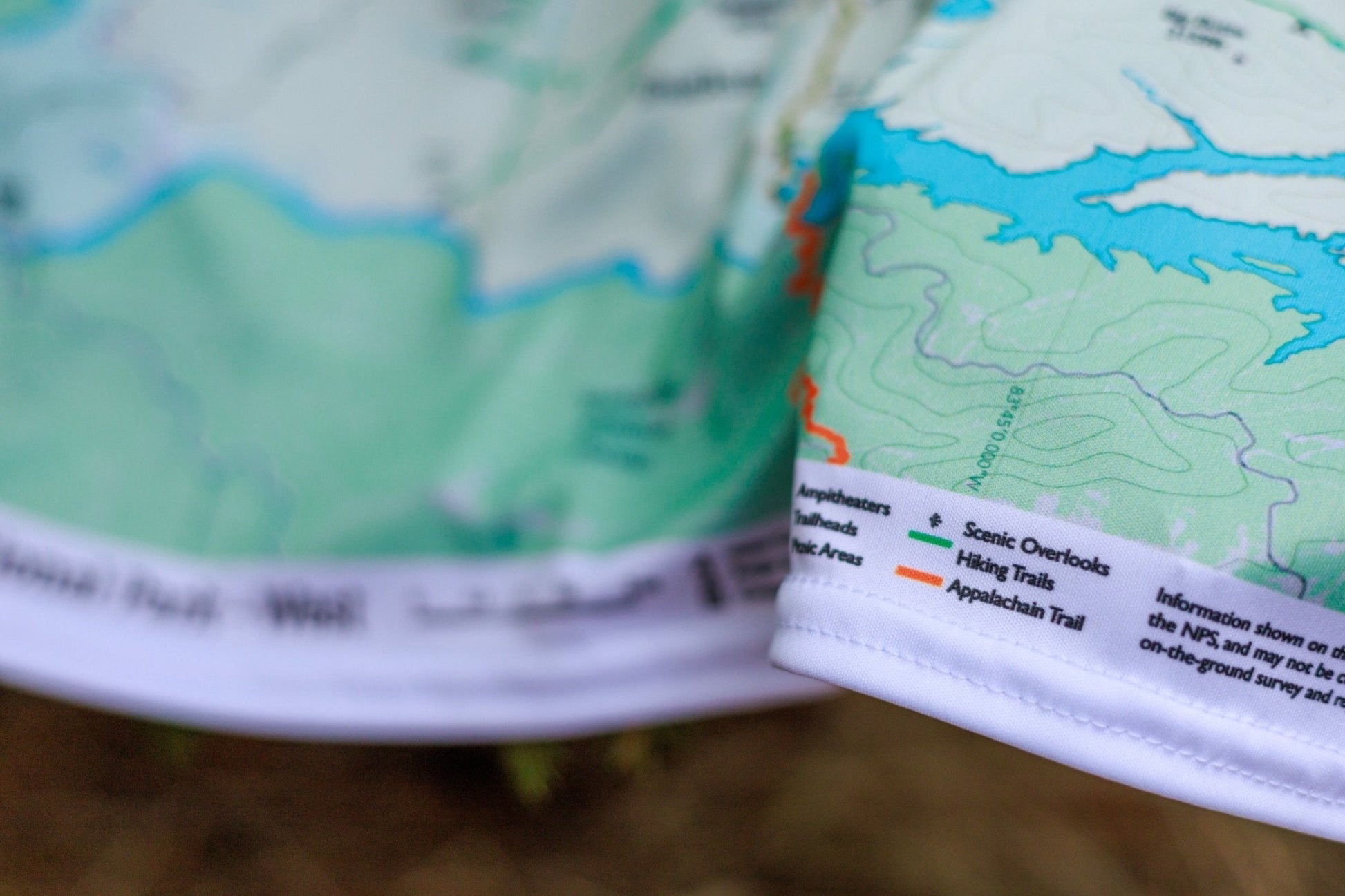
The three regional maps (24.5" × 22") zoom in with full trail detail:
West — Cades Cove, Abrams Falls, Look Rock Tower, Appalachian Trail through Shuckstack, Hazel Creek backcountry, Great Smoky Mountains Institute at Tremont
Central — Chimney Tops, Alum Cave Trail & Alum Cave Bluffs, Laurel Falls, Mount LeConte, Clingmans Dome & Andrews Bald, Appalachian Trail (Newfound Gap to Charlies Bunion), Deep Creek
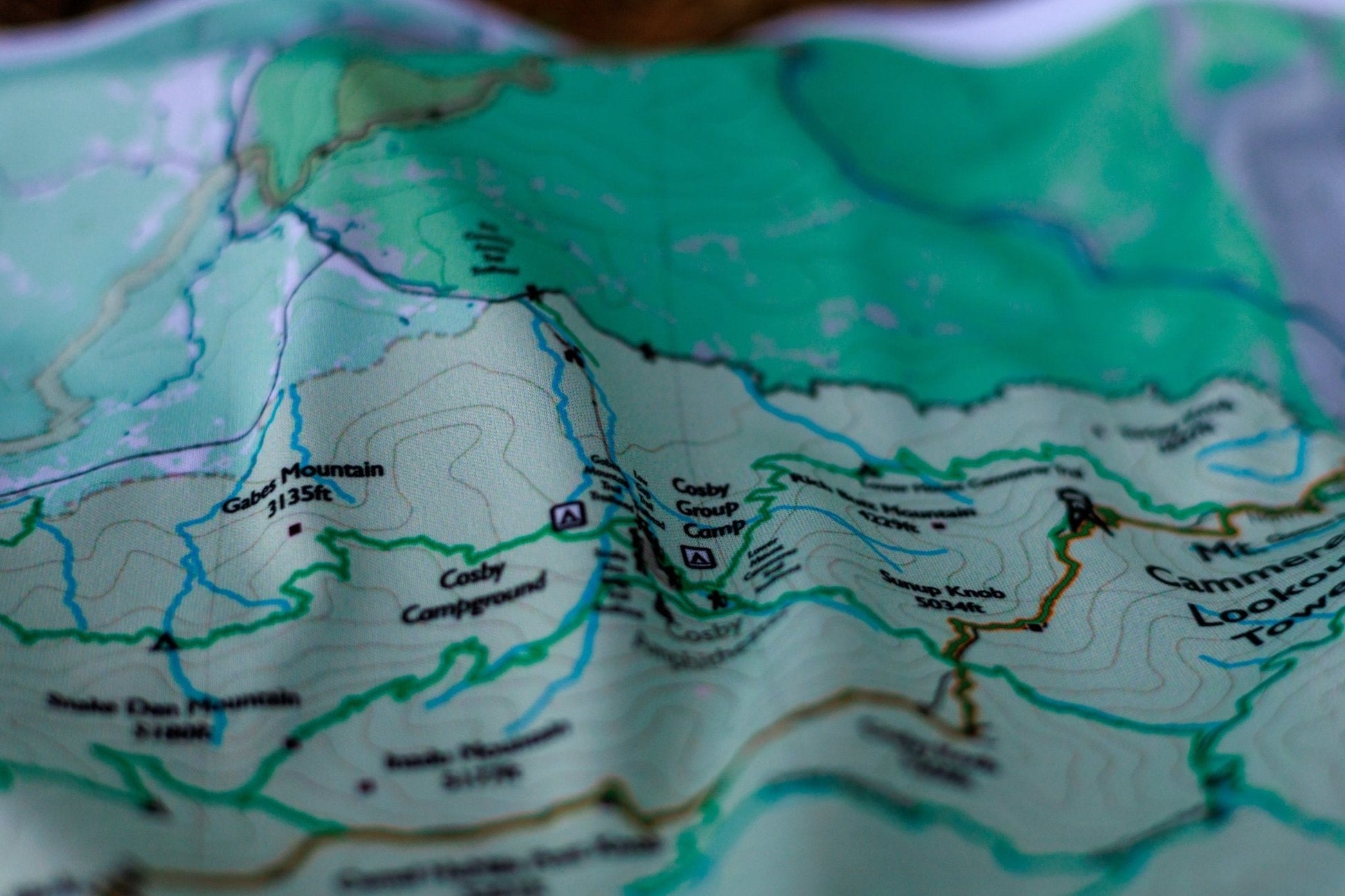
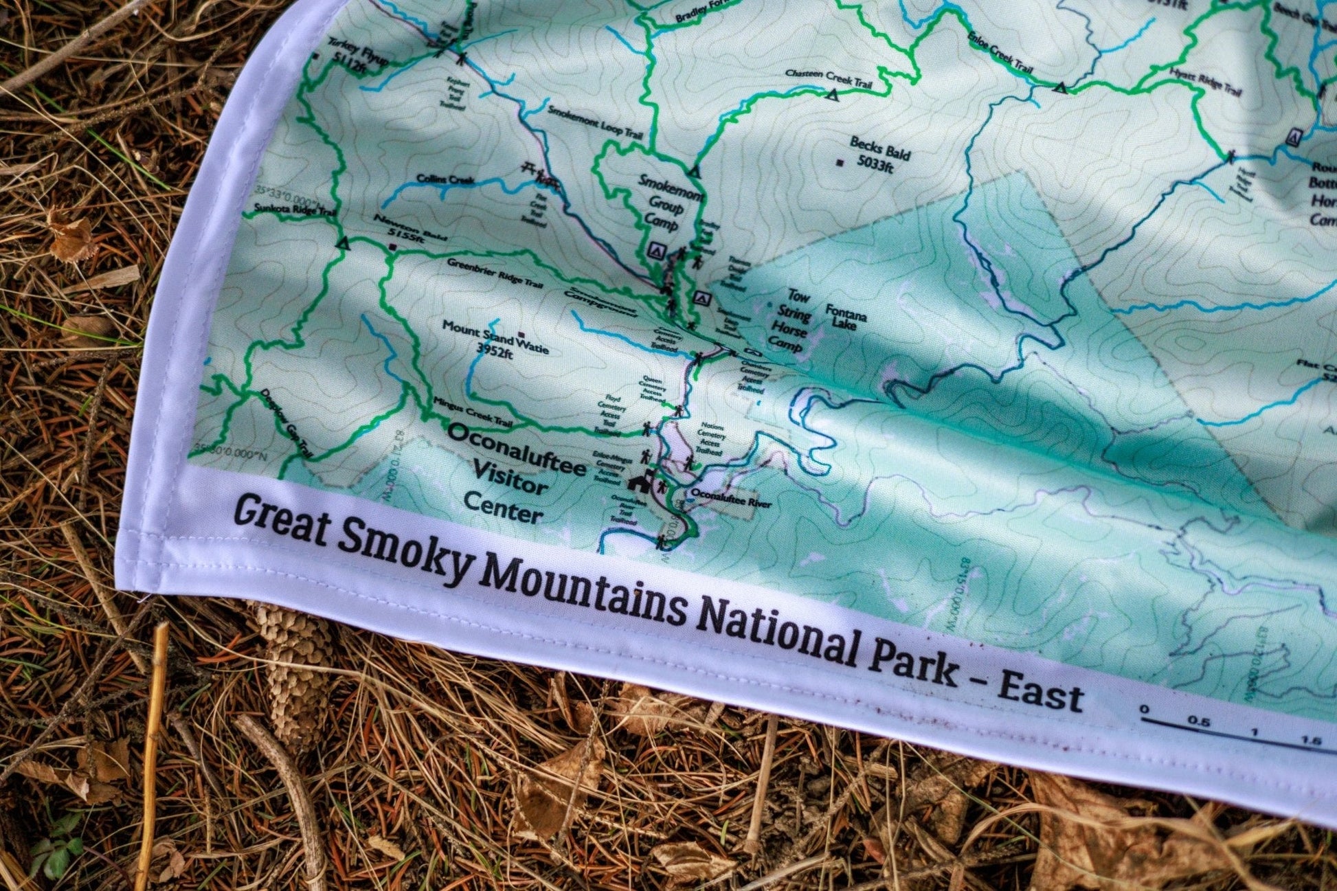
East — Cosby & Hen Wallow Falls, Big Creek (Midnight Hole, Mouse Creek Falls), Mt. Sterling Fire Tower, Mt. Cammerer Lookout Tower, Cataloochee Valley elk meadows, Oconaluftee Visitor Center
▼ Trails & features by variant
Overview (full park) All trails, campsites, roads, and ranger stations — complete coverage from Fontana Lake to Cosby
West Cades Cove Loop Road & Visitor Center · Abrams Falls Trail · Look Rock Tower · Appalachian Trail (Shuckstack, Russell Field, Spence Field) · Great Smoky Mountains Institute at Tremont · Middle Prong Trail · Little River Trail (western) · Hazel Creek backcountry · Eagle Creek · Fontana Lake (western)
Central Chimney Tops Trail · Alum Cave Trail & Alum Cave Bluffs · Laurel Falls Trail · Mount LeConte trails (Alum Cave, Rainbow Falls & Bullhead trailheads) · Clingmans Dome Tower & Visitor Center · Andrews Bald · Appalachian Trail (Newfound Gap to Charlies Bunion) · Deep Creek Trail · Little River Trail (eastern) · Sugarlands Visitor Center
East Cosby Campground & Hen Wallow Falls · Big Creek Trail · Midnight Hole · Mouse Creek Falls · Baxter Creek Trail to Mt. Sterling Fire Tower · Mt. Cammerer via Low Gap Trail · Cataloochee Valley (elk meadows & historic buildings) · Boogerman Trail · Oconaluftee Visitor Center · Appalachian Trail (eastern section)